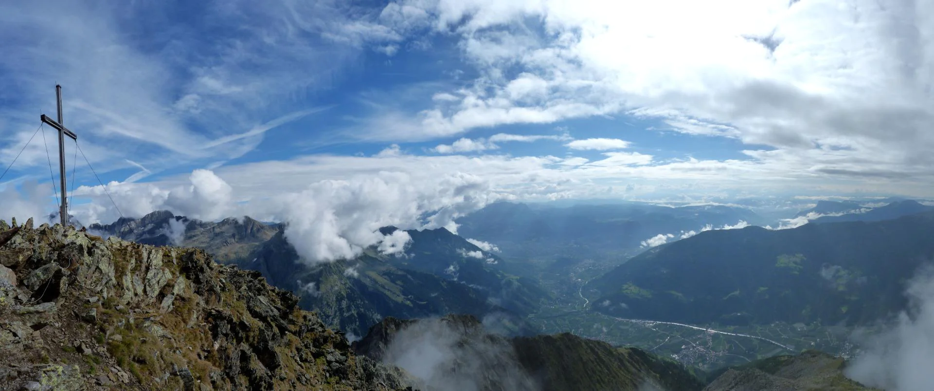
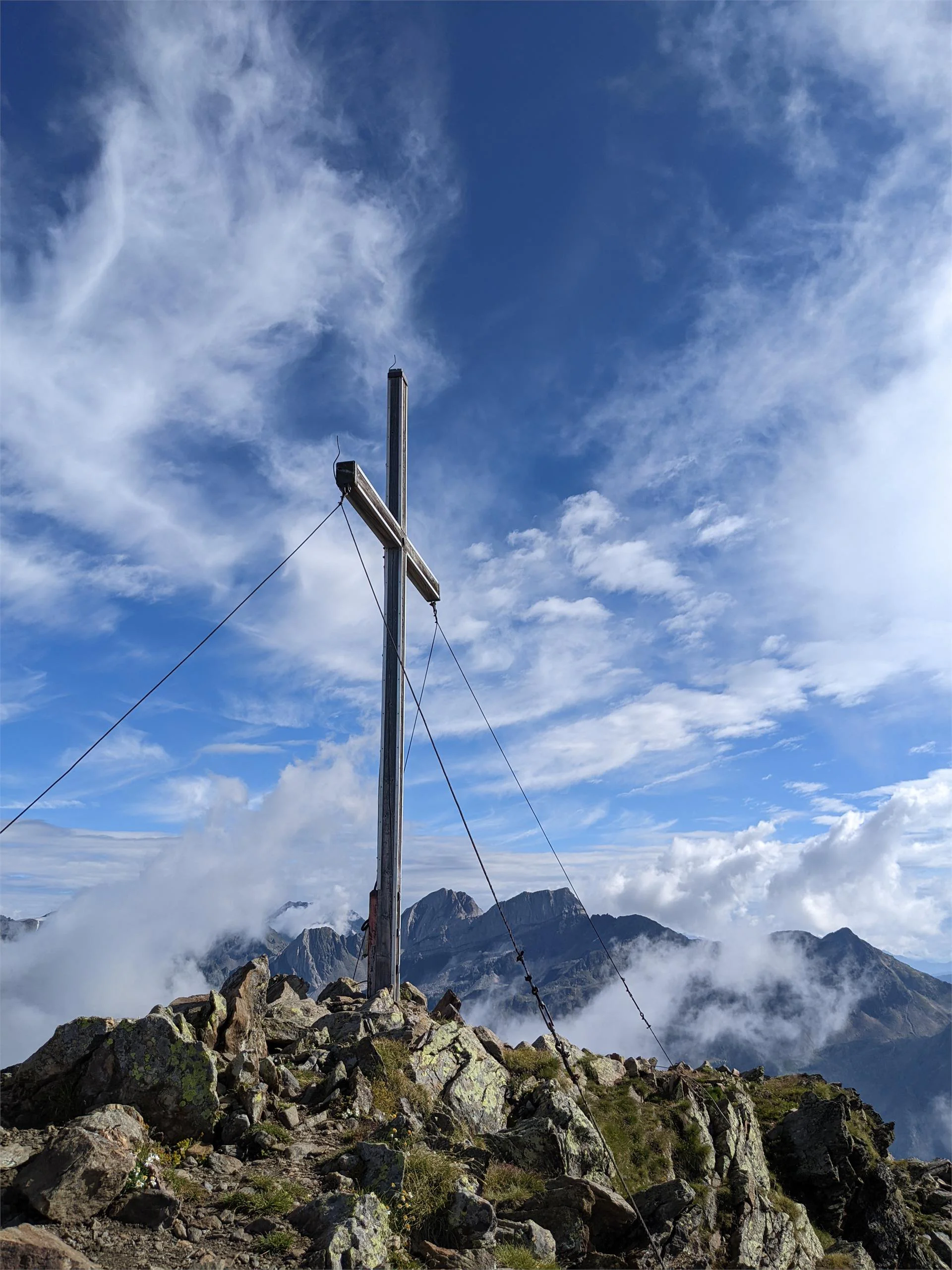
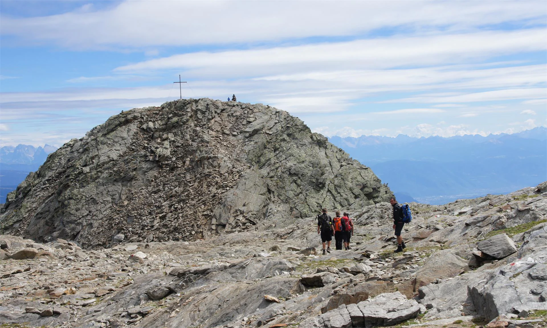
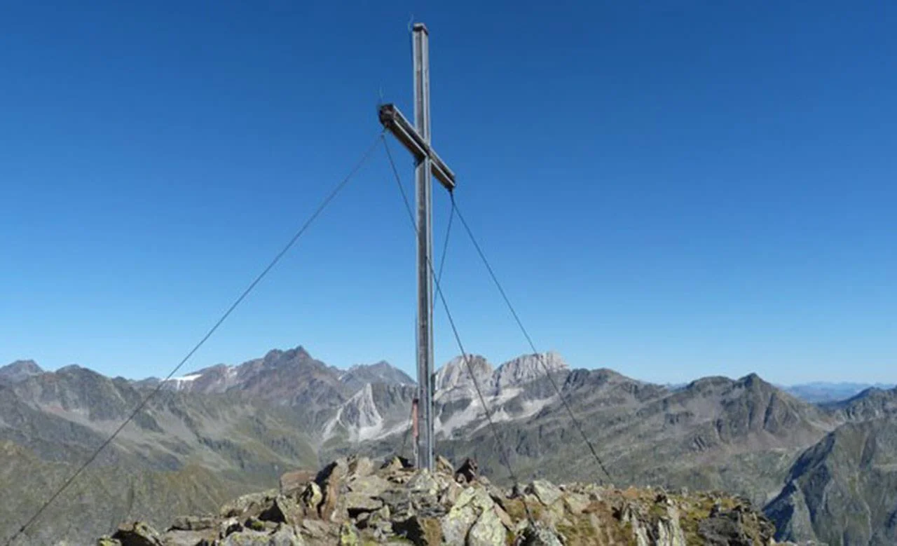
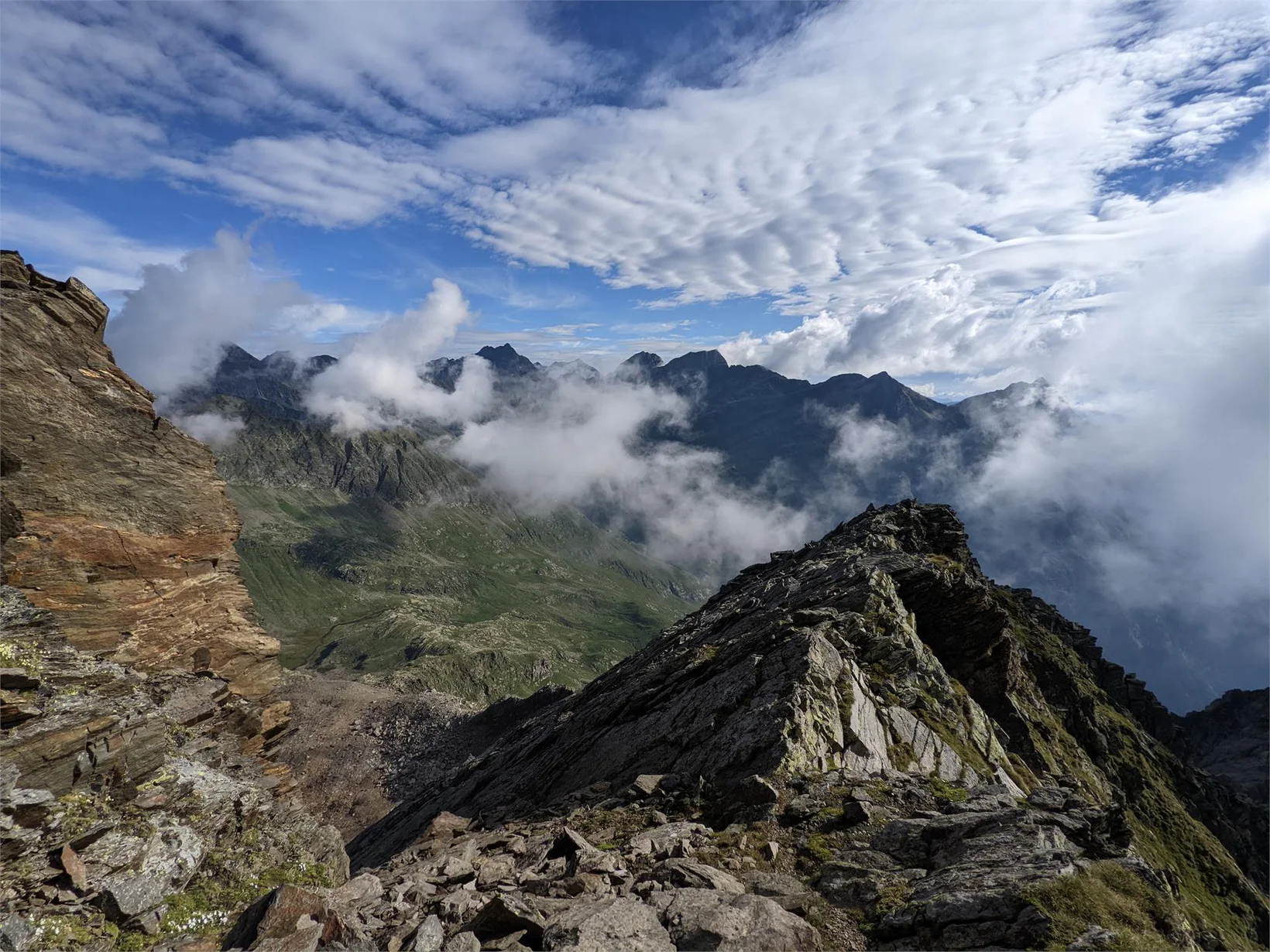
High above Partschins/Parcines sits the well-known local mountain of Partschins/Parcines, the Zielspitze summit!
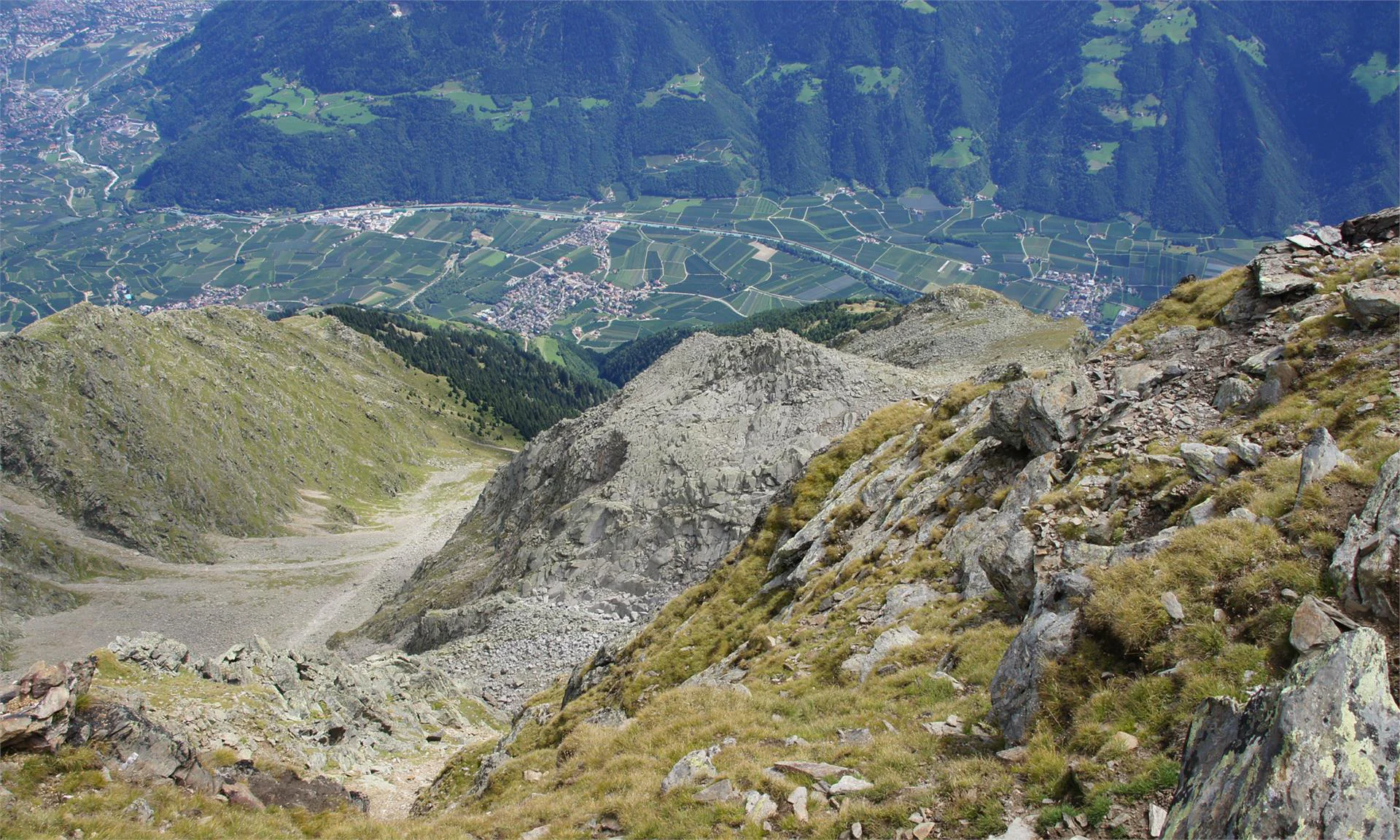
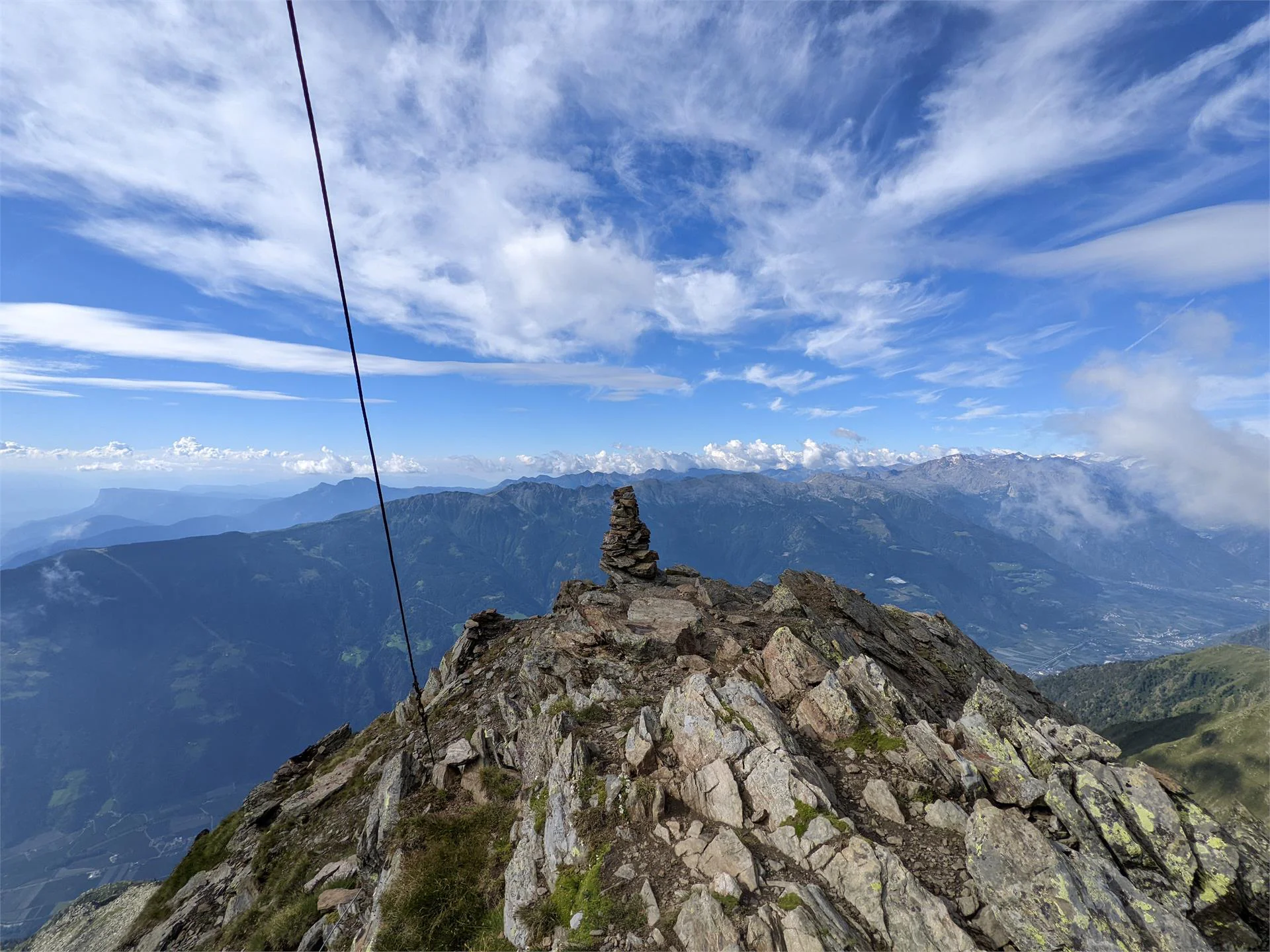
The three-thousand-metre peak is the first peak in the ridge between the Zieltal and Schnalstal valleys and at the same time the southernmost foothill of the Texel Group Nature Park.
Tour Start
Texelbahn cableway mountain station
Tour End
Texelbahn cableway mountain station
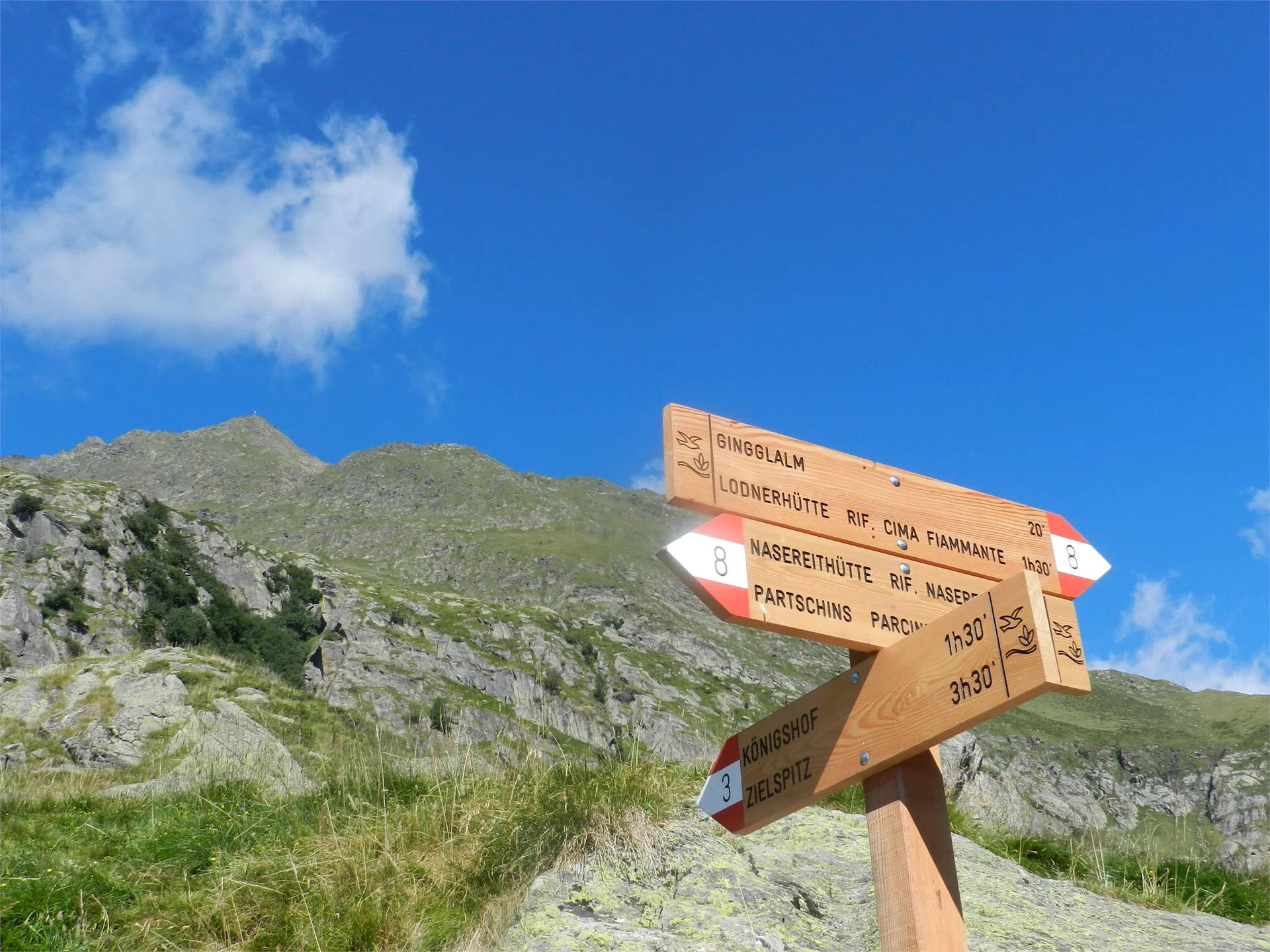
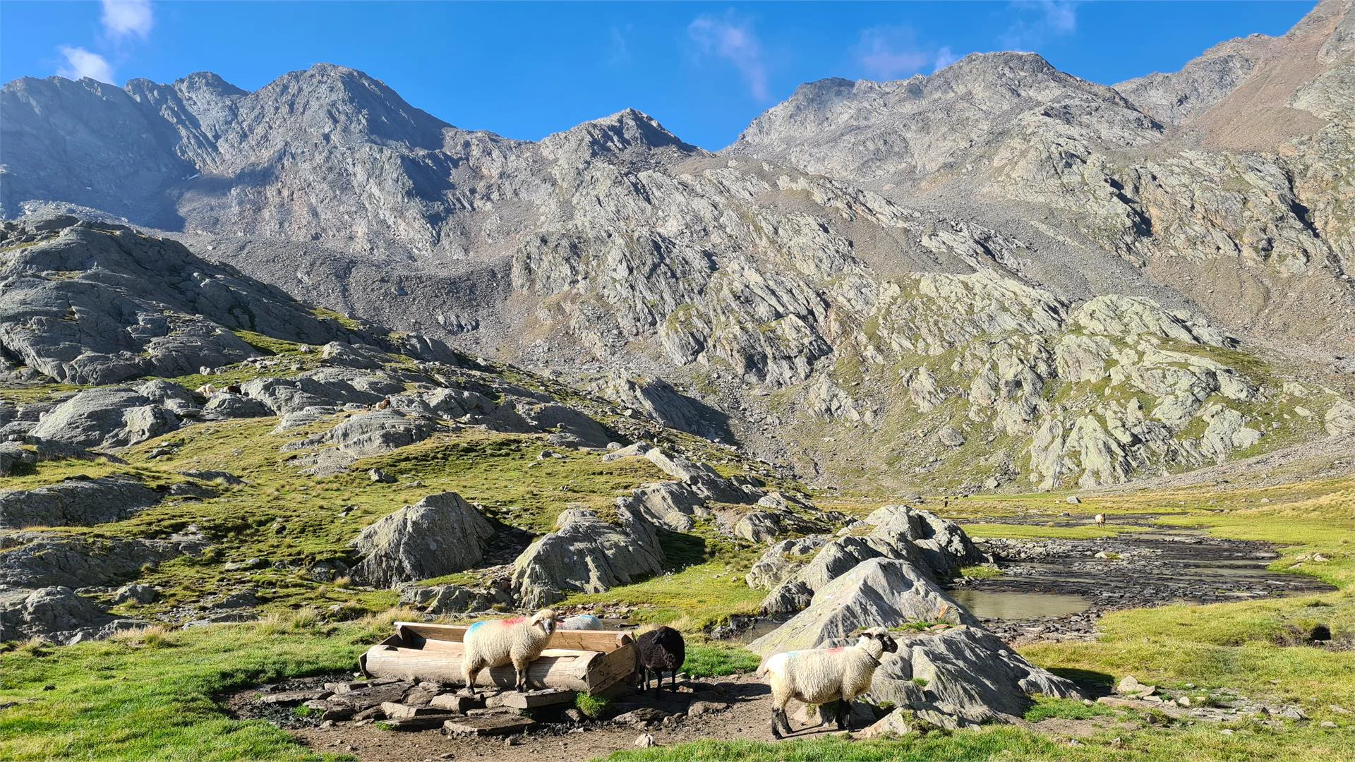
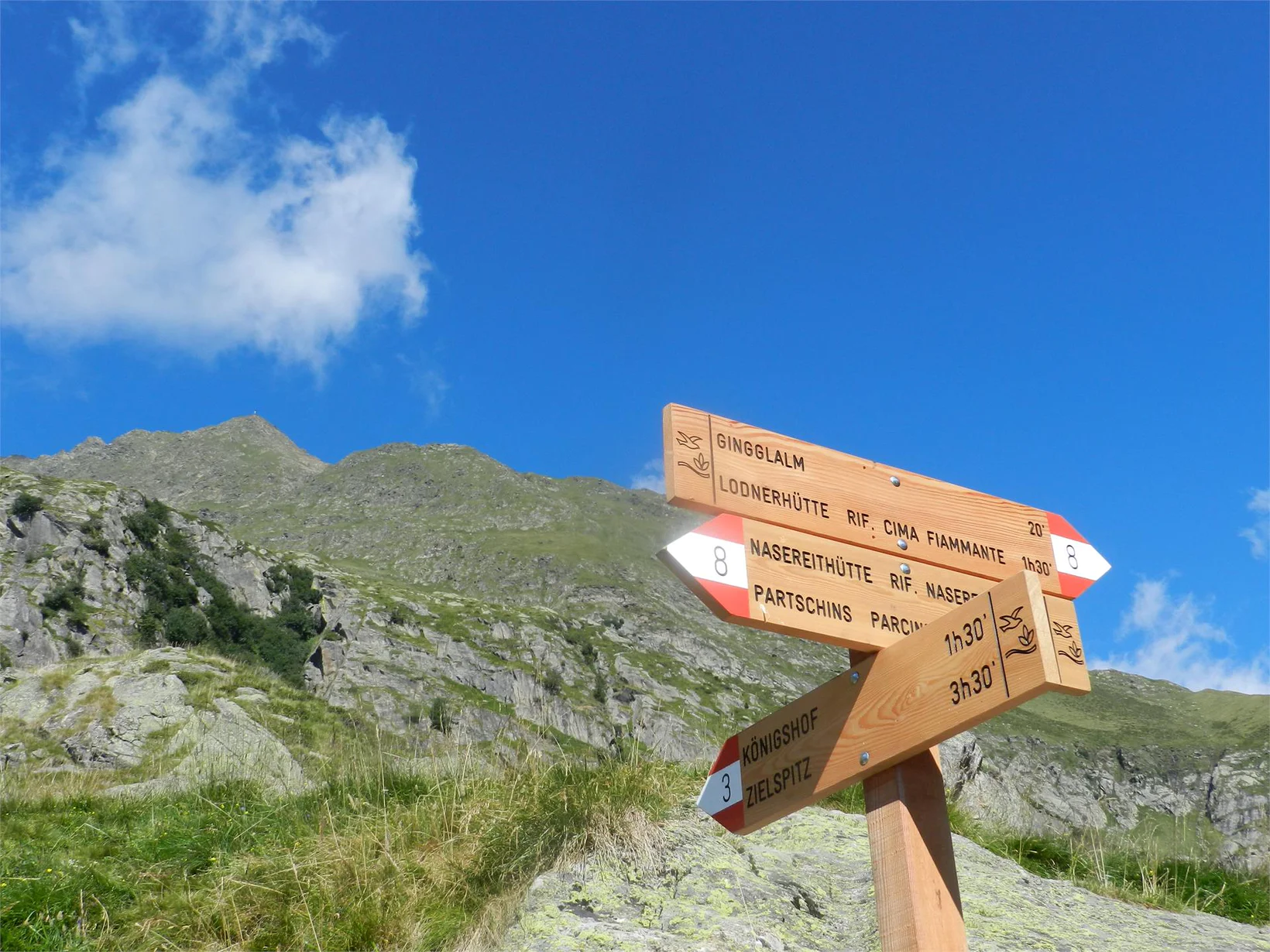
From the Texelbahn cableway mountain station on the Merano High Path Trail n° 24 to the refuge Nasereit (1,525 m). Continue on trail n° 8 into the Zieltal valley to “Ginglegg” (1,891 m), from here follow trail n° 3 to the ruined “Königshofalm” (2,348 m) and then turn left towards the Zielpitze summit (3,006 m). The descent follows the same route.
Variant: experienced and vertigo-free mountaineers with good physical condition can choose the more difficult variant from the mountain station of the Texelbahn cableway via trail. n° 2 through the “Schindeltal” valley. This ascent is very arduous and requires absolute freedom from vertigo and surefootedness in the summit area!
Attention:snowfields in early summer can make the hike considerably more difficult.
From Meran/o: train n° 250 to Rabland/Rablà – and from there bus n° 266 to the Texelbahn cableway valley station.
From Vinschgau valley/Val Venosta: train n° 250 to Rabland/Rablà, and from there bus n° 266 to the Texelbahn cableway valley station.
From Naturns/Naturno direct bus line n° 266
Parking
Texelbahn Cableway Valley Station, Zielstraße road, Rablà/Rabland
All-day parking, in the designated parking lot. Parking for campers only between 7.00 am – 7.00 pm
Public Transport
From Merano: the Venosta Valley Train or Bus 251 to Rablà/ Rabland, then Bus 265 to the Texelbahn Cableway. Or on the Venosta Valley Train/Bus 213 to Tel
From the Venosta Valley: on the Venosta Valley Train or Bus 251 to Rablà/Rabland and from then by Bus 265 to the Texelbahn Cableway.
Texelbahn cableway valley station, Via Ziel, Rabland/Rablà
All-day, in the designated parking area. Campers only between 7.00 a.m. – 7.00 p.m.
The car park at the Partschins cemetery is reserved for cemetery visitors and funerals. We ask you to respect this!

Confirmation email has been sent. Don't you find it? Check your spam folder.