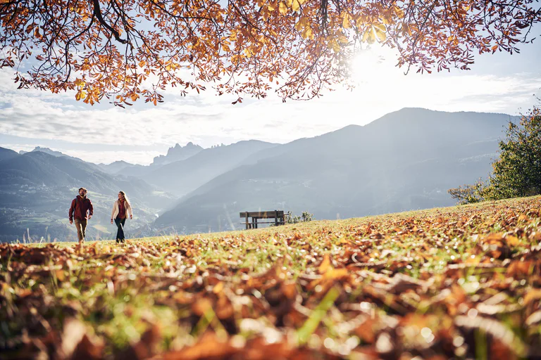
On the track of the chamois
Starting point: Val Casies Valley / S. Maddalena head of the valley
Distance: 16 km
Descent: circular hike
Walking time: 06:30 h
Difficulty: difficult
Difference in altitude: 1009 m
Information: www.suedtirolmobil.info - Lin. 441
Coming from Innsbruck/Brennero (A): Drive on the Highway of Brennero (A22) until the exit Bressanone/Val Pusteria, then go on along the SS49-E66 for about 58kms until you arrive in Monguelfo. To get to Tesido and the Val Casies Valley, we recommend to take the exit West in Monguelfo.
Coming from Lienz (A): You can reach us also padding by Lienz in Westtyrol (A). You have to cross the Austrian-Italian border between Ahrnbach and Winnebach (B100-E66) and drive on the SS46-E66 until Monguelfo. To get to Tesido and the Val Casies, we recommend to take the exit West in Monguelfo.
Parking lot on payment at the head of the valley in the Val Casies Valley/S. Maddalena.

Confirmation email has been sent. Don't you find it? Check your spam folder.