Skip to content

added to favourites

removed from favourites

Oops! Something went wrong. Try again

Your account is being created

Your account has been successfully created and you are now logged in

You’ve been logged in successfully!

Your account was created successfully, but we couldn't log you in automatically

You are logged out.

Filter
Selected filters
    Level of difficulty
    Duration
    Distance in KM

    Hiking Trails in the Dolomites regions

    Walking is the best way to enjoy wonderful stretches of greenery. During your spring in South Tyrol, you can witness the awakening of nature in the valley and on the alpine meadows in bloom. Midsummer days are equally surprising:  people are lured to mountain peaks, marvel at sweeping views and indulge in the traditional dishes served in quaint mountain huts. Go on a hike to watch the spectacle of autumn’s glorious colours and relax in nature.

    Results
    Hiking
    Hike to the Mountain Station Jochtal
    Mühlbach/Rio di Pusteria, Brixen/Bressanone and environs

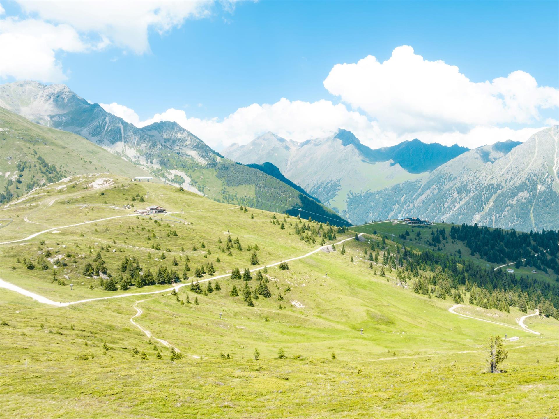
    Start at the Jochtal valley station and follow the so-called "Dynafit" trail  (no. 10). This trail is well-marked and runs through the picturesque landscape of the Jochtal valley. As you progress, the view opens up, offering you breathtaking panoramas of the surrounding mountain peaks.

    This trail is not only a summer adventure: in winter, the Dynafittrail becomes a popular ski touring route, providing a safe and varied ascent to the mountain station for ski tourers.
    Difficulty: medium
    638 m elevation gain
    2h:04 min duration
    Hiking
    2 lakes view hike
    Rasen-Antholz/Rasun Anterselva, Dolomites Region Kronplatz/Plan de Corones

    Lake Antholz (1,650 m) > Almensteig (cabin trail) > Steinzger cabin (1,894 m) > trail no. 7 B > Obere Steinzger Alm (2,076 m; not managed) > trail no. 7a > at the highest point (2,260 m) amazing view of both lakes and the surrounding mountain scenery > Staller Saddle / Obersee (2,050 m) > trail no. 11 back to Lake Antholz.

    Difficulty: medium
    678 m elevation gain
    3h:37 min duration
    Hiking
    Hiking to the Rauter Farms (Redensberg)
    Rasen-Antholz/Rasun Anterselva, Dolomites Region Kronplatz/Plan de Corones

    From Niederrasen (Linde) > path n. 8 (steep) > Rauterhöfe > turn left on path n. 22 or passing the farm on the right following the panorama path > Redensbergerhöfe > paved raod n. 4 > Pfaffingerhöfe > Niederrasen.

    Difficulty: medium
    391 m elevation gain
    2h:15 min duration
    Hiking
    Ruins of Castle Neurasen
    Rasen-Antholz/Rasun Anterselva, Dolomites Region Kronplatz/Plan de Corones

    From Niederrasen (Pfaffingerhöfe) > on the edge of the woods (circular path) to the hunting lodge (Jagdhaus) > Burgfriedenhof > turn on the chapel > ascent to the ruins of the Neurasen Castle.

    From Oberrasen> mark n. 3.

    The Rasun Nuova Castle in Oberrasen is privately owned and belongs to the Burgfrieder farm.

    Difficulty: medium
    343 m elevation gain
    1h:15 min duration
    Hiking
    Ausserweger Hütte - Staller Alm
    Rasen-Antholz/Rasun Anterselva, Dolomites Region Kronplatz/Plan de Corones

    Park your car on the top of the Staller Saddle (2.050 m) > path n. 113 > Lake Obersee > Ausserweger Hütte.

    Alternatively from Lake Antholz > trail no. 11 > Staller Saddle > Obersee > Außerweger Hütte.

    Difficulty: easy
    22 m elevation gain
    0h:45 min duration
    Hiking
    Panoramic trail around Terenten
    Terenten/Terento, Brixen/Bressanone and environs
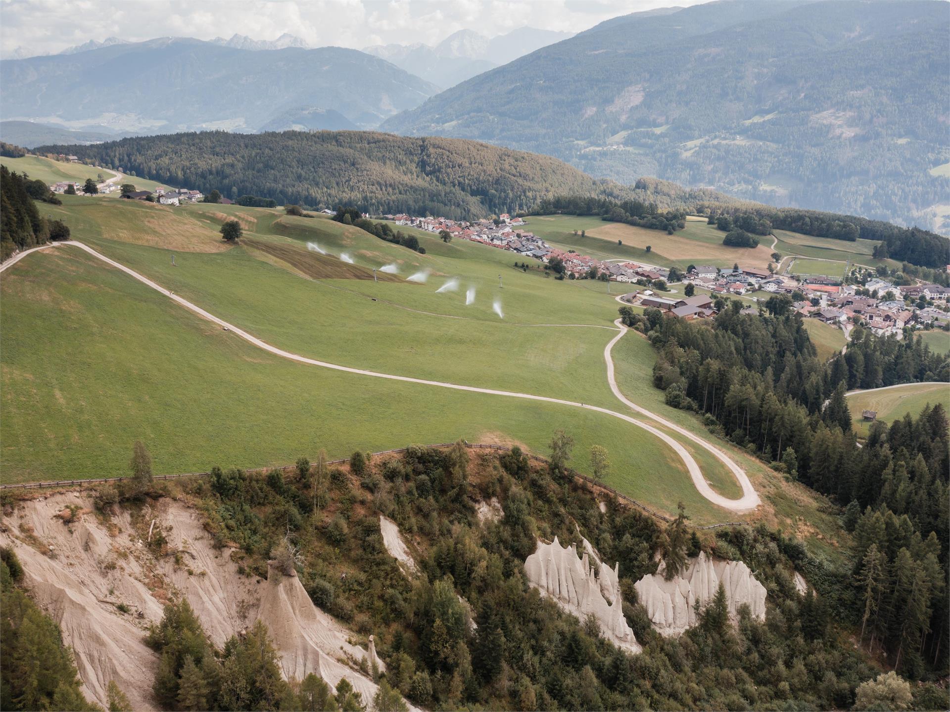
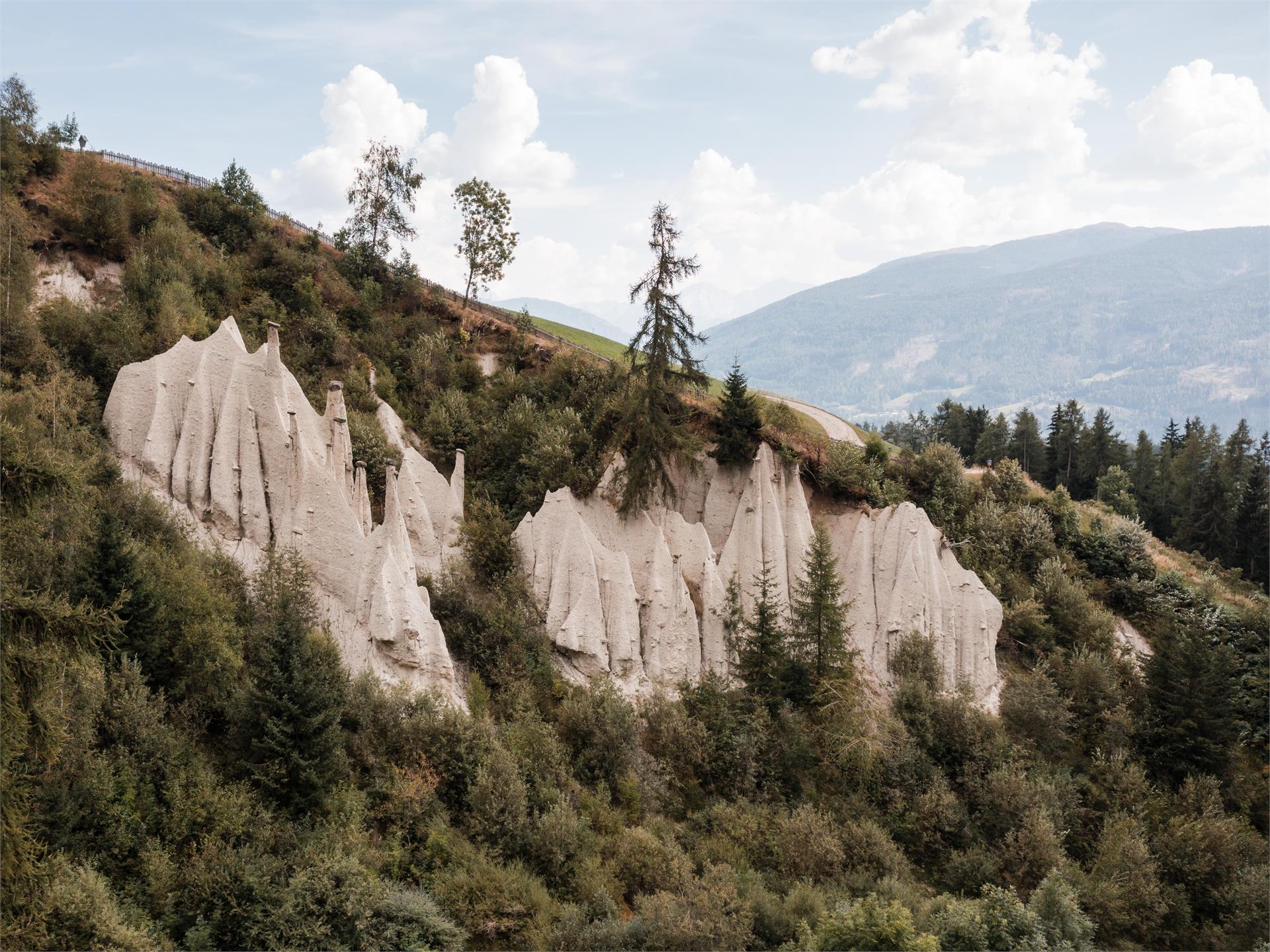
    The Panorama Loop in Terenten offers scenic views and peaceful nature trails. A perfect circular hike for those who want to explore the landscapes and enjoy the beautiful panoramas of Terenten.
    Difficulty: medium
    599 m elevation gain
    5h:00 min duration
    Hiking
    From Welschnofen | Nova Levante to the Messnerjoch hut
    Welschnofen/Nova Levante, Dolomites Region Eggental

    This excursion is suitable for everybody and offers a breathtaking view to the Dolomites mountains.
    Starting from Nova Levantw/ Welschnofen over the Passo Nigra/ Nigerpass to the Messnerjoch alpine hut, where homemade cakes, South Tyrolean specialities, a great children's playground and above all the sunny panoramic terrace of the alpine hut invite you to linger.

    Difficulty: medium
    779 m elevation gain
    4h:55 min duration
    Hiking
    Winterwalk to the Mountain hut Enzianhütte
    Brenner/Brennero, Sterzing/Vipiteno and environs

    The hike to the Enzianhütte starts about 1.5 km south of Brennerbad (1310 m) on the Brennerstreet, where a signposted access road (sign "Enzianhütte") branches off. After passing under the highway, the path first goes left and then through the forest, leading you up to the meadows of Kreithof (1391 m). From there, continue on foot in gentle switchbacks through the forest to the hut "Ziroger Alm" (1762 m). The path continues through open slopes and finally reaches the hut Enzianhütte (1894 m), a private and managed mountain hut. The descent can be done either on foot (approx. 1.5 hours) or by sleigh.

    During the winter season 2024/25, the hut Enzianhütte will be closed, and there will be no opportunity for refreshments.

    Difficulty: medium
    642 m elevation gain
    3h:00 min duration
    Hiking
    Bergeralm
    Rasen-Antholz/Rasun Anterselva, Dolomites Region Kronplatz/Plan de Corones

    From Antholz Mittertal (sports area) > Eggerhöfe > turn right > follow the foresty street > n. 3/12 > Klammbach Waterfalls > Bergeralm.

    Difficulty: easy
    368 m elevation gain
    1h:15 min duration
    Hiking
    Kumpflalm Hut (path)
    Rasen-Antholz/Rasun Anterselva, Dolomites Region Kronplatz/Plan de Corones

    From the village center Antholz Mittertal (passing the police station) > going up at the Amus Chalets > farm Außerkumpflhof > follow the path to the Kumpflalm hut.

    Difficulty: easy
    366 m elevation gain
    1h:04 min duration
    Hiking
    Lutterkopf - Durakopf
    Rasen-Antholz/Rasun Anterselva, Dolomites Region Kronplatz/Plan de Corones

    From Nieder- or Oberrasen > path n. 20 > Berggasthaus Mudler > path marked n. 31 > Lutterkopf > crossing the Durakopf on mark n. 31 > descent on mark n. 38 > Taistner Vorderalm (rest station) > Mudler > Rasun.

    Difficulty: medium
    1176 m elevation gain
    6h:00 min duration
    Hiking
    Dolomites panoramic view tour
    Rasen-Antholz/Rasun Anterselva, Dolomites Region Kronplatz/Plan de Corones

    From Niederrasen (church) > path n. 21 (steep) > Obergoste > Feichter und Breitwiesenhof > Kirmlehof (approx. 10 min. further above Berggasthaus Mudler) > descend on mark n. 20 > path Imberg > Oberstallerhöfe > Niederrasen or Oberrasen.

    Difficulty: medium
    555 m elevation gain
    2h:58 min duration
    Hiking
    Mount Dura
    Rasen-Antholz/Rasun Anterselva, Dolomites Region Kronplatz/Plan de Corones

    From Antholz Niedertal (Bad Salomonsbrunn) > Walderhöfe > mark n. 31b or the forest road to the Hofstattalm (rest station) > Langeggalm (not open) > the path continues to the Durakopf peek.

    Difficulty: medium
    1172 m elevation gain
    3h:30 min duration
    Hiking
    Family hike to the Messnerjoch hut
    Welschnofen/Nova Levante, Dolomites Region Eggental

    This ideal family hike leads along a comfortable forest path to the Messnerjoch hut,
    from where you have a wonderful view of the surrounding mountain ranges. For the little ones there is a great children's playground and a petting zoo.

    Difficulty: medium
    232 m elevation gain
    1h:22 min duration
    Hiking
    Excursion to the Messnerjoch hut
    Welschnofen/Nova Levante, Dolomites Region Eggental

    This excursion is suitable for everybody and offers a breathtaking view to the Dolomites mountains.

    Difficulty: easy
    273 m elevation gain
    1h:33 min duration
    Hiking
    Am Joch: Scenic Hike in Terenten
    Terenten/Terento, Brixen/Bressanone and environs
    This hike offers unparalleled views over the Dolomites and Zillertal Alps. The varied route takes you through alpine meadows and open forests – perfect for those seeking tranquility and expansive vistas.
    Difficulty: medium
    827 m elevation gain
    2h:30 min duration
    Hiking
    Kumpflalm Hut
    Rasen-Antholz/Rasun Anterselva, Dolomites Region Kronplatz/Plan de Corones

    From Antholz Mittertal (sports area) > to the Eggerhöfe > turn left > follow the foresty road (path n. 6a) > Kumpflalm.

    Difficulty: easy
    396 m elevation gain
    1h:16 min duration
    Hiking
    Panoramic hike to the Steiner Mandl
    Mühlbach/Rio di Pusteria, Brixen/Bressanone and environs

    The hike to Steiner Mandl is an easy trail that rewards you with breathtaking panoramic views, ideal for nature lovers and those looking to enjoy the beauty of the Alps.

    Difficulty: easy
    147 m elevation gain
    0h:46 min duration
    Hiking
    Leitensteig trail: From Meransen to Vals
    Mühlbach/Rio di Pusteria, Brixen/Bressanone and environs
    The Leitensteig is a natural, narrow hiking trail that links the villages of Meransen and Vals through the forest. Perfect for hikers with sure footing who appreciate nature and tranquility.
    Difficulty: medium
    133 m elevation gain
    1h:19 min duration
    Hiking
    Mills trail & earth pyramids
    Terenten/Terento, Brixen/Bressanone and environs
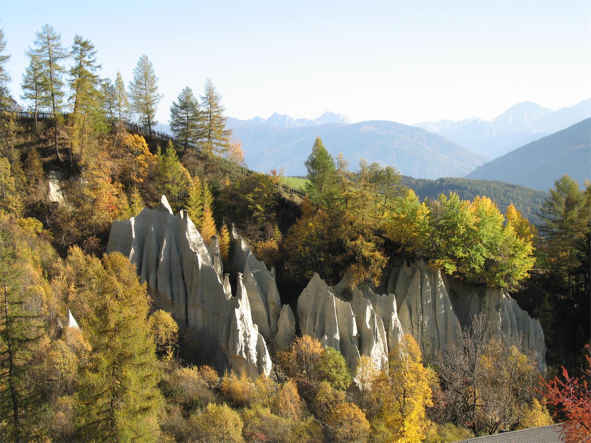
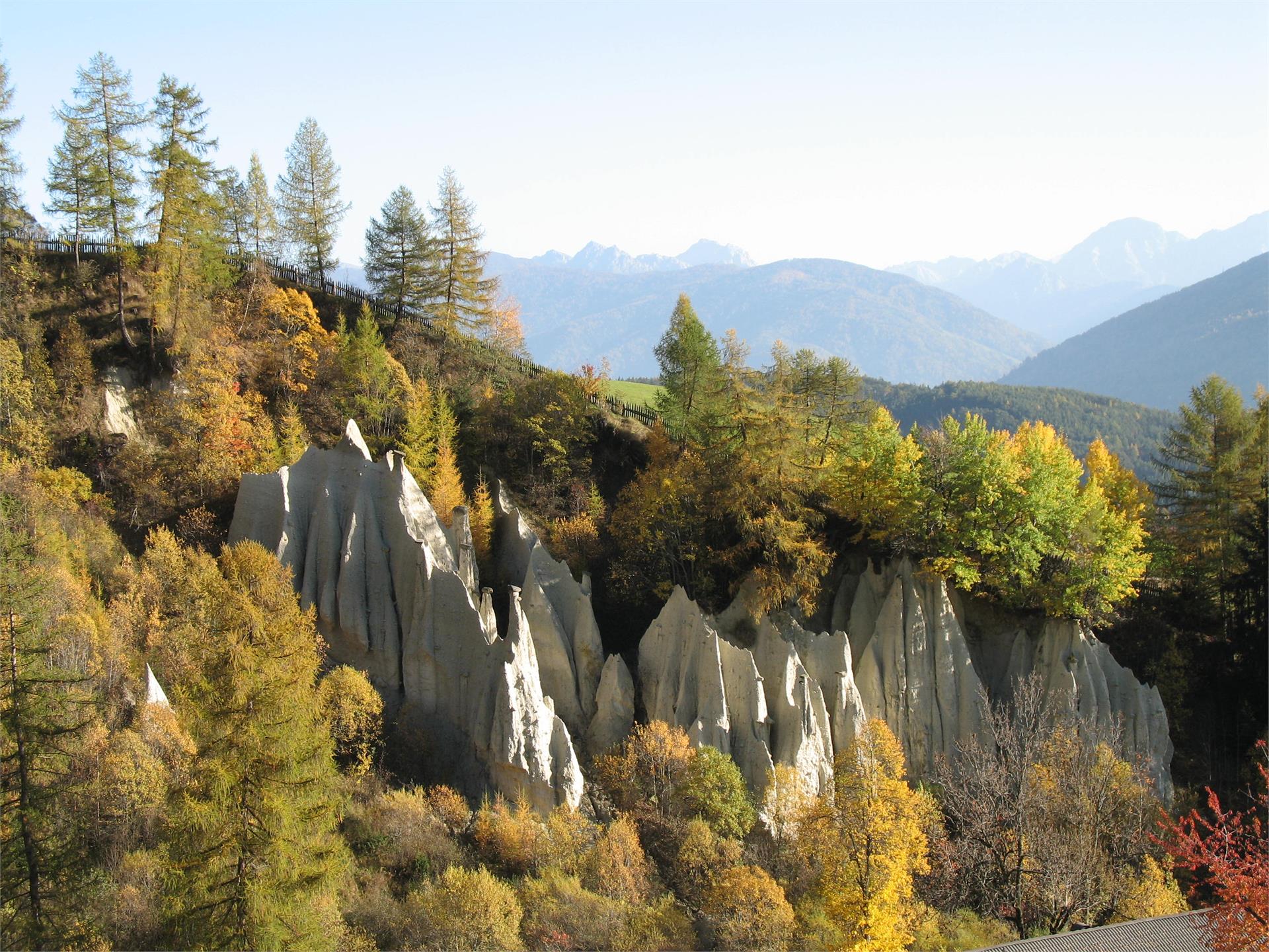
    The Mills Trail in Terenten is a perfect family-friendly walk that combines nature, history, and unique views. A relaxed path that highlights the charm of the old mills and the magical atmosphere of the Earth Pyramids.
    Difficulty: easy
    235 m elevation gain
    1h:30 min duration
    Hiking
    Ruins Castle Altrasen
    Rasen-Antholz/Rasun Anterselva, Dolomites Region Kronplatz/Plan de Corones

    From Niederrasen (church) > from 500 m in direction > Oberstall (mark n. 20) > on the edge of the woods turn right > ruins of Altrasen.

    Difficulty: medium
    147 m elevation gain
    0h:30 min duration
    Hiking
    To the Poppekanzel | Pulpito in the Latemar
    Welschnofen/Nova Levante, Dolomites Region Eggental

    Across the beautiful Latemar meadows, you reach the Latemar Cinema, which, as the name suggests, offers magnificent panoramic views. The subsequent exhausting ascent to the Pulpito peak is rewarded by a breathtaking view of the surrounding mountains like the Pala Group, Marmolada, Sella, Sassolungo, Catinaccio and Ötztal Alps.

    Difficulty: difficult
    564 m elevation gain
    3h:00 min duration
    Hiking
    Urig Trail
    Rasen-Antholz/Rasun Anterselva, Dolomites Region Kronplatz/Plan de Corones

    From Antholz Mittertal (camping side) > trail no. 1 > Müller crucifix > trail no. 9 > on an old military road in well laid out hairpin bends to the Grübl Hut (not managed) > Urig Trail (no. 9a), passing the river Plötzlbach, back into the valley until Antholz Obertal > trail no. 1 back to Antholz Mittertal.

    Difficulty: medium
    1050 m elevation gain
    4h:01 min duration
    Hiking
    Hike to the Brixner hut
    Pfitsch/Val di Vizze, Brixen/Bressanone and environs
    In the South Tyrolean part of the Zillertal Alps, in the middle of the Pfunderer mountains, the Brixner hut at 2,282 m awaits you. The shortest and most unusual way to get there starts in Vals, more precisely from the Fane Alm, a rustic mountain village. You first walk along a gravel path and cross the idyllic alpine village of Fane with its traditional huts, cattle sheds and small, charming church. Trail no. 17 continues along the Vallerbach stream to the waterfalls. From here it is a leisurely ascent to the Brixner hut. The trail is ideal for families, and the panoramic views over the Valler Valley will delight you!
    Difficulty: medium
    580 m elevation gain
    1h:49 min duration
    Hiking
    Winter hike from the Frommeralm hut to the Messnerjoch hut
    Welschnofen/Nova Levante, Dolomites Region Eggental
    This winter hike begins at the Frommeralm hut and leads through a charming winter landscape to the Nigerpass | Passo Nigra and then to the Messnerjoch hut. The route follows a well-prepared path and offers an impressive view of the Rosengarten | Catinaccio. The Almhütte Messnerjoch hut invites you to stop and relax. Here, you can enjoy a warm drink and homemade specialties while taking in the view of the winter mountain landscape.
    Difficulty: easy
    352 m elevation gain
    2h:22 min duration
    Hiking
    Highwalk in Anterselva di Sopra
    Rasen-Antholz/Rasun Anterselva, Dolomites Region Kronplatz/Plan de Corones

    From the Biathlon center (parking area) > on the "Franzosensteig" marked n. 11 to Vorderpassler > Schwörzalm > Bergeralm > Klammbach waterfall > Eggerhöfe > Antholz Mittertal.

    Difficulty: medium
    293 m elevation gain
    2h:06 min duration
    Hiking
    Grentealm Messnerwirt
    Rasen-Antholz/Rasun Anterselva, Dolomites Region Kronplatz/Plan de Corones

    From Antholz Niedertal> at the curch turn left > edge of the woods > Maierhöfe (Pfaffingerhof) > mark n. 6 > Grentealm.

    From Antholz Mittertal > Ausserweger sawmill > turn right > at the parking area follow path n. 6 (steep path) > or follow the foresty street > Grentealm.

    Tipp: Climb to the Grente cross 2.250 m. Here you can descend on the path n. 6b to the Ochsenalm. Or from the Grentealm > path n. 6a > Kumplalm.

    Difficulty: difficult
    904 m elevation gain
    2h:45 min duration
    Hiking
    Hike to the Tschiffernaun hut
    Mühlbach/Rio di Pusteria, Brixen/Bressanone and environs

    The hike begins at the Fane Alm parking area, accessible via a narrow mountain road from the village of Vals. Initially, you follow trail no. 17 briefly in the direction of Fane Alm. Shortly after, you turn right onto the alpine road to Tschiffernaun Alm– a more relaxed alternative to the steep trail 15A. The road leads you up to Tschiffernaun Alm. At the beginning, you walk through dense forests, passing by small waterfalls. Later, near Stin Alm, the forest opens up to expansive alpine meadows.

    Difficulty: medium
    504 m elevation gain
    1h:34 min duration
    Hiking
    Klammbach waterfall
    Rasen-Antholz/Rasun Anterselva, Dolomites Region Kronplatz/Plan de Corones
    From Antholz Mittertal (sport area) > Eggerhöfe > turn left > foresty road n. 3/12. You will find the Klammbach waterfall below the Bergeralm.
    Difficulty: easy
    253 m elevation gain
    0h:40 min duration