Ga meteen naar de inhoud

toegevoegd aan favorieten

verwijderd uit favorieten

Helaas is er een probleem opgetreden. Probeer het opnieuw.

Uw account wordt aangemaakt

Je account is succesvol aangemaakt en je bent nu ingelogd

U bent succesvol ingelogd!

Uw account is succesvol aangemaakt, maar we konden u niet automatisch aanmelden

U bent uitgelogd

Filteren
Geselecteerde filters
    Moeilijkheidsgraad
    Duur
    Afstand in km

    Wandelingen & bergtochten in de Dolomietenregio Kronplatz

    De natuur is een geschenk dat je het beste te voet kunt ervaren. In de Zuid-Tiroolse lente ontdek je de ontwakende natuur in het dal en op bloeiende alpenweiden. In de zomer trekken koele bergtoppen, gezellige berghutten en hooggelegen wandelroutes je de bergen in. Herfstwandelingen bieden adembenemende vergezichten en een landschap vol warme kleuren.

    Resultaten
    Hiking
    Hike to the Brunst hut
    Welsberg-Taisten/Monguelfo-Tesido, Dolomites Region Kronplatz/Plan de Corones

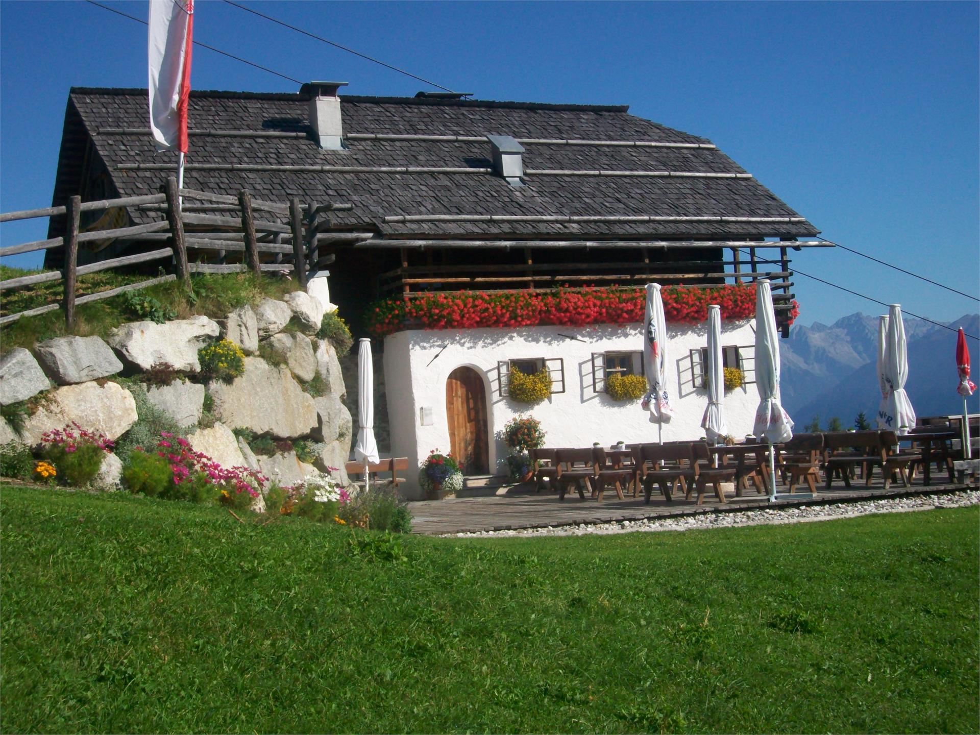
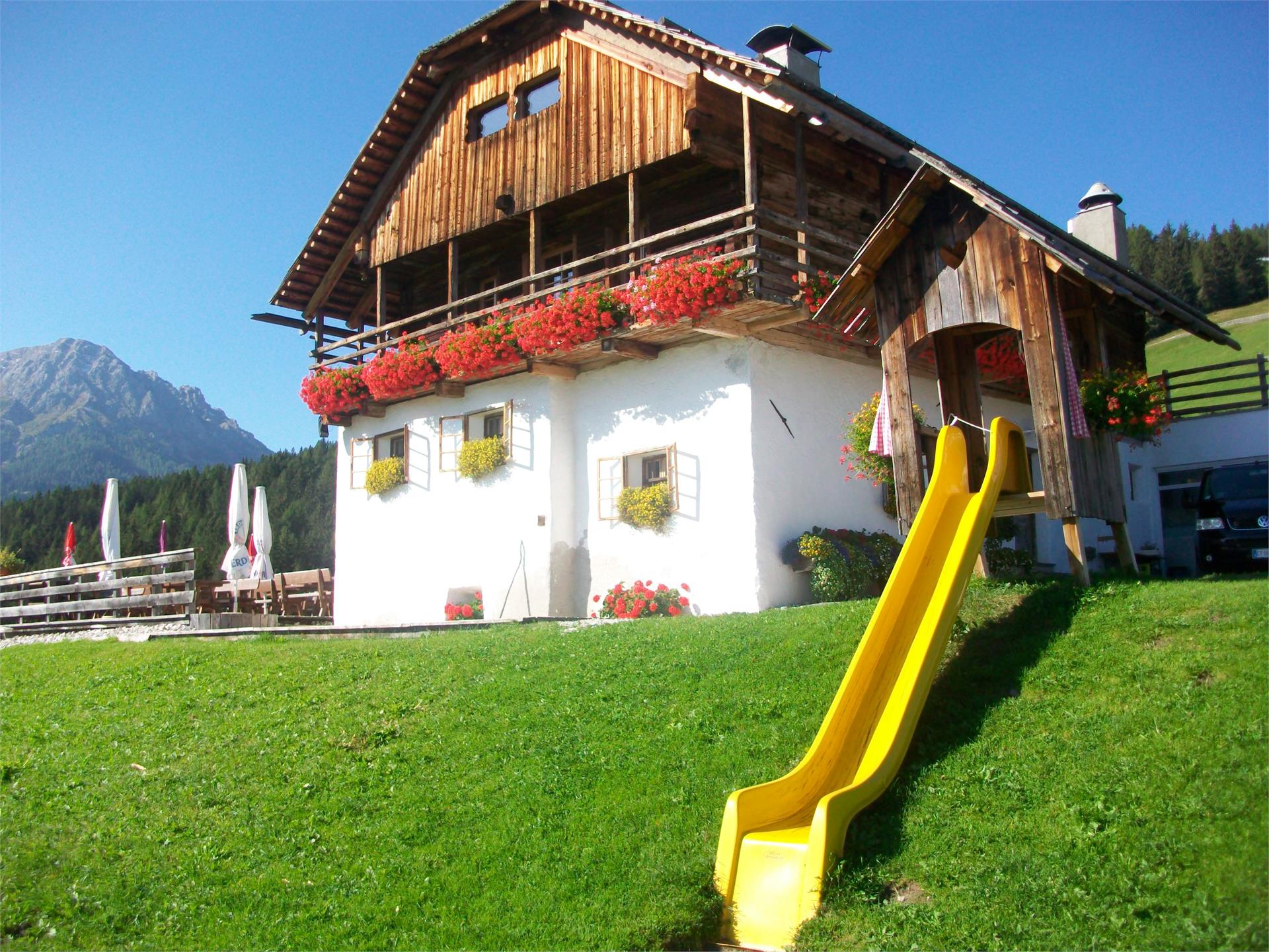
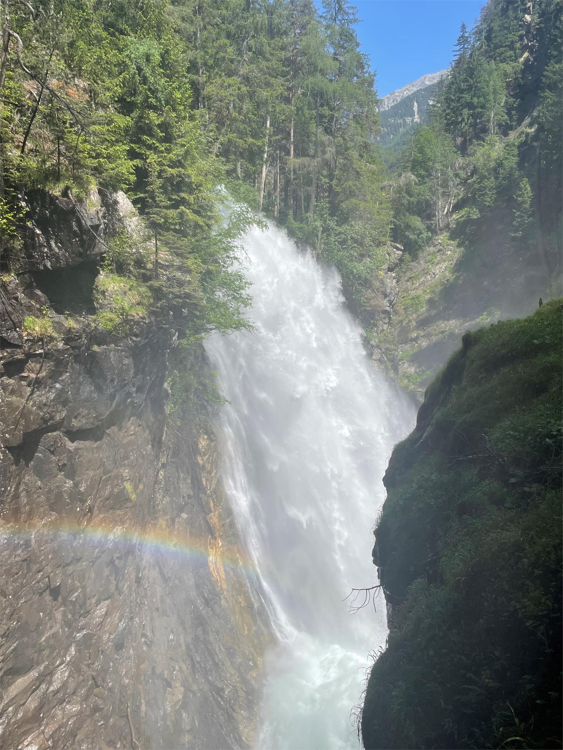
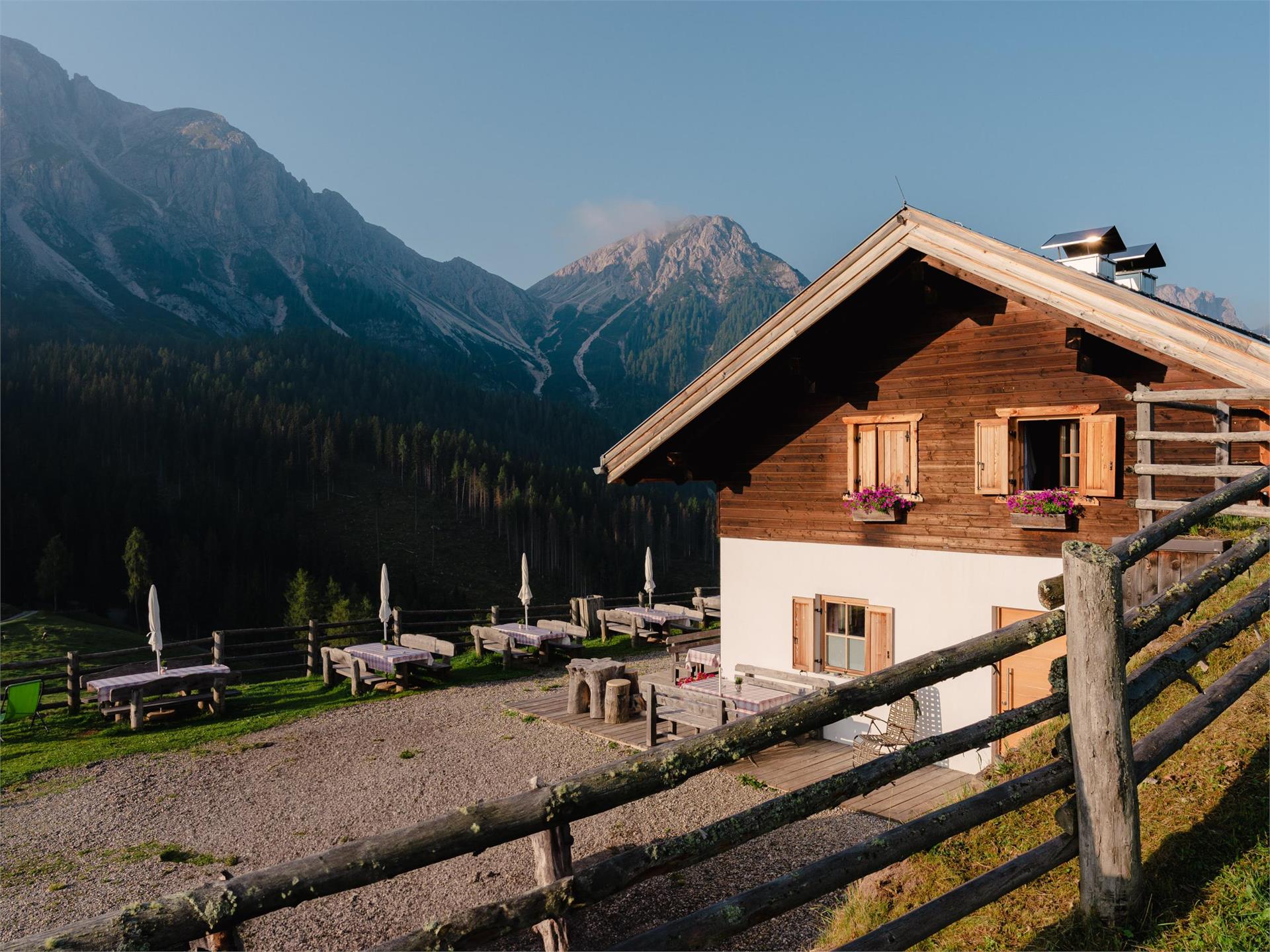
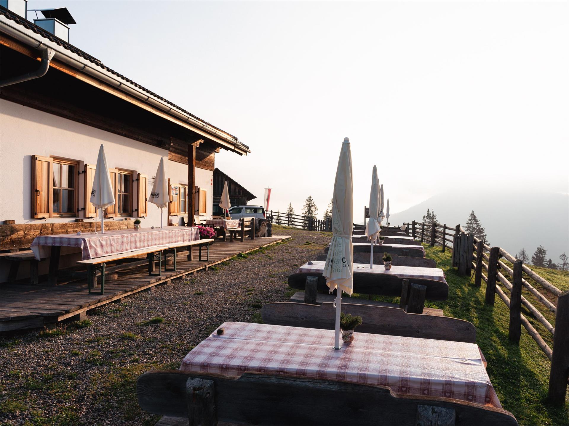
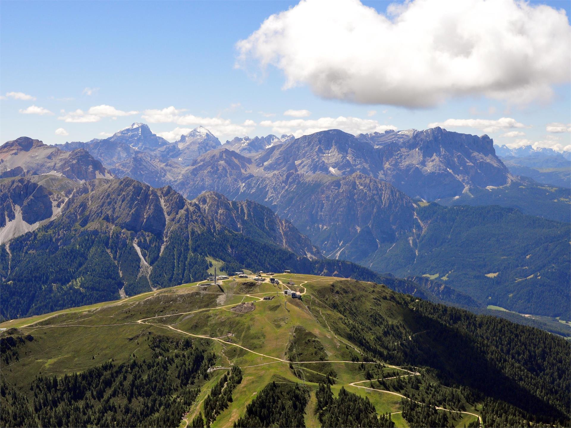
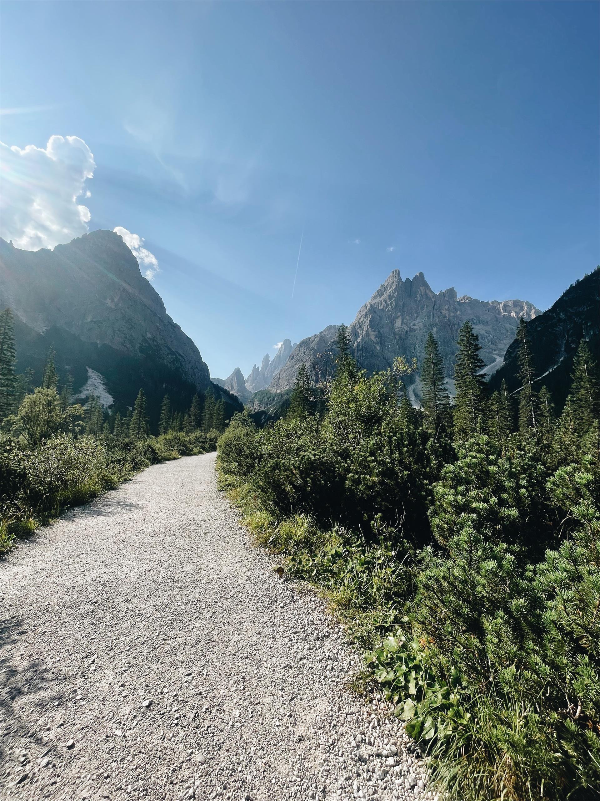
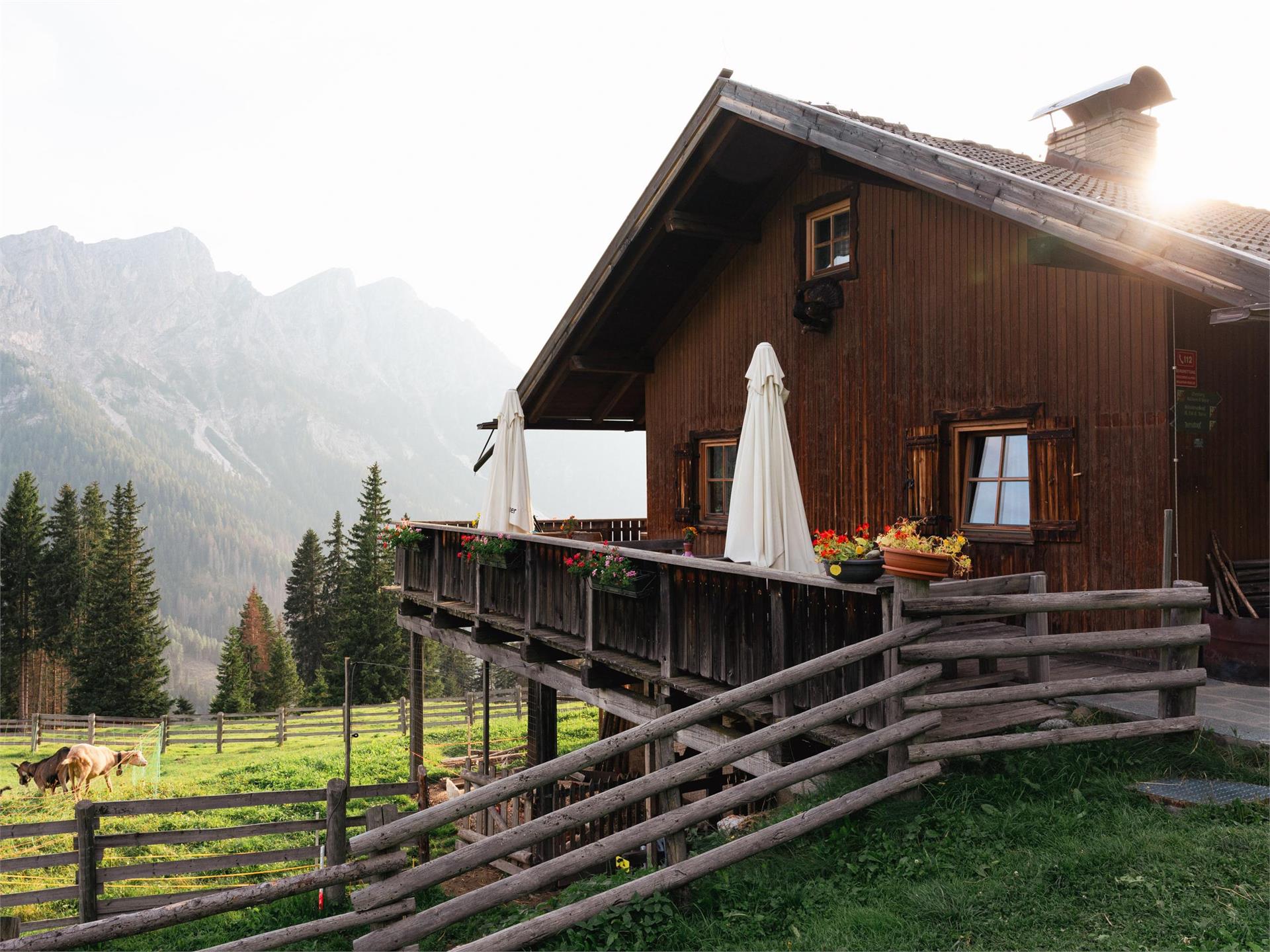
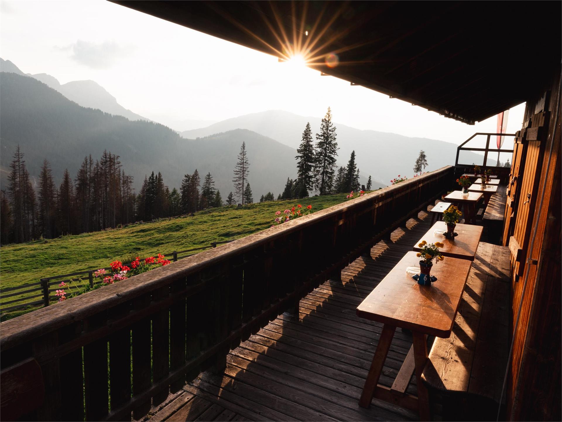
    The hike to Brunst Alm is a true gem for nature and hiking enthusiasts. The starting point is the Kids World, an idyllic playground that’s perfect for recharging before the ascent. From here, follow trail No. 20B, which leads you along well-marked paths and through dense forests. The hike takes about 2.5 hours and is a sporty challenge, as you’ll be gaining around 800 meters in elevation. Along the way, you’ll be treated to breathtaking views of the surrounding mountains and valleys of the Dolomites. It's especially enjoyable to take in the clear streams and unspoiled nature that make this route so special. After a steady climb, you’ll finally reach Brunst Alm, located at an altitude that offers sweeping views of the stunning landscape. Here, you can take a well-deserved break in the cozy hut and fully enjoy the tranquility of the mountains before heading back down.

    The hike to Brunst Alm is perfect for anyone looking for a challenging but rewarding trek in the heart of the Dolomites.

    Moeilijkheidsgraad: zwaar
    754 m Hoogtemeters
    2h:25 min Duur
    Hiking
    Mount Dura
    Rasen-Antholz/Rasun Anterselva, Dolomites Region Kronplatz/Plan de Corones

    From Antholz Niedertal (Bad Salomonsbrunn) > Walderhöfe > mark n. 31b or the forest road to the Hofstattalm (rest station) > Langeggalm (not open) > the path continues to the Durakopf peek.

    Moeilijkheidsgraad: gemiddeld
    1172 m Hoogtemeters
    3h:30 min Duur
    Hiking
    Hike to the Oberegger hut
    Olang/Valdaora, Dolomites Region Kronplatz/Plan de Corones

    The hike to Oberegger Alm is a wonderful experience for anyone looking to explore the beauty of the Dolomites on foot. There are two starting points for this hike: you can begin in Gassl or Geiselsberg. The path Nr. 3 brings you through picturesque landscapes with dense forests and wide meadows, offering stunning views of the surrounding mountain peaks. The hike is easily accessible and provides a relaxing way to enjoy nature. After a pleasant ascent, you’ll finally reach Oberegger Alm, situated on a beautiful plateau. Here, you can refresh yourself in the cozy hut with traditional South Tyrolean delicacies and soak in the peaceful atmosphere of the alm.

    For those who prefer a more convenient option, Oberegger Alm is also accessible by car. Whether you choose to hike or drive, the alm is the perfect place to enjoy a break in the midst of nature. Oberegger Alm is an ideal destination for hikers and nature lovers who want to experience an easily accessible yet idyllic mountain retreat in the Dolomites.

    Moeilijkheidsgraad: gemakkelijk
    393 m Hoogtemeters
    1h:15 min Duur
    Hiking
    Ausserweger Hütte - Staller Alm
    Rasen-Antholz/Rasun Anterselva, Dolomites Region Kronplatz/Plan de Corones

    Park your car on the top of the Staller Saddle (2.050 m) > path n. 113 > Lake Obersee > Ausserweger Hütte.

    Alternatively from Lake Antholz > trail no. 11 > Staller Saddle > Obersee > Außerweger Hütte.

    Moeilijkheidsgraad: gemakkelijk
    22 m Hoogtemeters
    0h:45 min Duur
    Hiking
    Winter hike Gassl
    Olang/Valdaora, Dolomites Region Kronplatz/Plan de Corones
    This easy 20-minute walk takes you from Mittermühlbacherhof to the Kronplatz valley station. The path winds through snowy fields, with the impressive Kronplatz peak always in sight. You can easily reach the starting point with Citybus 435.2 or Skibuses 21 and 22, which will also bring you back to the village center.
    Moeilijkheidsgraad: gemakkelijk
    24 m Hoogtemeters
    0h:16 min Duur
    Hiking
    Urig Trail
    Rasen-Antholz/Rasun Anterselva, Dolomites Region Kronplatz/Plan de Corones

    From Antholz Mittertal (camping side) > trail no. 1 > Müller crucifix > trail no. 9 > on an old military road in well laid out hairpin bends to the Grübl Hut (not managed) > Urig Trail (no. 9a), passing the river Plötzlbach, back into the valley until Antholz Obertal > trail no. 1 back to Antholz Mittertal.

    Moeilijkheidsgraad: gemiddeld
    1050 m Hoogtemeters
    4h:01 min Duur
    Hiking
    Hinterpasslerhütte - Staller Alm
    Rasen-Antholz/Rasun Anterselva, Dolomites Region Kronplatz/Plan de Corones

    Park your car on the top of the Staller Saddle (2.050 m) > path n. 113 > Lake Obersee > Hinterpasslerhütte.

    Alternatively from Lake Antholz > trail no. 11 > Staller Saddle > Obersee > Hinterpasslerhütte.

    Moeilijkheidsgraad: gemakkelijk
    22 m Hoogtemeters
    0h:45 min Duur
    Hiking
    Family hike to the "Reiner" waterfalls
    Sand in Taufers/Campo Tures, Dolomites Region Kronplatz/Plan de Corones

    The hike to the waterfalls in Rein in Taufers starts at the "Winkel-Wasserfallbar" parking lot and leads to a breathtaking natural spectacle in about 20 minutes. Along the way, you ascend approximately 50 meters in elevation and are rewarded with a stunning view of the roaring waterfalls. The waterfall trail is short and easy to walk, making it perfect for a spontaneous nature outing. The refreshing mist and the power of the water provide an unforgettable experience for all nature lovers.

    Moeilijkheidsgraad: gemakkelijk
    39 m Hoogtemeters
    0h:15 min Duur
    Hiking
    Klammbach waterfall
    Rasen-Antholz/Rasun Anterselva, Dolomites Region Kronplatz/Plan de Corones
    From Antholz Mittertal (sport area) > Eggerhöfe > turn left > foresty road n. 3/12. You will find the Klammbach waterfall below the Bergeralm.
    Moeilijkheidsgraad: gemakkelijk
    253 m Hoogtemeters
    0h:40 min Duur
    Hiking
    Hochrautalm Hut
    Rasen-Antholz/Rasun Anterselva, Dolomites Region Kronplatz/Plan de Corones

    From Oberrasen: parking spot > Oberstallerhof > on the bar follow the mark n. 5 > Hochrautalm hut.

    From Restaurant Mudler: mark n. 31 > Mudler See (pond) > mark n. 5 (possibility of a shortcut marking no. 5C) > Hochrautalm hut.

    Tip: Very rewarding the climb to the Lutterkopf as well (2,145 m). 

    Moeilijkheidsgraad: gemiddeld
    544 m Hoogtemeters
    1h:45 min Duur
    Hiking
    Hiking to the Rauter Farms (Redensberg)
    Rasen-Antholz/Rasun Anterselva, Dolomites Region Kronplatz/Plan de Corones

    From Niederrasen (Linde) > path n. 8 (steep) > Rauterhöfe > turn left on path n. 22 or passing the farm on the right following the panorama path > Redensbergerhöfe > paved raod n. 4 > Pfaffingerhöfe > Niederrasen.

    Moeilijkheidsgraad: gemiddeld
    391 m Hoogtemeters
    2h:15 min Duur
    Hiking
    Hike to the Lanzwiesen hut
    Olang/Valdaora, Dolomites Region Kronplatz/Plan de Corones

    The hike to Lanzwiesen Alm begins at the parking lot near Pizzeria Panorama in Oberolang and promises a true nature experience in the Dolomites. About 100 meters from the parking lot, trail No. 7 begins, which you’ll follow for approximately 2 hours and 15 minutes. The path takes you through picturesque landscapes, past dense forests and blooming alpine meadows, offering stunning views of the surrounding mountains. After a moderate ascent, you’ll reach Lanzwiesen Alm, a charming hut nestled in an idyllic setting. Here, you can take a well-deserved break and enjoy the peace and beauty of nature. From Lanzwiesen Alm, you have two attractive options to continue your hike: you can extend your trek to Brunst Alm, or you can choose to descend to Angerer Alm, where you can also take a pleasant break. Both options offer further wonderful views and encounters with nature, making this hike so special. The hike to Lanzwiesen Alm is ideal for anyone looking for a varied trek in the breathtaking landscape of the Dolomites.

    Moeilijkheidsgraad: gemiddeld
    751 m Hoogtemeters
    2h:40 min Duur
    Hiking
    Panoramic walking tour: Niederrasen - Redensberg - Raut
    Rasen-Antholz/Rasun Anterselva, Dolomites Region Kronplatz/Plan de Corones

    From Niederrasen > Pfaffingerhöfe > Burgfriedenhof > path n. 4 > Redensberg > mark n. 22 > "Schweinberg" > Rauterhöfe > descent on path n. 8 to Niederrasen or following mark n. 22 to Neunhäusern > Camping Corones > Niederrasen.

    Moeilijkheidsgraad: gemiddeld
    426 m Hoogtemeters
    3h:00 min Duur
    Hiking
    Winter hike Seefelder
    Olang/Valdaora, Dolomites Region Kronplatz/Plan de Corones

    Treat yourself to a pleasant 30-minute walk through the fields and meadows of Oberolang. The Citybus 435.1 conveniently takes you to the center of Oberolang. About 300 meters from the cemetery, you'll find the starting point of the walk. The path is approximately 1.7 km long and leads you back to the Oberolang district, where you can either walk or take the Citybus back to your accommodation.

    Moeilijkheidsgraad: gemakkelijk
    5 m Hoogtemeters
    0h:25 min Duur
    Hiking
    Winter hike - circular route Oberolang
    Olang/Valdaora, Dolomites Region Kronplatz/Plan de Corones
    Treat yourself to a relaxing 30-minute walk through the picturesque fields and meadows of Oberolang. The Citybus 435.1 easily takes you to the center of Oberolang. Just 300 meters from the cemetery, you'll find the entrance to this charming walk. The path stretches for about 1.7 km and leads you back to the Oberolang district, where you can either stroll back or take the Citybus to your accommodation.
    Moeilijkheidsgraad: gemakkelijk
    62 m Hoogtemeters
    0h:39 min Duur
    Hiking
    Hiking Trail Concordia 360°
    Olang/Valdaora, Dolomites Region Kronplatz/Plan de Corones

    The Concordia circular trail on Kronplatz is a perfect hike for the whole family. The trail loops around the summit plateau of Kronplatz, offering breathtaking views of the surrounding Dolomites and the Alps. The well-maintained path is easy to walk and takes about an hour. Along the way, there are plenty of opportunities to admire the stunning mountain scenery and enjoy the fresh alpine air. This hike is particularly popular with families, as it involves no significant elevation changes and is kid-friendly. A highlight of this tour is the visit to the Messner Mountain Museum Corones, which is located directly along the trail.

    Moeilijkheidsgraad: gemakkelijk
    58 m Hoogtemeters
    0h:37 min Duur
    Hiking
    Grentealm Messnerwirt
    Rasen-Antholz/Rasun Anterselva, Dolomites Region Kronplatz/Plan de Corones

    From Antholz Niedertal> at the curch turn left > edge of the woods > Maierhöfe (Pfaffingerhof) > mark n. 6 > Grentealm.

    From Antholz Mittertal > Ausserweger sawmill > turn right > at the parking area follow path n. 6 (steep path) > or follow the foresty street > Grentealm.

    Tipp: Climb to the Grente cross 2.250 m. Here you can descend on the path n. 6b to the Ochsenalm. Or from the Grentealm > path n. 6a > Kumplalm.

    Moeilijkheidsgraad: zwaar
    904 m Hoogtemeters
    2h:45 min Duur
    Hiking
    Family hike to the "Mühlbacher Badl"
    Terenten/Terento, Dolomites Region Kronplatz/Plan de Corones

    The hike to Mühlbacher Badl starts at the Mühlbachtal parking lot and follows trail no. 2. The leisurely walk takes about 30 minutes and leads through the picturesque Mühlbachtal, accompanied by the soothing sound of the stream. At the end of the trail, you reach Mühlbacher Badl, a charming spot perfect for relaxing and unwinding. This short but rewarding hike is ideal for those who enjoy nature and tranquility.

    Moeilijkheidsgraad: gemakkelijk
    103 m Hoogtemeters
    0h:22 min Duur
    Hiking
    Kumpflalm Hut
    Rasen-Antholz/Rasun Anterselva, Dolomites Region Kronplatz/Plan de Corones

    From Antholz Mittertal (sports area) > to the Eggerhöfe > turn left > follow the foresty road (path n. 6a) > Kumpflalm.

    Moeilijkheidsgraad: gemakkelijk
    396 m Hoogtemeters
    1h:16 min Duur
    Hiking
    Plan de Corones > Malga Oberegger > Casola
    Olang/Valdaora, Dolomites Region Kronplatz/Plan de Corones

    This very rewarding hike dotted with breath-taking views from the peak of Mount Kronplatzrequires a certain amount of stamina: Although the trail is not a particularly difficult one, it runs along a relatively long route.

    Moeilijkheidsgraad: gemiddeld
    0 m Hoogtemeters
    2h:30 min Duur
    Hiking
    Walk in Oberolang
    Welsberg-Taisten/Monguelfo-Tesido, Dolomites Region Kronplatz/Plan de Corones

    The walk in Oberolang along Sallastraße and Bödenstraße is a family-friendly route that takes about 1 hour and 20 minutes. Starting at the cemetery in Oberolang, this leisurely walk guides you through the beautiful surrounding landscape. The path offers stunning views of the surrounding mountains and nature, making it perfect for a relaxed family outing. The trail is easy to walk and provides many opportunities to enjoy the peaceful environment along the way.

    Moeilijkheidsgraad: gemakkelijk
    188 m Hoogtemeters
    1h:07 min Duur
    Hiking
    Family hike to the "Talschlusshütte" in the Fischlein Valley
    Sexten/Sesto, Dolomites Region Kronplatz/Plan de Corones

    The hike to the Talschlusshütte in Fischleintal starts at the Rotwand parking lot and follows trail no. 102. In about an hour, you will reach the hut, gaining approximately 170 meters in elevation. The trail leads through the beautiful Fischleintal, surrounded by the towering peaks of the Dolomites. The hike is family-friendly and offers plenty of opportunities to enjoy the stunning natural surroundings. Upon reaching the Talschlusshütte, you can enjoy local specialties and take in the breathtaking views of the surrounding mountain landscape.

    Moeilijkheidsgraad: gemakkelijk
    173 m Hoogtemeters
    1h:10 min Duur
    Hiking
    Winter hike Salla
    Olang/Valdaora, Dolomites Region Kronplatz/Plan de Corones

    The winter hike "Salla" starts in Oberolang at Bödenstraße. You can take the Citybus 435.1 to Oberolang and get off at the Dorfstraße stop. After a short 150-meter walk, you’ll reach Bödenstraße. The hike is about 4 km long, passing by the Kinderwelt and winding through snowy meadows, fields, and forests of Oberolang, heading towards Welsberg. After around 1.5 hours, you’ll reach the end of the trail, and the return follows the same route.

    Moeilijkheidsgraad: gemiddeld
    262 m Hoogtemeters
    1h:16 min Duur
    Hiking
    Walk Olang - Welsberg
    Olang/Valdaora, Dolomites Region Kronplatz/Plan de Corones

    The walk from Olang to Welsberg follows the picturesque bike path along the Olanger reservoir. This pleasant route takes about 1.5 hours and offers beautiful views of the lake and the surrounding mountain scenery. The path is well-maintained and suitable for both walkers and cyclists. The peaceful surroundings and fresh air make this walk a relaxing experience for the whole family.

    Moeilijkheidsgraad: gemakkelijk
    65 m Hoogtemeters
    1h:34 min Duur
    Hiking
    Hike to the Lorenzi hut
    Olang/Valdaora, Dolomites Region Kronplatz/Plan de Corones

    The hike to Lorenzi Hütte is a great opportunity to experience the breathtaking beauty of the Dolomites. You can reach the hut on foot either from Gassl or Geiselsberg. Path Nr. 3 leads you through a stunning alpine landscape, passing lush meadows and shaded forests as you steadily make your way to the destination. The hike is well-marked and suitable for both experienced hikers and families. Along the way, you’ll enjoy impressive views of the surrounding peaks and the idyllic scenery. After a moderate ascent, you’ll finally arrive at Lorenzi Hütte, located on a beautiful plateau. Here, you can take a well-deserved break and enjoy the delicious regional specialties served in the cozy hut. The peaceful setting and fresh mountain air make this a perfect retreat to relax and rejuvenate. For those who prefer a more convenient option or have less time, Lorenzi Hütte is also accessible by car. Whether you choose to hike or drive, Lorenzi Hütte offers an ideal starting point to enjoy nature and spend a relaxing day in the mountains.

    Moeilijkheidsgraad: gemiddeld
    512 m Hoogtemeters
    1h:38 min Duur
    Hiking
    Dolomites panoramic view tour
    Rasen-Antholz/Rasun Anterselva, Dolomites Region Kronplatz/Plan de Corones

    From Niederrasen (church) > path n. 21 (steep) > Obergoste > Feichter und Breitwiesenhof > Kirmlehof (approx. 10 min. further above Berggasthaus Mudler) > descend on mark n. 20 > path Imberg > Oberstallerhöfe > Niederrasen or Oberrasen.

    Moeilijkheidsgraad: gemiddeld
    555 m Hoogtemeters
    2h:58 min Duur
    Hiking
    Kumpflalm Hut (path)
    Rasen-Antholz/Rasun Anterselva, Dolomites Region Kronplatz/Plan de Corones

    From the village center Antholz Mittertal (passing the police station) > going up at the Amus Chalets > farm Außerkumpflhof > follow the path to the Kumpflalm hut.

    Moeilijkheidsgraad: gemakkelijk
    366 m Hoogtemeters
    1h:04 min Duur
    Hiking
    Mittertaler Ochsenalm Hut
    Rasen-Antholz/Rasun Anterselva, Dolomites Region Kronplatz/Plan de Corones

    From Antholz Mittertal (sports area) > Eggerhöfe > follow mark n. 6a to Kumpflalm > forest road n. 6b > cross the Wanzlstream > on a quite steep path to the Ochsenalm (not administered as rest stop). 

    Moeilijkheidsgraad: gemiddeld
    811 m Hoogtemeters
    2h:30 min Duur
    Hiking
    Panoramic path Concordia 360°
    Bruneck/Brunico, Dolomites Region Kronplatz/Plan de Corones
    The Concordia 360° panoramic trail is ideal for families with children (also suitable for strollers). At and around the summit of Plan de Corones you will find various attractions that will captivate young and old. The MMM Corones, the LUMEN Museum, the Peace Bell Concordia 2000 with its panoramic relief of the surrounding mountains, the giant swing Skyskraper, various children's activities and much more await you along the circular path!


    The 360° hike pays tribute to these grand vistas by directing the eye to the unique geological features of the surroundings: the Dolomites in the south and the main ridge of the Central Alps to the north. The trail is dotted with viewpoints designed and skilfully staged by local artist Helmut Pizzinini, highlighting the jaw-dropping uniqueness of the landscape.
    Moeilijkheidsgraad: gemakkelijk
    75 m Hoogtemeters
    0h:40 min Duur
    1 2 3 4 5 6 7