Ga meteen naar de inhoud

toegevoegd aan favorieten

verwijderd uit favorieten

Helaas is er een probleem opgetreden. Probeer het opnieuw.

Uw account wordt aangemaakt

Je account is succesvol aangemaakt en je bent nu ingelogd

U bent succesvol ingelogd!

Uw account is succesvol aangemaakt, maar we konden u niet automatisch aanmelden

U bent uitgelogd

Filteren
Geselecteerde filters
    Moeilijkheidsgraad
    Duur
    Afstand in km

    Wandelingen & bergtochten in de Dolomietenregio Kronplatz

    De natuur is een geschenk dat je het beste te voet kunt ervaren. In de Zuid-Tiroolse lente ontdek je de ontwakende natuur in het dal en op bloeiende alpenweiden. In de zomer trekken koele bergtoppen, gezellige berghutten en hooggelegen wandelroutes je de bergen in. Herfstwandelingen bieden adembenemende vergezichten en een landschap vol warme kleuren.

    Resultaten
    Themed Hikes
    Hiking tour to the Earth pyramides
    Percha/Perca, Dolomites Region Kronplatz/Plan de Corones

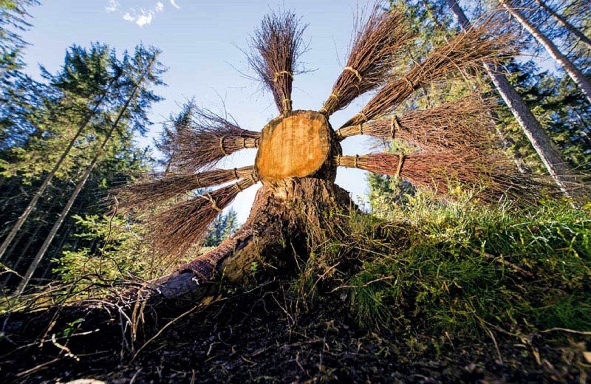
    The walk to the earth pyramids of Plata is suitable for families and leads to a unique attraction in the Dolomites. 

    Moeilijkheidsgraad: gemakkelijk
    152 m Hoogtemeters
    1h:30 min Duur
    Snowshoe Hikes
    Snowshoe hike Angerer hut - Lanzwiesen hut
    Olang/Valdaora, Dolomites Region Kronplatz/Plan de Corones

    The snowshoe hike from the Angerer Alm to the Lanzwiesen Alm along trail No. 6 is a true winter adventure. The path leads you through snowy forests and gentle hills, allowing you to enjoy the peaceful atmosphere of the winter landscape. Starting at the Angerer Alm, you follow the well-marked trail that takes you to the picturesque Lanzwiesen Alm in about 1.5 hours. Once there, you can take a well-deserved break and admire the pristine nature of the Dolomites. The hike is perfect for snowshoe hikers of all levels and offers stunning views of the surrounding mountains.

    Moeilijkheidsgraad: gemiddeld
    472 m Hoogtemeters
    1h:18 min Duur
    Hiking
    Niederrasen - Oberstall - Oberrasen
    Rasen-Antholz/Rasun Anterselva, Dolomites Region Kronplatz/Plan de Corones

    From Niederrasen > passing the church > continue on the asphaltic road on the edge of the woods (mark n. 20) > Oberstallerhöfe > path of return following mark n. 5 > Oberrasen. 

    Moeilijkheidsgraad: gemiddeld
    166 m Hoogtemeters
    1h:00 min Duur
    Hiking
    Winter walk: San Vigilio - Passo Furcia
    Al Plan/San Vigilio, Dolomites Region Kronplatz/Plan de Corones

    Walk past the Miara cable car station and follow the road up to the Hotel Restaurant Spaces and on to the hamlet Rara. Turn right onto forest path no. 1 which will take you to Passo Furcia, where a number of inns offer food and drinks. We suggest the same route for your return journey.

    Moeilijkheidsgraad: gemakkelijk
    534 m Hoogtemeters
    1h:58 min Duur
    Hiking
    Family hike Valdaora di Sopra - Malga Angerer/Oberolang - Angerer Alm
    Olang/Valdaora, Dolomites Region Kronplatz/Plan de Corones

    From the parking lot of the sports zone Panorama (Valdaora di Sopra) you go to the pathn6A according to the houses Riedler (1,172 m). Continue on route 6A bit steep up through the forest to the Angerer Alm (1,401 m). Return: From the hut on the access road down until you come to Route 22 and back to the starting point.

    Moeilijkheidsgraad: gemiddeld
    304 m Hoogtemeters
    1h:58 min Duur
    Hiking
    Winter walk: San Vigilio - Sarjei
    Al Plan/San Vigilio, Dolomites Region Kronplatz/Plan de Corones

    Setting off from Hotel Les Alpes, follow the trail until you reach Sarjëi (food and drinks available at Agriturismo Soleseid).

    Moeilijkheidsgraad: gemakkelijk
    248 m Hoogtemeters
    0h:54 min Duur
    Hiking
    Hiking Tour Valdaora/Olang
    Olang/Valdaora, Dolomites Region Kronplatz/Plan de Corones

    The tour is a beautiful hike above Valdaora-Olang with fantastic views. The tour starts near the Panorama restaurant in Valdaora di Sopra-Oberolang and it goes on the road no. 6 in a constant pitch for "Angerer Albl" and from there to Lanzwiesen Alm mountain hut. Both cottages are managed in the summer and invite you to a traditional specialties. From here then start the scale path (Almsteig) above the treeline to Brunst mountain hut. When you arrive at Brunst hut, which is also farmed in the summer, you stay on the trail 20 and returns to Valdaora di Sopra back to the starting point.

    Moeilijkheidsgraad: gemiddeld
    1207 m Hoogtemeters
    5h:17 min Duur
    Hiking
    Winter hike to Plan de Corones/Kronplatz
    Al Plan/San Vigilio, Dolomites Region Kronplatz/Plan de Corones

    This trail is fascinating even without skis – just get yourself a cable car return ticket to the top of Mount Kronplatz. The view from up there is simply breath-taking! From the impressive Concordia bell, marvel at the 360° peak relief depicting the mountains surrounding Kronplatz and gaze out into the fascinating Alpine panorama.

    Moeilijkheidsgraad: gemakkelijk
    1109 m Hoogtemeters
    3h:28 min Duur
    Hiking
    Winter panorama trail - Kronplatz
    Al Plan/San Vigilio, Dolomites Region Kronplatz/Plan de Corones

    From the Ruis cable car peak station (2275 m) at the top of Mount Kronplatz, turn left in the direction of the race track. Walk along the beaten track until you reach a lookout point with a cross, offering a stunning view onto the Dolomites and the three villages of Marebbe: San Vigilio, Pieve Marebbe and Rina. If you keep walking, the trail will take you to the Graziani inn (2080 m). For the return journey, follow the same route as the outward journey.

    Moeilijkheidsgraad: gemakkelijk
    5 m Hoogtemeters
    0h:45 min Duur
    Hiking
    Culture and landscapes
    Kiens/Chienes, Dolomites Region Kronplatz/Plan de Corones

    Culture and landscapes

    Following the Rio Verde/Grünbach stream, this pleasant hike runs through a narrow gorge all the way up to Schöneck Castle, which towers proudly upon a rock protrusion. Not far from the castle, an extremely unusual columnar crown spruce "snakes" its way towards the skies – a tree so rare that this specimen has long been declared a natural monument. From the castle mound, an ancient pilgrims' trail takes the hiker to the small Gothic church of Hasenried, where a spring sanctuary is said to have once provided relief for pilgrims suffering from eye complaints. The route then continues on to Falzes/Pfalzen along the Pfaffensteig trail, passing through a rural landscape dotted with old stone walls, which offer a natural roadside barrier and a tempting spot for a quiet moment to catch your breath in a peaceful and utterly picturesque setting. They are a pretty reminder of the ancient skills and traditions formerly practiced in the many local stone masonry workshops, some of which can still be found in Falzes/Pfalzen, where granite is skillfully sculpted into works of art.
    From the village center, hike past the sports grounds and follow the trail towards Irenberg and Lake Issengo/Issing. This small yet idyllic lake is a true paradise for nature lovers and an ideal place for a longer break. Just off the lake shores, the herb gardens of the Bergila Mountain Pine Oil Distillery are yet another natural gem, and the last leg of the route rewards its hikers with a scented spot in the shade, perfect for cooling down your weary feet in the Rio Verde/Grünbach stream.
    Stop at for a break at Gasthof Schöneck, Seegasthaus Issinger Weiher, or Gasthof Irenberg.

    Moeilijkheidsgraad: gemiddeld
    341 m Hoogtemeters
    3h:27 min Duur
    Hiking
    Tales and stories of Mount Kienberg
    Kiens/Chienes, Dolomites Region Kronplatz/Plan de Corones

    Tales and stories of Mount Kienberg

     With its 1222 m, Mount Kienberg stands out from its surroundings like an island. A plutonic rock formed during the creation of the Alps, it emerged from the heart of the earth only to be smoothed down by passing glaciers over the course of countless years. Today, Kienberg is a broad, rotund ridge shrouded in legends: The hike along the Kienberg trail from Casteldarne/Ehrenburg to Mantana/Montal runs past the Plattnerhof farm. Legend has it that once upon a time, it was the home of a stone-hearted man. One day, the farmer chased away a hungry beggar with nothing but insults and threats, upon which the beggar cursed the mountain, making all its springs run dry.
    After a short break at the hamlet of Mantana/Montal, the hike runs back to Casteldarne/Ehrenburg along an old trail depicting the Stations of the Cross. Every year, pilgrims from Predoi/Prettau in the Aurina/Ahrntal valley flock here to ask the Madonna of the Grains to bless their home and livestock and to grant their fields favorable weather.
    The highest point of the ridge is 1222 m above sea-level. This hike is ideal for those who love quiet trails far from the beaten track. Stop for a break at Gasthof Alpenrose (Mantana/Montal), Hofschenke Lerchner's (Ronchi/Runggen), or Gasthof Obermair.

    Moeilijkheidsgraad: gemakkelijk
    417 m Hoogtemeters
    3h:28 min Duur
    Hiking
    Winter hike to Medalghes
    Al Plan/San Vigilio, Dolomites Region Kronplatz/Plan de Corones

    From the Pares car park, take the forest road no. 5, 5A which leads gently uphill through the woods and on to the Medalghes pastures.

    Moeilijkheidsgraad: gemiddeld
    769 m Hoogtemeters
    2h:43 min Duur
    Hiking
    Trattes tour
    Olang/Valdaora, Dolomites Region Kronplatz/Plan de Corones

    Inn Bad Bergfall hiking trail nr. 3 Inn Trattes hiking trail nr. 4a hiking trail nr. 4

    Moeilijkheidsgraad: gemiddeld
    305 m Hoogtemeters
    1h:07 min Duur
    Hiking
    Plan de Corones > Passo Furcia
    Al Plan/San Vigilio, Dolomites Region Kronplatz/Plan de Corones

    Medium-difficult hike with marvellous views from the peak out onto the surrounding mountains.

    Moeilijkheidsgraad: gemakkelijk
    5 m Hoogtemeters
    1h:30 min Duur
    Hiking
    Hike Bad Bergfall - Furkelpass/Passo Furcia
    Al Plan/San Vigilio, Dolomites Region Kronplatz/Plan de Corones

    Starting from Bad Bergfall (accessible with the trekking bus n. 435.2) via hiking trail n. 4, then n. 4A to the Trattes mountain restaurant and then continue on hiking trail n. 3 to the Furkelpass.

    Moeilijkheidsgraad: gemakkelijk
    455 m Hoogtemeters
    1h:37 min Duur
    Hiking
    Following in the tracks of the ancient romans
    Kiens/Chienes, Dolomites Region Kronplatz/Plan de Corones

    A walk through history


    More than 2000 years ago, the Puster Valley was under the administrative control of the Roman Empire. Today you can still discover evidence of the early history of the Noricum province, which was once part of the Great Celtic kingdom, in parts of Ehrenburg/Casteldare and the nearby settlement area of St. Lorenzen/San Lorenzo.

    An attractive and leisurely circular walk between the southern center of Kiens/Chienes and the western landscape area of Ehrenburg/Casteldarne offers insights into the history of the Romans. The importance of travelling and the role of the rest stops around Kiens/Chienes are presented in an exciting way at various rest points, with information’s about the Romans, to bring the past to life.

    One of the best-preserved milestones from Roman times is a two-meter-high column sculpted from quartz phyllite. The Roman stone was erected during the reign of the Roman Emperor Lucius Septinus Severus and shows the distance to the Roman town of Aguntum near Lienz in East Tyrol further to the east.

    Also worth seeing (only from the outside) is the historic Ehrenburg castle, which was built in 1250, and the nearby baroque parish church of the Assumption of the Virgin Mary. The beautiful wooden fences and the old dry-stone walls in Ehrenburg/Casteldarne are also particularly attractive. Refreshment stops to take a well-deserved break at: Bar Restaurant Obermair in Ehrenburg/Casteldarne and Riverhotel Post in Kiens/Chienes.

    Moeilijkheidsgraad: gemakkelijk
    50 m Hoogtemeters
    1h:30 min Duur
    Snowshoe Hikes
    Snowshoe hike Baths "Bagni di Pervalle" - Mountain Inn Trattes
    Olang/Valdaora, Dolomites Region Kronplatz/Plan de Corones

    Easy snowshoe hike from the Hotel Bad Bergfall in direction Inn Trattes.

    We park in front of the Inn Bad Bergfall and start our walk along the brook on a forest road, signposted with the number 3, slightly uphill. After about half an hour we reach the sulfur source. We cross the brook, after a rocky bottleneck the path turns to the right and goes across fields to the mountain inn Trattes, which is located in a beautiful viewpoint not far from the road to the Furkelpass.

    The way back is the same way.

    Moeilijkheidsgraad: gemiddeld
    270 m Hoogtemeters
    1h:37 min Duur
    Hiking
    Monghezzo/Getzenberg mountain farm hike
    Kiens/Chienes, Dolomites Region Kronplatz/Plan de Corones

    Traditions and a glimpse of times long gone

    The mountain farmsteads on the southern hillside of the Pusteria/Pustertal valley are a remnant of the times when the Romans began to settle in the area. Only a little is left of the ancient baths of Ilistra/Ilstern, to which the locals once flocked in search of the soothing medicinal effect of their spa waters. Not far off, a small chapel has successfully defied the centuries and can easily be reached on a meditation trail. But hiking along Monghezzo/Getzenberg also offers plenty of impressions of the hard life and labor of mountain farmers, and the ancient farmhouses are often named after the dwellers' special dedication: The Vögler farmstead, for example, recalls the old Tyrolean tradition of fowling, or bird-catching.
    Half-way up the route at 1112 m, the Jausenstation Hoferhof inn is a fine place for a break and some refreshments. A small, carefully restored chapel is all that is left of a hermitage, which is said to have been located not far from the Getzenbergerhof inn. The Kustoler-Hof farmstead was named after the Romance term for a fortified area, and the Roman milestone on the western edge of the hamlet Casteldarne/Ehrenburg is yet another witness of the ancient settlements in and around Chienes/Kiens.

    Moeilijkheidsgraad: gemiddeld
    600 m Hoogtemeters
    4h:30 min Duur
    Themed Hikes
    Collina del Miele/Honigbergweg
    Pfalzen/Falzes, Dolomites Region Kronplatz/Plan de Corones

    This adventure trail showcases the extraordinary interaction between nature and wildlife and invites you to relax and unwind.

    Moeilijkheidsgraad: gemiddeld
    422 m Hoogtemeters
    4h:00 min Duur
    Hiking
    Winter walk: San Vigilio - Tamersc - Pederü
    Al Plan/San Vigilio, Dolomites Region Kronplatz/Plan de Corones

    The stroll begins on Str. Fanes: Walk through the Pes-Pesc playground, then continue along the paved dirt road parallel to the cross-country skiing slope (pedestrians: please keep off the slope) until just before you reach the Ciamaor sports grounds. The forest trail will take you to Ciamaor (to the left of the football pitch). Having passed the Ciamaor bridge, keep left and continue along the picturesque trail until you get to Lé dla Creda. Continue along the main road until you reach the Tamersc fields and, after 3 km, the Pederü mountain inn.

    Moeilijkheidsgraad: gemakkelijk
    352 m Hoogtemeters
    6h:30 min Duur
    Hiking
    Winter hike to the Fanes pasture
    Al Plan/San Vigilio, Dolomites Region Kronplatz/Plan de Corones

    From Pederü, follow the road to the Fanes pastures.
    Our suggestion: Walk on to the Limo pass (15 minutes’ walking distance from the Fanes inn) to enjoy a breath-taking panoramic view out onto the “Fanes realm”.

    Moeilijkheidsgraad: gemiddeld
    540 m Hoogtemeters
    2h:01 min Duur
    Snowshoe Hikes
    Snowshoe hike: Lutterkopf - Durakopf
    Rasen-Antholz/Rasun Anterselva, Dolomites Region Kronplatz/Plan de Corones

    Mountain Restaurant Mudler > Lutterkopf > Durakopf > Taistner Hut

    Moeilijkheidsgraad: gemiddeld
    702 m Hoogtemeters
    3h:45 min Duur
    Hiking
    Family hike through the "LandArt" trail
    Pfalzen/Falzes, Dolomites Region Kronplatz/Plan de Corones

    The LandArt Trail in Pfalzen is a wonderful, family-friendly hike that starts at the Pfalzen sports zone. The circular trail takes about an hour and leads through a picturesque landscape adorned with artworks in nature. The art installations along the trail invite you to experience nature creatively and offer a special atmosphere that delights both adults and children. The trail is easy to walk and perfect for a relaxing outing with the whole family.

    Moeilijkheidsgraad: gemakkelijk
    36 m Hoogtemeters
    0h:37 min Duur
    1 2 3 4 5 6 7