Lakes, cascades
Martell/Martello, Vinschgau/Val Venosta
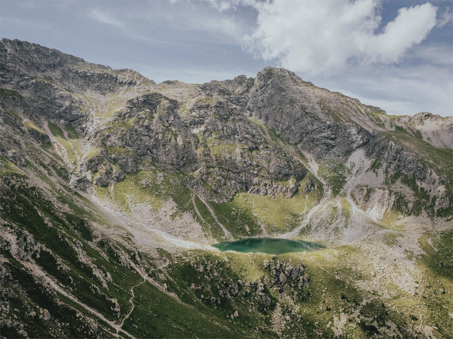
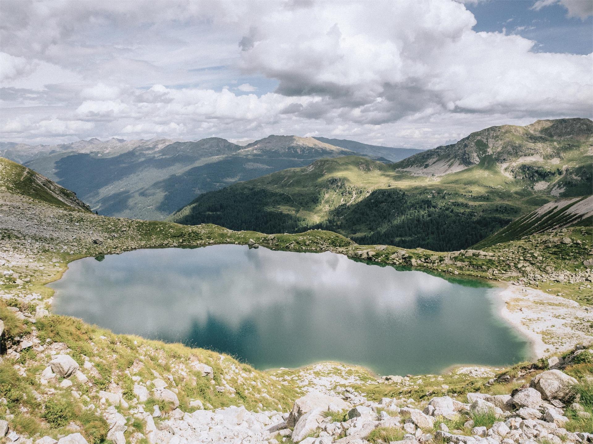
The mountain lake of Corzes/Kortsch is located in the traditional Schlandrauntal Valley, after the Schlanderser and Kortscher Alm alpine pastures. The Ötzisteig leads directly past the lake into the Schnalstal valley.