Dla dzieci już sama droga jest celem wycieczki. Ze spaceru wśród kwitnących jabłoni w okolicach Bolzano/Bozen, Meran/Merano albo Brixen/Bressanone, czy też niezapomnianego noclegu w schronisku w Dolomitach lub na Kronplatz, dorośli będą tak samo zadowoleni jak i dzieci.
Hiking
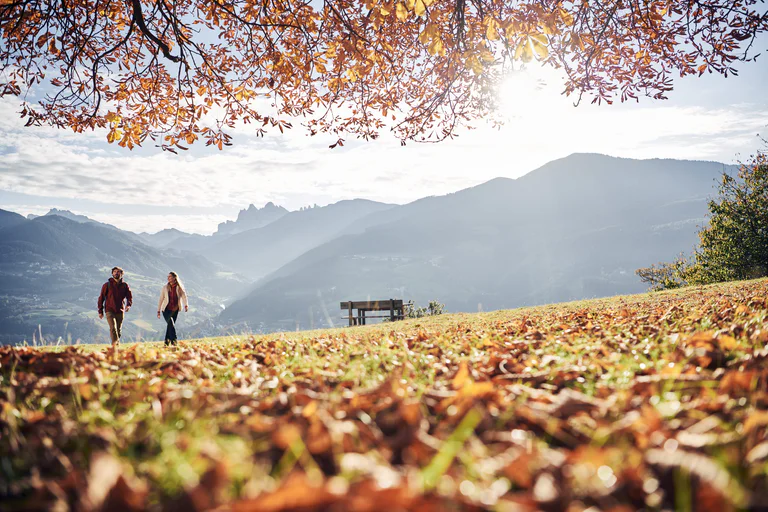
Welschnofen/Nova Levante, Dolomites Region Eggental
This leisurely family hike leads across the alpine meadows "Frin" from where you can enjoy a 360 degree mountain backdrop.