Passer au contenu

ajouté(e) aux favoris

supprimé(e) des favoris

Oups ! Une erreur s’est produite. Réessayer

Ton compte est en cours de création

Ton compte a été créé avec succès et tu es maintenant connecté

Tu es connecté!

Ton compte a été créé avec succès, mais nous n'avons pas pu te connecter automatiquement

Tu es déconnecté

Filtrer
Filtres sélectionnés
    Niveau de difficulté
    Durée
    Distance en km

    Marche nordique dans le Sud-Tyrol

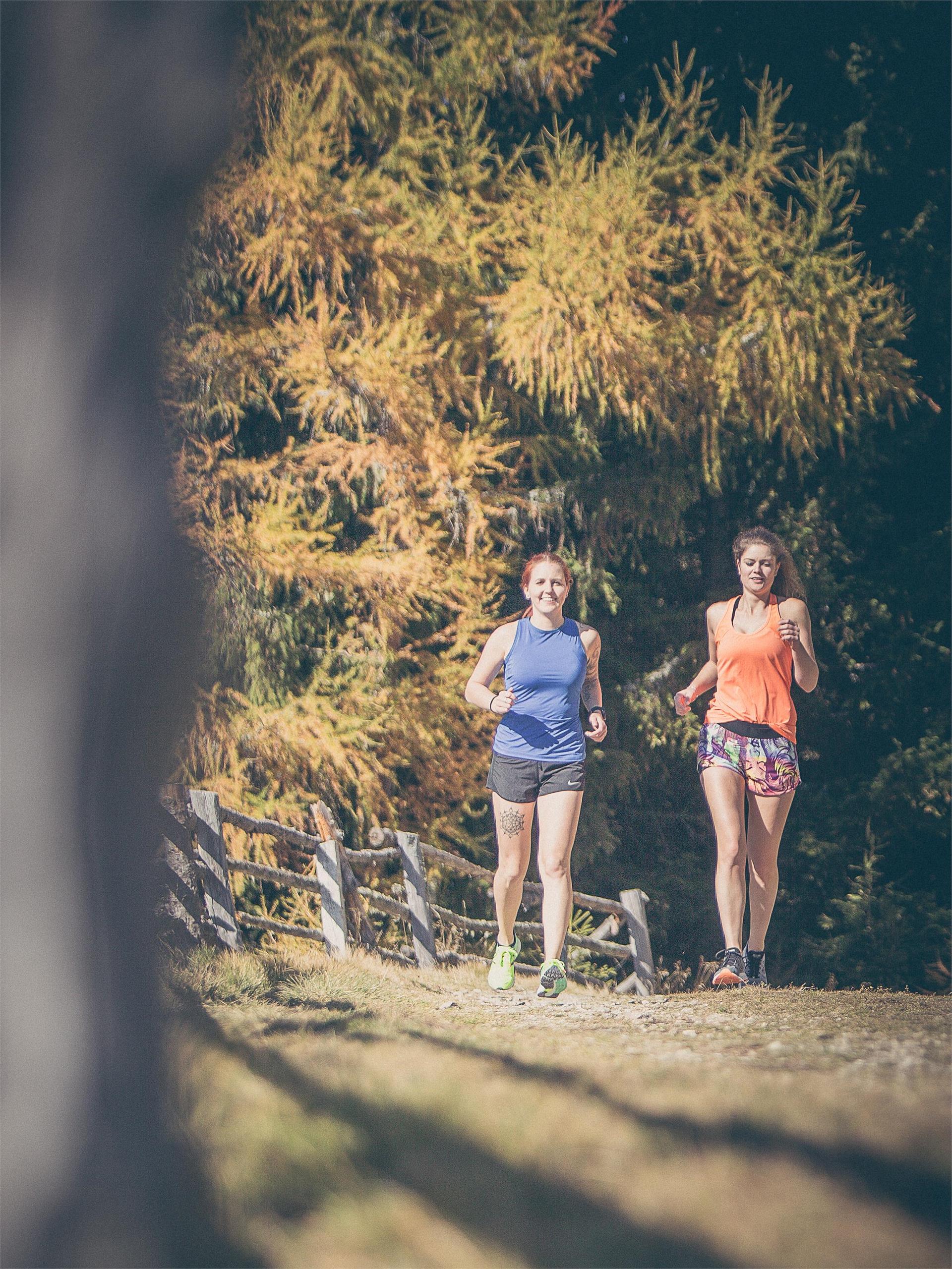
    Garde la forme - avec le nordic walking dans le Sud-Tyrol. Développée en Finlande, cette discipline sportive combine exercice physique et plaisir de la nature, soulage entre autres les tensions musculaires et améliore les performances cardio-vasculaires. Et pour ceux qui ne maîtrisent pas encore l'utilisation des bâtons, un professionnel est à leur disposition pendant leurs vacances dans le Sud-Tyrol, dans les parcs de nordic walking et lors des tours guidés. Pour tous les autres, plus de 2.000 kilomètres de chemins pour la marche nordique dans le Sud-Tyrol les attendent.

    Résultats
    Running and fitness
    Ortisei – S. Cristina circuit
    Urtijëi/Ortisei, Dolomites Region Val Gardena

    From the “Mar Dolomit” swimming pool in Ortisei we run along the stream into the valley and follow the no. 18 path, which leads us over the path no. 30B until just under Monte Pana, past the notable Tervela Waterfall. At the base station of the chair lift we turn right to Ruacia, take the Ruacia road uphill to the roundabout in the centre of S. Cristina and from there up the Cisles road until we turn left over the old railway back to Ortisei. Longer Variant: We run along path no. 18, which takes us through the wild romantic Jender Valley towards Saltria and over the path no. 30A to the Monte Pana high plateau.

    Difficulté : moyenne
    405 m altitude
    3h:27 min durée
    Running and fitness
    Around the lake San Valentino
    Graun im Vinschgau/Curon Venosta, Vinschgau/Val Venosta

    The lake Haidersee is a natural lake with a biotope areas, lead two boardwalks over which. Signs along the way describe the different bird and fish species in the region.
    Difficulté : facile
    0 m altitude
    0h:30 min durée
    Running and fitness
    To the Melager Alm alpine pasture
    Graun im Vinschgau/Curon Venosta, Vinschgau/Val Venosta
    The running trail from Melag to the Melager Alm in Langtaufers is a scenic route for running enthusiasts. The run starts at the parking lot in the hamlet of Melag. From the parking lot, you run into the valley and turn right between the houses. Signs 2 and 5 mark the path, which is also clearly visible without markings. With a gentle incline, you jog to the Karlinbach, cross the bridge, and continue on a flat path to the alm. At the valley's end, there are impressive views of the snow-capped peaks surrounding the Weißkugel, with numerous three-thousanders flanking the valley to the north and south. The return is via the same route.
    As an alternative for runners, starting from the hamlet of Kappl at the former valley station of the Maseben lift is recommended, where you can follow the forest road to the Melager Alm
    Difficulté : facile
    146 m altitude
    0h:40 min durée
    Running and fitness
    Around the lake Resia
    Graun im Vinschgau/Curon Venosta, Vinschgau/Val Venosta

    The round of the Reschensee is a special experience for hikers and runners. The wonderful views of the Ortler is unique. The tower in the lake completes the picture. He is the last witness of the sunken village of Graun which can live the story.

    Difficulté : moyenne
    0 m altitude
    1h:45 min durée
    Running and fitness
    Trail running Puez
    Sëlva/Selva, Dolomites Region Val Gardena
    The Puez circuit is an absolute treat for those who love long trail runs in alpine terrain. We go right at the entrance to the Vallunga, taking the path no. 12 through the Chedul Valley to Creispëina Pass. From the beginning, it’s quite steep, partially in steps, until the valley begins to open and becomes gentler and flatter. From Crespëina Pass we continue over the Dolomite High Path no. 2 to the Rifugio Puez, from there we continue to follow the High Path no. 2 until it diverges in path no. 16, which brings us back to Vallunga.
    Difficulté : difficile
    1146 m altitude
    5h:17 min durée
    Running and fitness
    Nordic Walking Tour 6: "Alter Kirchweg"
    Naturns/Naturno, Meran/Merano and environs

    This track connects the Nordic walking Route in the valley to paths on the slopes of the Sonnenberg mountain. Starting from the Nischlhof farm, the way leads along the Kirchbachgraben to Engelsburg and then up towards the Salten Kirchweg to Höfl and on upwards to the Unterstell farm at 1,300mt. You can then take the Unterstell/Naturno cable-car back to the valley. Please remember to check the cable-car timetable.

    Difficulté : moyenne
    762 m altitude
    1h:28 min durée
    Running and fitness
    Running route San Vigilio - Fodara Masaronn
    Al Plan/San Vigilio, Dolomites Region Kronplatz/Plan de Corones

    For all action and adventure passionate, the San Vigilio dolomites region is the place to be: mountain biking and hiking, Nordic-Walking or running are just some of the activities summer holidays in San Vigilio have to offer. From the village square via Valiares follow the trail called “Tres La Val” up to the “Spiaggetta Ciamaor” park. From there following the signs to “Tres La Val” and continue on the right side of the stream to Fodara Masaronn. One-way: 5 km

    Difficulté : moyenne
    224 m altitude
    3h:01 min durée
    Running and fitness
    Sassolungo circuit
    Sëlva/Selva, Dolomites Region Val Gardena
    This route circling the Sassolungo massif is a superlative trial run. The beautiful landscape and the breathtaking views will make you forget the physical exertion. The route runs mostly on a constant elevation between approx. 2,200 m and 2,300 m, so that you experience only small changes in elevation.
    Difficulté : difficile
    751 m altitude
    4h:52 min durée
    Running and fitness
    Sunny Loop in Meransen
    Mühlbach/Rio di Pusteria, Brixen/Bressanone and environs

    Experience the sunny and tranquil atmosphere of Meransen on this varied route. Medium difficulty with breathtaking views of the Pustertal and Eisacktal – perfect for runners with good fitness who love combining sport and nature.

    Difficulté : moyenne
    177 m altitude
    0h:49 min durée
    Running and fitness
    Ski World Cup Tour
    Sëlva/Selva, Dolomites Region Val Gardena
    We start in Selva at the “Kulturhaus Oswald von Wolkenstein” and follow path no. 30B in the direction of Monte Pana, where we also cross the Ciaslat meadow at the foot of the World Cup downhill route Saslong’s notorious “camel back”. Arriving at the Monte Pana road, we cross this and continue on the hiking trail to the next fork, there we bear right in the direction of S. Cristina and come by way of the Tervela Waterfall to the base station of the Monte Pana chair lift. Here we run directly towards Ruacia, right past the finish area of the Saslong downhill route, up the Ruacia road to the roundabout in the centre of S. Cristina and from there the Tieja Road uphill until we turn right on the old railway and head back to Selva.
    Difficulté : moyenne
    250 m altitude
    2h:17 min durée
    Running and fitness
    Saltaus Irrigation Channel Trail
    Meran/Merano, Meran/Merano and environs

    From the parking lot of the Hirzer cable car station in Saltaus, the way leads down to the Passer causeway and continues to the Torgglerhof Apple Hotel. From there, the trail alongside the old irrigation channel leads up to Schenna – or, after the Waaler hut, in the direction of Riffian and Meran. After about 1.5 hours you reach Meran, from where you can easily take the bus back to Saltaus. Total length: 10 km

    Difficulté : facile
    14 m altitude
    1h:00 min durée
    Running and fitness
    Your Running Adventure to Jochtal
    Mühlbach/Rio di Pusteria, Brixen/Bressanone and environs

    Discover the breathtaking landscape around Spinges and Jochtal! This challenging running trail combines a sporty challenge with extraordinary natural experiences – perfect for adventure lovers.

    Difficulté : difficile
    519 m altitude
    1h:00 min durée
    Running and fitness
    To the Rescher Alm alpine pasture
    Graun im Vinschgau/Curon Venosta, Vinschgau/Val Venosta
    A popular running route starts from the northwestern edge of Reschen village towards the Rescher Alm. Always follow the signs for Rescher Alm and marker number 3 along the bike path, past the Mühlanderhof, across the meadows, and later on the forest path past Tendershof. After several switchbacks on trail number 3B, you reach the Rescher Alm, which is managed year-round and offers a unique view of the lake and surrounding villages. The return is via trail number 7, past Vallierteck.
    Difficulté : moyenne
    1001 m altitude
    2h:00 min durée
    Running and fitness
    Your Run in Rodeneck
    Rodeneck/Rodengo, Brixen/Bressanone and environs

    Run peacefully through the idyllic landscape of Rodeneck! This short and easy route on the Ywein Trail is perfect for all fitness levels – ideal for recharging and enjoying nature.

    Difficulté : facile
    71 m altitude
    0h:15 min durée
    Running and fitness
    Stocknertal Circular Trail in Terento – Enjoy Nature and Running
    Terenten/Terento, Brixen/Bressanone and environs

    The Stocknertal Circular Trail in Terento is a short and easy running trail through the charming woods near the village center. With a length of 3 km and a mix of asphalt and forest paths, it’s ideal for beginners and anyone looking to combine physical activity with a natural setting.

    Difficulté : facile
    104 m altitude
    0h:54 min durée
    Running and fitness
    Circular Route L - Tiefenbrunn
    Schenna/Scena, Meran/Merano and environs
    This moderately challenging, partly steep running route starts at the Taser cable car valley station and extends for 3 kilometers along the Ifinger Straße and Verdinser Straße for returning to the starting point.
    Difficulté : moyenne
    170 m altitude
    0h:19 min durée
    Running and fitness
    The Vintl to Pfunders Run – Nature’s Challenge
    Vintl/Vandoies, Brixen/Bressanone and environs

    The Valley Trail to Pfunders is a challenging route, perfect for experienced runners. With its varied, mostly well-maintained paths and breathtaking natural scenery, this trail offers a unique experience – ideal for those seeking a physical challenge while enjoying the beauty of the surroundings.

    Difficulté : moyenne
    375 m altitude
    1h:16 min durée
    Running and fitness
    Nordic walking to the Thermal Baths Innichen / San Candido
    Innichen/San Candido, Dolomites Region 3 Zinnen

    Nordic Walking Moderately difficult, two-hour tour to the ancient healing baths and thermal springs of Innichen / San Candido and the Riese-Haunoldhütte / Rifugio Gigante Baranci refuge, in the middle of the forest. Return possibility by the chairlift.

    Starting point: San Candido, hiking time: 2 hours, difference of level: 300 m

    The chairlift Haunold/Baranci and the Riese-Haunoldhütte / Rifugio Gigante Baranci refuge are open from the end of May until the the beginning of October and from the beginning of December until the end of March.

    Difficulté : moyenne
    0 m altitude
    1h:30 min durée
    1 2 3