Passer au contenu

ajouté(e) aux favoris

supprimé(e) des favoris

Oups ! Une erreur s’est produite. Réessayer

Ton compte est en cours de création

Ton compte a été créé avec succès et tu es maintenant connecté

Tu es connecté!

Ton compte a été créé avec succès, mais nous n'avons pas pu te connecter automatiquement

Tu es déconnecté

Filtrer
Filtres sélectionnés
    Niveau de difficulté
    Durée
    Distance en km

    Vacances à Bressanone et dans les environs

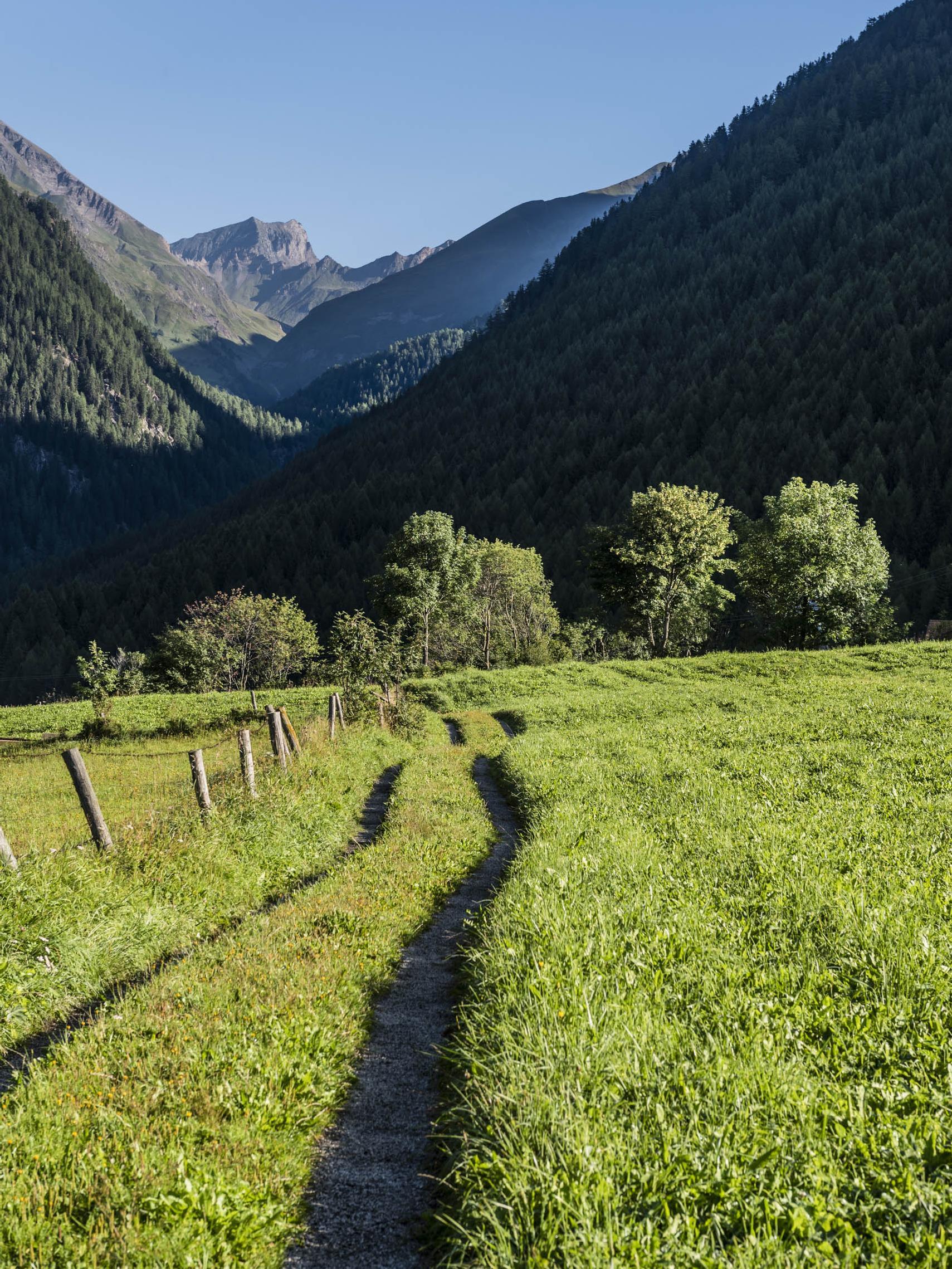
    On peut être actif à toutes les altitudes dans la vallée de l'Isarco. Des sentiers pour les randonneurs et les cyclistes serpentent à travers la plaine de la vallée, passent devant des châteaux et des forteresses, traversent des vignobles et des vergers, montent vers des alpages ensoleillés jusqu'au royaume des Dolomites. Les 33 circuits répondent aux exigences élevées d'une expérience complète. Les terres cultivées par les agriculteurs, les prairies alpines en fleurs et les fiers sommets constituent le décor de ces 33 idées de randonnées dans la vallée d'Isarco. Ces circuits, sélectionnés par les stations touristiques respectives, traversent des régions méditerranéennes et alpines. Le point de départ et le point d'arrivée se trouvent au même endroit, le parcours et le temps de marche varient. Le long du chemin, des monuments d'art et de nature, des curiosités culturelles, des points de vue et des refuges rustiques invitent à faire une pause.

    Résultats
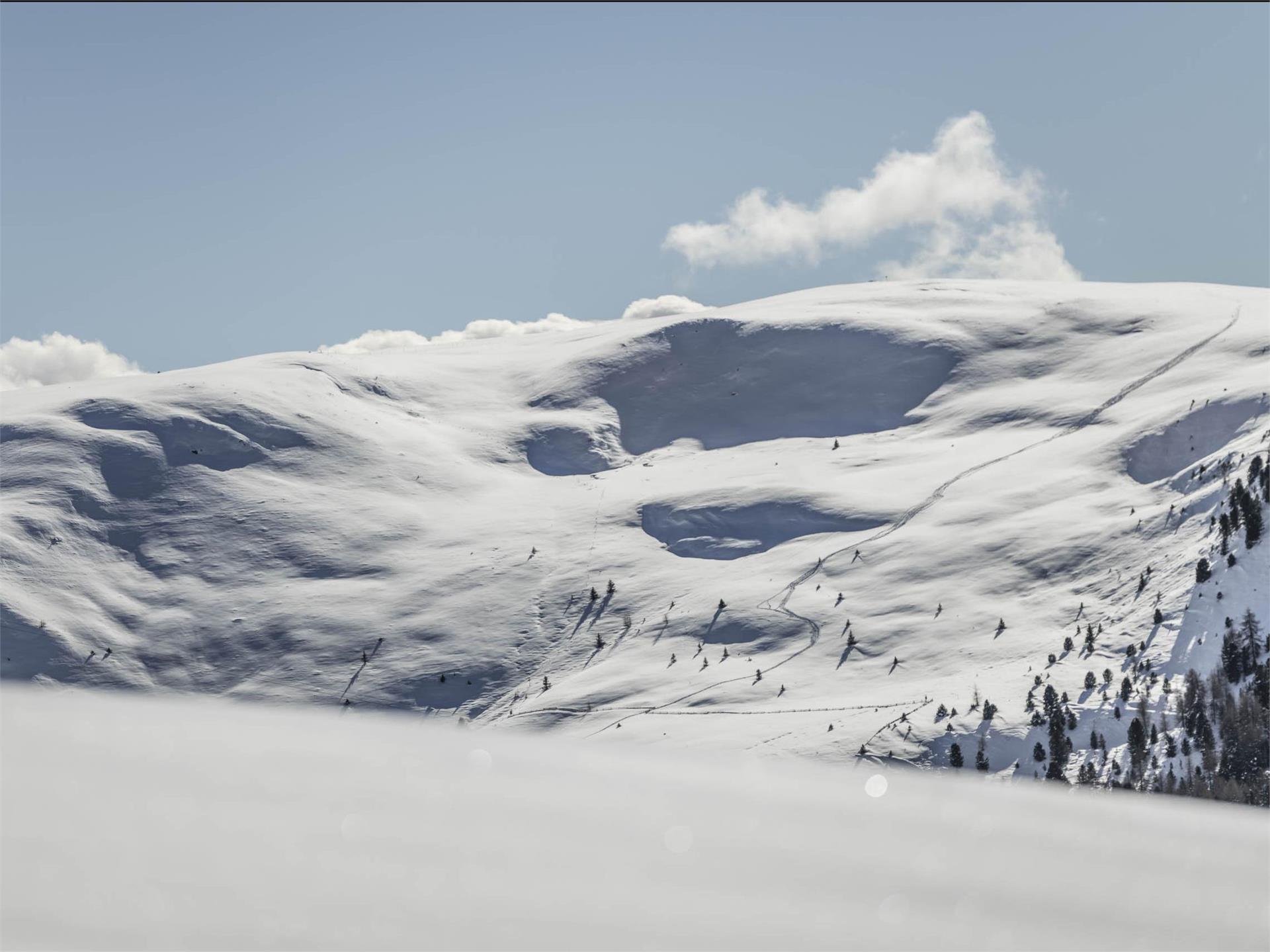
    Sledging
    Lahnwiesen
    Feldthurns/Velturno, Brixen/Bressanone and environs

    Start : Lahnwiesen 1,565 m
    End : Steineben 1,455 m
    Lenght : 900 m
    Difficulty : medium
    Alpine huts : Jausenstation Steineben
    Directions : Feldthurns - Latzfons - Steineben

    Difficulté : facile
    0 m altitude
    0h:27 min durée
    Hiking
    Barbian/Barbiano-San Maurizio/Sauders ( Villanders/Villandro)- Farm winterle- Barbian/Barbiano
    Barbian/Barbiano, Brixen/Bressanone and environs

    From the village place of Barbian/Barbiano we go to the so called "Keschtnweg" in direction to Sauders/San Maurizio at Villanders/Villandro. First we have to cross a steep descent. After this first hard part of the hike we go comfortable to Sauders/San Maurizio (in this place you have also the possibility to eat and drink somewhere). On the return we have to go a little bit on the street in direction to Villanders/Villandro and then we follow the trail nr. 4 until the "Winterlehof". From that position we can go back to Barbian/Barbiano.

    Difficulté : moyenne
    0 m altitude
    3h:00 min durée
    Hiking
    To the barbian waterfalls
    Barbian/Barbiano, Brixen/Bressanone and environs

    The fresh mountain waters of the Ganderbach mountain torrent (2,000 m) cascade down the Barbian Waterfalls from the Barbianer Alm high moors. The hike to the waterfalls from the town of Barbian/Barbiano is along a narrow and partly secured trail.

    Difficulté : facile
    388 m altitude
    1h:40 min durée
    Hiking
    Barbiano - Huber Kreuz - Corno di Sotto
    Barbian/Barbiano, Brixen/Bressanone and environs

    We start from Barbian/Barbiano and take the trail nr. 3 and then 11 to Dreikirchen/Trechiese. From there we follow the way nr. 4 until the parking place "Huber Kreuz". We take the forest road to the direction of "Pian" and follow the trail 3B and 3A to the "Unterhornhaus" and "Felturnerhütte". For the return we take the tail nr. 15 to the mountain pine distillery and than along the way nr. 3, by which we pass the "Unteraichnerhof", "Nixenteich", "Tröglerhof" and "Wieserhof". We follow this way until we arrive at Barbian/Barbiano.

    Difficulté : moyenne
    0 m altitude
    6h:30 min durée
    Hiking
    Millan Circular Hiking Tour
    Brixen/Bressanone, Brixen/Bressanone and environs

    Just behind the J. Freinademetz Parish Church and the rectory, follow the route up to St. Josephstraße street and from there turn right southwards to the Karlspromenade (Charles Promenade) as far as the Maria am Sand Sanctuary. Then descend passing Karlsburg Castle, crossing Plosestraße road and follow the Koflerweg trail up to Sarnser Straße road. At this point, you can either turn to the right and back to the starting point, or take the Don-Bosco-Straße road down to the Eisack river embankment and follow the river in northerly direction until reaching the city center.

    Difficulté : facile
    113 m altitude
    0h:52 min durée
    Hiking
    Neustift-Brixen Törggele Circuit Trail
    Vahrn/Varna, Brixen/Bressanone and environs

    This stunningly beautiful trail takes you through the northernmost vineyards of the Eisacktal Valley, with a refreshment stop at a wine estate or at the Augustinian Monastery wine cellars in Neustift/Novacella. 

    Difficulté : facile
    215 m altitude
    1h:46 min durée
    Marked Ski Paths & Slopes
    Ski slope Maders
    Feldthurns/Velturno, Brixen/Bressanone and environs

    No one is jostling at the lifts, the slopes are pleasantly empty, and a ski hut where hot chocolate awaits: Although they are overshadowed by the well-known large ski resorts, small ski areas and village lifts such as the Maders ski lift are undoubtedly excellent alternatives. Especially families and amateurs can comfortably combine the pleasure of skiing with the romance of the winter season.

    The red and blue slopes are served by a platter lift. This runs over alpine meadows in the lower section and through the forest in the upper section. It is the lowest platter ski lift in South Tyrol.

    Prices:
    One-Day ticket: adults 18,00 € - kids 13,00 €
    Half-day ticket: adults 15,00 € - kids 10,00 €
    Single ticket: adults 2,50 € - kids 1,50 €

    Difficulté : facile
    0 m altitude
    0h:00 min durée
    Hiking
    Törggelen excursion Barbian/o
    Barbian/Barbiano, Brixen/Bressanone and environs

    Start from the village centre and take path 3, walking by Gosternhof towards Ponte Gardena. From there, continue on the bike path to Colma. You will reach the Reatlhof just before the village on path 8A. Follow trail 5 from Colma to Barbiano, where you will talke path 11A and 11B for a quick detour to the Unteraichnerhof. The excursion can be carried out in both directions form Ponte Gardena.

    Difficulté : facile
    502 m altitude
    2h:30 min durée
    Hiking
    Chiusa-Albions-Fonteklaus-Gudon-Chiusa
    Klausen/Chiusa, Brixen/Bressanone and environs

    From the center you walk over the Andreas bridge to Seebegg and Dürer stone, where Albrecht Dürer in the 14th century has made a sketch of the city ​​, which he used as background for his engraving "Nemesis- das große Glück". From here follow the first mark 5 to the village Albion, then the path number 10 until Ansitz Fonteklaus and finally the footpath no. 4 to Gufidaun. From there the trail no. 7 leads to Klausen.

    Difficulté : moyenne
    0 m altitude
    3h:30 min durée
    Hiking
    The adventure theme trail along the Schalderer Bach Torrent
    Vahrn/Varna, Brixen/Bressanone and environs

    Follow the theme trail through a pristine habitat along the Schalderer Bach torrent. The pure mountain waters of this natural monument pass through the Schalderertal Valley for 11 km before flowing into the Eisack river at Vahrn/Varna, just north of Brixen/Bressanone.

    Difficulté : facile
    141 m altitude
    0h:40 min durée
    Hiking
    From Albeins to Teis
    Brixen/Bressanone, Brixen/Bressanone and environs

    This enjoyable family hike from Albeins/Albes retraces the historic trail to the small settlement of Teis/Tiso, at the entrance of the Villnösstal Valley.

    Difficulté : moyenne
    465 m altitude
    2h:46 min durée
    Hiking
    Barbian/Barbiano - Dreikirchen/Trechiese
    Barbian/Barbiano, Brixen/Bressanone and environs

    We start from the village place near the church. Then we go to the Raiffeisenkassa, in north direction. At this point it starts the hiking trail nr. 3 - 11. The first part of this trail is an asphaltic road. We go at the end of this road and there beginns an olt stone-flagged trail.
    Then we continue on an old, paved path, cross the next asphalt road and walk into the forest. About the beautifully landscaped trail with Mark. 11 we get to the sports zone and finally to a forest path. Here begin a forest road that pass on the Dreikirchen/Trechiese. For the return we choose first the trail in the forest nr. 6. After we go ahead on the trail nr. 3 ("Feistegg") until the "Wieserhof". He is located on the street (nr.6a). We go ahead on the street until a branch. Here we have to change to the "Wasserfallweg", that lead us back to the village.

    Difficulté : facile
    308 m altitude
    1h:06 min durée
    Hiking
    Tour to the cascate and Dreikirchen/Trechiese
    Barbian/Barbiano, Brixen/Bressanone and environs

    We start from Barbian/Barbiano and take the trail nr. 3-11 in direction to the sport place. Continue on that way and you will come to the Dreikirchen/Trechiese. For the return we take the trail nr. 6 to "Feistegg" and then the way nr. 3 until "Wieserhof". From that point we have to follow the trail nr. 6A to the saw mill. At the "Wasserfallweg" we go back to Barbian/Barbiano.

    Difficulté : moyenne
    0 m altitude
    2h:00 min durée
    Hiking
    Premium panorama tour Corno del Renon
    Barbian/Barbiano, Brixen/Bressanone and environs

    From the Huber Kreuz we take the forest road to the direction of "Pian" and follow the trail 3B and 3A to the "Unterhornhaus" and "Felturnerhütte". The trail n° 19 goes around the "Schwarzseespitze".

    Difficulté : moyenne
    0 m altitude
    4h:49 min durée
    Hiking
    Round of the Rittner Horn
    Barbian/Barbiano, Brixen/Bressanone and environs

    By car we go to the parking place "Huber Kreuz". On the trail nr. 4 we arrive at the "Obere Horn". Then we take the way nr. 1 until the "Untere Horn". For the return are two possibilities: a.) From the "Untere Horn" we take the trails 3A to the "Pennleger" and then the trail nr. 3B to "Huber Kreuz". b.) From the "Untere Horn" we take the trail nr. 15 to the mountain pine distillery and than nr. 4 to "Huber Kreuz".

    Difficulté : moyenne
    0 m altitude
    4h:00 min durée
    Local tours
    Medieval Sightseeing Walk in Klausen/Chiusa
    Klausen/Chiusa, Brixen/Bressanone and environs

    The little town of Chiusa, wedged into the Eisacktal valley between the main road and the Brenner Pass motorway, is often overlooked by the cars whizzing by - but this is a mistake. The town centre boasts an astonishing wealth of medieval architectural treasures. Anyone embarking on this medieval tour should therefore allow enough time to immerse themselves in the history of the town of Chiusa. There is a lot to see: the crypt, the parish church, the old Town Hall, to name just a few. And when you're tired of walking, you'll find plenty of cafés and restaurants hidden behind the ancient façades.

    Difficulté : facile
    10 m altitude
    0h:21 min durée
    Hiking
    Barbiano/Barbian -S. Ingenuino/Saubach -Colma-Barbiano/Barbian
    Barbian/Barbiano, Brixen/Bressanone and environs

    From Barbian/Barbiano we go to Saubach/St. Ingenuino. At the Saubacherhof you can make a break and eat and drink something. We go to the Pennhof and there begins an old trail that follows us to Kollmann/Colma (way nr. 8). On the return we take the trail nr. 5 until "Heilig Kreuz". there we cross the street and on the trail nr. 5 we arrive Barbian/Barbiano.

    Difficulté : moyenne
    428 m altitude
    2h:28 min durée
    Hiking
    "Great Art in Small Churches" Circular Hiking Tour
    Brixen/Bressanone, Brixen/Bressanone and environs

    With many great works of art to be discovered, this hiking circuit from Brixen/Bressanone runs to St. Andrä/S. Andrea and then Klerant/Cleran. In fact, a number of the small churches on the low-lying St. Andrä mountains are home to masterpieces of the late Gothic period. The sacred aura and historical significance of these treasured works of art make the scenic Eisacktal Valley even more captivating.

    Difficulté : moyenne
    743 m altitude
    4h:31 min durée
    Hiking
    Walk along the green promenade in Brixen
    Brixen/Bressanone, Brixen/Bressanone and environs

    The leisurely Green Town Walk in Brixen/Bressanone leads through its most picturesque green zones, highlighting the more significant historic areas and buildings in the oldest town in Tyrol.

    Difficulté : facile
    18 m altitude
    1h:04 min durée
    Hiking
    Barbian/Barbiano- waterfall- Dreikirchen/Trechiese
    Barbian/Barbiano, Brixen/Bressanone and environs

    From the village place near the church we have to go to the end of the village, in direction to Saubach/St. Ingenuino. At the last house of the village (Haus Urban), on the right side, begins the "Wasserfallweg". We contnue this trail until we cross a street. We go on this street until the next curve and branch off to the left and there is another trail, which pass on the lower waterfall (duration ca. 1 hour).

    Difficulté : moyenne
    0 m altitude
    3h:00 min durée
    Hiking
    Loop road "Saubacher Rundweg"
    Waidbruck/Ponte Gardena, Brixen/Bressanone and environs

    A beautiful hike at Saubach/S. Ingenuino is the "Saubacher Rundweg". You can park the car on the "Saubacherhof" (restaurant, where you can eat etc.). Then you take the street in direction to Barbian/Barbiano until you come on a sign, where is written "Saubacher Rundweg". Follow the trail and you pass the "Pardiller" and "Unterfaller" farm. Then you come back to Saubach/S. Ingenuino and take the "Koflweg" (way nr. 28) that begin behind the "Saubacherhof". Go on the path until it comes an intersection. You have to leave the trail nr. 28 and go on the "Saubacher Rundweg", that is also signposted. Following the trail you will arrive on the street that goes to Barbian/Barbiano. From that point you can easily return to the "Saubacherhof".

    Difficulté : moyenne
    0 m altitude
    2h:30 min durée
    Hiking
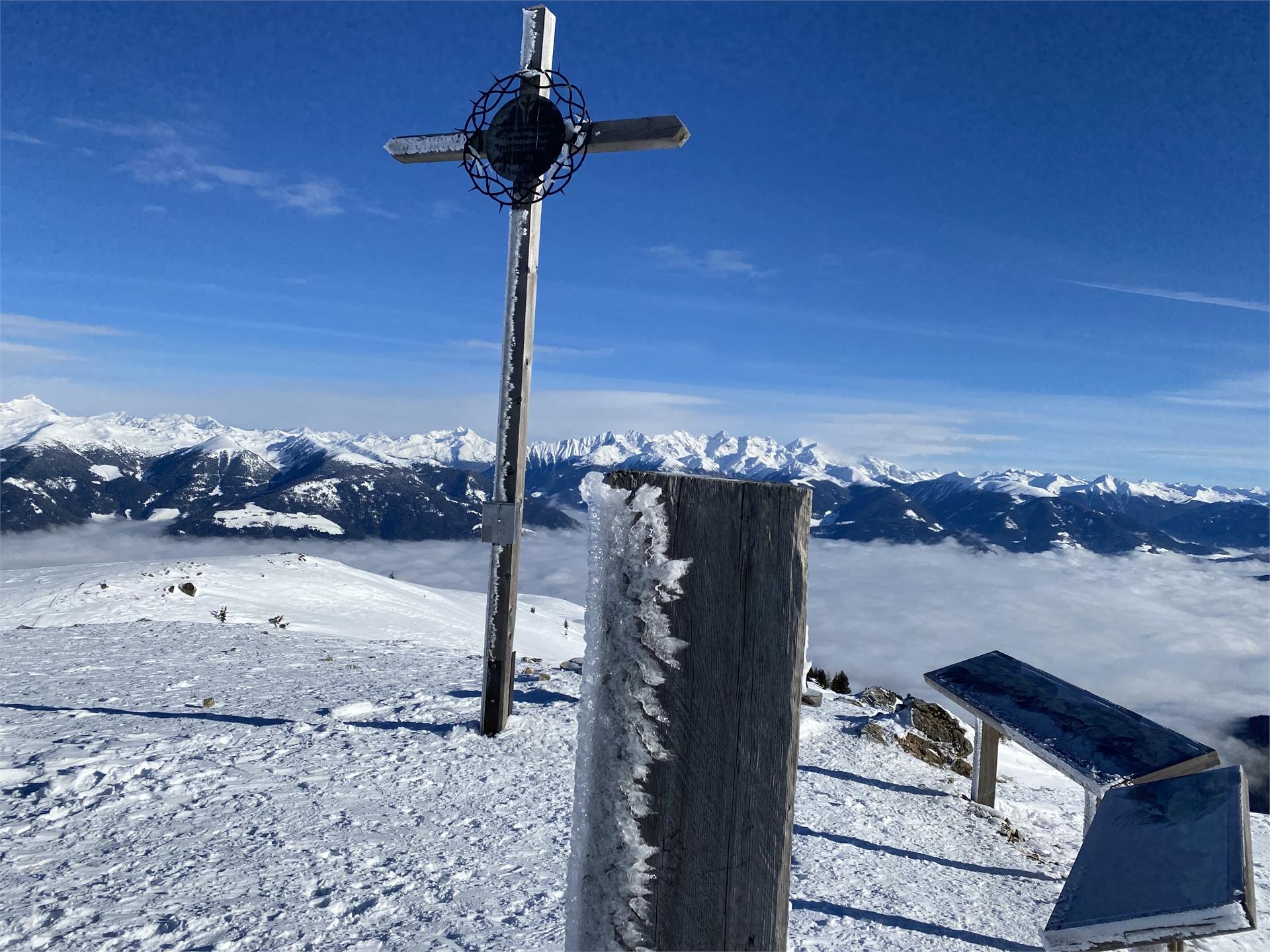
    Gasser Hütte- Rittner Horn
    Barbian/Barbiano, Brixen/Bressanone and environs

    Panoramic excursion to the "Corno di Renon"... geographical center of South Tyrol...

    Difficulté : moyenne
    538 m altitude
    2h:06 min durée
    Hiking
    Kofelweg Saubach/Barbian
    Waidbruck/Ponte Gardena, Brixen/Bressanone and environs

    We start in Saubach/S. Ingenuino and hike on the trail nr. 28 on the "Saubacher Koflweg". Then we go right to the way nr. 3 and arrive the "Katzenleiter" and "Kasserol". On the mark nr. 3 we come back to the village Barbian and from there we retun to Saubach/S. Ingenuino.

    Difficulté : moyenne
    0 m altitude
    4h:00 min durée
    Hiking
    Leitacher Weinwanderweg wine route in Klausen
    Klausen/Chiusa, Brixen/Bressanone and environs

    This easy hike leads through the sunny vineyards on the steep slopes of Leitach, north of Klausen/Chiusa. Along the way, a series of info boards illustrate the history of winemaking in South Tyrol, describing the different grape varietals and wines of Klausen.

    Difficulté : facile
    268 m altitude
    1h:26 min durée
    Hiking
    Saubach/San Ingenuino - Rampoldsteig/Sentiero Rampold - Heidrichsberg/Monte Heidrichsberg
    Barbian/Barbiano, Brixen/Bressanone and environs

    From Saubach we go an the trail nr. 28 on the "Saubacher Koflweg". The trail is very steep and for this reason we need good footwear. On the first fork we turn left and go on the mark nr. 34 to the "Saubacher Schritzenholz". On the next fork we go on the right direction on the "Rampoldsteig". He follows into a forest to "Schlegeisen" and up to the "Heidrichsberg". On our return we turn right on the fork and take the trail nr. 27 to "Rastall". There we follow the alpine street to "Pian". We pass the "Lukasalm" and the "Unteraichneralm" and we go ahead to the "Nixenteich". On the next brench we turn right to "Kasserol" and there we take the trail nr. 34 until the so called "Katzenleiter" and "Katzensprung". From that point we hike back on the mark nr. 28 to our initial point Saubach/S. Ingenuino.

    Difficulté : moyenne
    0 m altitude
    5h:30 min durée
    Hiking
    Huber Kreuz-Corno di Renon-Corno di Sotto
    Barbian/Barbiano, Brixen/Bressanone and environs

    From Barbian/Barbiano we drive by car on the street to the alps of Barbian/Barbiano. At the end of the street is the parking place "Huber Kreuz", where we leave our car. First we take the trail nr. 4 and then the trail nr. 15 to the mountain pine distillery (in german "Latschenbrennerei"). We follow the way nr. 3 and then 4 (there is also the "Platzeralm", a place where we can eat or drink something) to the "Obere Horn" ( possibility to eat and drink). At the return we go on the mark nr. 1 to the "Felturnerhütte" and "Unterhornhaus". From that point we can go on the trail nr. 3A and then 3 B to our initial point, the "Huber Kreuz".

    Difficulté : moyenne
    0 m altitude
    4h:00 min durée
    Hiking
    From the village of Barbian to the Rittner Horn
    Barbian/Barbiano, Brixen/Bressanone and environs

    This average circular hike leads from Barbian/Barbiano to the Rittner Horn summit, with a 360° panoramic view. Referring to the summit of the Rittner Horn, Ludwig Purtscheller, the first European to climb Mount Kilimanjaro, once said: "If you want to see Tyrol at a glance, climb these heights".

    Difficulté : moyenne
    666 m altitude
    3h:30 min durée