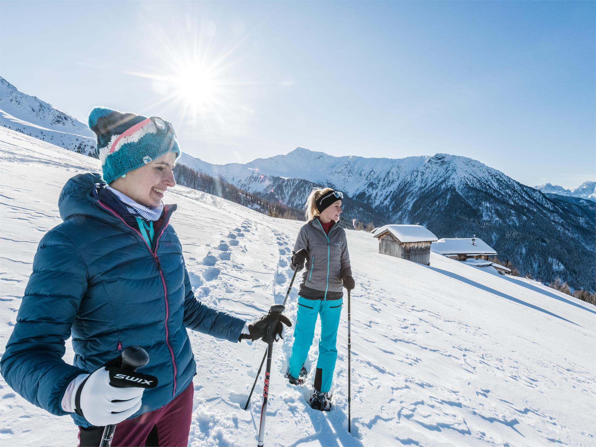
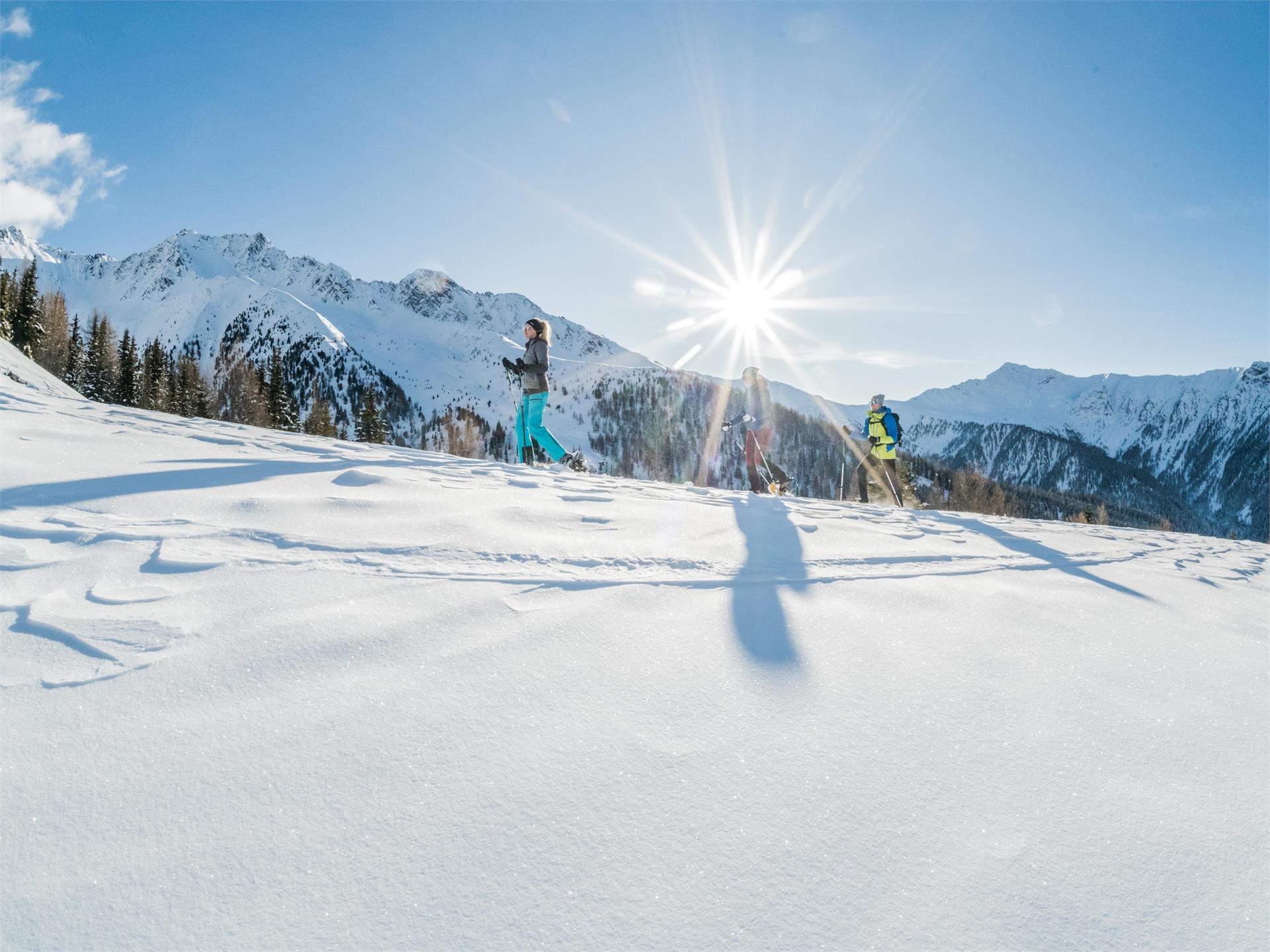
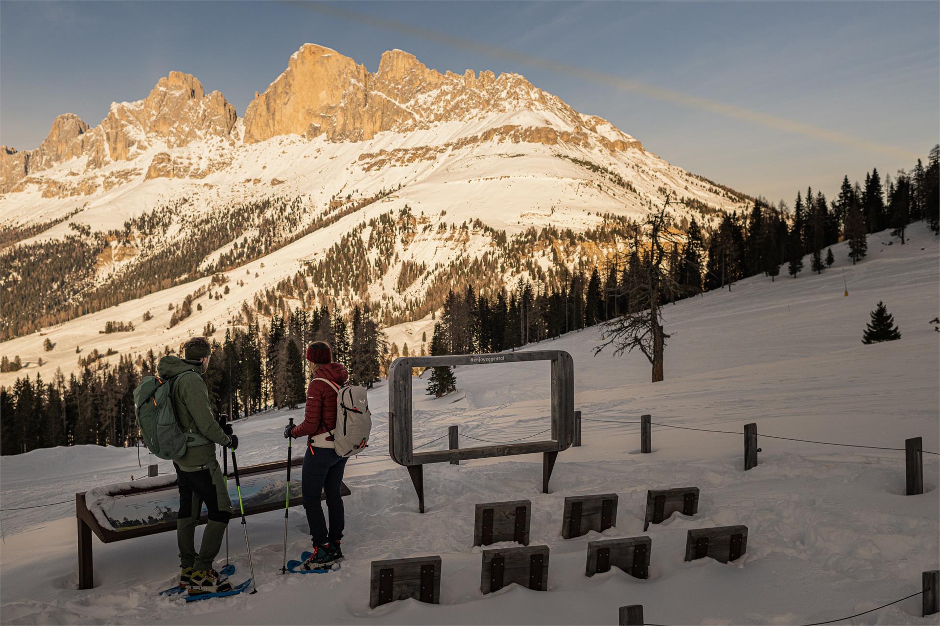
Dear snowshoe hikers:
Because of their favourable location, negligible risk of avalanches and the large number of users the following hiking tips are suitable at all times. Please be careful after heavy fresh snowfall or in extreme weather. Always: Check the avalanche status report and the weather forecast. Unless the walks are circular walks, all descriptions are only for the outbound stretch.
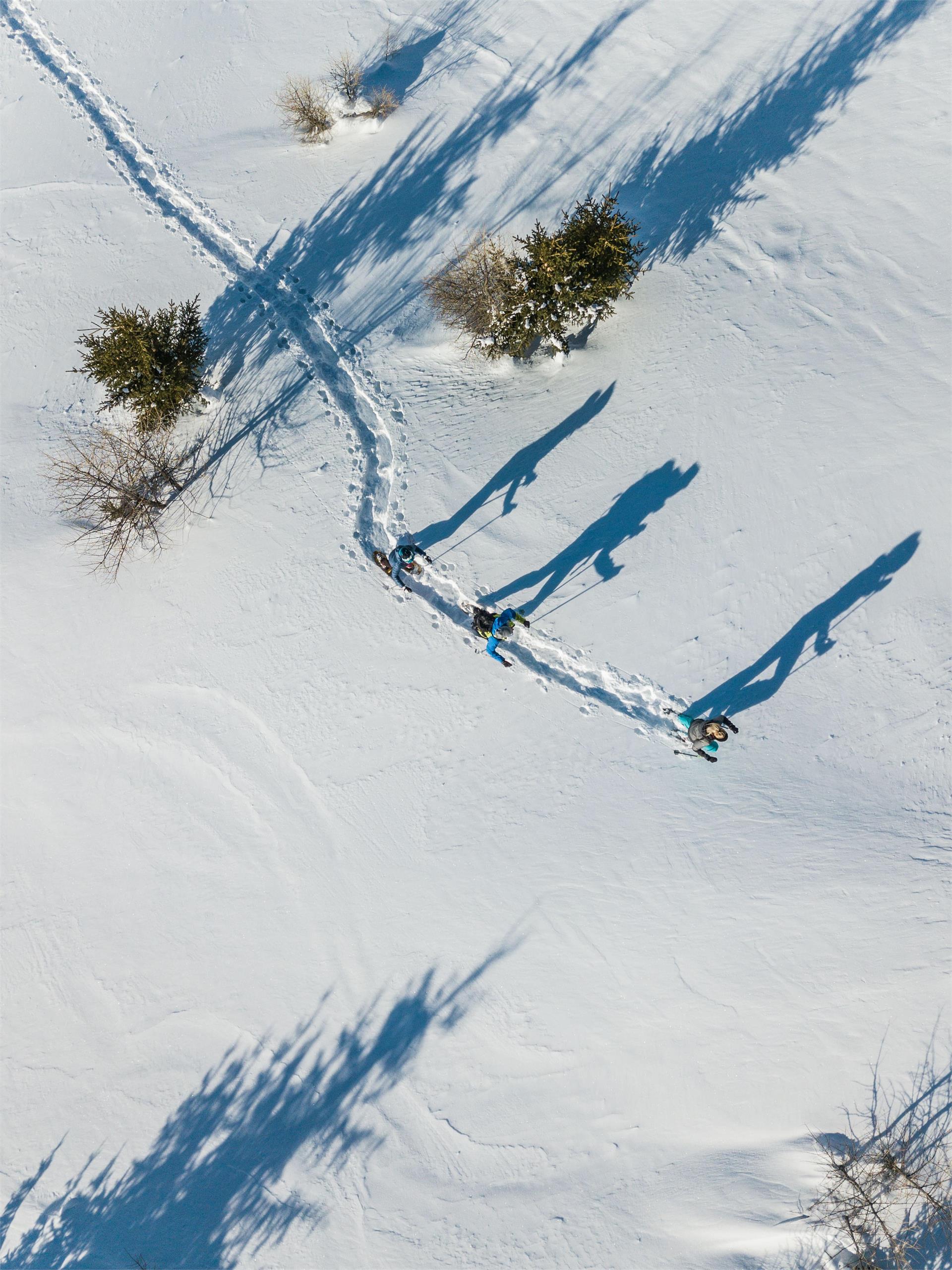
Do not leave the paths. For the benefit of the wildlife that already struggles in winter, please avoid making loud noises.
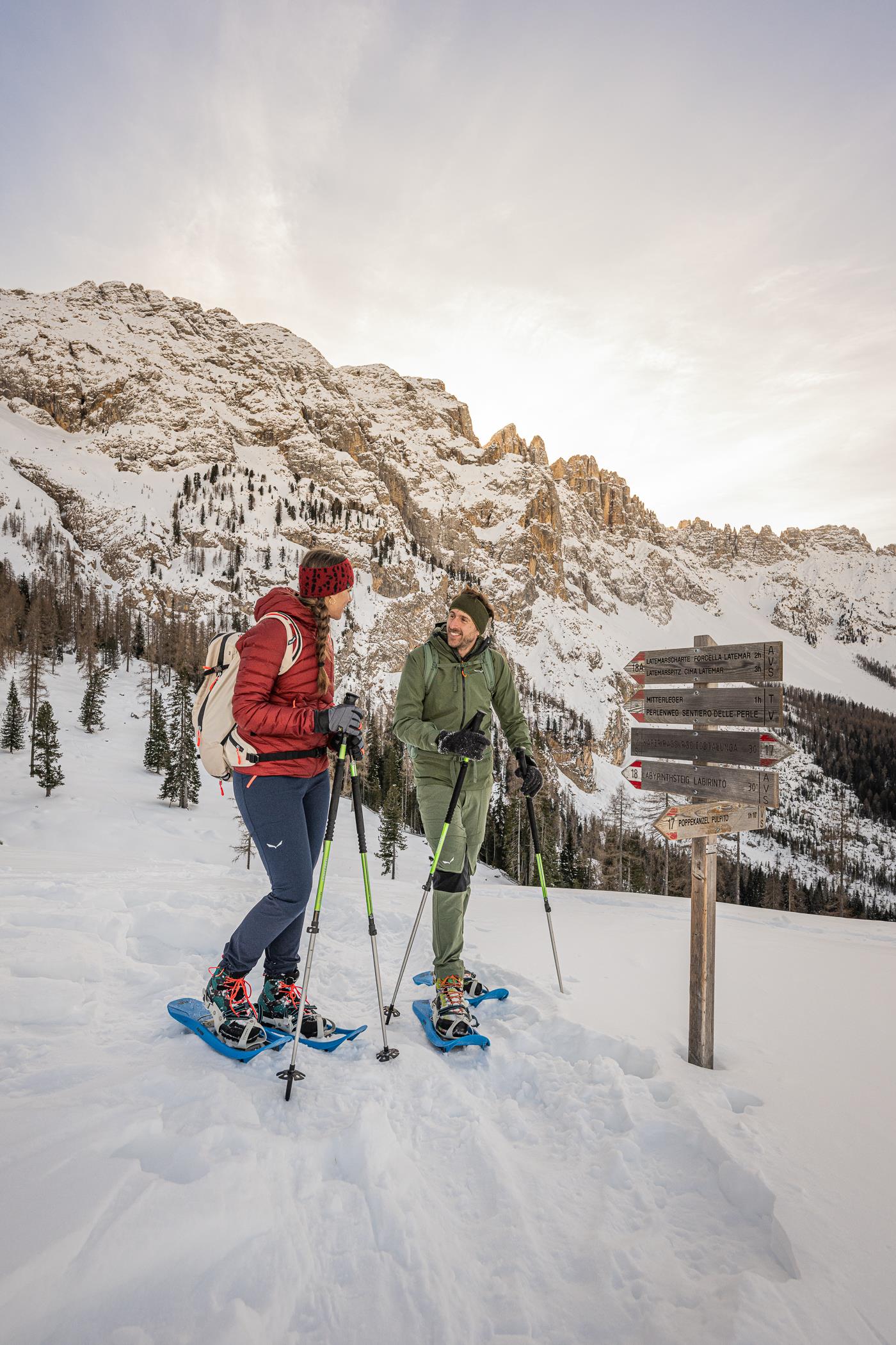
If you are unsure of anything, please ask your host or Tourist Information.
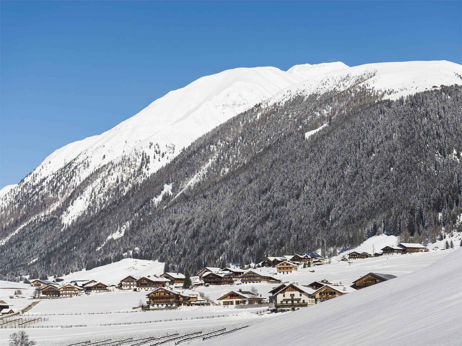
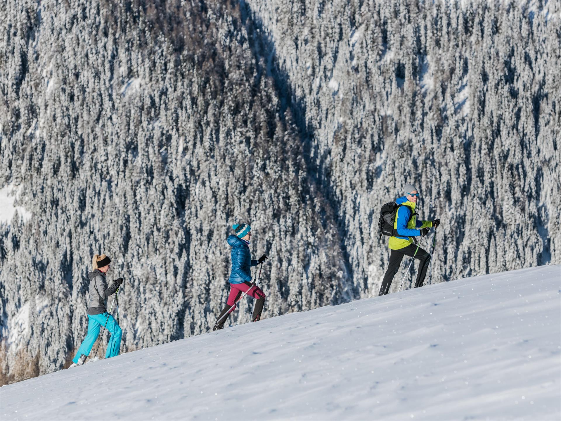
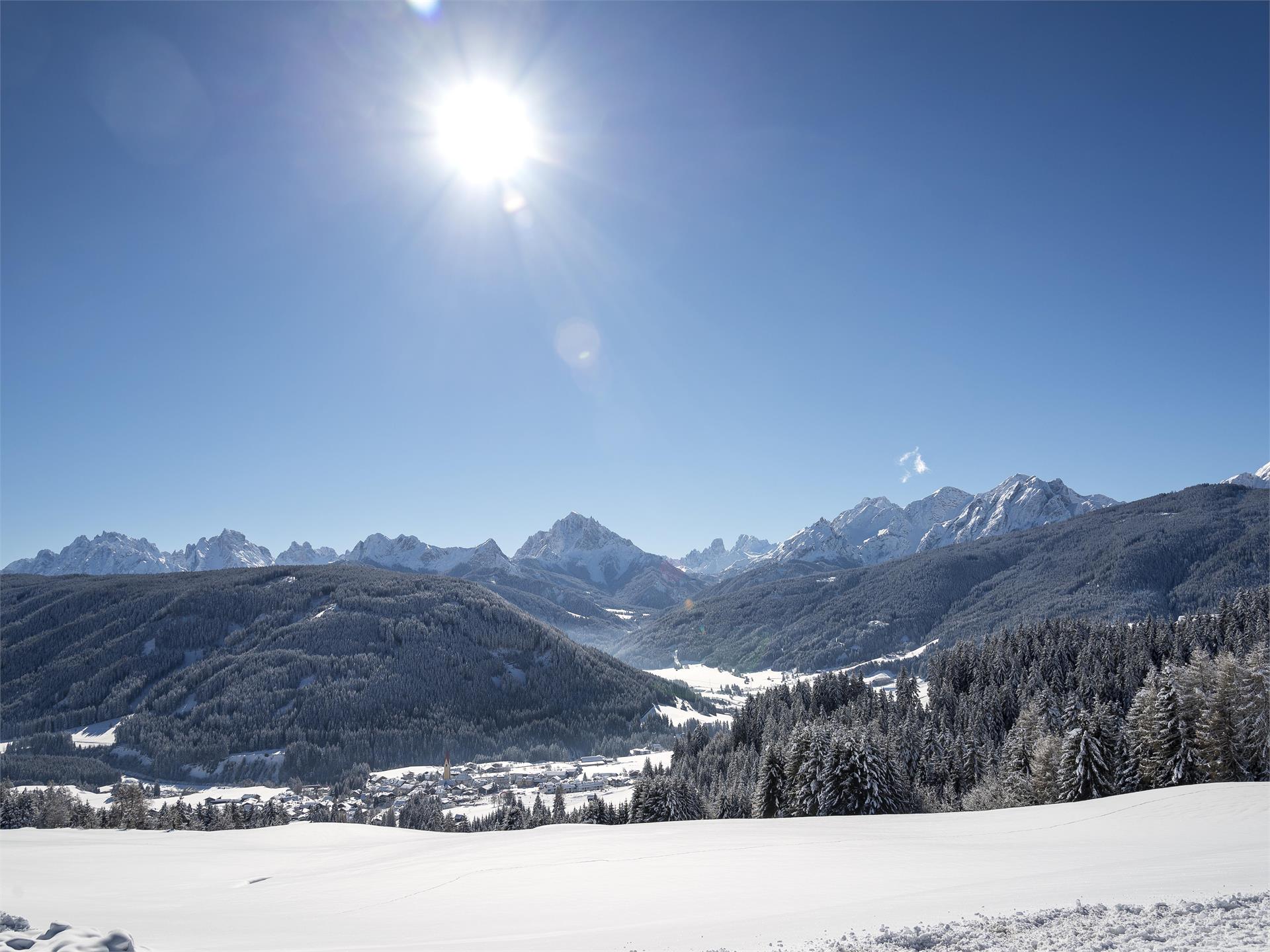
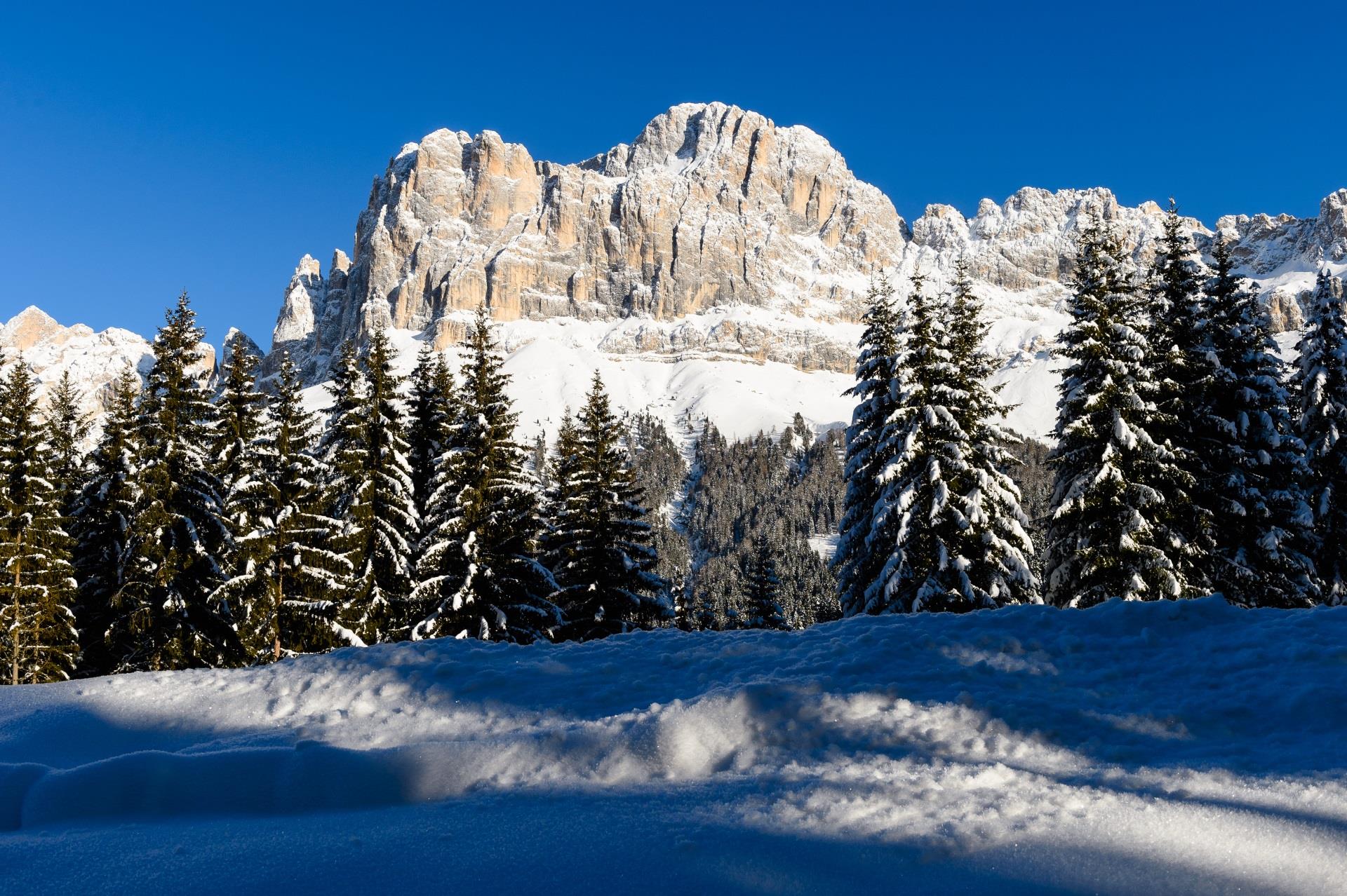
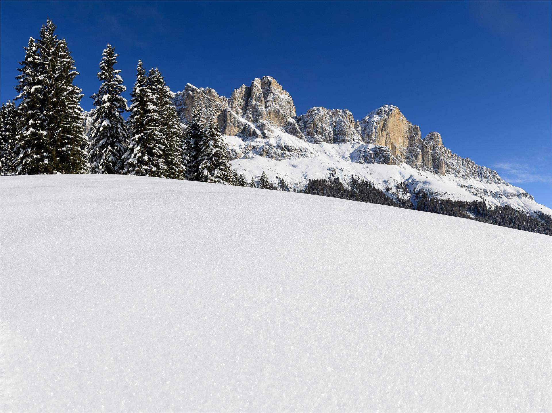
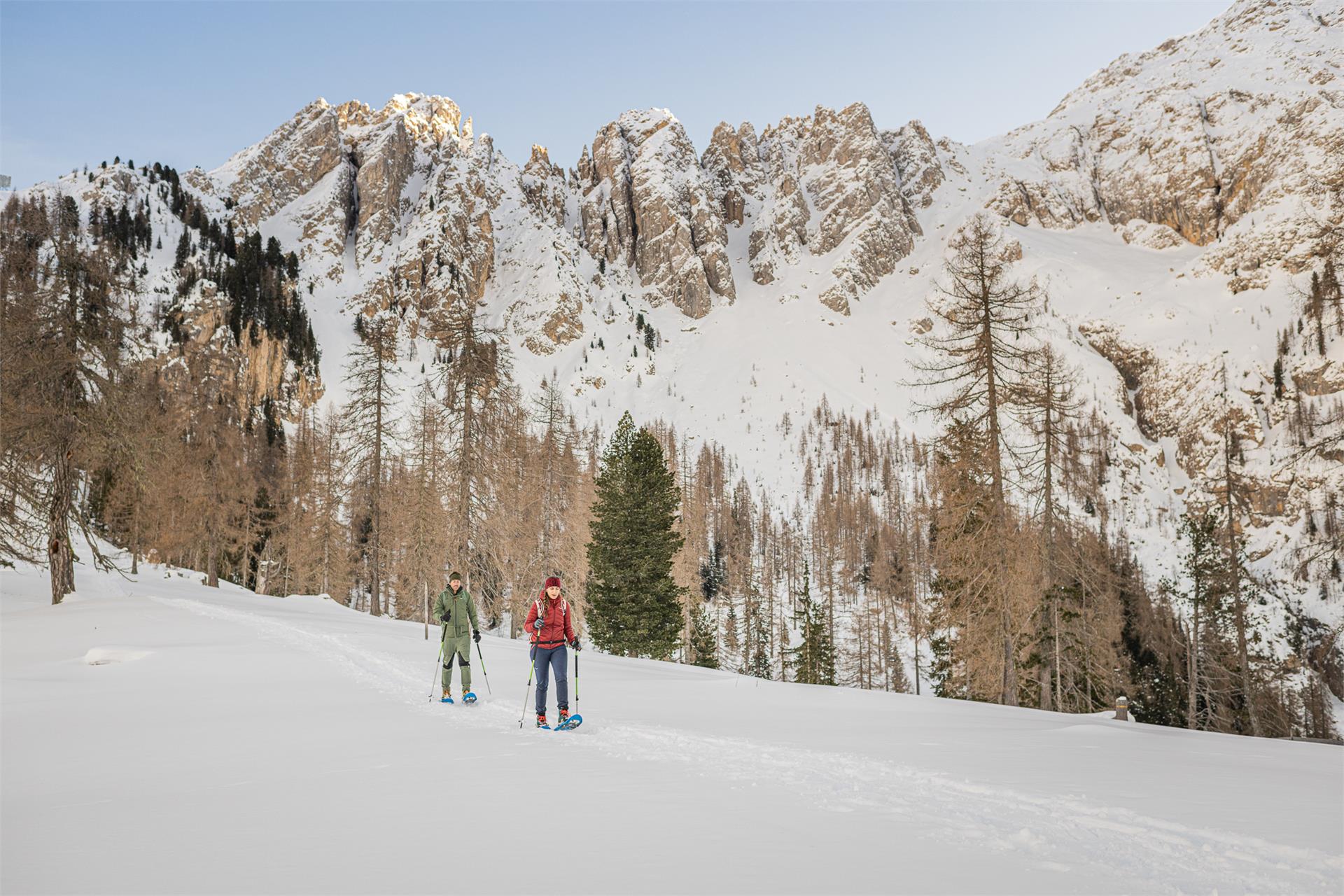
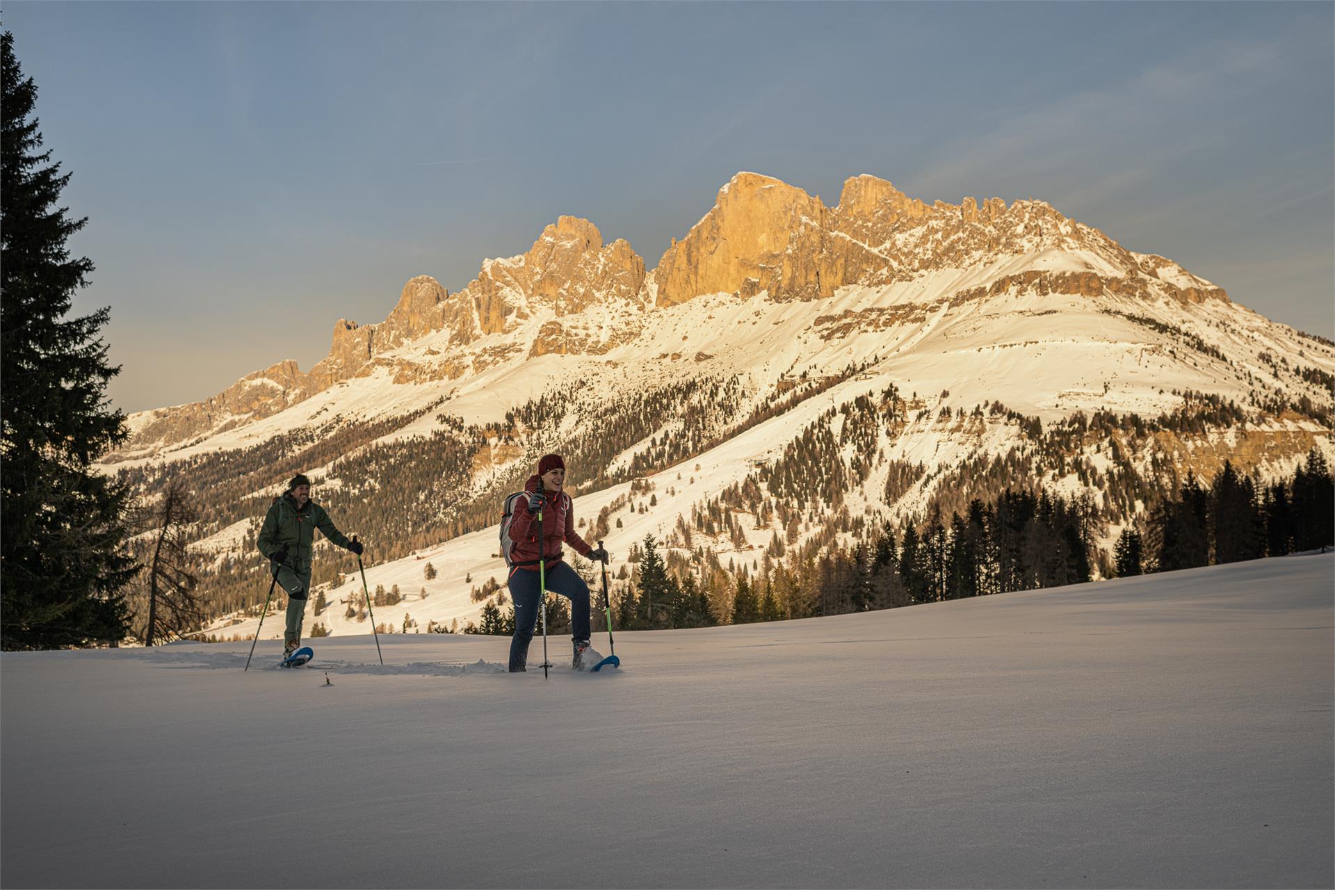
Tour in a magical winter landscape in what is called the “battle zone”, the region where vegetation has to battle with the elements to stay alive and trees are often stunted. Lovely panoramic views. Refreshments: Roaners Bauernkuchl near the start.