Přeskočit na obsah

přidáno k oblíbeným

odebráno z oblíbených

Jejda! Došlo k problému, zkuste to prosím znovu

Vytváří se váš účet

Váš účet byl úspěšně vytvořen a nyní jste přihlášeni

Jste úspěšně přihlášeni!

Váš účet byl úspěšně vytvořen, ale nepodařilo se nám vás automaticky přihlásit

Jste odhlášeni

Filtr
Vybrané filtry
    Úroveň obtížnosti
    Doba trvání
    Vzdálenost v km

    Běžecké tratě v Brixenu

    Brixen a jeho okolí nabízí skvělé možnosti pro běhání. Prozkoumejte krásné trasy, které vedou přírodou a užijte si aktivní dovolenou.
    Výsledky
    Cross-country ski-track
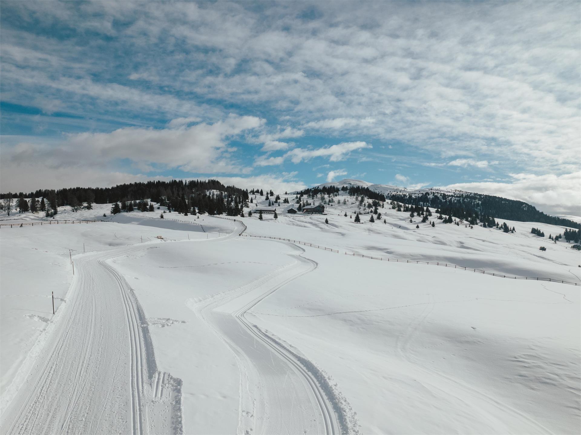
    Vals Cross-Country Ski Loop: Fun in Stunning Winter Scenery
    Mühlbach/Rio di Pusteria, Brixen/Bressanone and environs

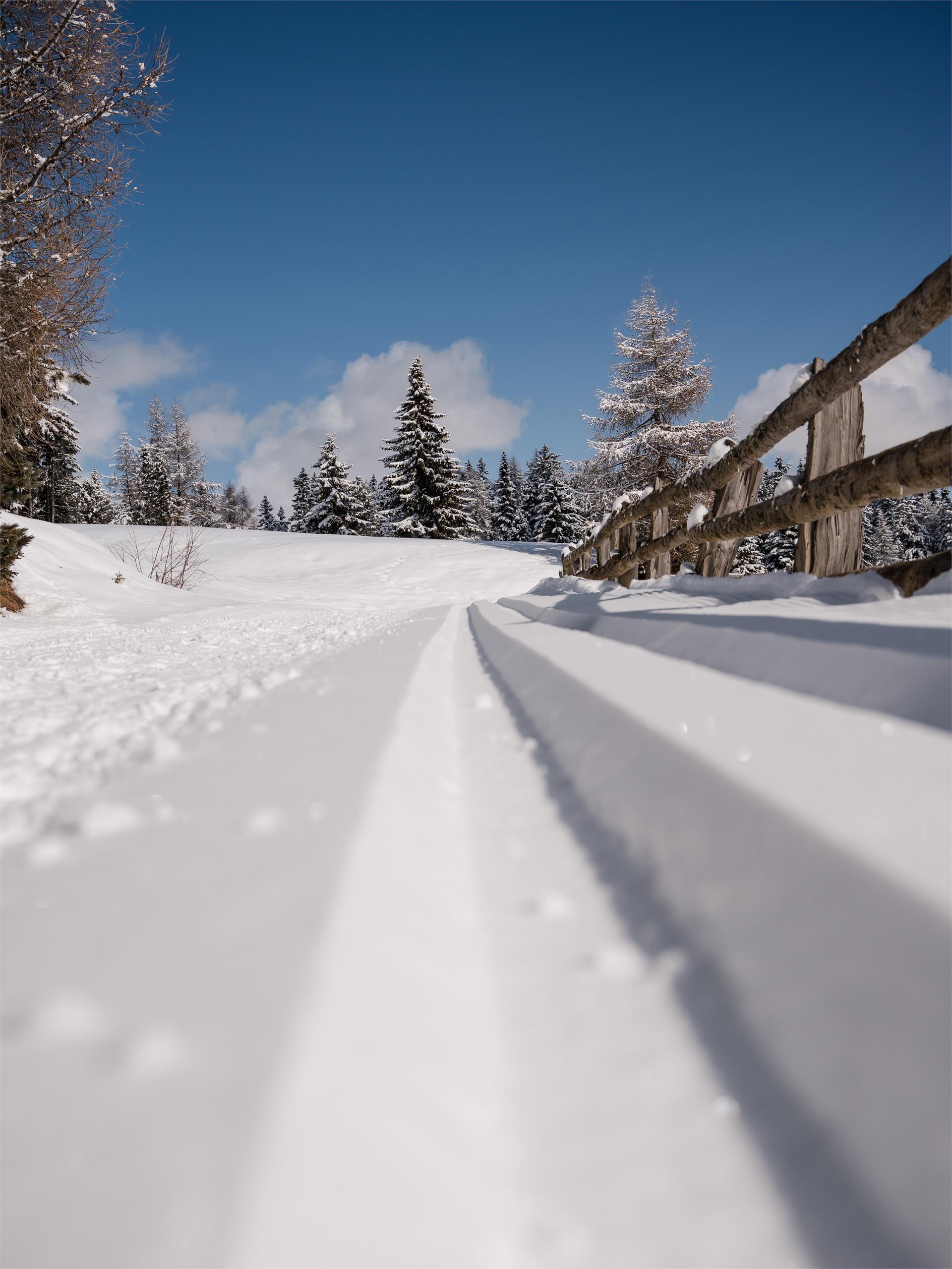
    Experience the Vals cross-country ski loop, a diverse and beautiful track perfect for both beginners and advanced skiers. With multiple difficulty levels, it’s ideal for relaxed rounds as well as more challenging runs.

    If you don’t have your own equipment, rentals are available on-site, so you can get started right away.

    Important Notice
    Please note that the loop layout may be adjusted depending on snow conditions and may not always match the GPX data exactly.

    Obtížnost: střední
    60 m nadmořská výška
    0h:00 min doba trvání
    Cross-country ski-track
    Loipe Sportzone Petschied
    Lüsen/Luson, Brixen/Bressanone and environs

    Cross Country Ski Run in the sportzone of Lüsen-Petschied. Illuminated once a week. 5 km and 70 m altitude difference

    Obtížnost: nízká
    122 m nadmořská výška
    0h:00 min doba trvání
    Cross-country ski-track
    Cross country ski trail - Alp of Villandro
    Barbian/Barbiano, Brixen/Bressanone and environs

    An insider tip for cross-country skiers is the Villandro Alp at 2,000 meters above sea level, high above the village of Villanders in Eisacktal.

    Obtížnost: střední
    456 m nadmořská výška
    0h:00 min doba trvání
    Cross-country ski-track
    Cross-Country Skiing in Terenten
    Terenten/Terento, Brixen/Bressanone and environs

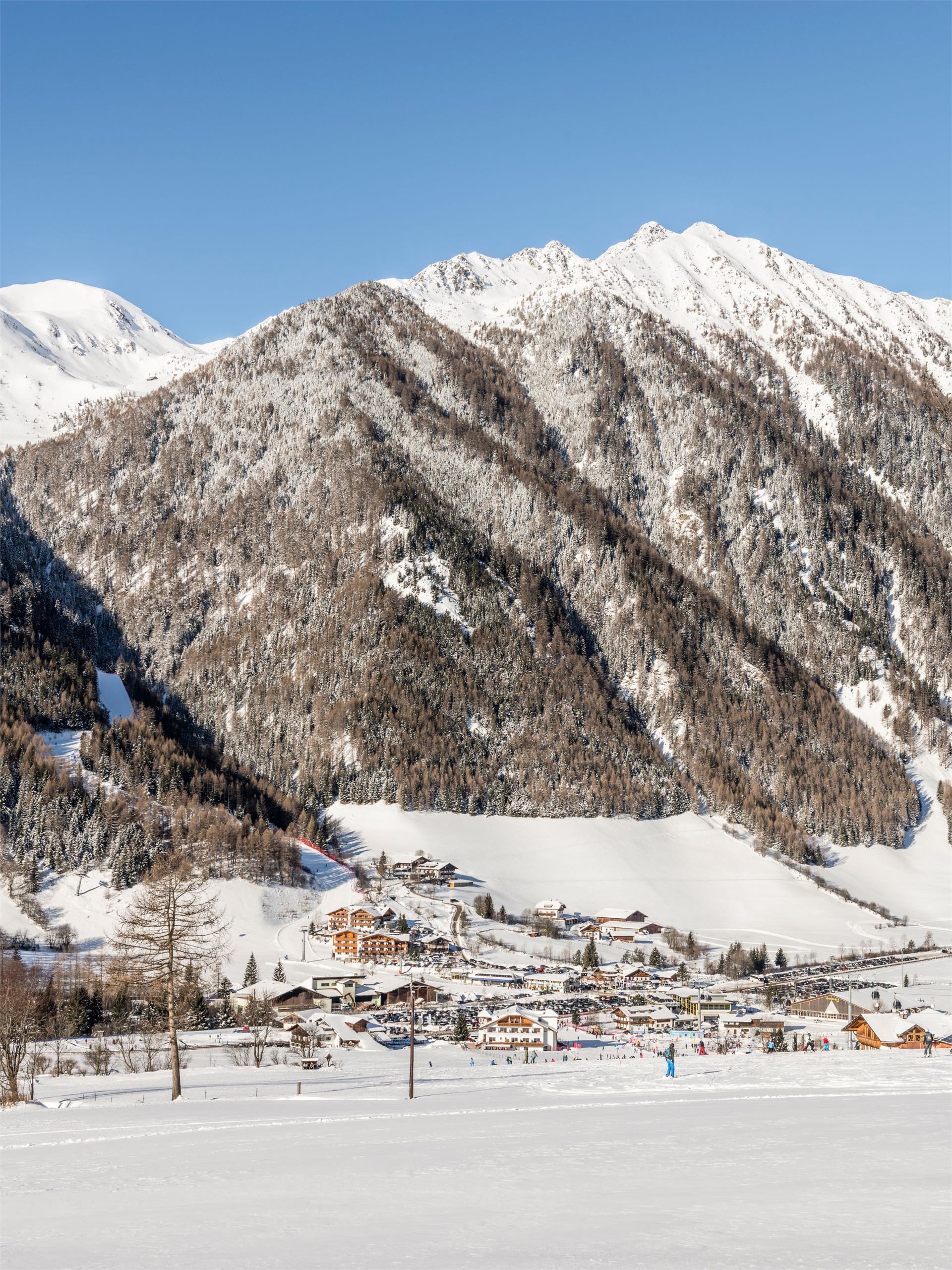
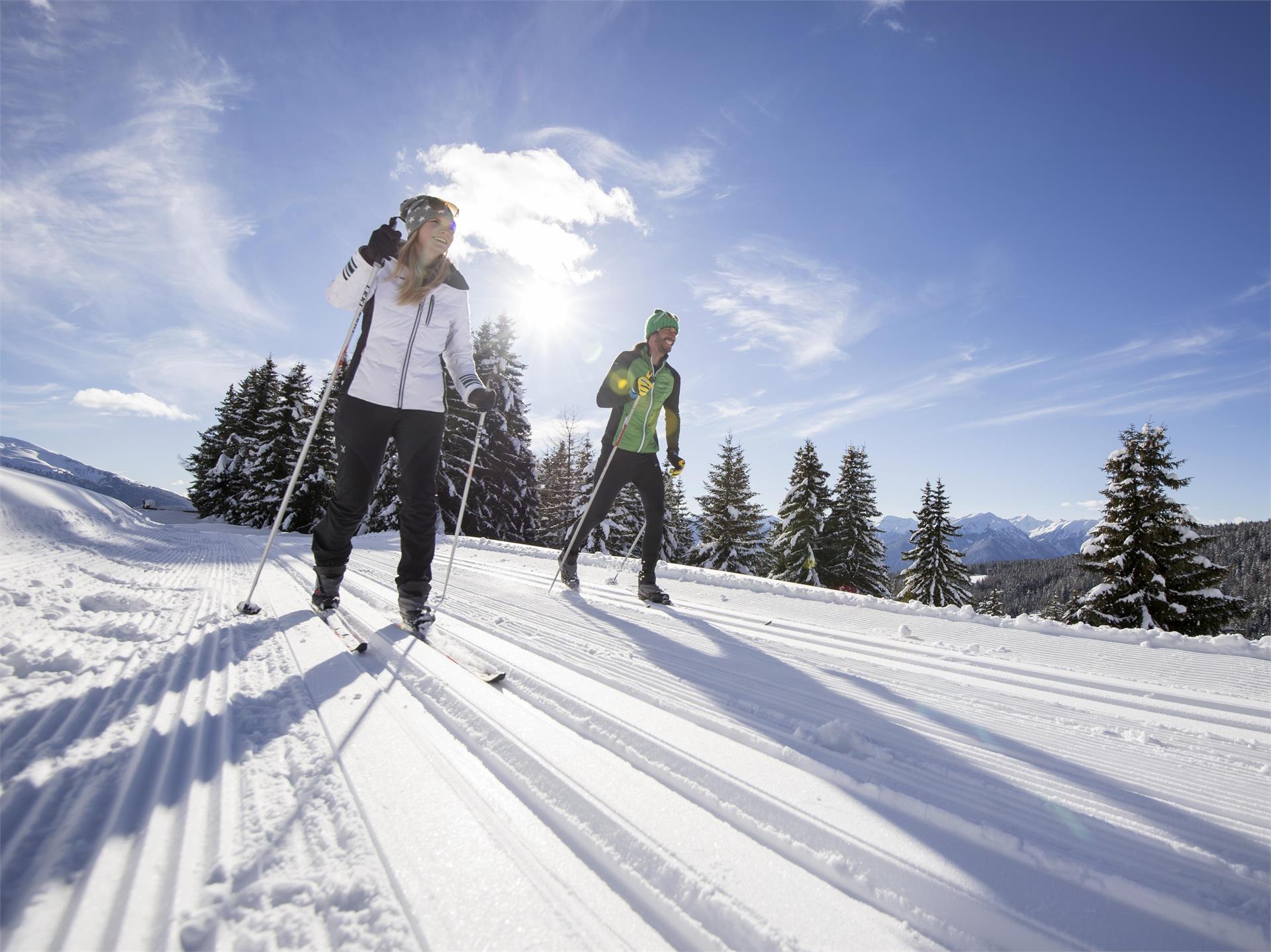
    The natural snow cross-country track in Terenten is ideally located in the village center and offers perfect conditions for cross-country skiing enthusiasts! The trail includes two options: a 3 km intermediate route and a 2.5 km easy route. Both loops take you through beautiful winter landscapes, making them perfect for beginners and advanced skiers alike. The starting point is at the Terenten sports area.

    If you don’t have your own equipment, you can easily rent cross-country skis at Skiverleih Engl in the village and head straight onto the trail.

    Please note that the loop layout may be adjusted depending on snow conditions and may not always match the GPX data exactly.
    Obtížnost: střední
    62 m nadmořská výška
    0h:00 min doba trvání
    Cross-country ski-track
    Cross country ski trail - Alp of Villandro
    Villanders/Villandro, Brixen/Bressanone and environs
    An insider tip for cross-country skiers is the Villanderer Alm at about 2000 m above sea level far above the village of Villanders in the Eisacktal valley. The trail is technically not so demanding, but very varied with small loops, as well as curves and two moderate descents. Ideal for beginners and advanced. The trail lies almost exclusively in the sun and is nevertheless laid out in such a way that the snow conditions do not suffer. The trail is continuously groomed and maintained.
    Obtížnost: střední
    124 m nadmořská výška
    0h:00 min doba trvání
    Cross-country ski-track
    Loipe
    Rodeneck/Rodengo, Brixen/Bressanone and environs

    Cross Country Skiing from Tulper-Gampis to the Rodenecker-Lüsner Alm

    Obtížnost: střední
    142 m nadmořská výška
    0h:00 min doba trvání
    Cross-country ski-track
    Cross-country skiing trail Rodenecker-Lüsner Alp
    Rodeneck/Rodengo, Brixen/Bressanone and environs
    The first destination we recommend for cross-country skiing is one of Italy’s largest high-mountain plateaus: the Rodenecker-Lüsner Alp. What you will find up there is a 25-kilometretrail suitable for both classic and skating styles. The trail, which features a total elevation gain of 300 metres, leads from the Zumis car park to the Roner Alm hut in gentle ups and downs, and on past the Pianer Kreuz chapel to the Starkenfeldhütte hut. Both huts are open in winter and serve a range of tempting regional dishes. The view of the glittering alpine meadows and Mt. Peitlerkofel enjoyed from the trail adds a touch of fabulousness to the experience.
    Obtížnost: nízká
    441 m nadmořská výška
    0h:00 min doba trvání
    1