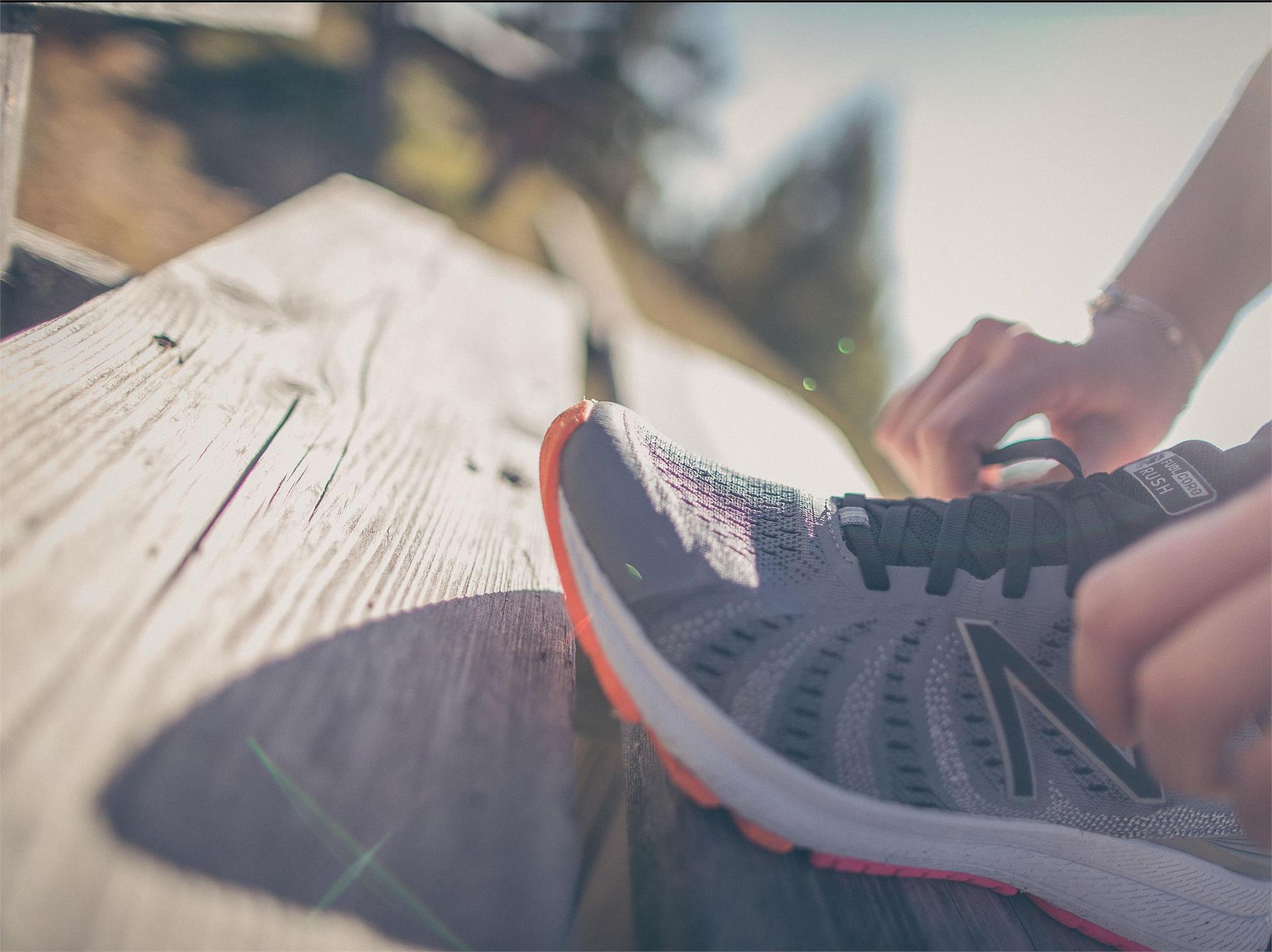
Running & Fitness
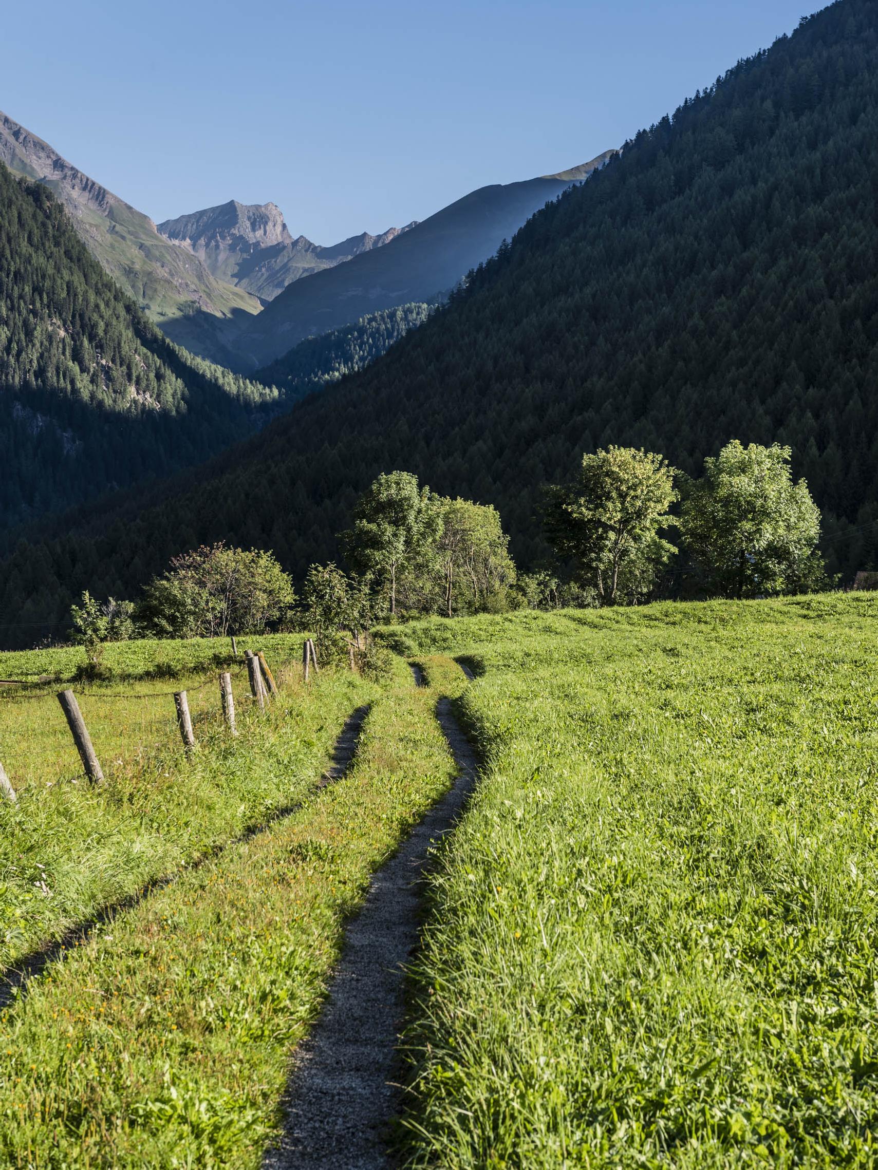
Latsch/Laces, Vinschgau/Val Venosta
Beautiful scenic running track at the south of Morter with a great variation over the castle ruins of Montani.