Přeskočit na obsah

přidáno k oblíbeným

odebráno z oblíbených

Jejda! Došlo k problému, zkuste to prosím znovu

Vytváří se váš účet

Váš účet byl úspěšně vytvořen a nyní jste přihlášeni

Jste úspěšně přihlášeni!

Váš účet byl úspěšně vytvořen, ale nepodařilo se nám vás automaticky přihlásit

Jste odhlášeni

Filtr
Vybrané filtry
    Úroveň obtížnosti
    Doba trvání
    Vzdálenost v km
    Aktivity

    Všechny vysoké a dálkové turistické trasy

    Ať už vás zajímá úchvatný národní park Stilfser Joch, Dolomity zapsané na seznamu světového dědictví UNESCO nebo odlehlé Pfunderer Berge, vysokohorské a dálkové turistické trasy v regionu nabízejí možnost vícedenních túr, které vás zavedou od jedné horské chaty ke druhé úchvatnou krajinou. Tyto delší horské túry nabízejí ideální únik od nároků každodenního života a umožňují vám skutečně se odpojit a ponořit se do přírody.

    Výsledky
    Long-Distance Hiking Paths
    The Dolomites High Route n. 9
    Corvara, Dolomites Region Seiser Alm

    The route of the the Dolomites High Route n. 9 , unlike most other Dolomite High Altitude Trails, runs as a transversal from west to east over the ridges of the Dolomites, most of which rise from south to north.

    Long-distance hiking trail with panoramic views
    The Dolomites High Trail No. 9 starts in the provincial capital of South Tyrol, Bozen/Bolzano, then crosses South Tyrol and part of the province of Belluno. The stages of the long-distance hiking trail are really short and therefore also suitable for hikers with less physical condition. This long-distance hike takes you to the most beautiful places in the Dolomites. The route is taken within 12 to 14 days.

    Obtížnost: vysoká
    11447 m nadmořská výška
    65h:15 min doba trvání
    Long-Distance Hiking Paths
    Multi-Day hike from the Catinaccio to the Sciliar - 2. Stage
    Welschnofen/Nova Levante, Dolomites Region Eggental

    The second stage of the multi-day hike starts with the ascent to the Passo Cigolade. The descent from the pass leads to the Rif. Vajolet, the second accommodation. After the check-in an ascent to the Passo Santner is possible.


    Obtížnost: vysoká
    909 m nadmořská výška
    4h:04 min doba trvání
    Long-Distance Hiking Paths
    Dolomites World Heritage Geotrail II - Stage 9: from the Plätzwiese High Plateau to the Dreizinnenhütte Hut
    Prags/Braies, Dolomites Region 3 Zinnen
    The ninth stage of the Dolomites World Heritage Geotrail II leads up the Rienztal valley to the Dreizinnenhütte hut in the shadow of the Three Peaks. This stage takes in a precise moment in the geological history of the Dolomites, namely when, 235 million years ago, after a period of intense volcanic activity, new reefs of algae, sponges and corals took root on the cores of the previous tropical atolls.

    More information: https://www.dolomitiunesco.info/attivita/dolomites-world-heritage-geotrail/?lang=en
    Obtížnost: střední
    1387 m nadmořská výška
    6h:04 min doba trvání
    Long-Distance Hiking Paths
    Dolomites World Heritage Geotrail II - stage 2: from the Lavazèjoch Pass to the Karer Pass
    Welschnofen/Nova Levante, Dolomites Region Eggental

    In this second stage of the Dolomites World Heritage Geotrail II you reach the mountain massif, that is left as a remnant of a former Triassic atoll: the Latemar. This second stage leads to the western flank of the former atoll and gives the impression of walking on the seabed of the underwater slope that once rose upwards to the surface of the water.

    Find out more: https://www.dolomitiunesco.info/attivita/dolomites-world-heritage-geotrail/?lang=en

    Obtížnost: střední
    842 m nadmořská výška
    6h:24 min doba trvání
    Long-Distance Hiking Paths
    Dolomites High Route n. 8
    Brixen/Bressanone, Brixen/Bressanone and environs

    The Dolomites High Route 8 leads from Bressanone to Salorno. It goes over a crest, which flanks the Etschtal/Val'Adige valley and the Eisacktal/Valle Isarco valley.

    The path begins together with the Dolomites High Route 2 in Bressanone, later the paths separate. The Dolomites High Route 8 offers a relatively easy crossing of the Dolomites. It was built relatively late, in 1981, from the existing network of paths. The most demanding part of the route is the passage from the Passo di Costalunga to the hut Rifugio di Pisa. Since there are many bases, the path can be followed in quite short stages, which makes it also exciting for families with children. The duration of the trail should be between 10 and 13 days. 

    Obtížnost: střední
    7830 m nadmořská výška
    53h:07 min doba trvání
    Long-Distance Hiking Paths
    Grüblalm
    Rasen-Antholz/Rasun Anterselva, Dolomites Region Kronplatz/Plan de Corones

    From Antholz Obertal > Müllerhof (Antholz Obertal) > at the "Müllerkreuzl" (cross) path n. 9 starts on the right side > crossing the river "Plötzlbach" > military path on the Grüblalm hut (2.038 m - not managed ad rest stop) > eventually continue to the Grüblscharte.

    From Antholz Mittertal > Riederhof > path n. 1 until you reach the path n. 9 in Antholz Obertal.

    Obtížnost: střední
    716 m nadmořská výška
    2h:13 min doba trvání
    Long-Distance Hiking Paths
    Alpine pastures panorama tour
    Mals/Malles, Vinschgau/Val Venosta

    The fantastic Alpine pasture panorama tour starts in the Schlinig Valley and continues via the Planatapatsch hut on the Watles adventure mountain to the Sesvenna mountain hut. Constantly accompanied by a marvellous panorama, this tour is a real treasure for all hiking and nature enthusiasts.

    Obtížnost: střední
    665 m nadmořská výška
    5h:00 min doba trvání
    Long-Distance Hiking Paths
    San Genesio - Salto - Lavena
    Jenesien/San Genesio Atesino, Bolzano/Bozen and environs

    Trail no.1- Suitable for pushchairs. Jenesien, departure from the sportsground on trail no. 33 or trail no.1. Walk along trail no. 1 or the E5 European long-distance walking trail trough the hilly landscape offered by the Salten, to then reach the little church of St. Jacob and Langfenn. Our Hikers' bus can drive xou back to Jenesien. Duration of the excursion: 2 hours and 30 minutes - Drop/rise: 440 m

    Obtížnost: nízká
    421 m nadmořská výška
    2h:16 min doba trvání
    Long-Distance Hiking Paths
    Multi-Day hike from the Catinaccio to the Sciliar - 3. Stage
    Tiers am Rosengarten/Tires al Catinaccio, Dolomites Region Eggental

    The third stage starts with the crossing of the Passo Principe to the Alpe di Tires and to the Rif. Bolzano. The final effort to reach the peak of the Sciliar, the Monte Petz opens up a beautiful panorama to the surrounding mountains.


    Obtížnost: vysoká
    1038 m nadmořská výška
    4h:22 min doba trvání
    Long-Distance Hiking Paths
    Rieserferner Hut
    Sand in Taufers/Campo Tures, Dolomites Region Kronplatz/Plan de Corones

    From Antholz Mittertal (sports area) > Eggerhöfe > turn right > Berger- and Brennalm > Gemsbichljoch > Rieserfernerhütte.
    The next mountain hut is the Hochgall - Kasseler Hütte (2,276 m) reachable by the Schneebigen Nock or the Magerstein; high alpine tours.

    Obtížnost: vysoká
    1551 m nadmořská výška
    4h:00 min doba trvání
    Long-Distance Hiking Paths
    Multi-Day hike Rosegarden/Sciliar - 1. Stage
    Welschnofen/Nova Levante, Dolomites Region Eggental

    The first stage of the multi-day tour leads from Nova Levante to the sentiero Masarè/Hirzelsteig trail to the first night quarter, the Rif. Roda di Vael.

    Obtížnost: vysoká
    1221 m nadmořská výška
    5h:30 min doba trvání
    Long-Distance Hiking Paths
    The Dolorama Trail: A view of the Dolomites
    Rodeneck/Rodengo, Brixen/Bressanone and environs

    This spectacular 4-stage hike crosses through the Eisacktal Valley from the Rodenecker and Lüsner Alm mountain pastures, over the Plose mountain near Brixen/Bressanone to Lajen/Laion at the entrance to the Grödnertal Valley.

    Start to Finish: 

    Start: Zumis parking lot, at Rodeneck/Rodengo above Mühlbach/Rio di Pusteria.

    Finish: Lajen at the entrance to the Grödnertal Valley.

    Total Distance: 61 km Ascent: 2,356 metres in height Descent: 3,004 metres in height

    Stages: 4


    • Stage #1: from Zumis parking area on the Rodenecker-Lüsner Alm to Maurerberghütte hut (± 6.30 hrs. on foot)
    • Stage #2: from Maurerberghütte to Schlüterhütte hut (± 4.45 hrs.)
    • Stage #3: from Schlüterhütte to Schutzhütte Raschötz refuge (± 5.00 hrs.)
    • Stage #4: from Raschötz to Lajen (± 3.00 hrs.)


    Obtížnost: střední
    2419 m nadmořská výška
    35h:53 min doba trvání
    Long-Distance Hiking Paths
    Multiday Hike - Alpine Pearls - 2. stage
    Karneid/Cornedo all'Isarco, Dolomites Region Eggental

    On this stage, you will immerse yourself deeply in the legendary mountain landscape of the Dolomites. The trail leads you through the picturesque Tiers Valley and repeatedly offers breathtaking views of the majestic Rosengarten | Catinaccio massif, renowned for the so-called "Enrosadira" – the Alpenglow. Particularly impressive is the transition to the Niger Pass | Passo Nigra, from where the view opens up to the Latemar massif and the surrounding alpine meadows.

    Obtížnost: střední
    1138 m nadmořská výška
    5h:31 min doba trvání
    Long-Distance Hiking Paths
    Trail of the legends
    Jenesien/San Genesio Atesino, Bolzano/Bozen and environs

    Along the way there are 12 stations, which were designed by the pupils of the local primary school. There are lots of small master pieces which were smoothly integrated into the landscape of the Salten high plateau. Each station tells you about a local fairy tale from the area of San Genesio. The stories and fairy tales about witches and similar legendary creatures have always excited the fantasy of children and adults alike. Examples of the many exciting stories are the explanation why the Castle Greifenstein is always called ”Sauerschloss“, the fairy tale of the sunken city, the endless ball of threads, the butter witch of Afing, how the Castle of Greifenstein got its name, the captured mermaid, and many more. Duration: approx. 2 hours Length: 7 km Starting point: Parking space Schermoos Destination: bus stop Straße Jenesien - Mölten

    Obtížnost: nízká
    0 m nadmořská výška
    2h:30 min doba trvání
    Long-Distance Hiking Paths
    Via Alpina
    Rasen-Antholz/Rasun Anterselva, Dolomites Region Kronplatz/Plan de Corones

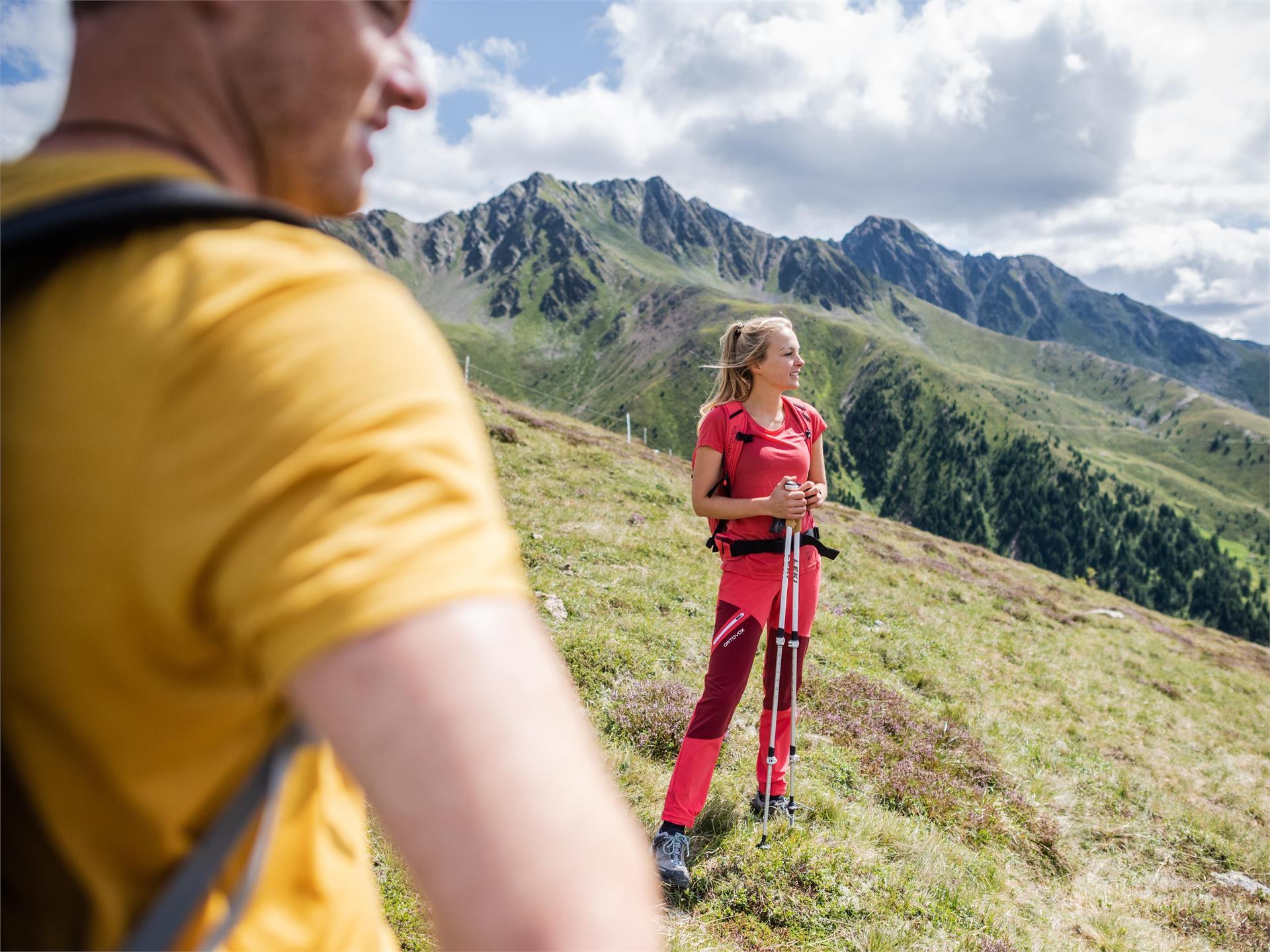
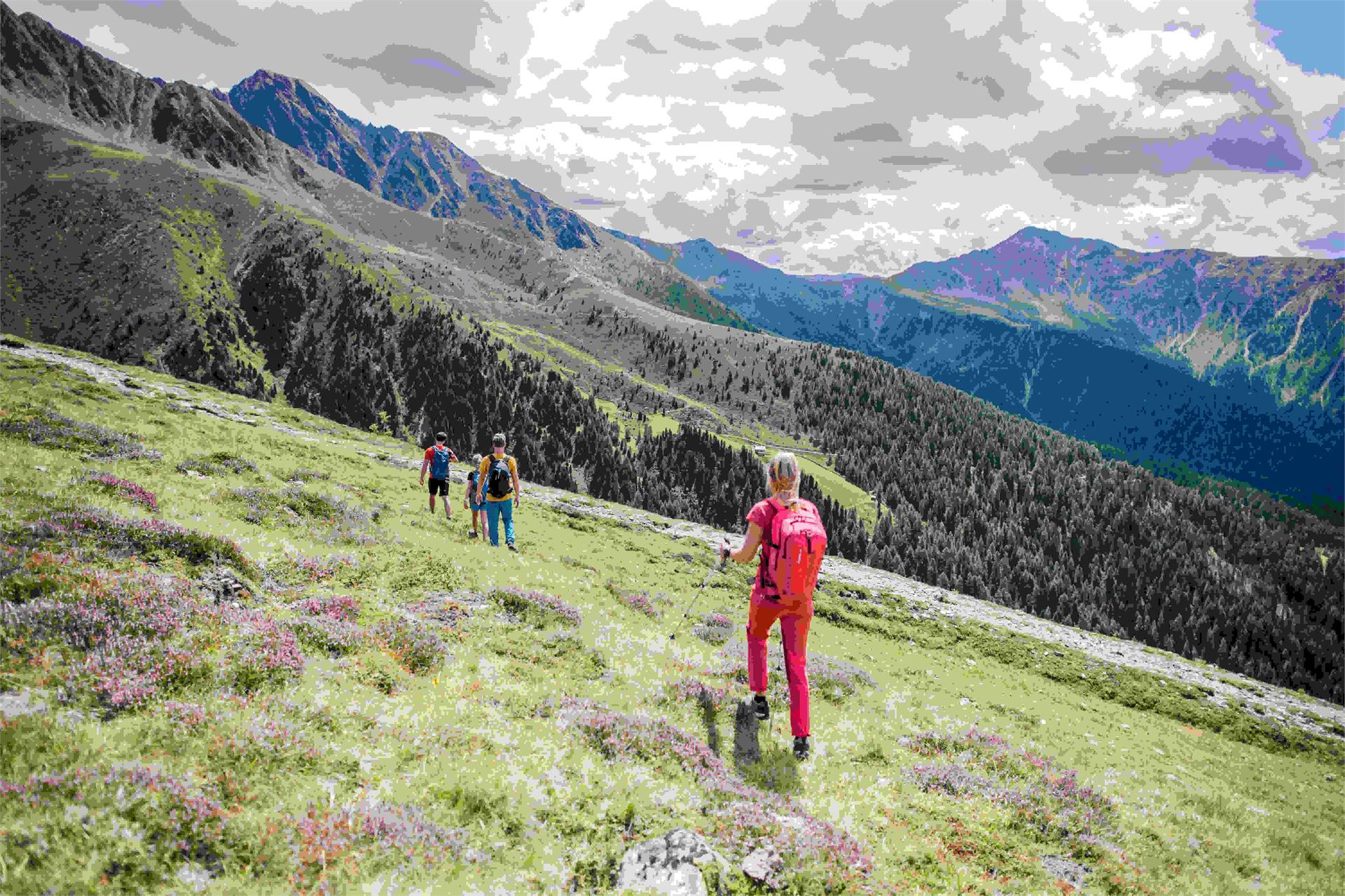
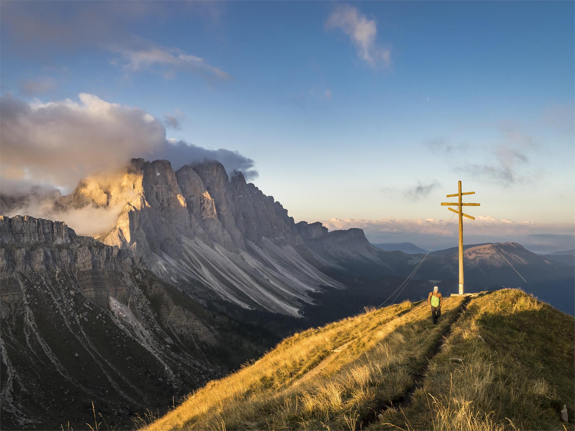
    Since 2002 the Via Alpina has been winding from Trieste (Italy) to Monaco, from the Adriatic sea to the Mediterranean, its 5000 kilometres of walking tracks marked out into 5 trails through eight European countries: Slovenia, Italy, Austria, Germany, Liechtenstein, Switzerland, France and the Principality of Monaco.

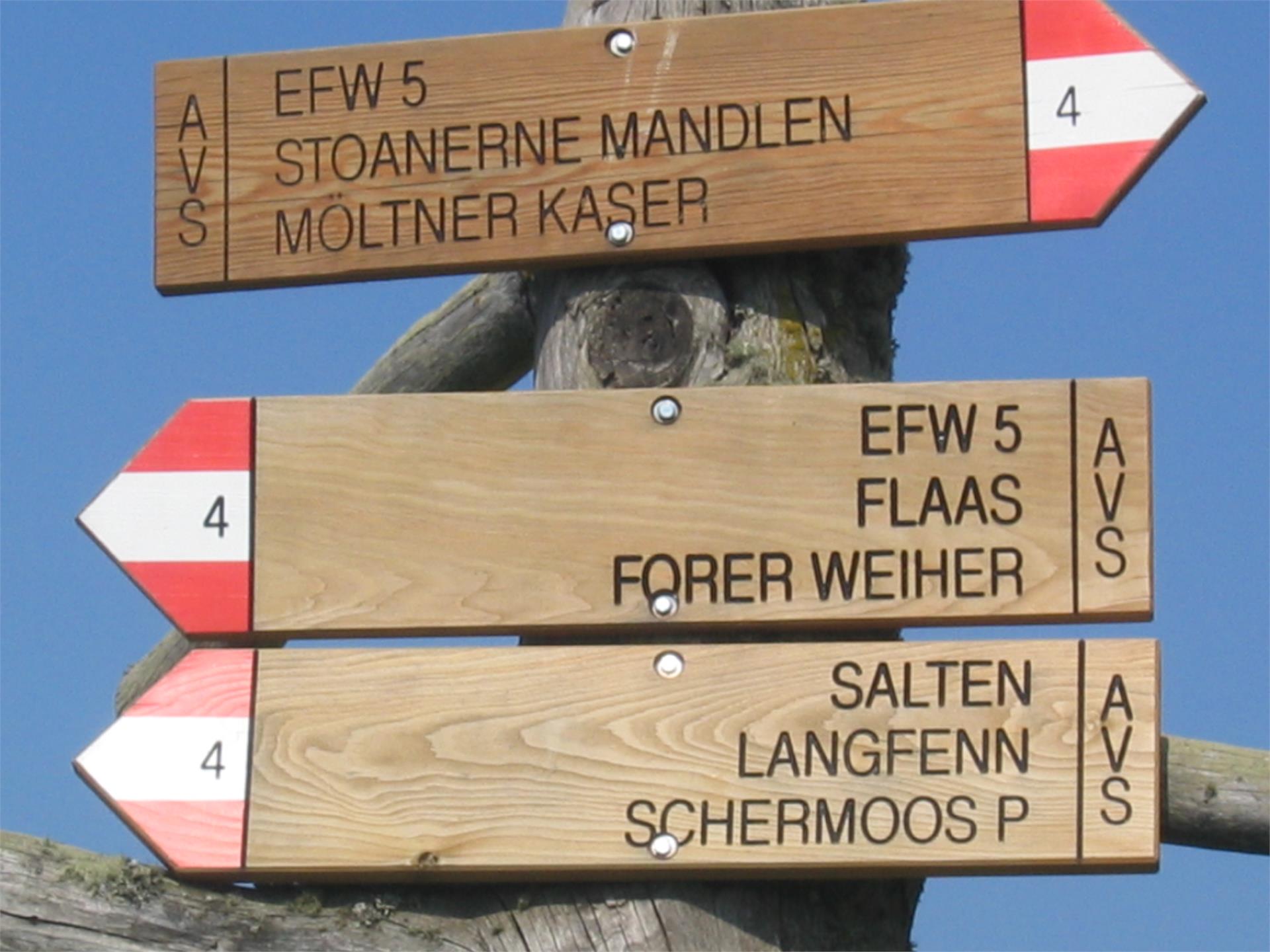
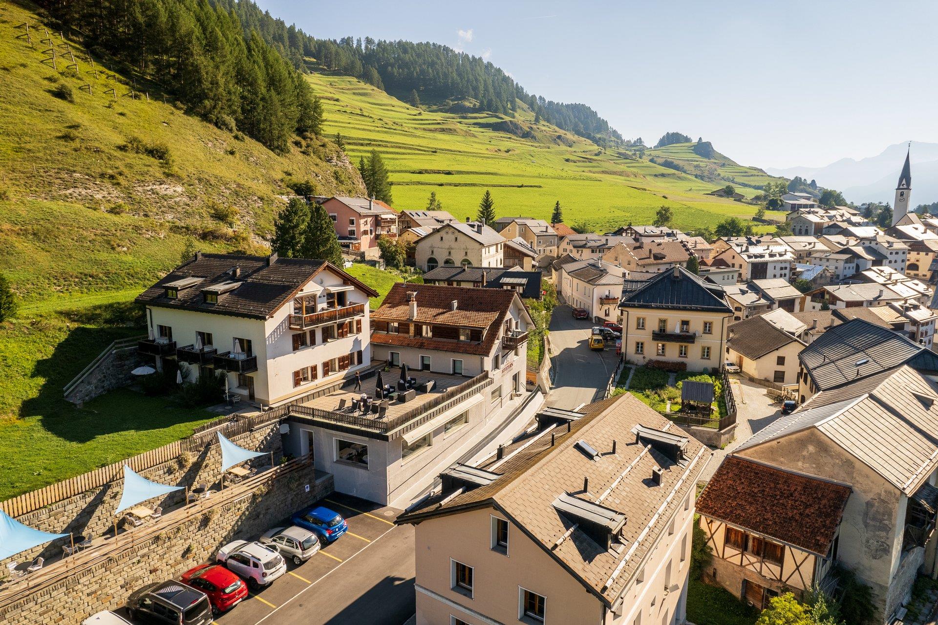
    The Via Alpina also crosses the Antholz Valley: 

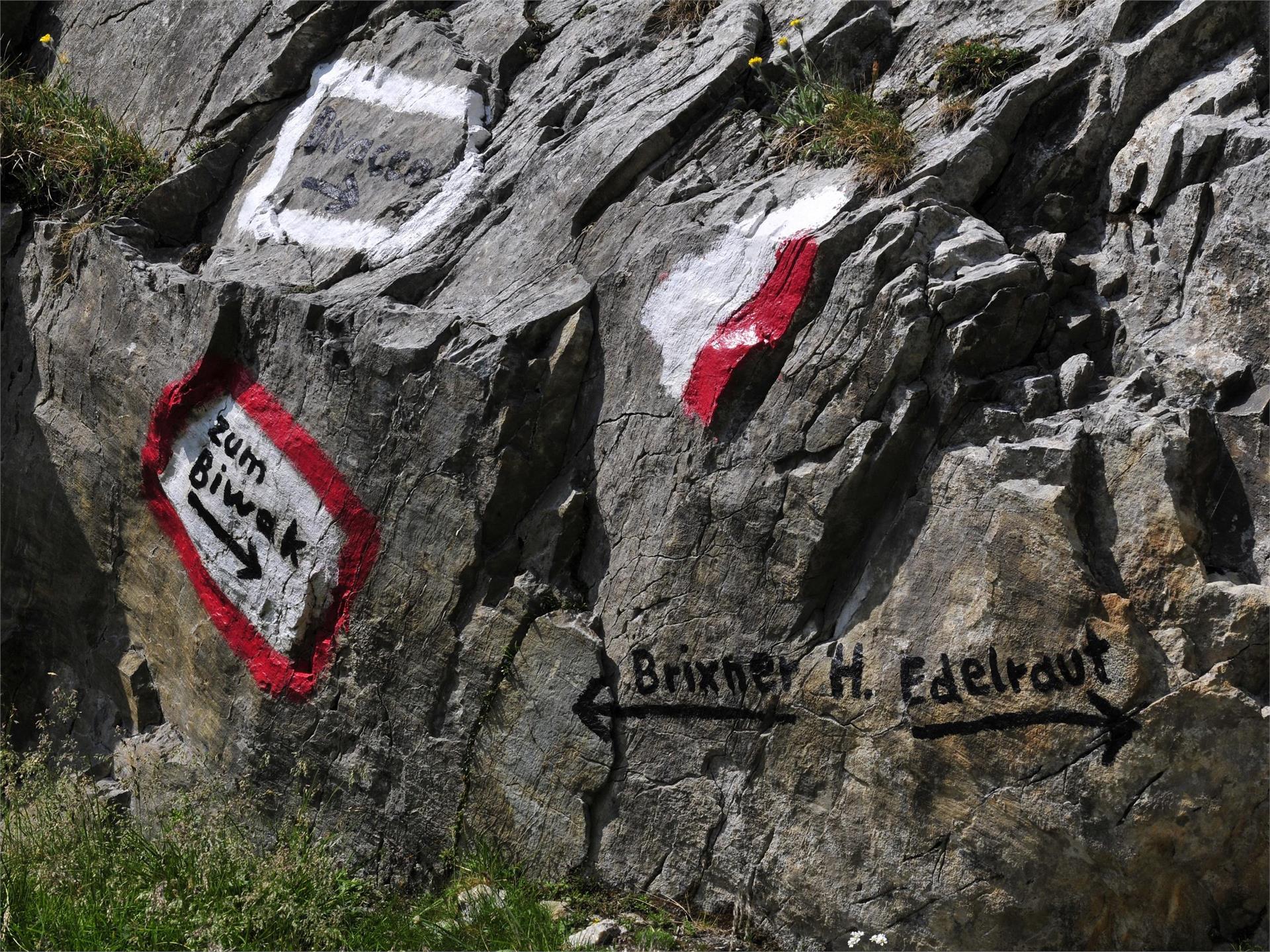
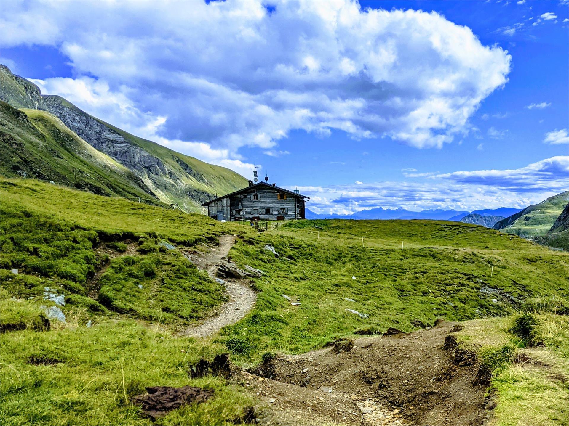
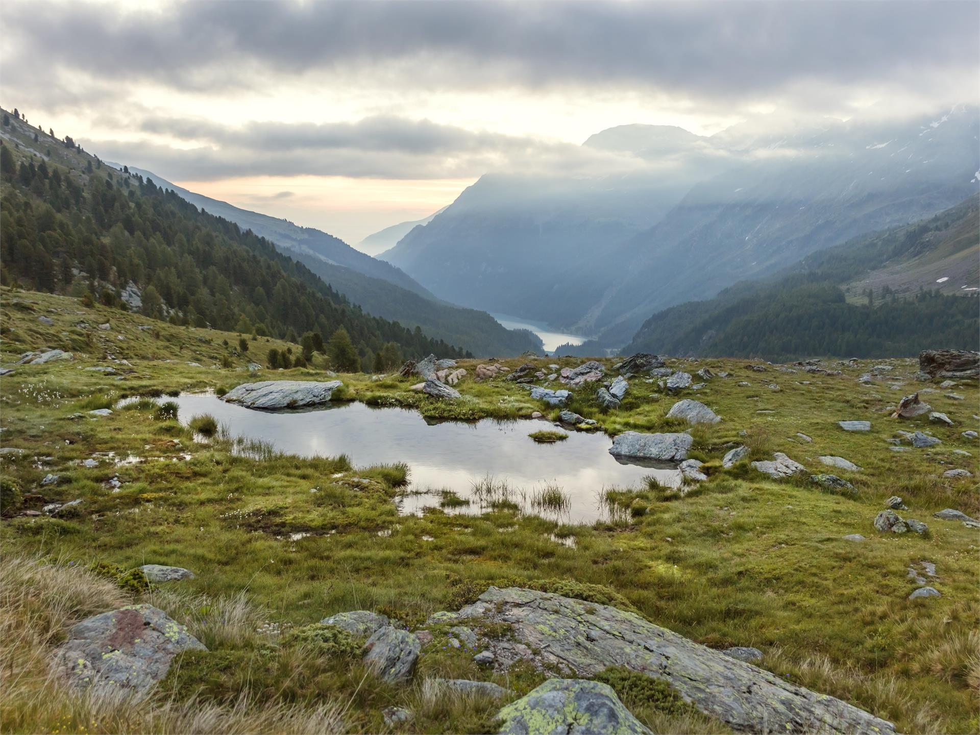
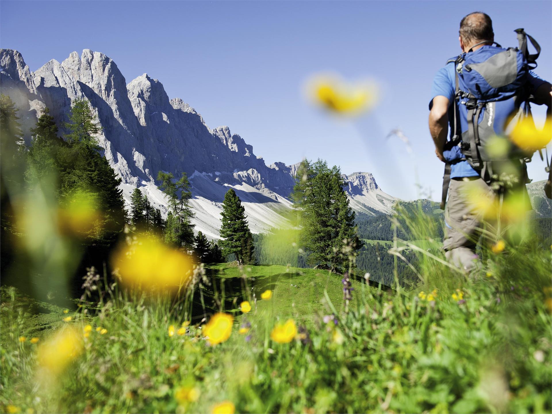
    The stage starts from St. Martin in Gsies, leading to the innermost part of the Karbachtal valley and then over into the Antholz valley. Follow the Karbach and Hundsbach streams to reach the Ochsenfelder meadows. Track 42 leads over the Grüblscharte (2,394m) to the Grüblalm hut in Antholz. From there, take woodland trail 9 or 1 to Anhtholz Mittertal, the stage destination at approx. 1,250 m.

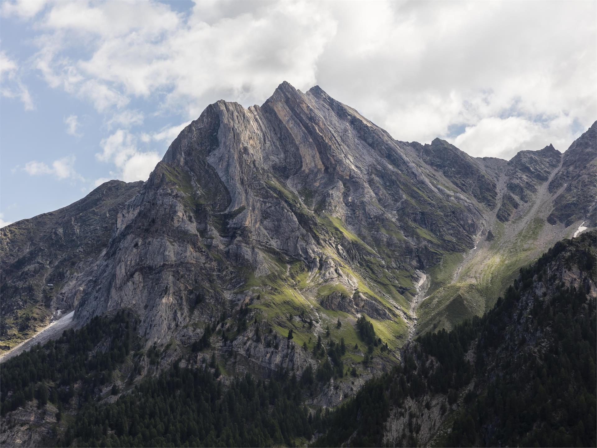
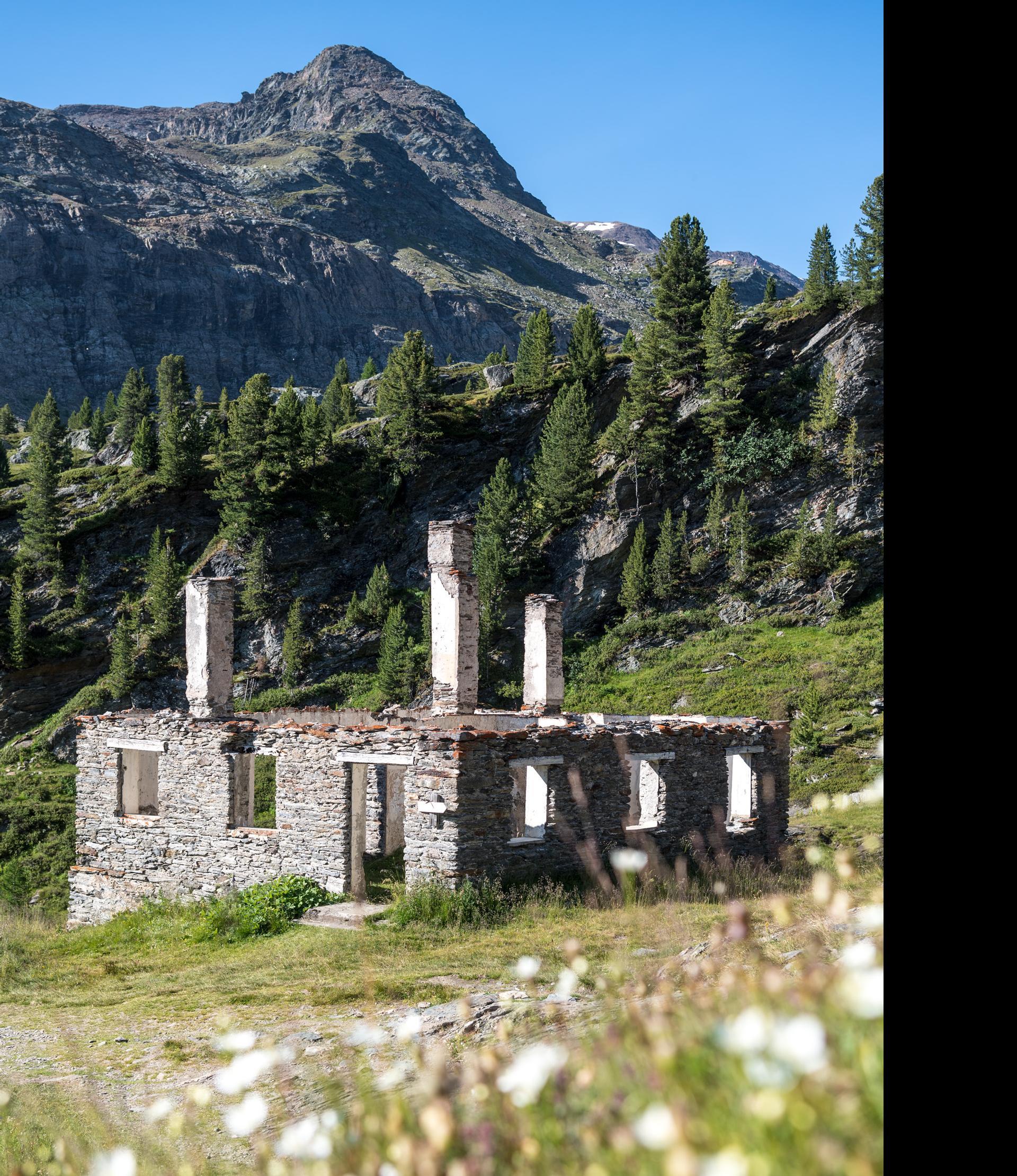
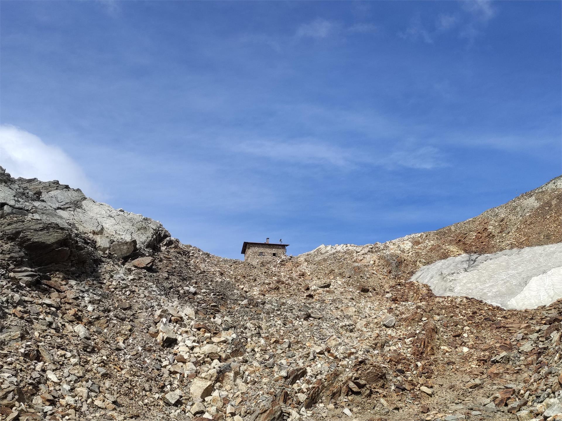
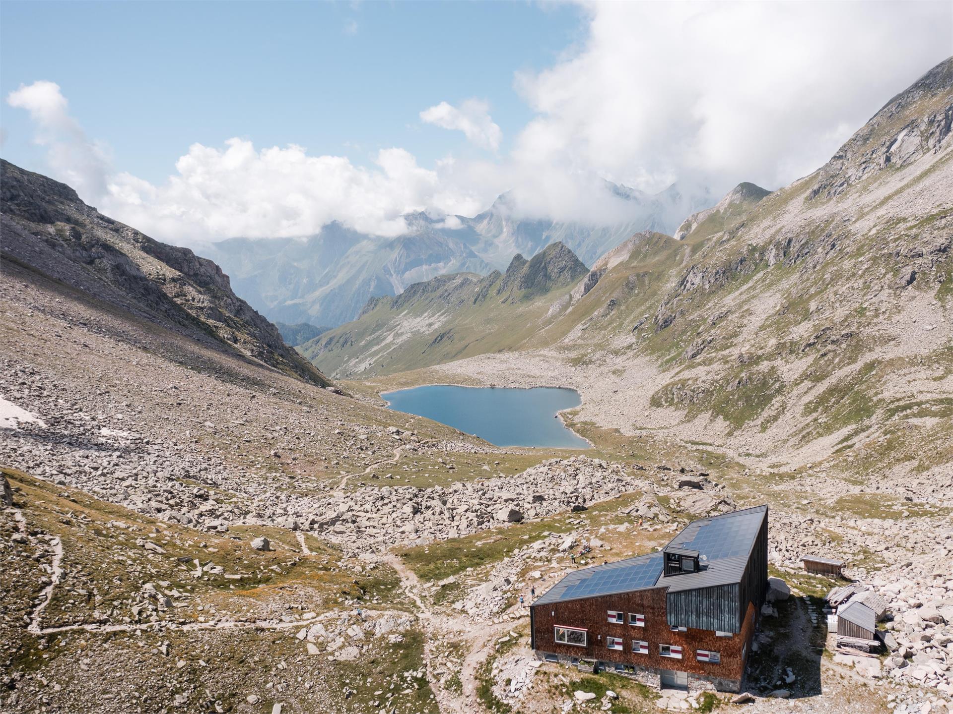
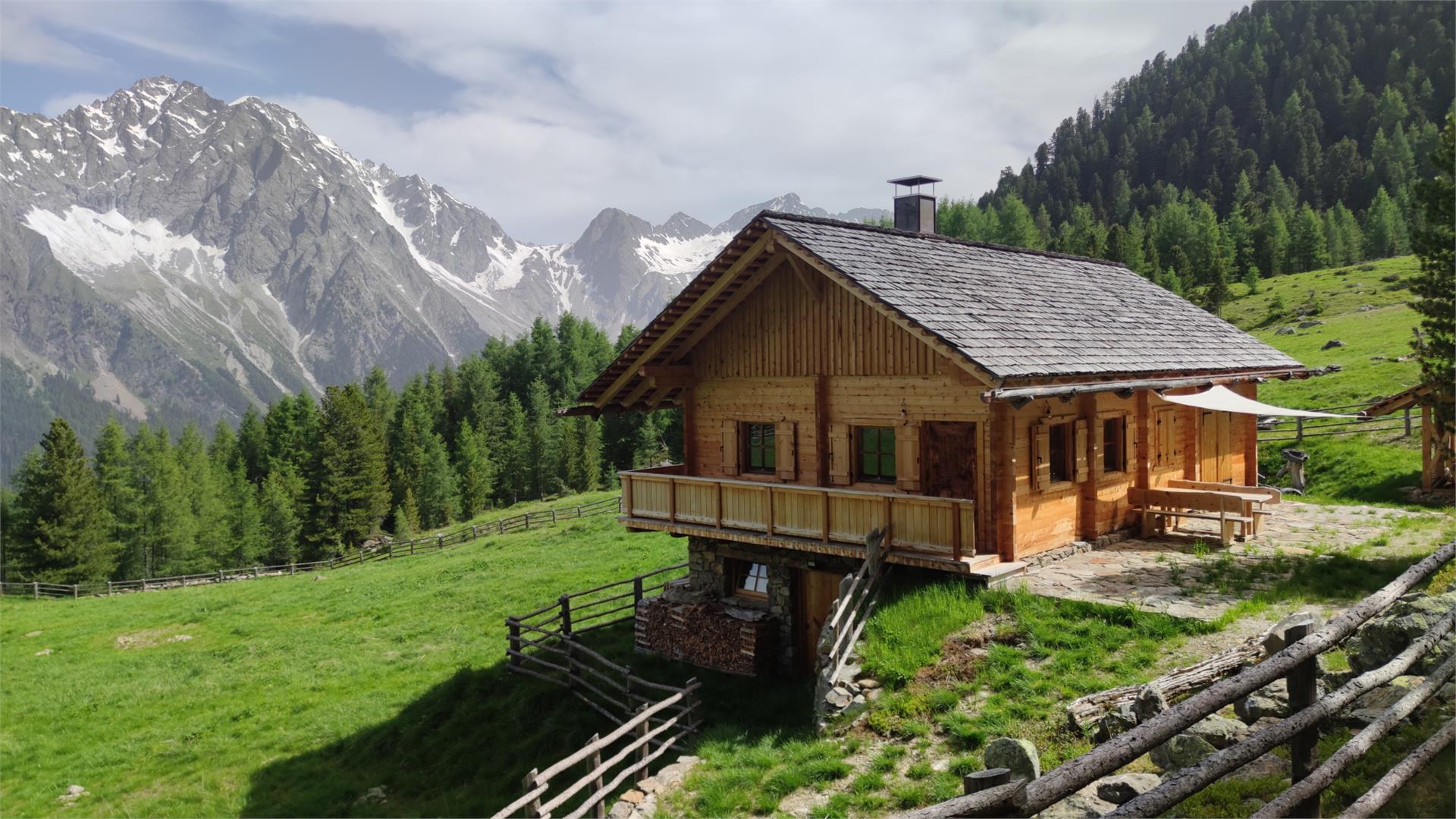
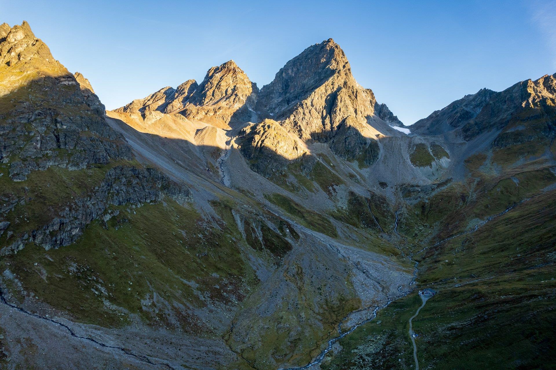
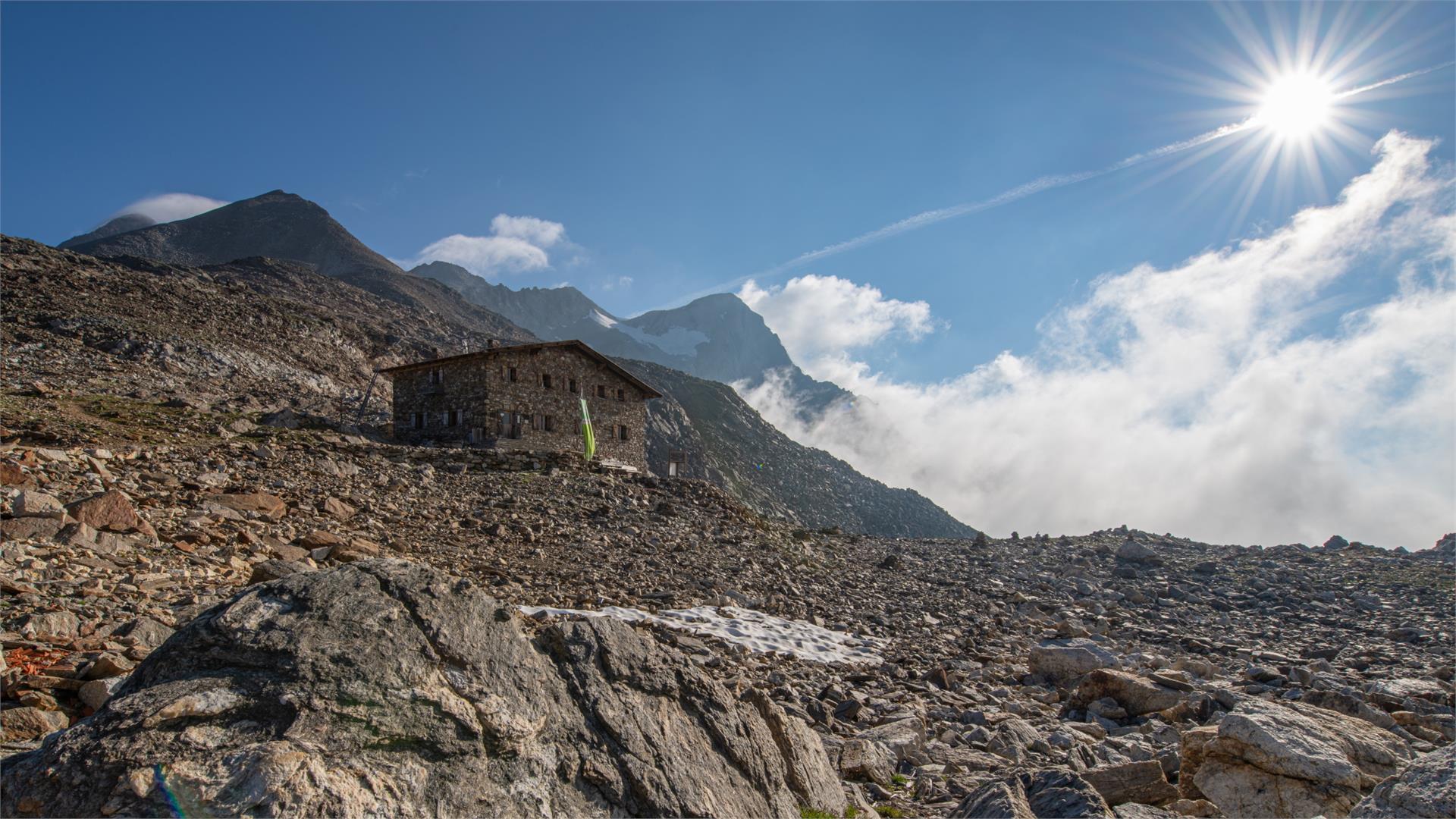
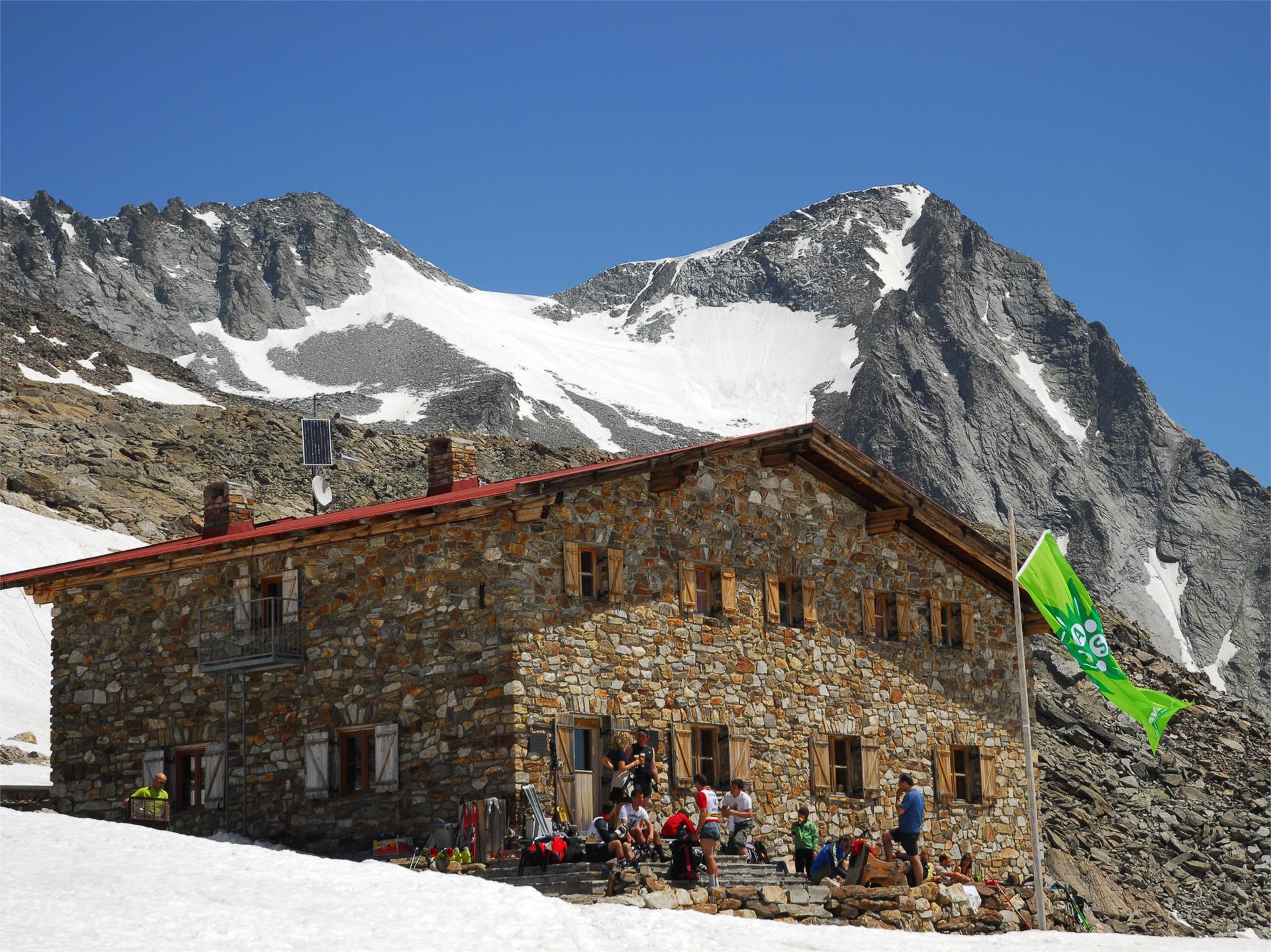
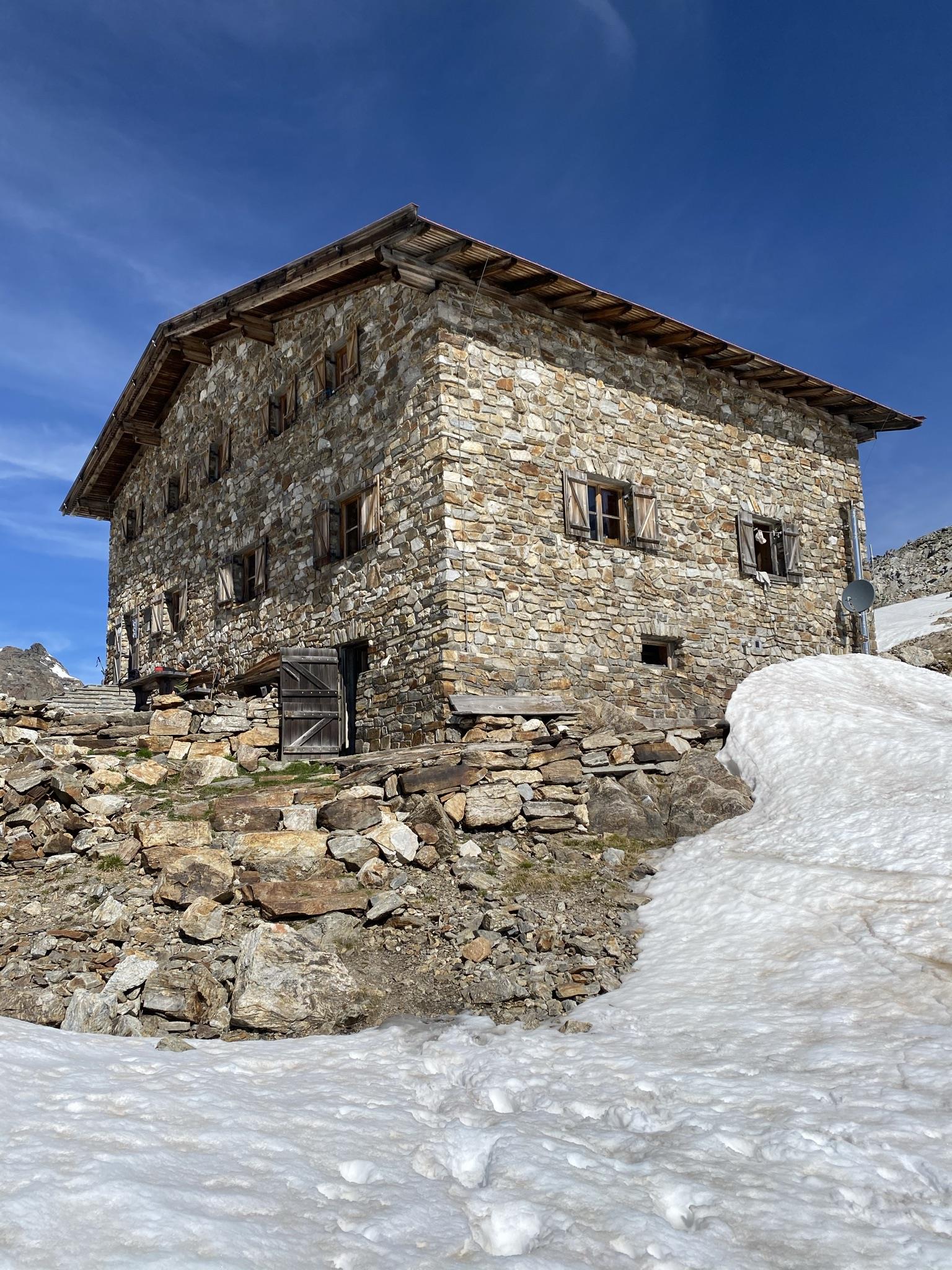
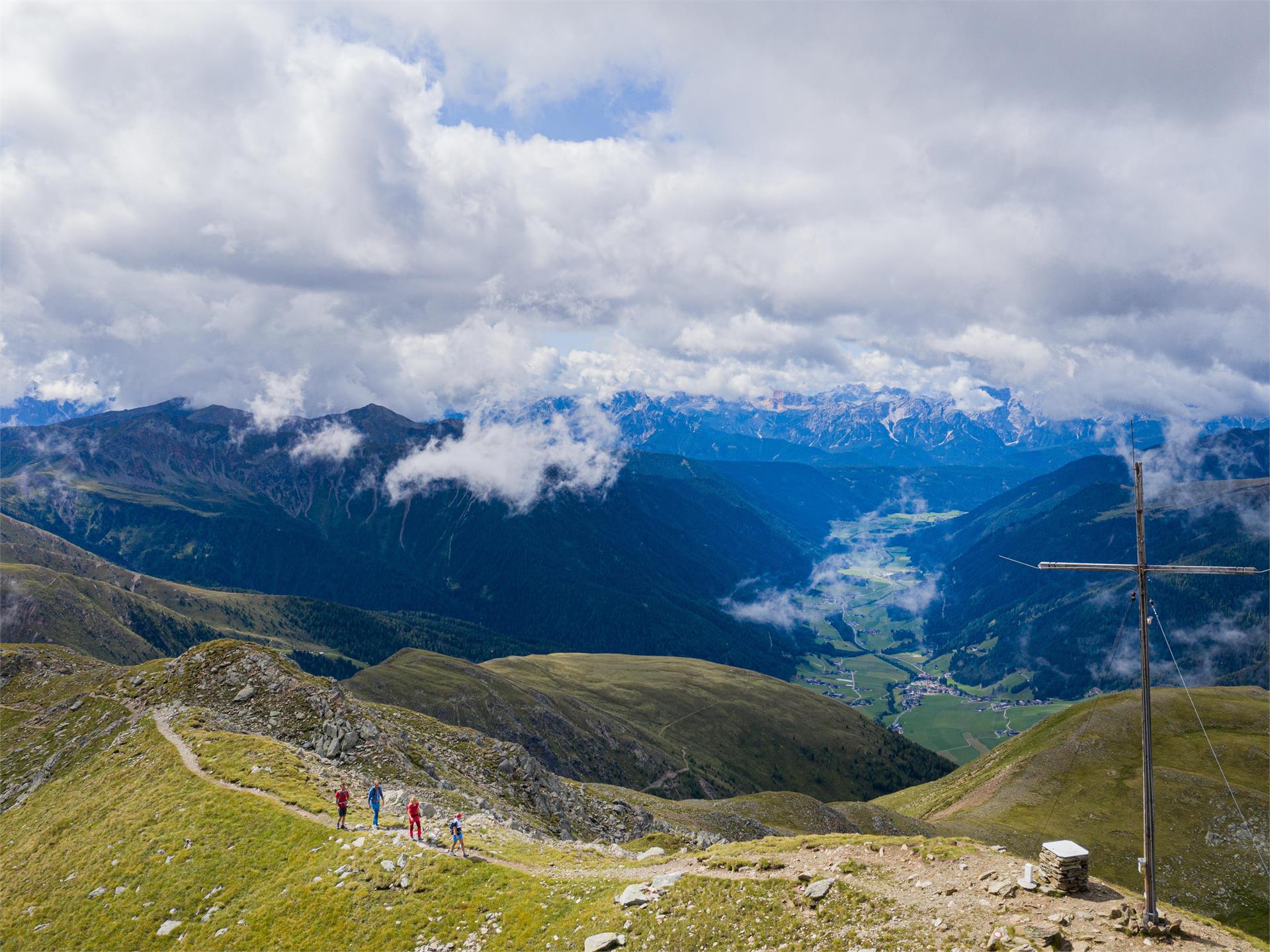
    From Antholz Mittertal (1,240m), the trail first of all heads uphill through woodland below the wild precipices of the Magerstein and winds in numerous hairpin bends up the steep debris-strewn slopes until reaching a small, secured section through a glacier trough and soon afterwards the Rieserfernerhütte hut (2,792m).

    Obtížnost: vysoká
    2613 m nadmořská výška
    9h:15 min doba trvání
    Long-Distance Hiking Paths
    Long distance hike 2nd stage: Chamonna Tuoi CAS - Ardez
    Vinschgau/Val Venosta
    The second stage starts on the Chamonna Tuoi CAS and leads over the Lai Blau to Alp Sura and along the tree line to the village of Ardez, with its striking "Steinsberg".


    The route starts below the mighty Piz Buin in the direction of the picturesque Lai Blau (2,613 m above sea level), where it is worth taking a short break. Along the western flank you reach Alp Sura, which offers the ideal view for a short lunch break. Above the tree line with a magnificent view of the Lower Engadine and the unique villages, you hike via the hamlet of Munt d'Ardez to Ardez, the second stage destination.
    Obtížnost: střední
    435 m nadmořská výška
    4h:19 min doba trvání
    Long-Distance Hiking Paths
    2 valley trail
    Rasen-Antholz/Rasun Anterselva, Dolomites Region Kronplatz/Plan de Corones

    The "2 Täler Trail" starts in Hopfgarten in Defereggen, heads along the Staller Saddle mountain pass and ends in Niederrasen in the Antholzertal Valley. Six daily stages spanning a total of 90 kilometres lie in store for hikers. This trail is the middle ground between a high-alpine long-distance trail and a monotonous valley hiking path. It snakes along the middle altitudinal zone between high-alpine terrain and valley floors. Hikers can enjoy the unique views of the valley’s villages and the snow-capped mountain peaks as they forge their way across the Lasörling Group, Villgraten Mountains and the three-thousanders in the Rieserferner Group. Metaphorically speaking, this entire route is a balcony to the Alps. At the end of each daily stage, hikers reach a village where they have the option of staying in a guest house, an inn or a hotel.

    Obtížnost: vysoká
    5575 m nadmořská výška
    29h:00 min doba trvání
    Long-Distance Hiking Paths
    European hiking trail E5 through the Tschögglberg
    Jenesien/San Genesio Atesino, Bolzano/Bozen and environs
    One of the most beautiful stages of the European long-distance hiking trail E5 runs across the Meraner Land, over the altopiano del salto to Bozen. The section between Hafling, Vöran, Mölten, Jenesien at about 2000 meters above sea level offers wonderful long-distance views over the Dolomites, the Texel Group and the Sarntal. The altopiano del salto sections are classified as non-dangerous and accessible all year round. Entry possibilities in Mölten, at the pascolo and at the altopiano del salto.
    Obtížnost: nízká
    116 m nadmořská výška
    3h:34 min doba trvání
    Long-Distance Hiking Paths
    Long-distance hiking trail: Bonner Höhenweg and Toblacher Pfannhorn (2663m)
    Gsies/Valle di Casies

    Panoramic trail with view towards the Dolomites

    Starting point: Val Casies Valley / S. Maddalena head of the valley
    Distance: 24,5 km
    Descent: circular hike
    Walking time: 08:50 h
    Difficulty: difficult
    Difference in altitude: 1203 m
    Information: It is also possible to divide the distance into a 2 days hike with over night-stay at the Bonner Hütte hut (from Toblacher Pfannhorn 30 min. downhill following trail mark n° 25) | www.suedtirolmobil.info - Lin. 441

    Obtížnost: střední
    1666 m nadmořská výška
    8h:07 min doba trvání
    Long-Distance Hiking Paths
    Multiday Hike - Alpine Pearls - 5. stage
    Deutschnofen/Nova Ponente, Dolomites Region Eggental

    The last stage begins in Deutschnofen | Nova Ponente and leads along a picturesque path to the Wölfl farm. From there, the route continues downhill through idyllic landscapes to restaurant Sonne in Eggental | Val d' Ega. Via the Alpine Pearls trail, you walk past St. Veit and Karneid | Cornedo, always downhill through the beautiful valley back to Kardaun | Cardano.

    Obtížnost: střední
    495 m nadmořská výška
    5h:22 min doba trvání
    Long-Distance Hiking Paths
    Multi-Day hike from the Catinaccio to the Sciliar - 4. Stage
    Tiers am Rosengarten/Tires al Catinaccio, Dolomites Region Eggental

    The fourth day begins with the descent from the sella Cavaccio trough the Orsara to San Cipriano. The valle Nigra path brings to the Passo Nigra and also back to the starting point Nova Levante.

    Obtížnost: vysoká
    772 m nadmořská výška
    6h:24 min doba trvání
    Long-Distance Hiking Paths
    The Pfunderer high altitude trail
    Bruneck/Brunico, Brixen/Bressanone and environs

    The Pfunderer high altitude trail is a spectacular and challenging multi-day hike in South Tyrol, leading hikers through the stunning mountain landscapes of the Pfunderer Alps. Spanning approximately 70 kilometers with 5,600 meters of elevation gain, the trail offers breathtaking views, wild alpine terrain, and exhilarating challenges. The route stretches from Sterzing  in the north to St. Georgen near Bruneck  in the south, connecting secluded valleys, lush alpine meadows, idyllic mountain lakes, and panoramic peaks.

    This tour is ideal for experienced hikers with strong stamina and surefootedness, who enjoy the solitude of the mountains. The route is divided into 6 stages, with daily hiking times between 3 and 7 hours. Conveniently located huts along the way provide rest and refreshments, allowing hikers to recharge.

    Due to the high altitude and alpine nature of the Pfunderer high altitude trail, careful planning is essential. Reservations at huts in advance and up-to-date information on trail conditions are important for a safe and enjoyable hiking experience.


    Obtížnost: vysoká
    5606 m nadmořská výška
    8h:00 min doba trvání
    Long-Distance Hiking Paths
    Multi-Day hike from the Catinaccio to the Sciliar
    Welschnofen/Nova Levante, Dolomites Region Eggental

    Challenging and unique multi-day hike from the area of the Catinaccio to the area of the Sciliar.

    Attention: there are some snowfields. For accessibility, mountain experience and the appropriate equipment are required (good hiking boots, hiking poles and possibly crampons).


    Obtížnost: vysoká
    4209 m nadmořská výška
    17h:49 min doba trvání
    Long-Distance Hiking Paths
    Long-distance hiking trail: “Alpini Steig” in the Val Casies Valley
    Gsies/Valle di Casies

    Circular hike from the Val Casies Valley to the Passo Stalle Saddle

    Starting point: Val Casies Valley / S. Maddalena (1460m)
    Distance: 22 km
    Walking time: 09:00 h
    Difficulty: difficult
    Difference in altitude: 1266 m
    Information: www.suedtirolmobil.info - Lin. 441

    Obtížnost: vysoká
    1876 m nadmořská výška
    7h:49 min doba trvání
    Long-Distance Hiking Paths
    Family hike Watles
    Mals/Malles, Vinschgau/Val Venosta

    A leisurely hike on the Watles adventure mountain. Perfect for families, this tour leads from the Plantapatsch mountain hut through the picturesque forests of Watles.

    Obtížnost: nízká
    132 m nadmořská výška
    1h:19 min doba trvání
    Long-Distance Hiking Paths
    Parkingspace Falzeben -Mölten
    Hafling/Avelengo, Bolzano/Bozen and environs

    Our day on the mountains starts at Falzeben to reach the Meranerhütte. On the way you frequently pass  different alpine huts where you can have a rest. For example, the "Zuegghütte", the "Rotwandhütte" or the "Waidmannalm". From the "Meraner Hütte" (1937m), you will pass the ridge "Kreuzjöchl" (1981m) to the mountain "Kartoffel" (2084m), the highest point of this hike. Crossing the ridge "Auener Jöchel" (1925m), you will descend to the "Stoanernen Mandlen" (2003m) and finally to the "Möltner Kaser" (1766m). Here you can always walk over gentle alpine meadows and on the "Stoanernen Mandlen" you have a particularly good view of the nearby Dolomites. Via "Möltner Joch" you will reach the parking space Schermoos and Meltina.

    Obtížnost: vysoká
    669 m nadmořská výška
    5h:58 min doba trvání
    1 2 3 4 5 6