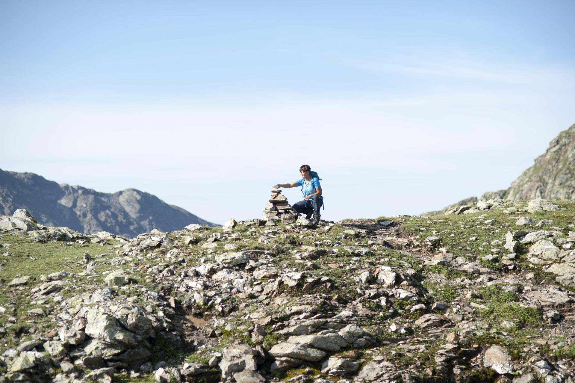
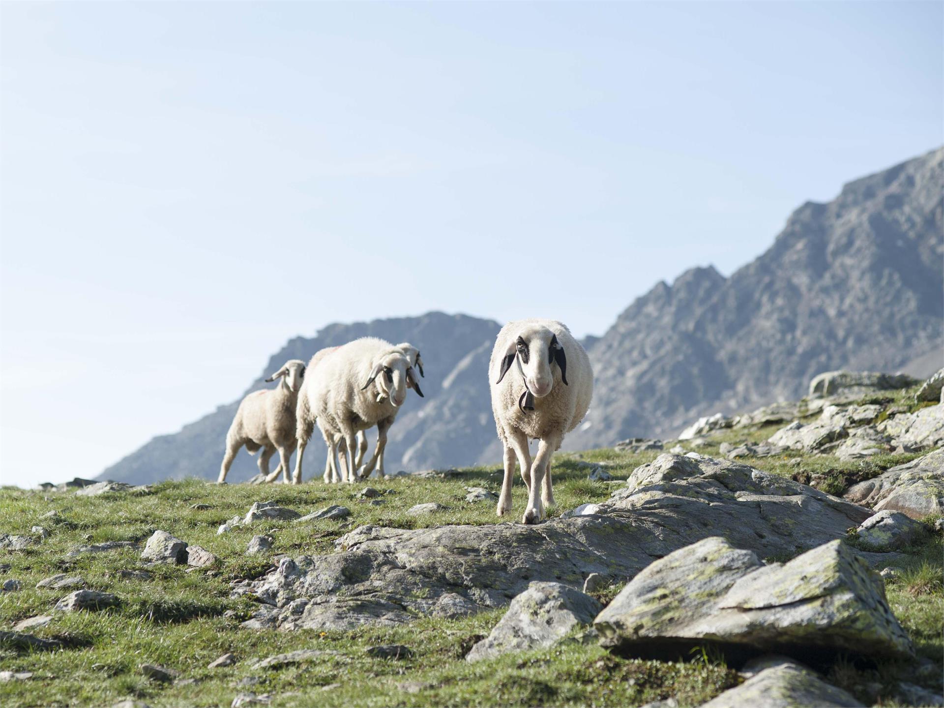
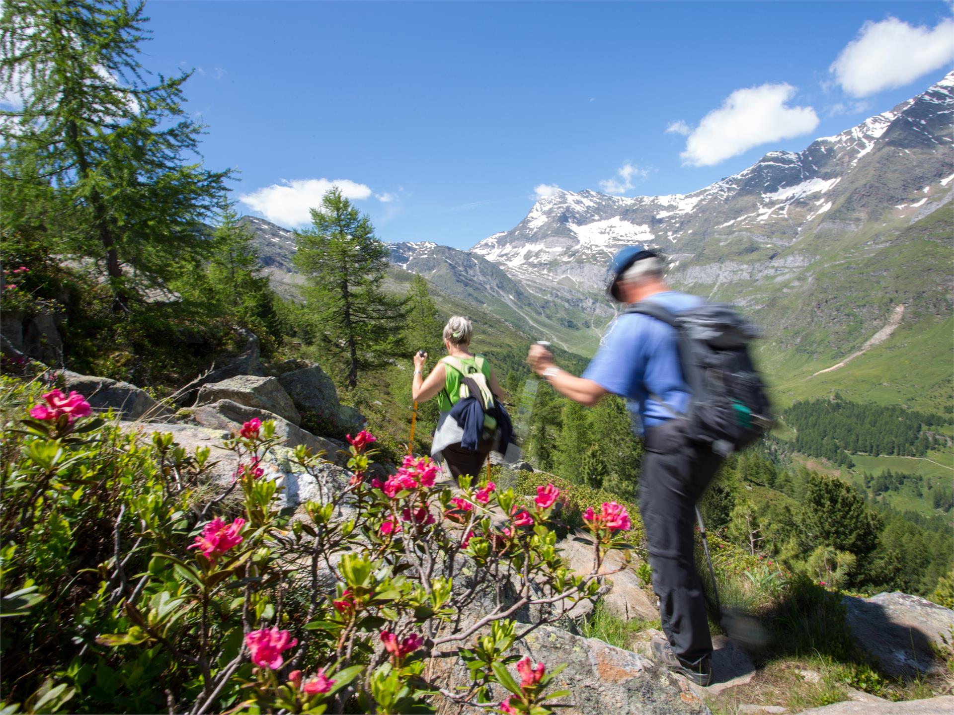
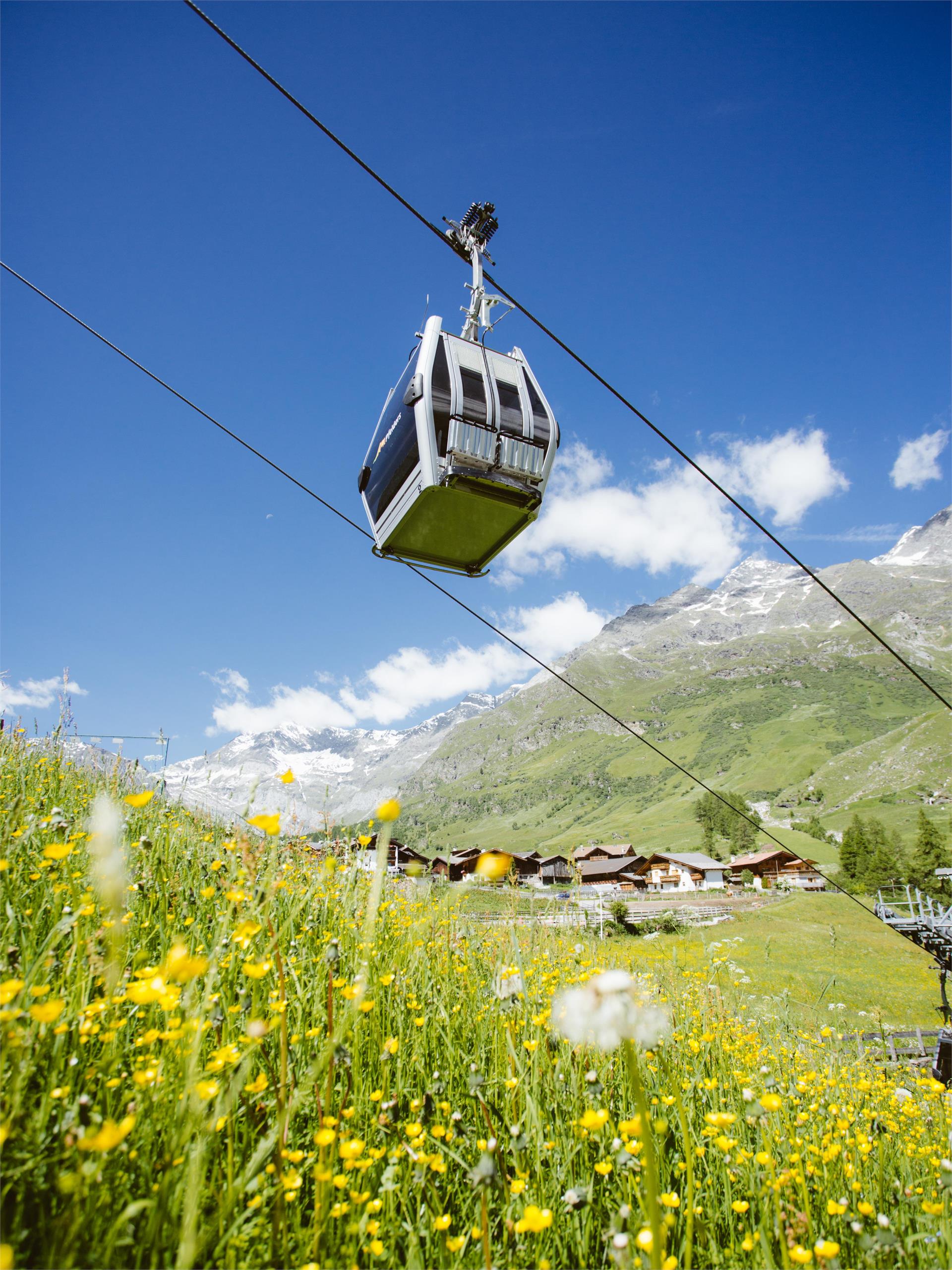
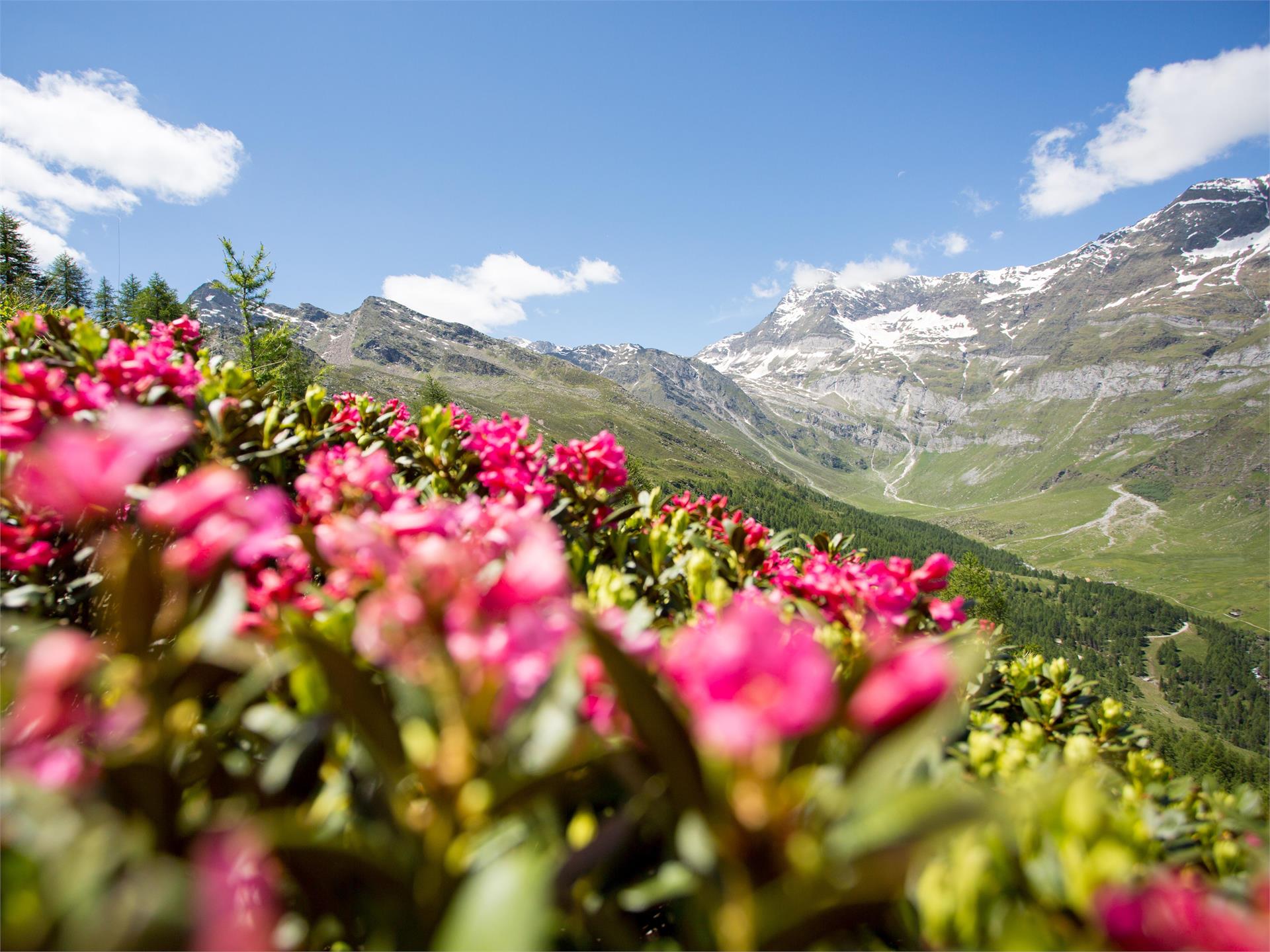
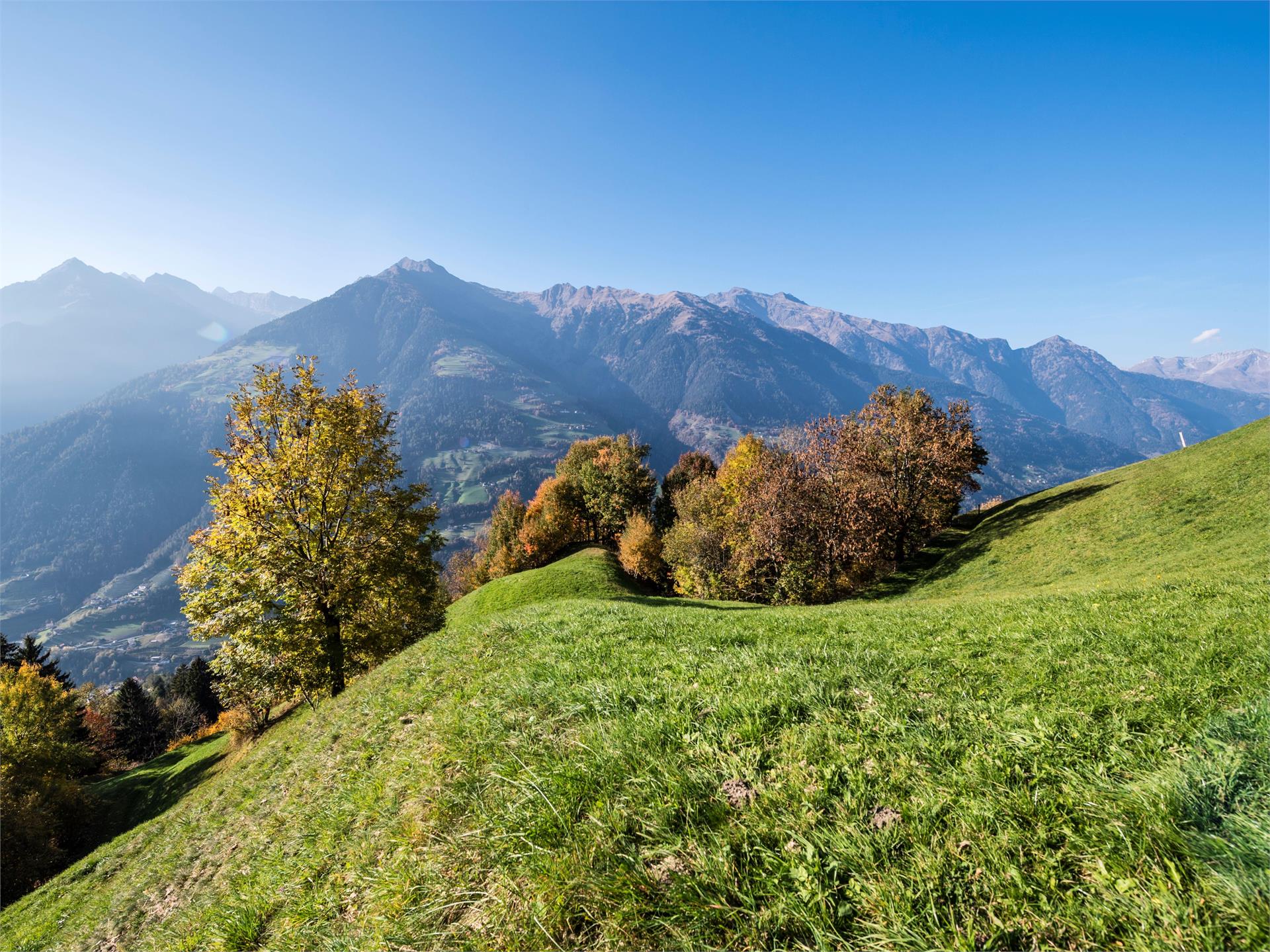
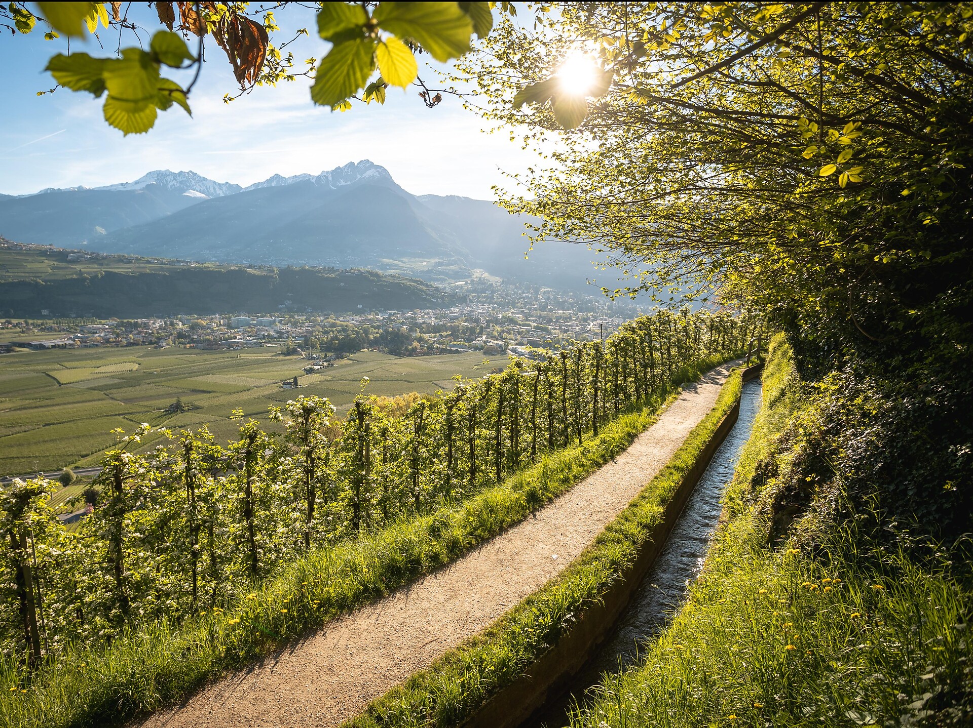
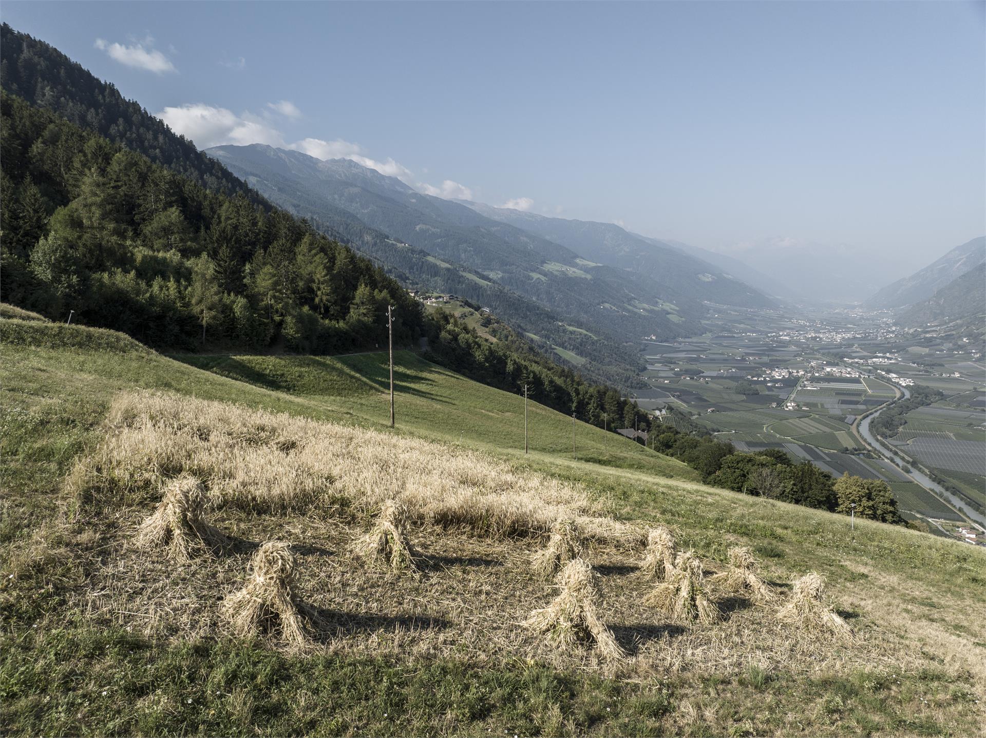
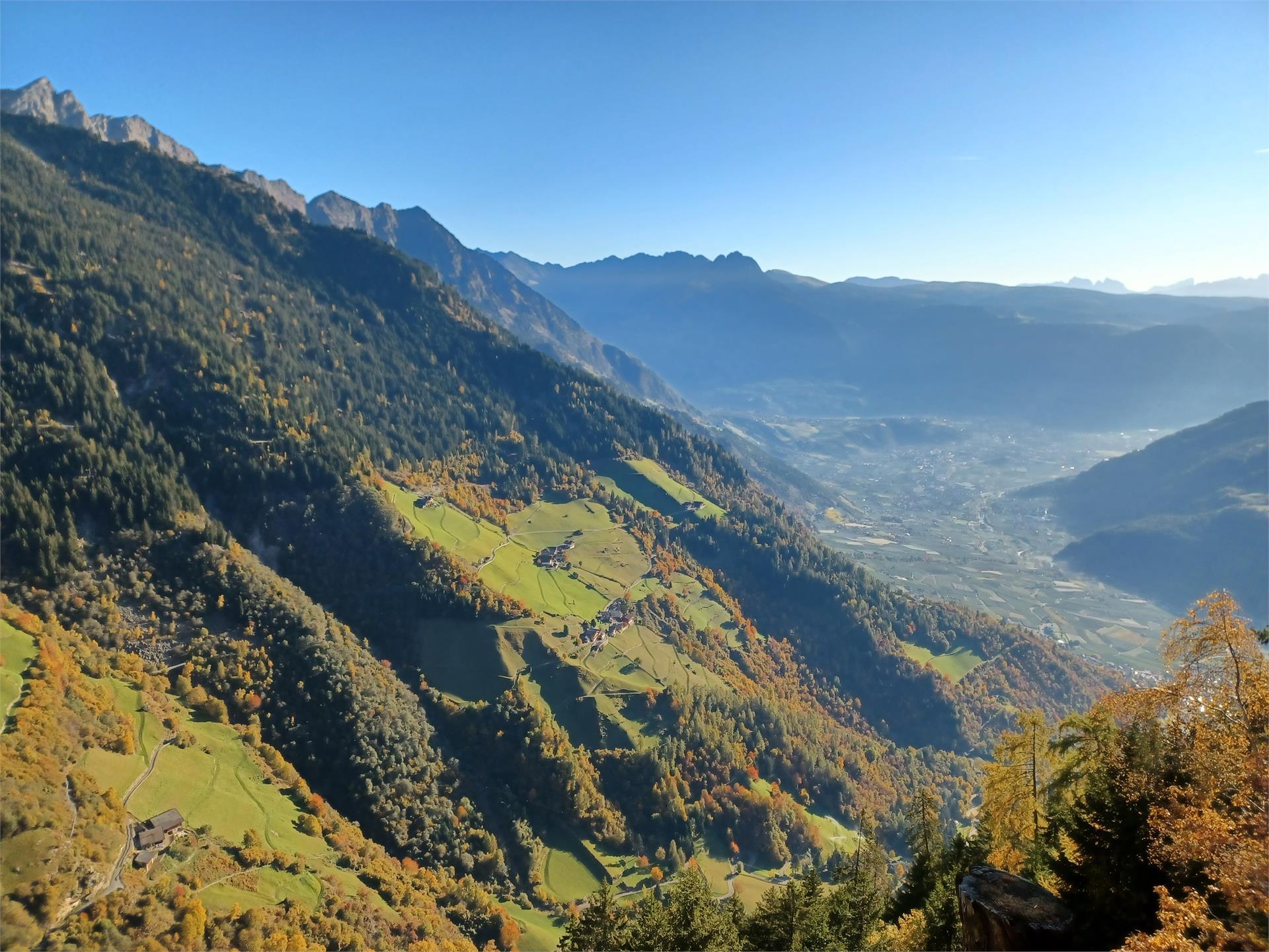
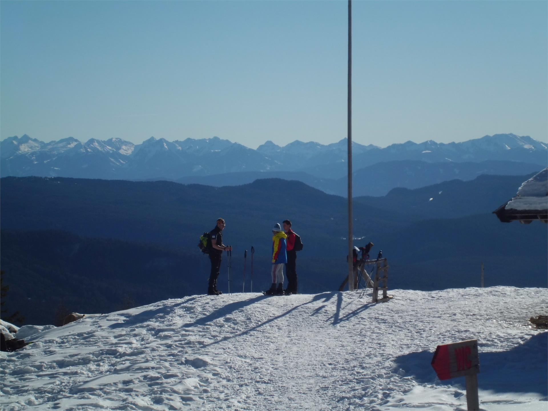
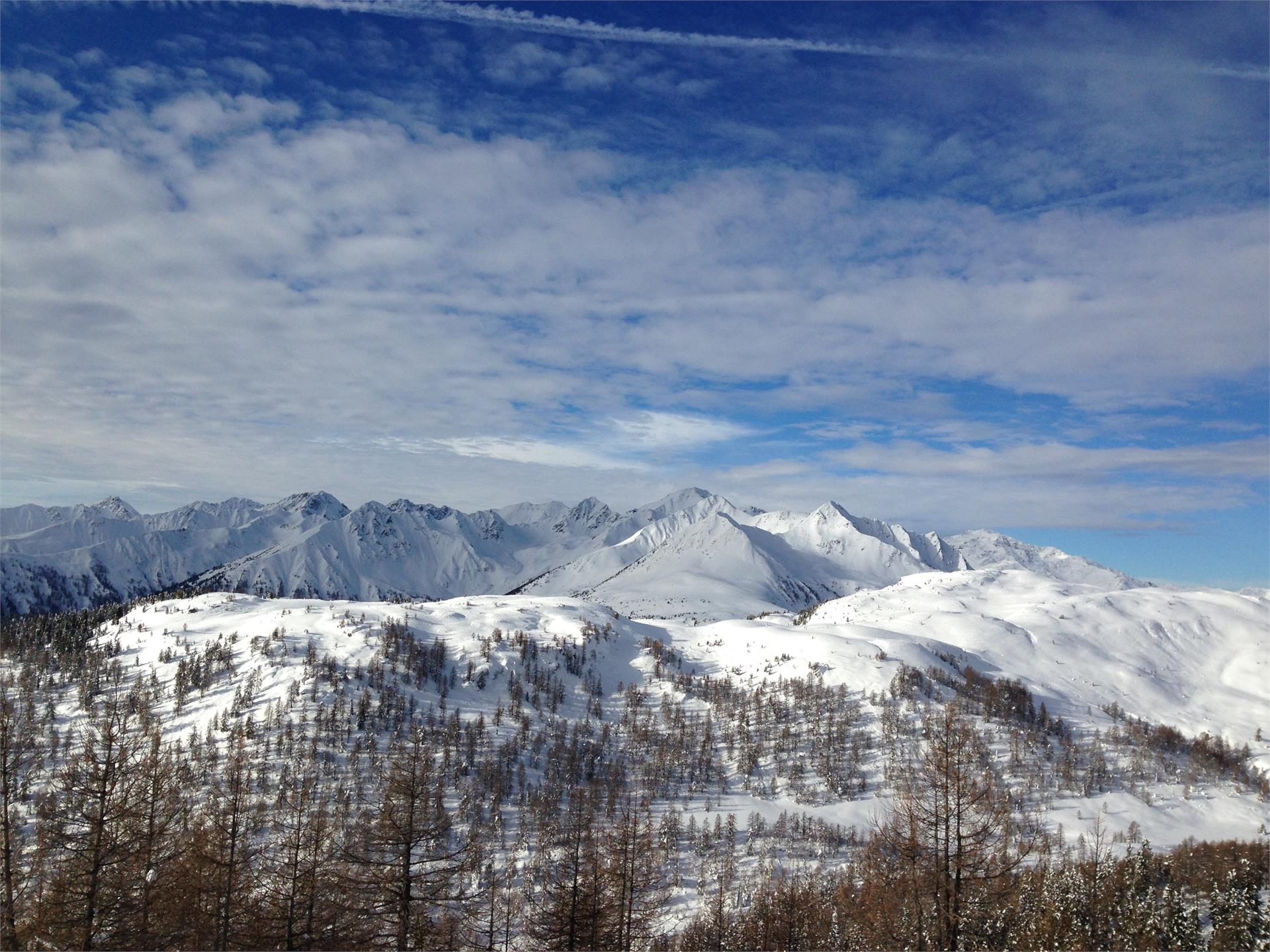
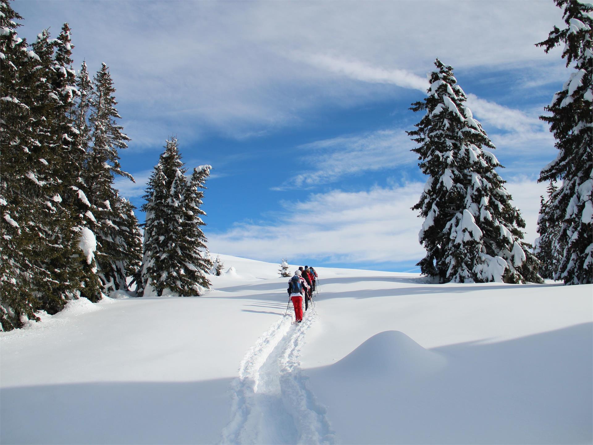
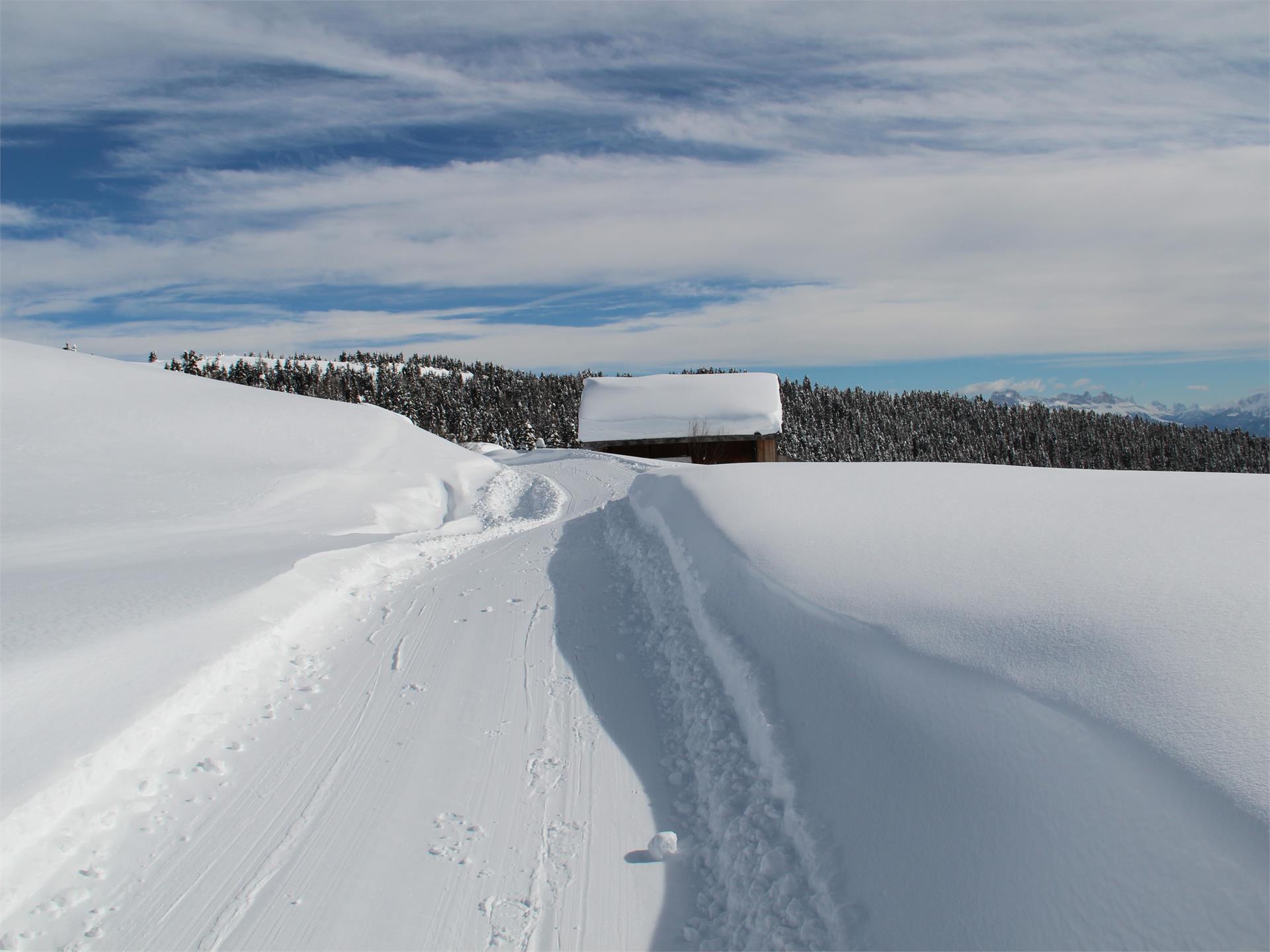
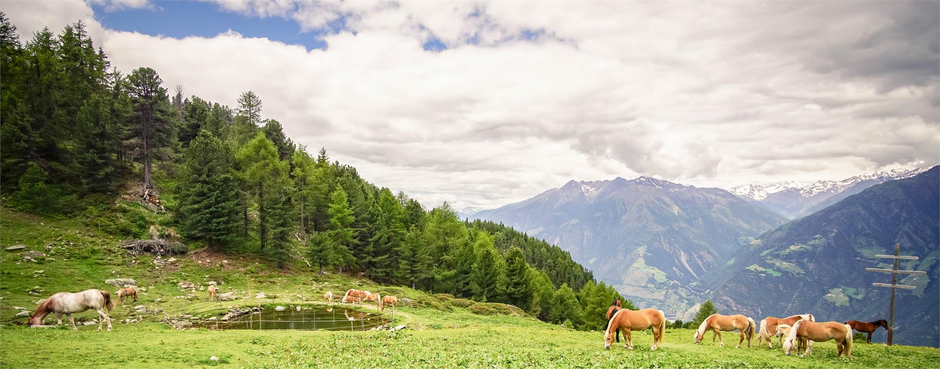
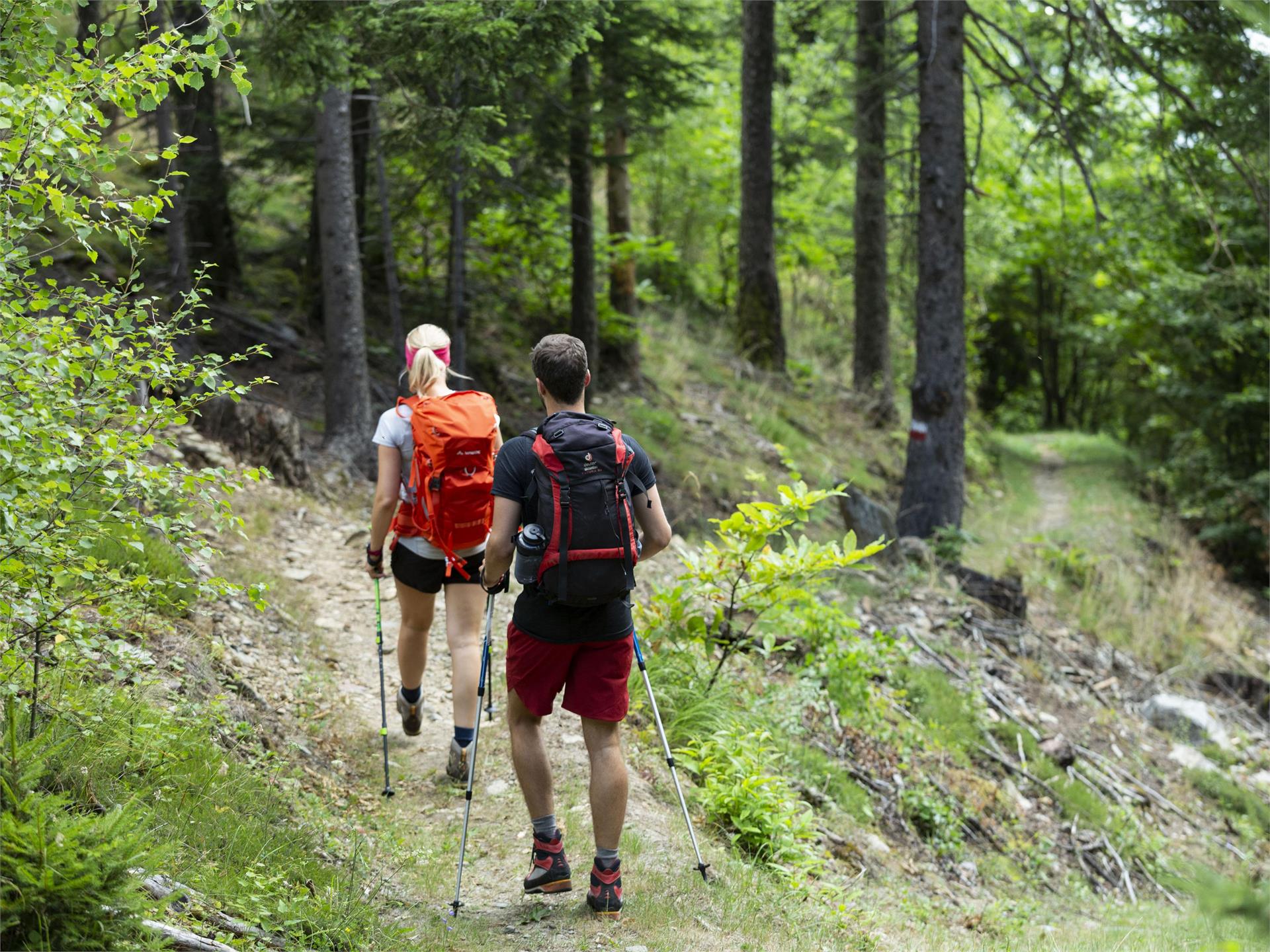
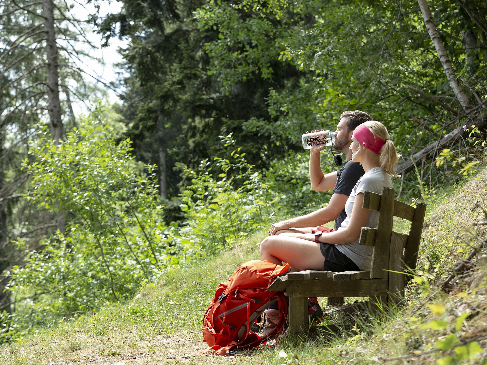
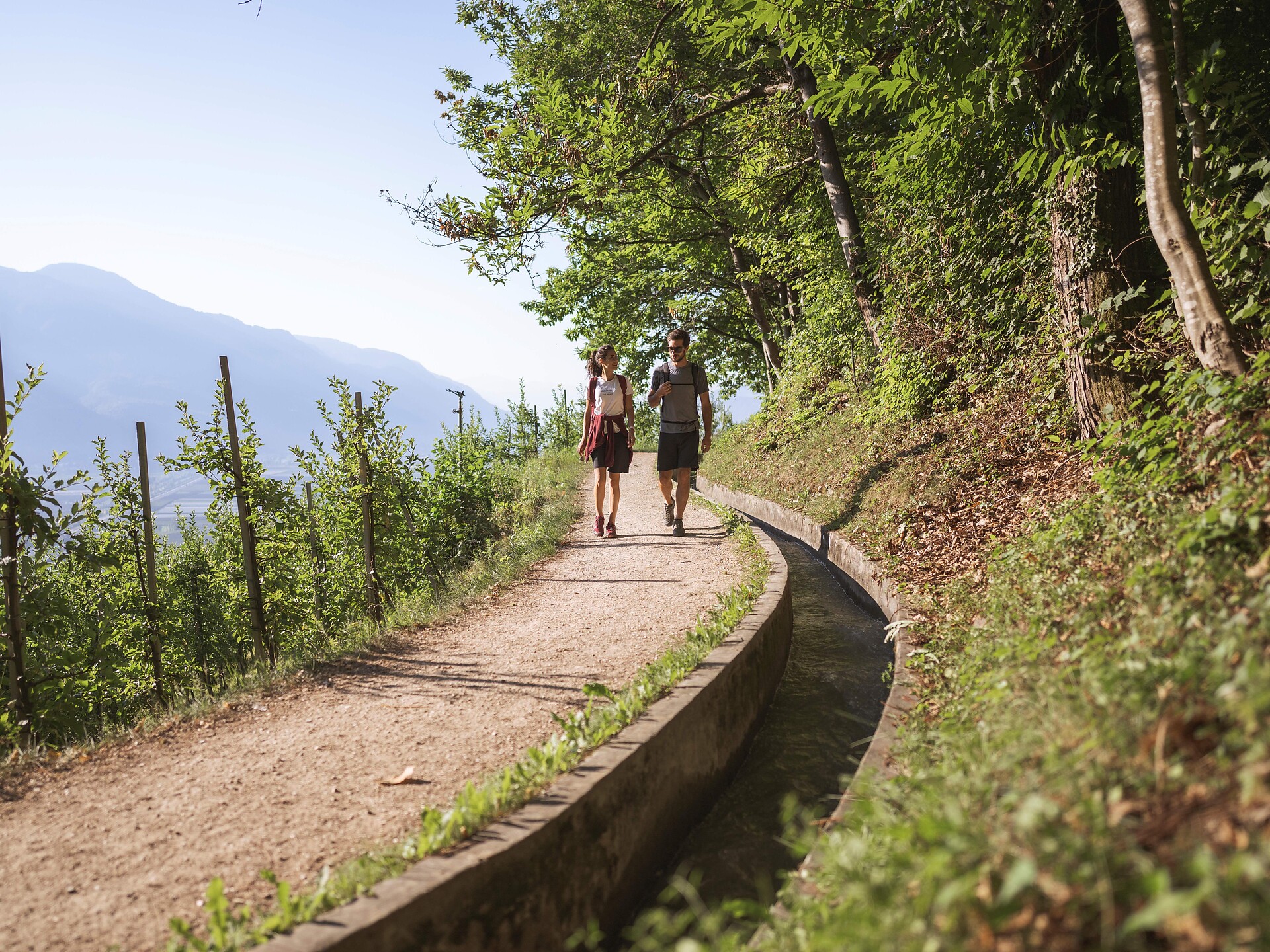
Merano a okolí nabízí úžasné turistické stezky s nádhernými výhledy a malebnou přírodou. |
Starting from the inn Alpenrose the path leads to the church. Before reaching the church, turn left at a little supermarket and continue walking through meadows till you nearly reach the housing area “Sagstatt”. At the little chapel turn right and take the way uphill. You’ll pass the “Auerhof” and then continue walking to the “Wanserhof”. From there the path leads through meadows and forest and back to the inn “Innerwalten”. Follow the pavement for about 200 m till you reach the inn “Jägerhof”, then turn left and follow the signposts. After about 30 min. the path leads alongside the so-called “Römerweg” (path of the Romans), which leads to the Jaufen Pass. After about 200 m follow the signposts to the left and follow the meadow path uphill about 100 m and then take the forest path to the “Santlhof”. From there, you walk downhill to the inn “Alpenrose”, the starting point.
The Lazinser Alm is located at the end of the Pfelderertal valley at the foot of the Hohe Wilde mountain. The Lazinser Alm is a favourite hiking goal for young and old, with a wonderful location that has been left natural but is still easy to reach. The Lazinser Alm is more of a stately house than a mountain hut, where one can enjoy the summer days outdoors on their large veranda. Like at the Timmelsalm mountain hut, numerous cattle graze the pastures of the Lazinser Alm.
Difficulty: a problem-free hike in every aspect, suitable even for weaker hikers or children. Walking time from Pfelders/Plan, approx. 1 hour and 15 minutes.
Source: Alpine farm hikes in Passeiertal valley.
Directed to the mountain church of S. Vigilius, the faith trail consists of six stations where we can meditate on the values and issues of life. The faith trail is the bearer of a universal message and is an invitation to discover and strenghten our faith. We travel the paths of our lives searching and believing. May this trail sustain us in this journey of discovery and of belief. P. Peter Unterhofer.
This is one of the oldest irrigation canals (Waalweg) of Merano and environs!
It was built in the XV century by the Counts of Stachelburg and is, therefore, more than five hundred years old. The canal is lined by birch-tree groves and rich, varied vegetation and is still used to irrigate the Parcines orchards, meadows and fields.
An ancient “Wohnstein”, a free-standing, curved rock in whose shadow ancient people lived, and a pre-historic “Schalenstein” – a stone with strange round-shaped indentations on it, dating back to the Copper Age, can be seen at the eastern end of the Waal path.
This particular walk is especially interesting for those interested in local history.
On the educationally valuable adventure trail on which visitors gain diverse insights into the forest ecosystem and information about the animal and plant world on various information boards! The forest experience trail conveys the topic of forest and wood in a playful and experience-oriented way. The Forest Adventure Trail is a circular hiking trail with a fantastic view of the Texel Group Nature Park and is particularly suitable for families with children.
Walk suitable for children and buggies!
In Meran and surroundings you can promenade along the ancient water canals, the so-called "Waalwege". The Waalweg in Rabland/Rablà is a tranquil circular hiking trail, perfect for a pleasant walk the whole year round for the whole family!
Especially on warm days, the Marling mountain road is an ideal hiking path particularly on warm days, along the North-Eastern slope of the Marling mountain.
Beautiful mountain hike with a wonderful view of the Merano region and the surrounding mountain scenery. There are some alpine pastures along the way that invite you to stop and relax.
Atop San Vigilio Mountain, you can get close to nature on a wonderfully quiet winter hike without seeing a single car: for a change, why not strap on some snow shoes? From the summit station, you can either strap on your snowshoes and follow Trail no. 34 or take the chair lift higher. From the Sessellift Tavern, you can visit the delightful little Church of San Vigilio, then continue on to the Gasthof Seespitz inn to the protected habitat of the Schwarze Lacke, or Black Lake, where people delight in curling and ice skating on the frozen lake. Trail no. 7 takes you back to the chair lift or more experienced snowshoe hikers can follow the more demanding Trail no. 9 to the summit of Guardia Alta/Hochwart Mountain at an elevation of 2,607 metres.
The hiking circuit around the Kummersee near Rabenstein/Corvara is easily negotiated and highly worthwhile. Enshrouded in legend, the lake in the Upper Passeiertal Valley combines the splendour of the terrain with the enjoyment of hiking and an appreciation of history. In the summer months, it takes only 2.5 hours to circumvent this former lake basin situated at an altitude of 1,340 m, with an elevation gain of 350 m. Sturdy footwear and thermal, weatherproof clothing is a necessity. Be sure to always stay updated on the current weather and forecast, as well as snow conditions. The eight didactic stations along the lake route help to illustrate the story and peculiarities of these waters and surrounding territory.
Tip: Free folder "Kummersee-Rundweg" in the information offices of the valley available.
The Partschinser waterfall is one of the most impressive in the Alps. Its masses of water shoot far out over a freestanding rock face and then plunge thunderously into the depths like a cloudburst! The height of the fall is 97 m. The waterfall is most powerful at the time of snowmelt (May to June) or after heavy rainfall (water flow 4,000 to 10,000 litres per second).
Adventure Hiking for the whole family, suitable for buggies!
Walk suitable for children and buggies!
The circular hike Martinsweg is an easily walkable circular trail named after the little church of St. Martin, near the Eggerhöfe farm houses. The Martinsweg is signposted as saasy family hiking tour with spectacular mountain views!
Waalwege are paths along the ancient irrigation channels. The Algunder Waalweg Trail is split into two parts with a lenght of 5 to 6 km. The hike leads along an historical irrigation canal. The canal trail is almost flat. It is therefore ideal for older people or families with children. Hikers, young and old, will be rewarded with fantastic views of Lagundo/Algund as well as the entirety of Merano/Meran and the surrounding area.
This round trip leads through Vertigen along the historic Partschins/Parcines irrigation canal path (Partschinser Waalweg). The path leads along the so-called Trail of Tales, which passes numerous prehistoric findings, cult places and locations related to witchcraft tales (information on the Trail of Tales is available at the local tourist offices). The path leads past several farms and inns and leads up to the top spot of this tour: the 97 m high Parcines waterfall.
The Partschins/Parcines chestnut trail leads through colorful forests, meadows and chestnut groves, past historical sights and traditional farms! A special family hike especially in autumn when the chestnuts are ripe!
Walk suitable for children and buggies!
Following the path along the old irrigation canals you come to a stunning lookout point above Naturno. This panoramic hike offers fantastic views of the Schnalstal Valley, Juval Castle and Vinschgau Valley, as well as of the Sonnenberg.
The Merano High Mountain Trail, considered one of the most beautiful hikes in the entire Alpine region, is an approx. 100-km circular hike. It can be circumnavigated in both directions in five to eight daily stages.
The Merano High Mountain Trail is divided into a northern and a southern part. Extending along route 24 at a relatively constant altitude, the trail surrounds the Texelgruppe Nature Park. The northern part features the high mountain climate typical of the Texelgruppe range while the southern part boasts a sub-Mediterranean climate with characteristically lush flora. In particular, the southern part features fantastic views of the city of Meran and the Etschtal and Vinschgau valleys.
The lowest point of the trail is 839 m elevation while the highest section extends to nearly 3,000 m. Hikers along this route can ascend and descend to and from the Etschtal, Passeiertal and Schnalstal valleys. Additionally, there are numerous overnight accommodation options along the trail that make it possible to hike only individual stages or to tailor the route to personal preferences. The trail demands both sure-footedness and alpine experience and the exposed areas are always secured with chains or ropes.
Possible start and finish points: Katharinaberg, Unterstell, Hochmuth, Ulfas, Vellau, Giggelberg, Pfossental, Christl, Matatz
Duration: 5-8 days
Length: approx. 100 km
Total difference in altitude: 5,100 m
Lowest point: 839 m
Highest point: 2,895 m
Level of difficulty: for experienced mountain hikers
Best period: from July to September
Information about possible closed trails on maps.merano-suedtirol.it
General information: www.meranerhoehenweg.com
Starting Point: Top station of the San Vigilio Chairlift (1,814 m)
Walking Time: 1 hour, 20 minutes
Distance: 3,790 m
Climb: 117 m
Route: 4 – 9 – 10 – 8
The Meran High Mountain Road is one of the most beautiful high-Alpine circular trails in Europe. At a length of 100 kilometres, it surrounds South Tyrol’s largest nature park, the Texel Group Nature Park, at an altitude of approx. 1,400 metres. There are altitude differences at around 100 metres along the way. The Texel Group is situated between the Italian-Austrian border, the Meran basin, the Passeier Valley and the Schnals Valley.
The Meran High Mountain Road is divided into a Northern and a Southern route. The northern part of the mountain road has its peak at the Eisjöchl, which is at an altitude of 2,895 metres. In the southern realm, you can reach an altitude of 1,839 metres at the Hochganghaus Hut.
Depending on your condition and the length of the stages you choose, it will take you between 3 and 8 days to cover the entire circular route. No fear! Along the way, there are numerous Alpine huts, offering South Tyrolean delicacies and protection from the rain and storms. Please check out the opening times of the individual huts.
Lagundo is situated at the southern side – also called the sunny side. The route leads you along the southern slopes of the Texel Group. Enjoy breath-taking panoramic views of an impressive cultural landscape, particularly the Vinschgau region, as well as the Burgrave’s office and the Passeier Valley. In general, the southern part is recommended for trips from May to November. Some parts of the route are walkable all year round – depending on the weather conditions.
There are many places of natural beauty along the High Mountain Road waiting to be discovered and definitely worth seeing. Enjoy the breath-taking views of the impressive Tschigat peak (2,998 metres), the Mutspitze (2,294 metres), as well as the Matatzspitze (2,179 metres). Another highlight is the Partschins waterfalls, which roars down from a height of 97 metres and is therefore one of the highest South Tyrolean waterfalls. In addition, there are the Spronser Lakes, the highest located Alpine lake area in South Tyrol with 10 lakes at an altitude of 2,117 metres to 2,589 metres.
While walking, you will keep coming across mountain farmhouses, which are several hundred years old and have marked the Alpine landscape enormously. In the old days, farmhouses were built on higher ground due to insufficient space in the valley regions. You can imagine that cultivation at such an altitude was quite difficult – and still is today.
The Northern part of the High Mountain Road has a high-Alpine characteristic. It leads through the Pfossen and Pfelder Valleys. The Eisjöchl at an altitude of 2,895 metres is the highest point and divides the valleys from each other. Due to its high-Alpine character, the Northern part can only be accessed through the summer months, from June to September.
The Marlinger Waalweg is one of the most beautiful irrigation channels in the Meran region. With a length of 12 km, it is the longest irrigation channel path in South Tyrol. It starts in Töll/Tel (municipality of Partschins) and leads through the villages of Forst (municipality of Algund), Marling, Tscherms and Lana. The trail runs almost level along the irrigation channel and is ideal for families and children. Between chestnut groves and extensive orchards, the magnificent views of the Meran basin are inspiring. The ideal hiking time for this irrigation canal trail is spring (when the trees are in blossom) and autumn.
The Ultner Höfeweg farms hiking trail leads past ancient farmyards. Fantastic views of the surrounding mountains are available from here.