1 / 3
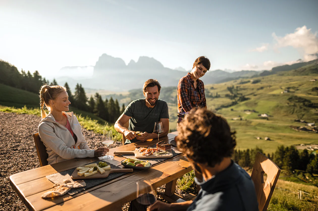
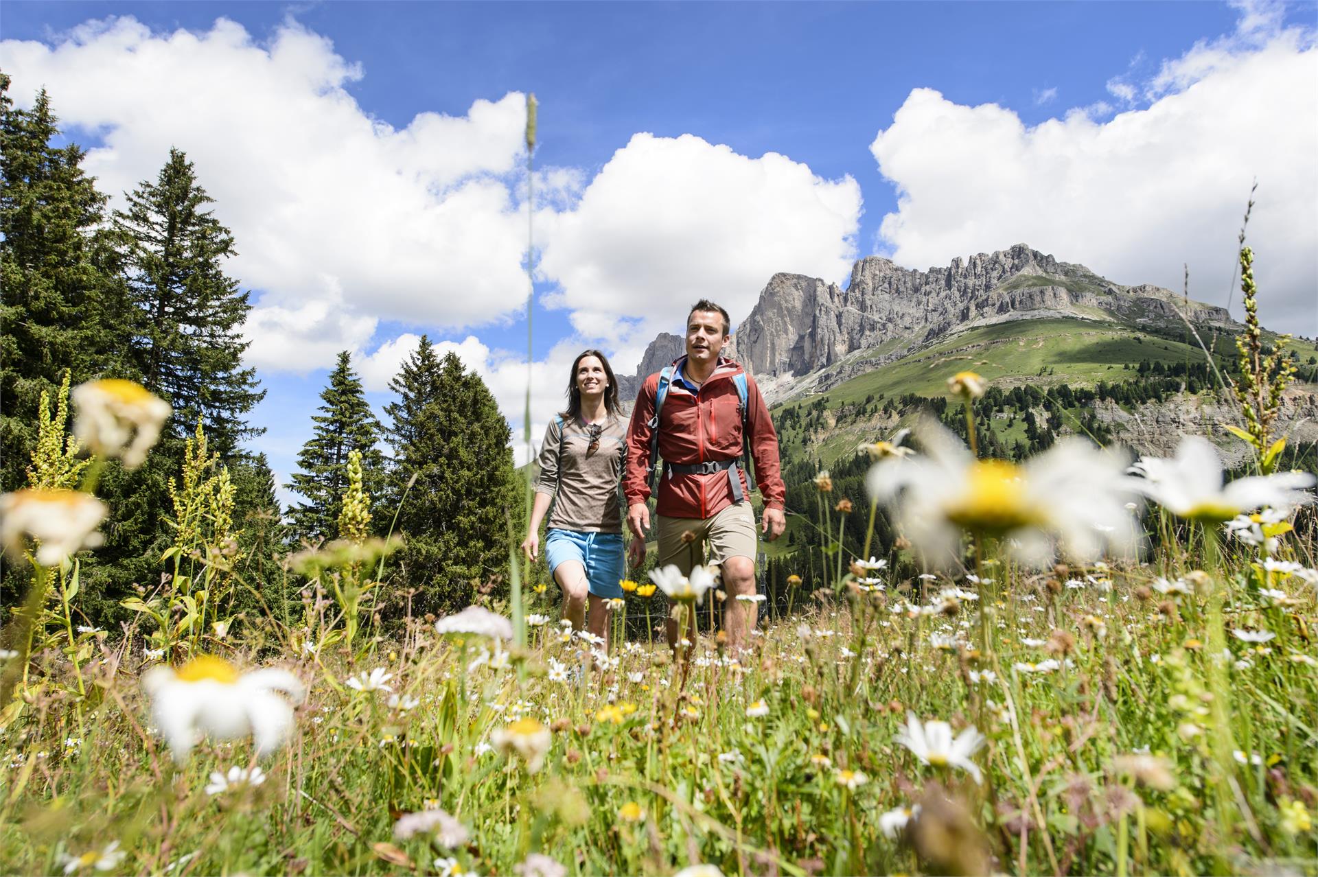
Themed Hikes
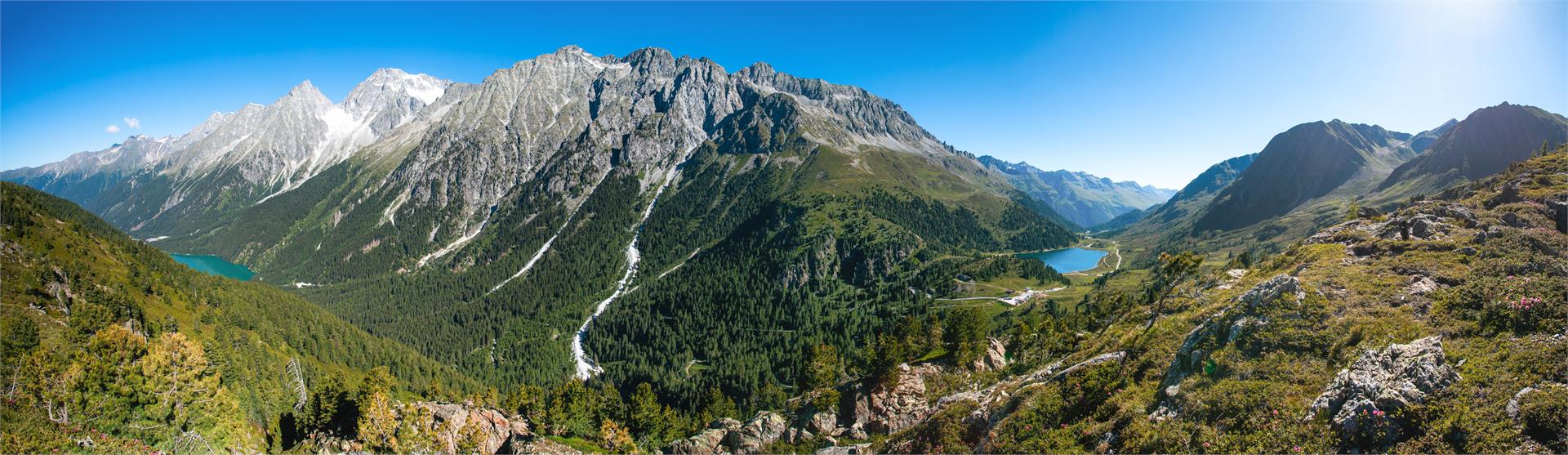
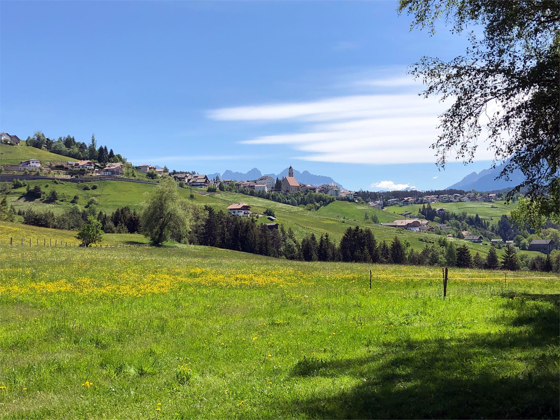
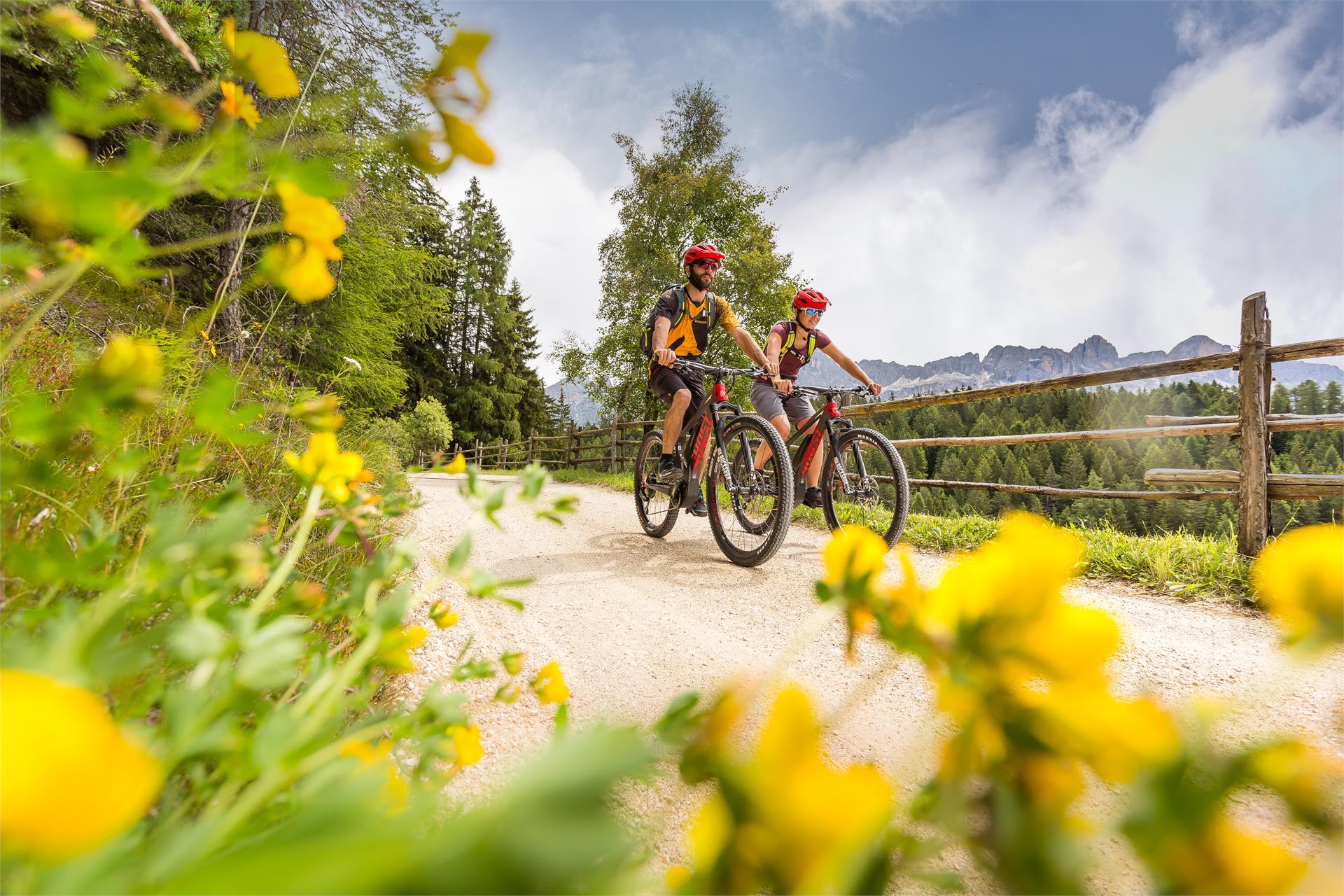
Welschnofen/Nova Levante, Dolomites Region Eggental
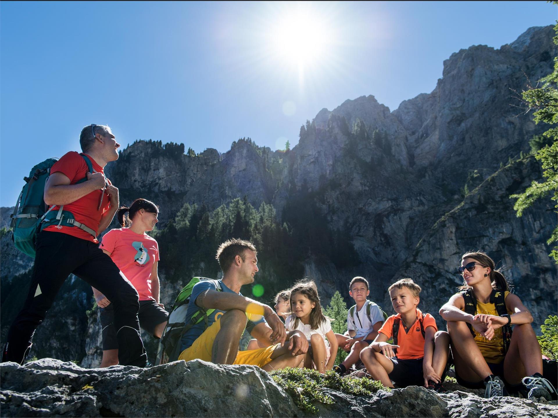
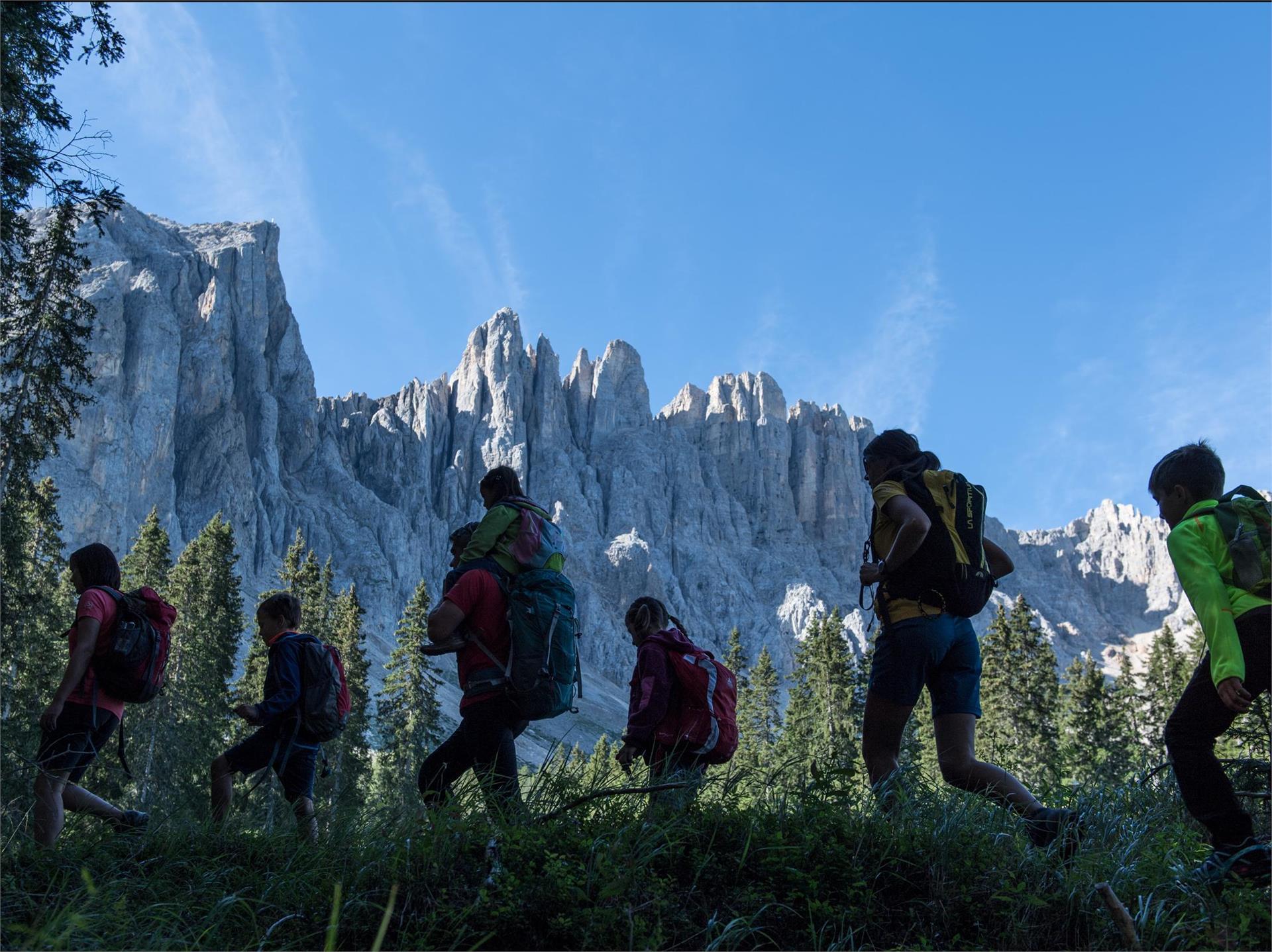
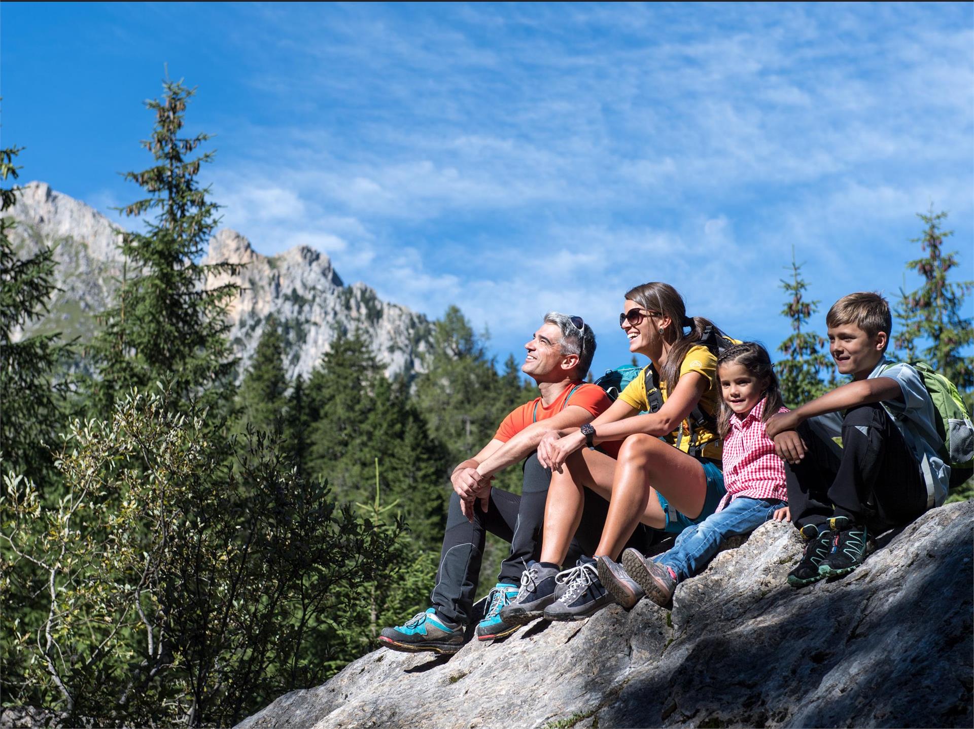
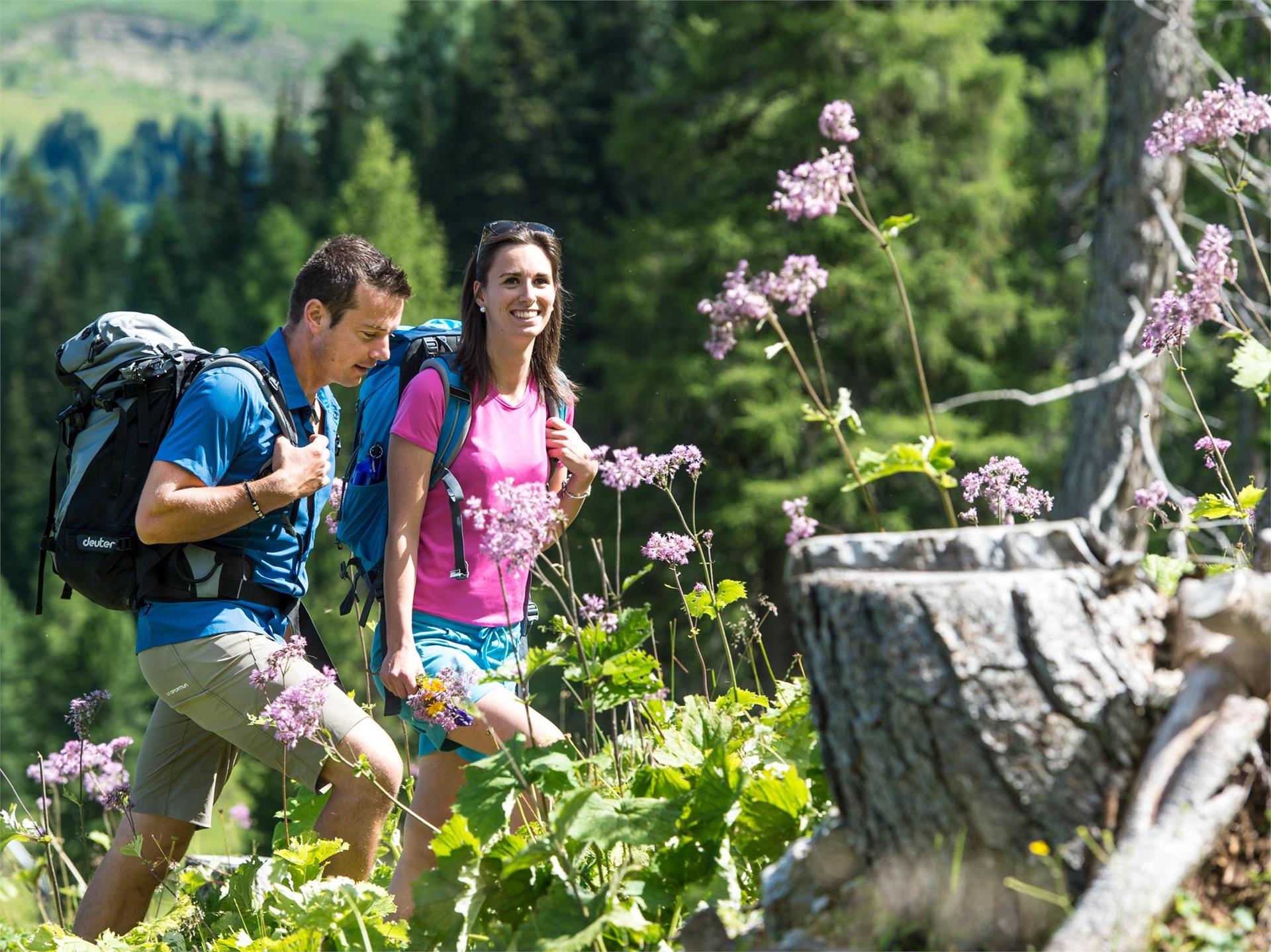
Hike & Bike Eggental – You can't decide whether you'd rather explore the Eggental on foot or by bike? Then it's best to do both! The Eggental E-Bike Sharing in combination with our countless hiking routes make it possible.
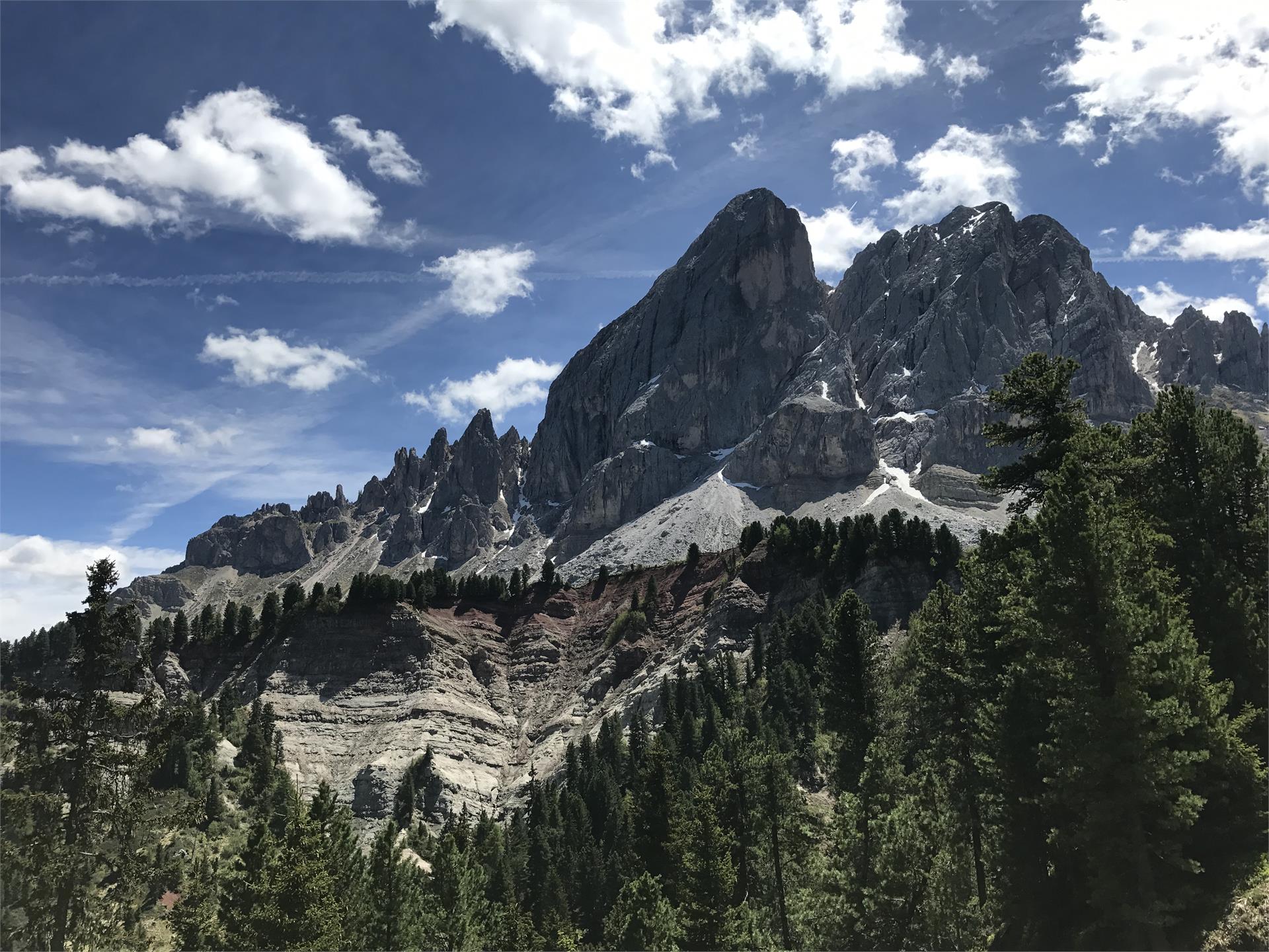
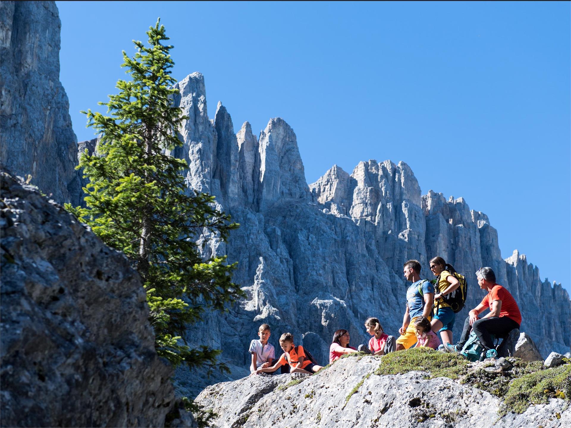
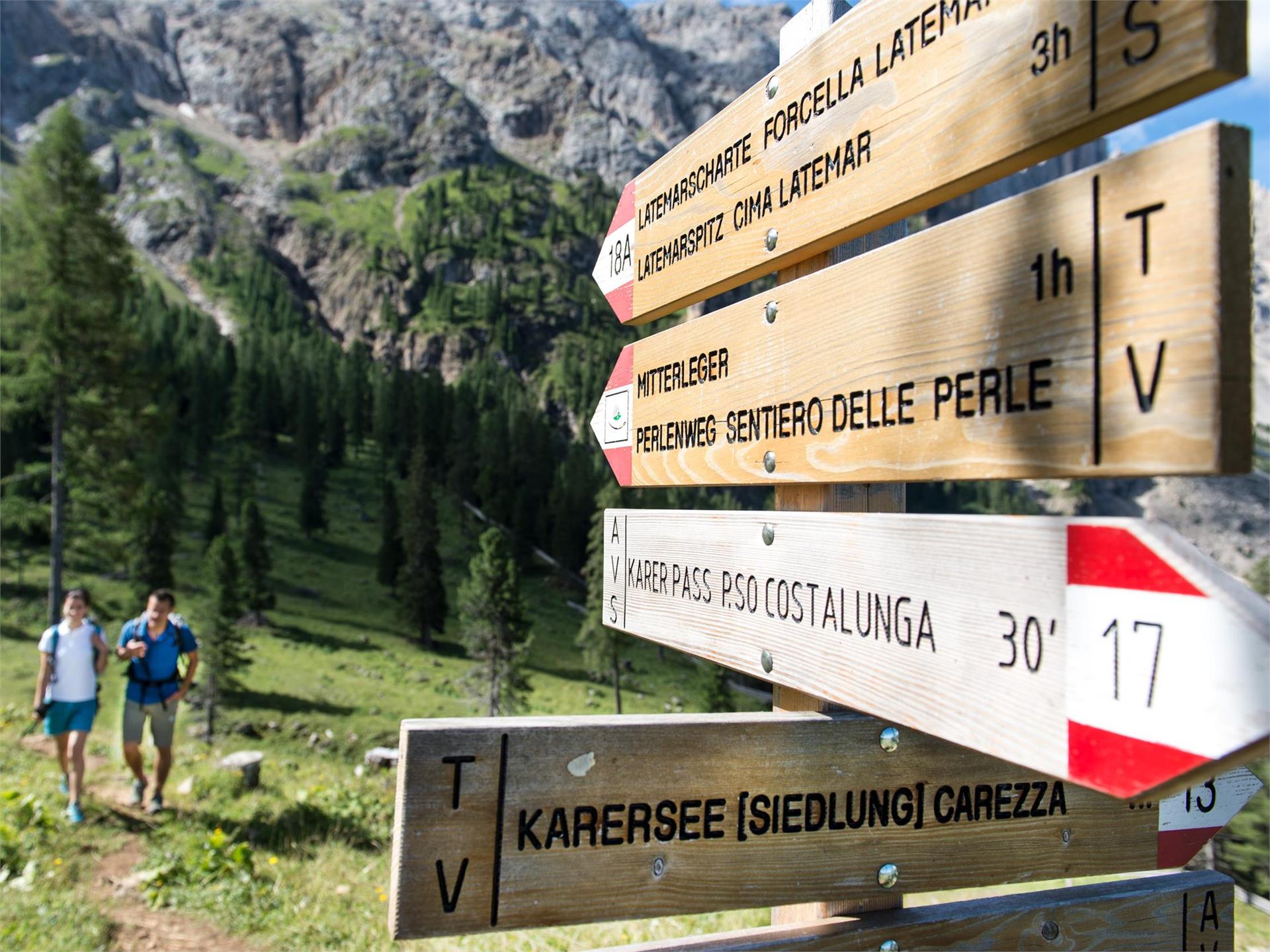
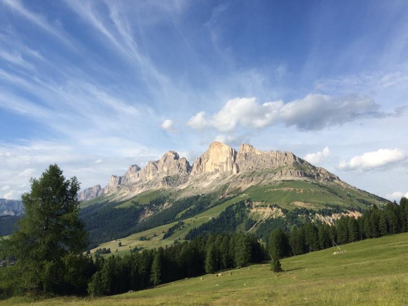
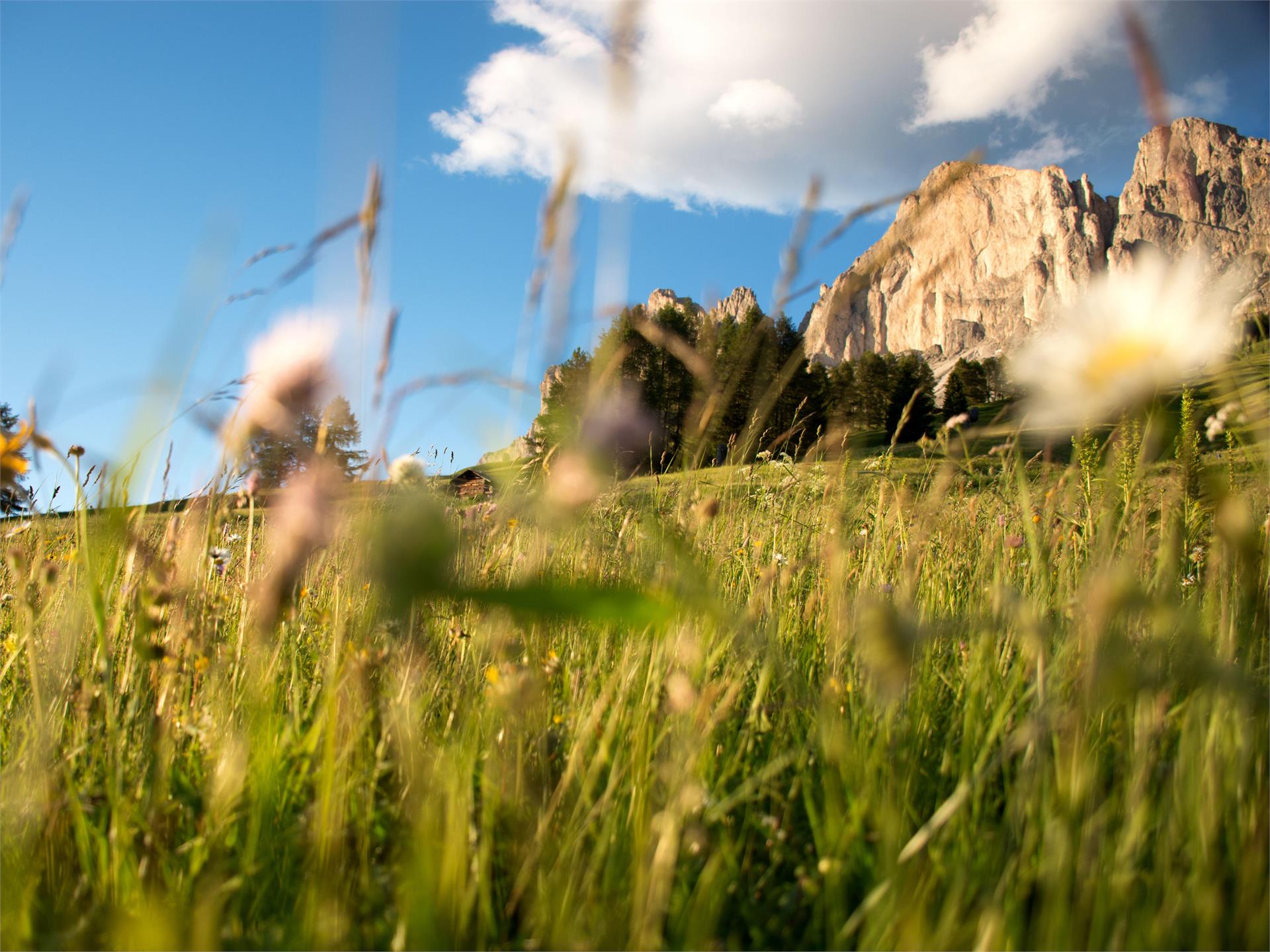
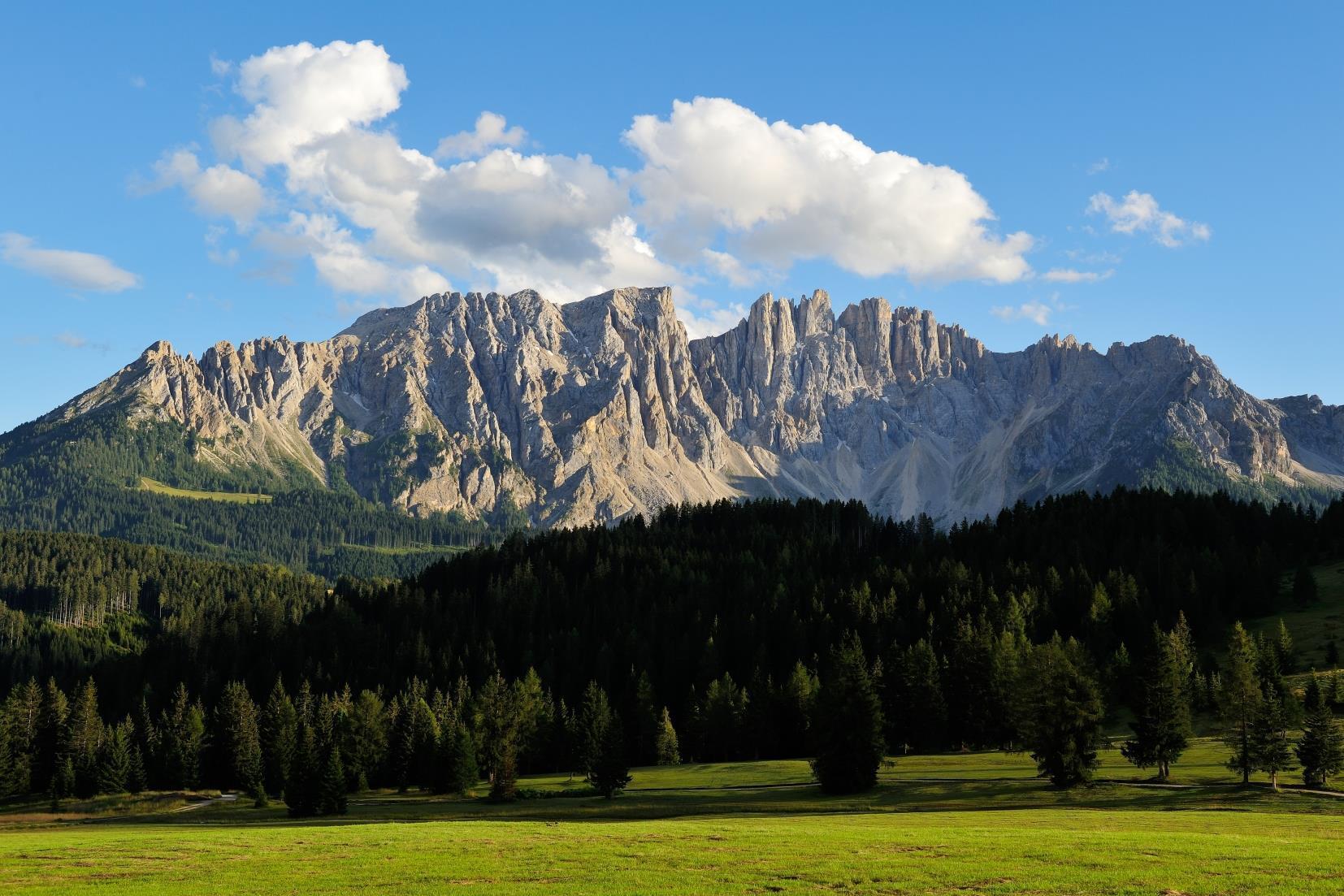
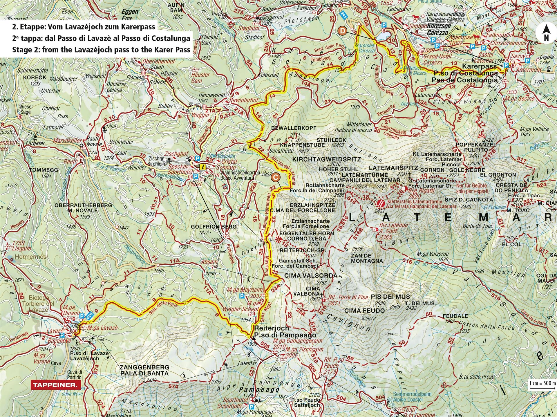
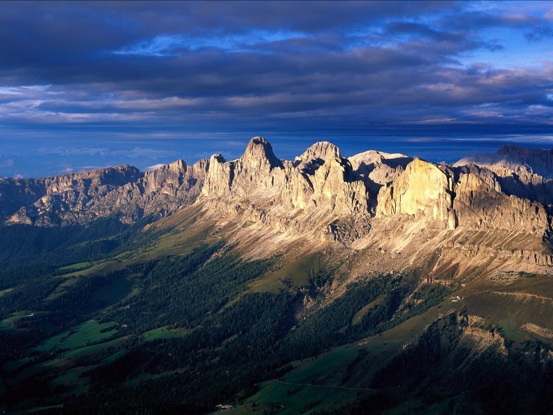
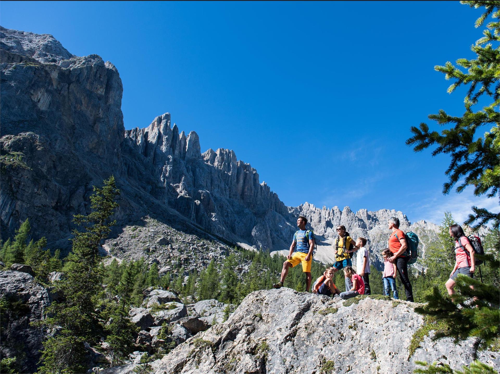
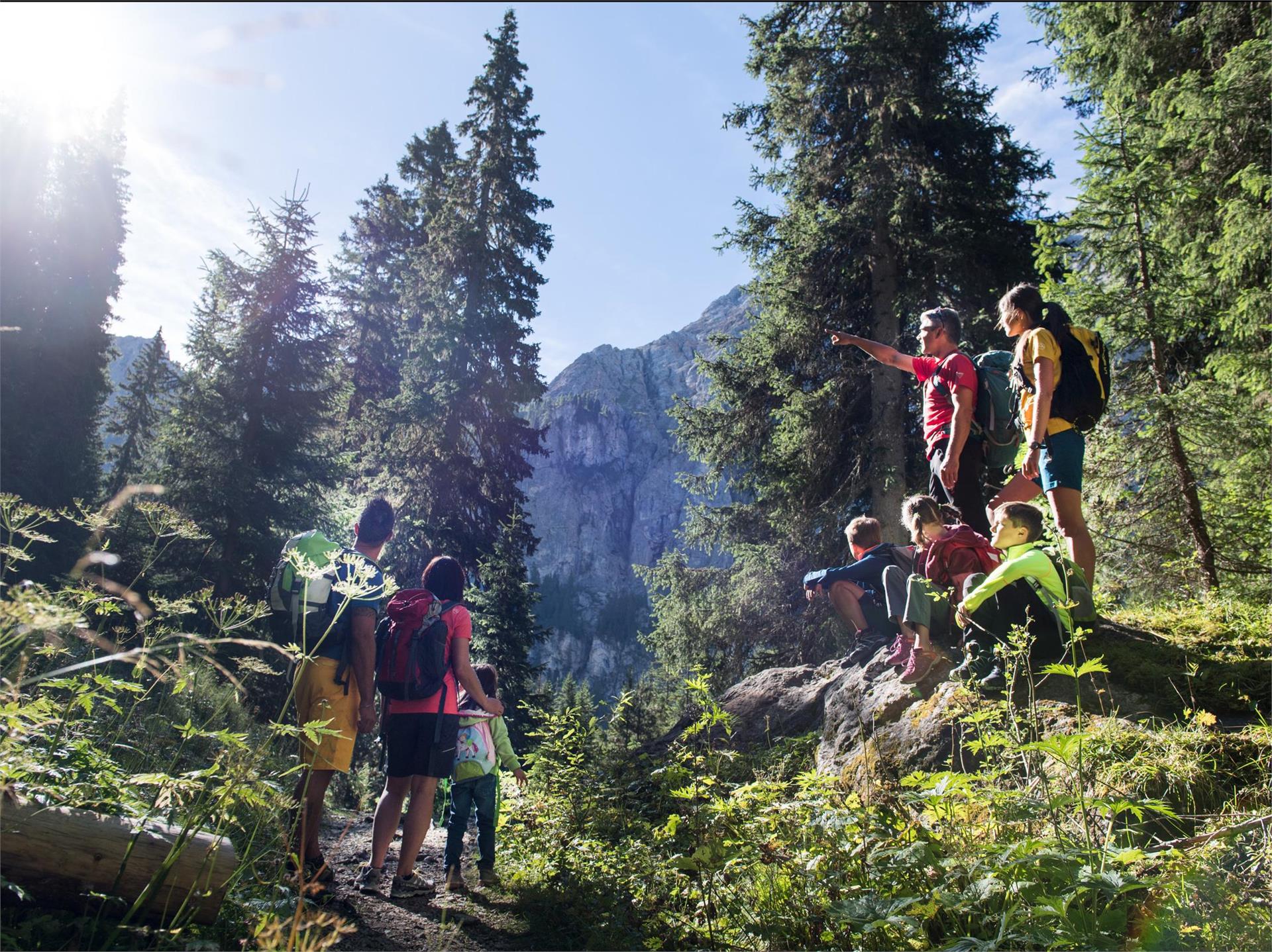
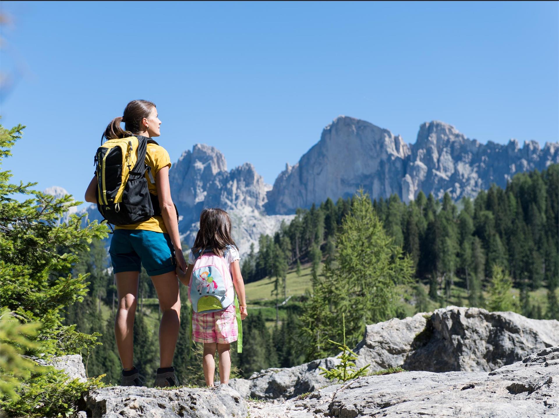
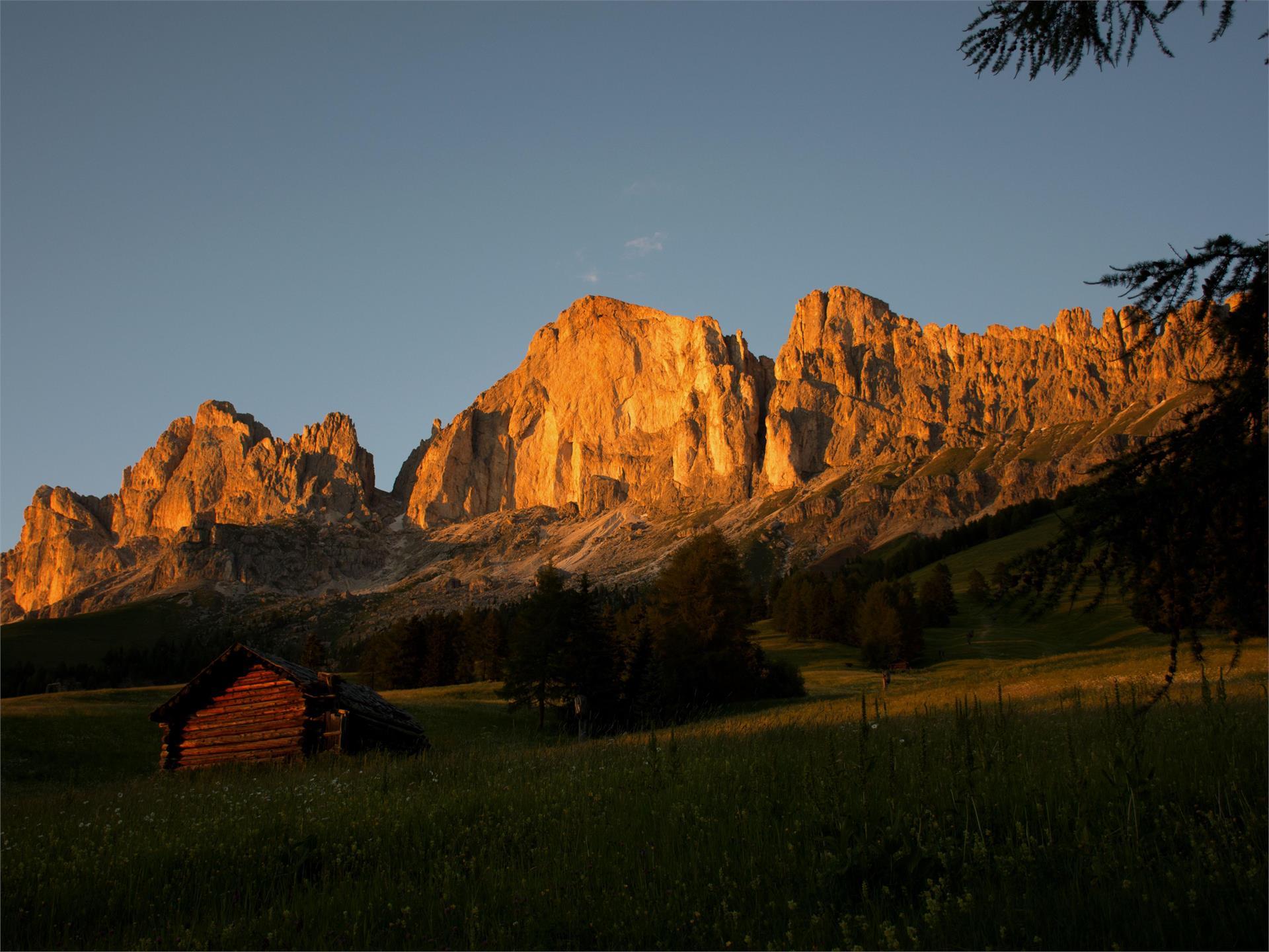
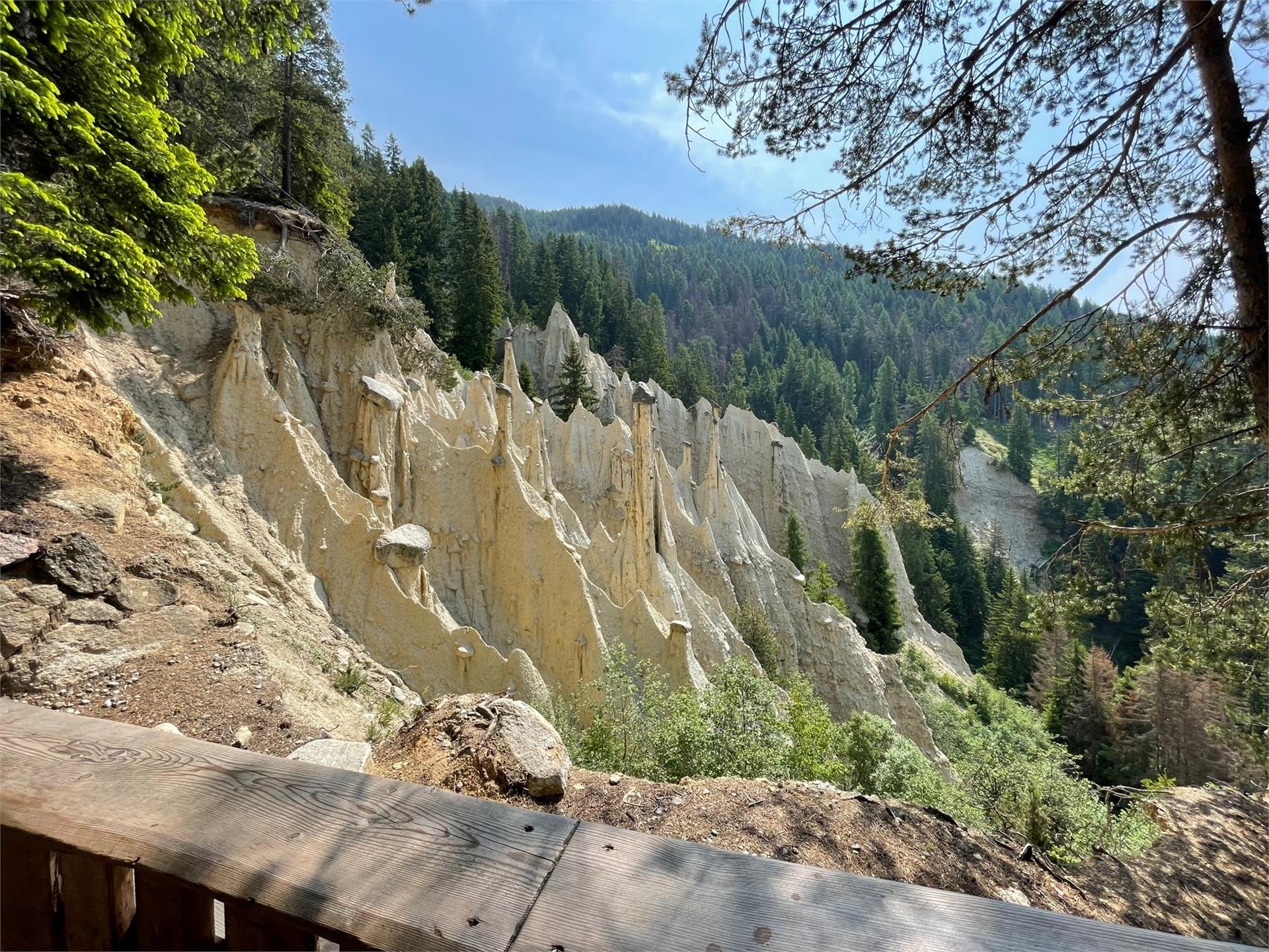
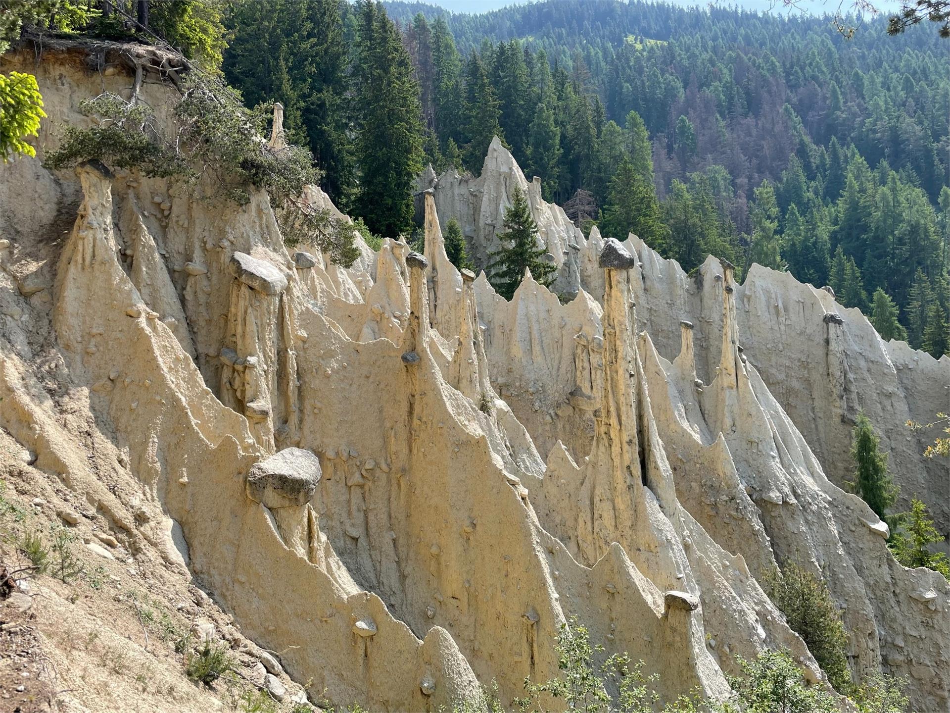
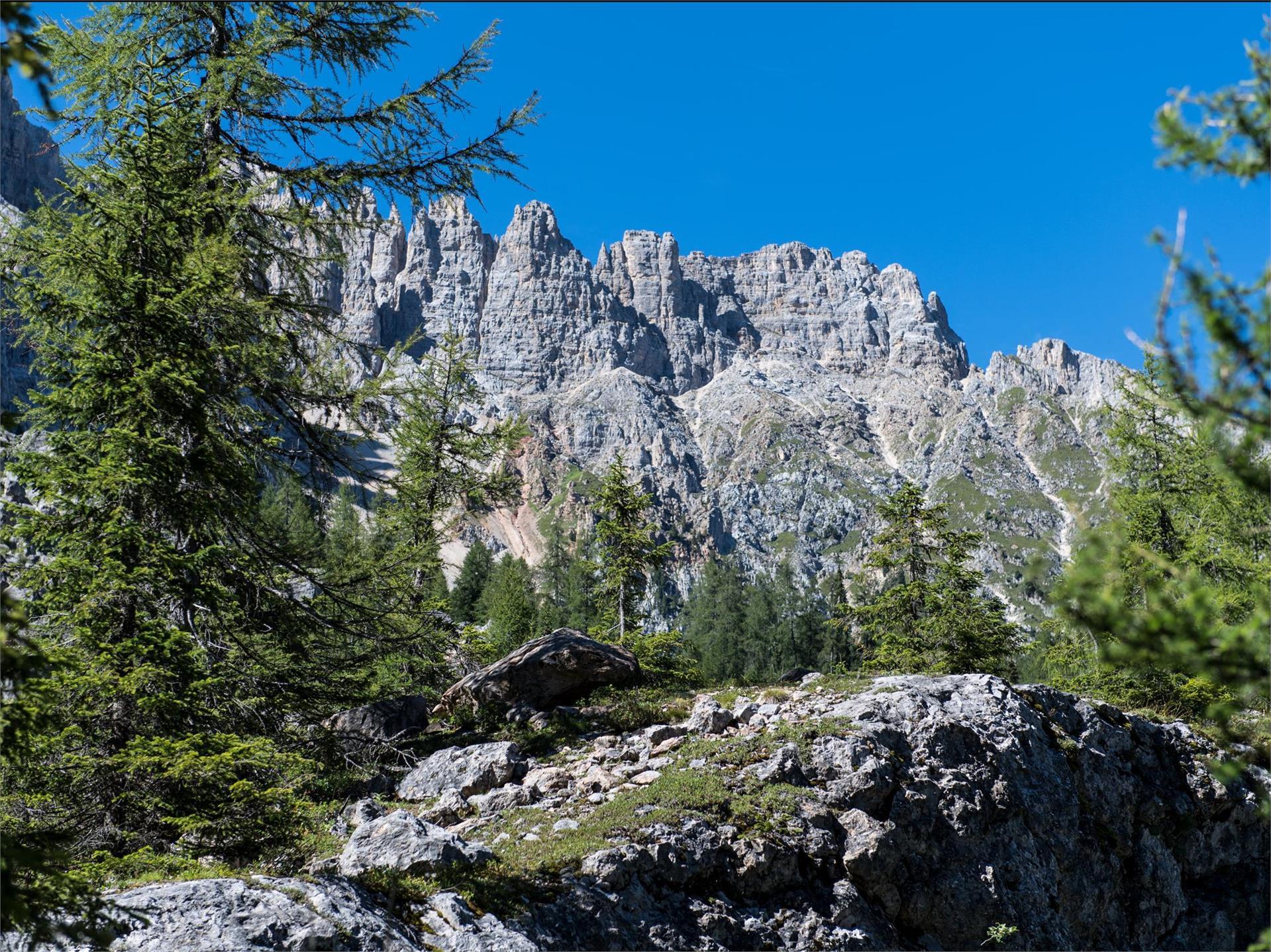
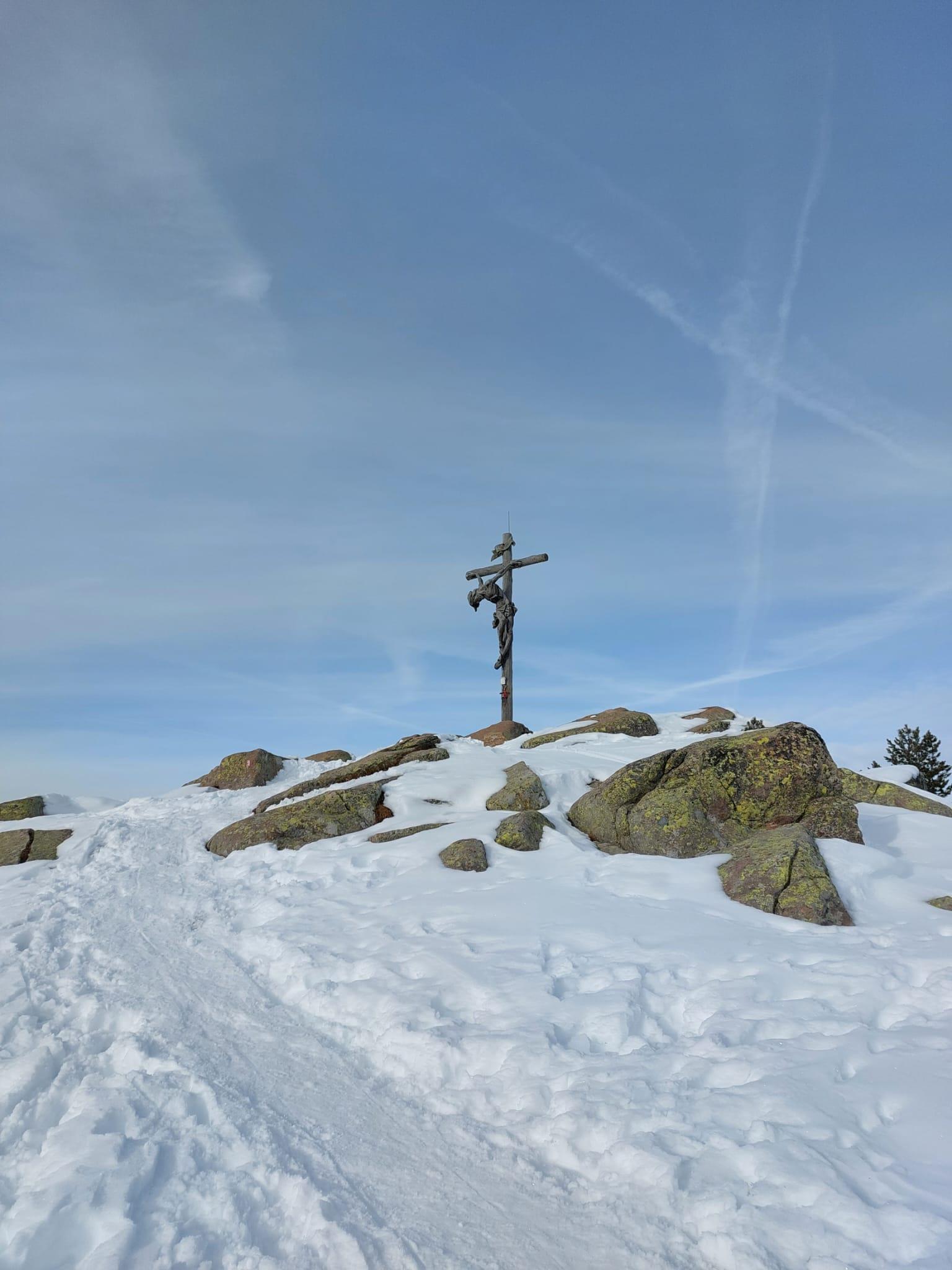
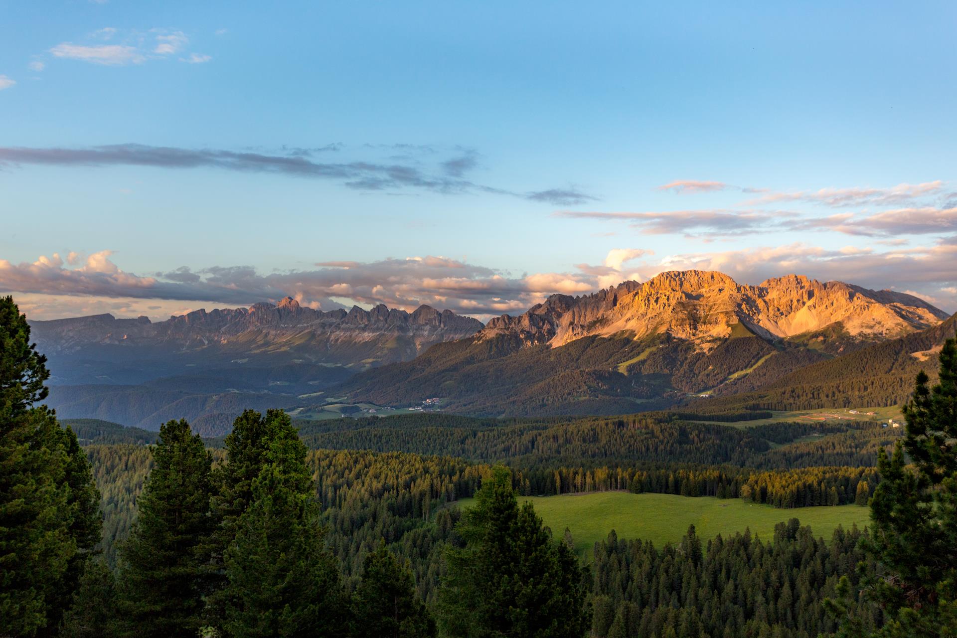
With the bus we reach Passo Costaluga where we take the path to a mysterious rock labyrinth which a huge landslide from the Latemar a long time ago has formed at the foot of the Latemar.where we follow the signposts no. 21 and 17, stretching underneath the Latemar. First we walk along a broad forested trail, until we reach the first signpost "Labyrinth". Immediately the forest ends and the mighty Latemar towers into the sky in front of our eyes.