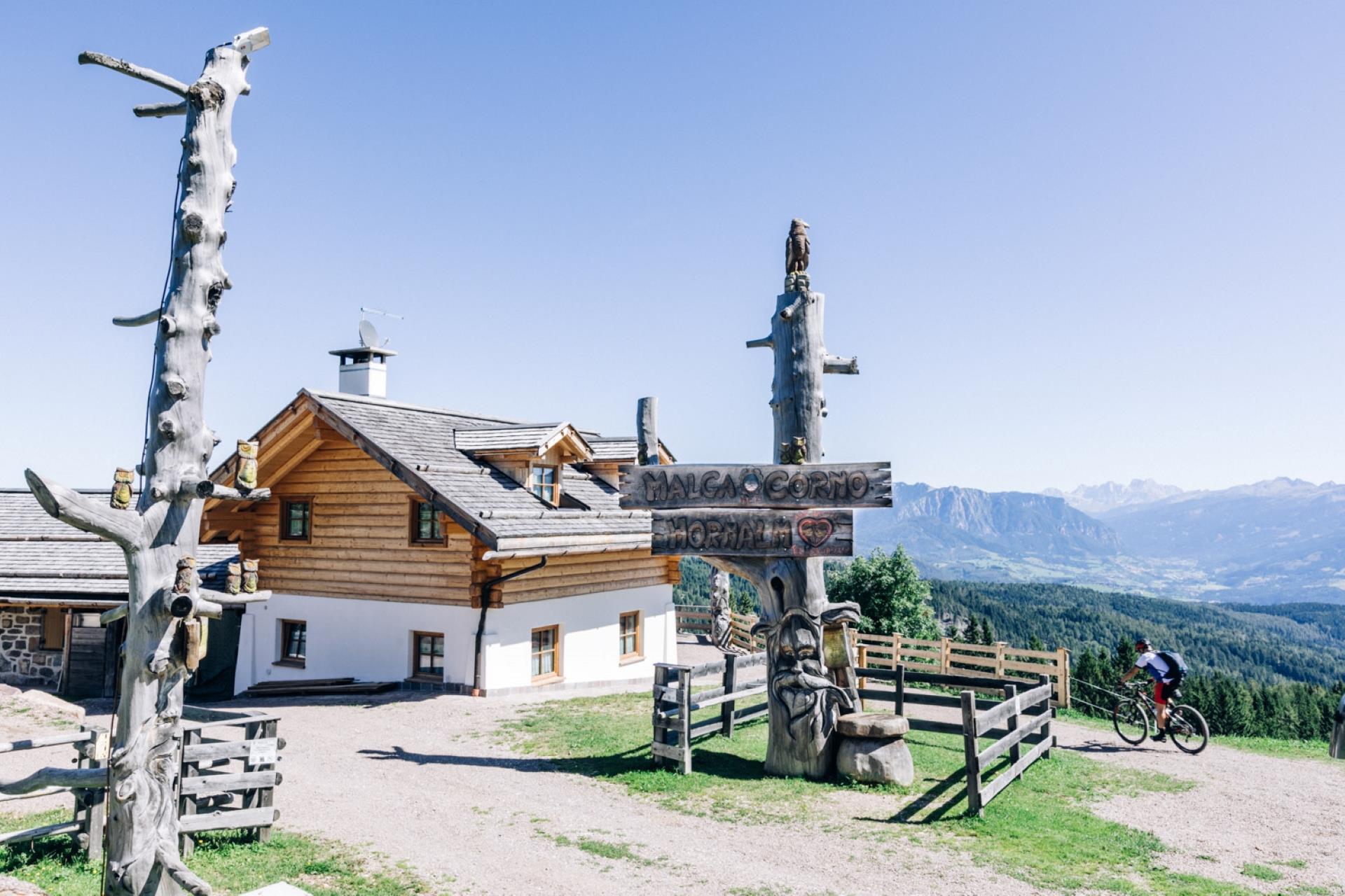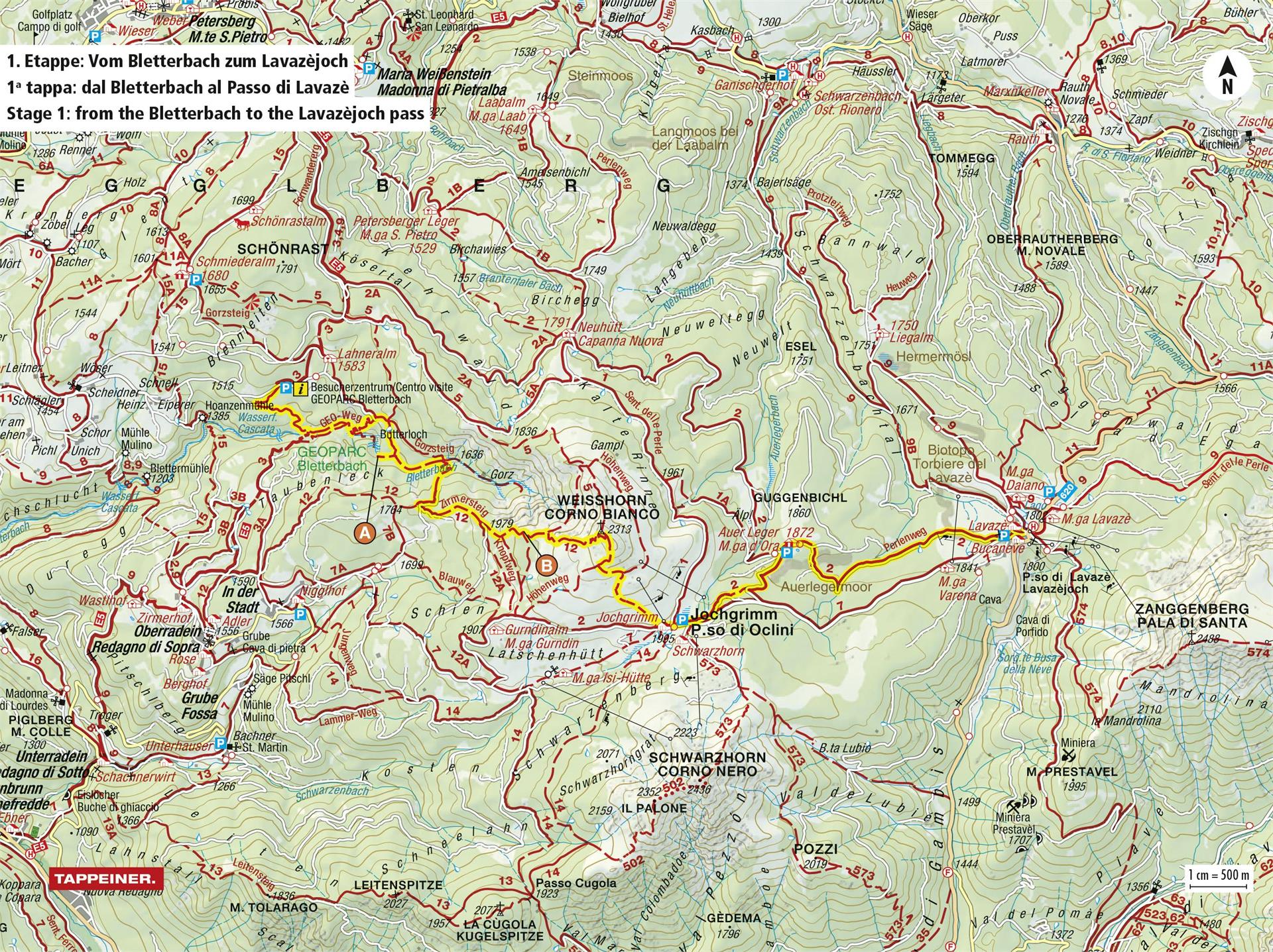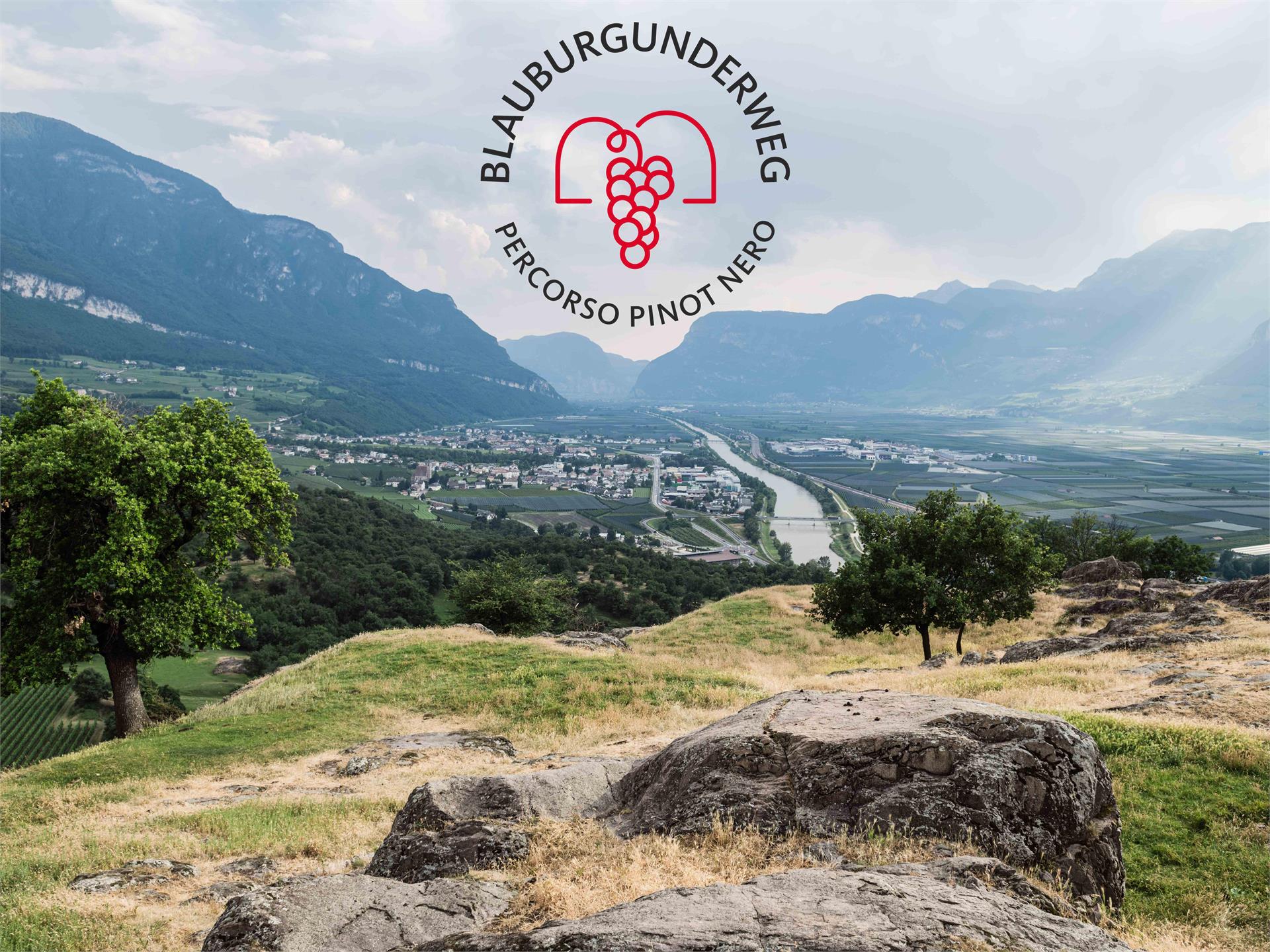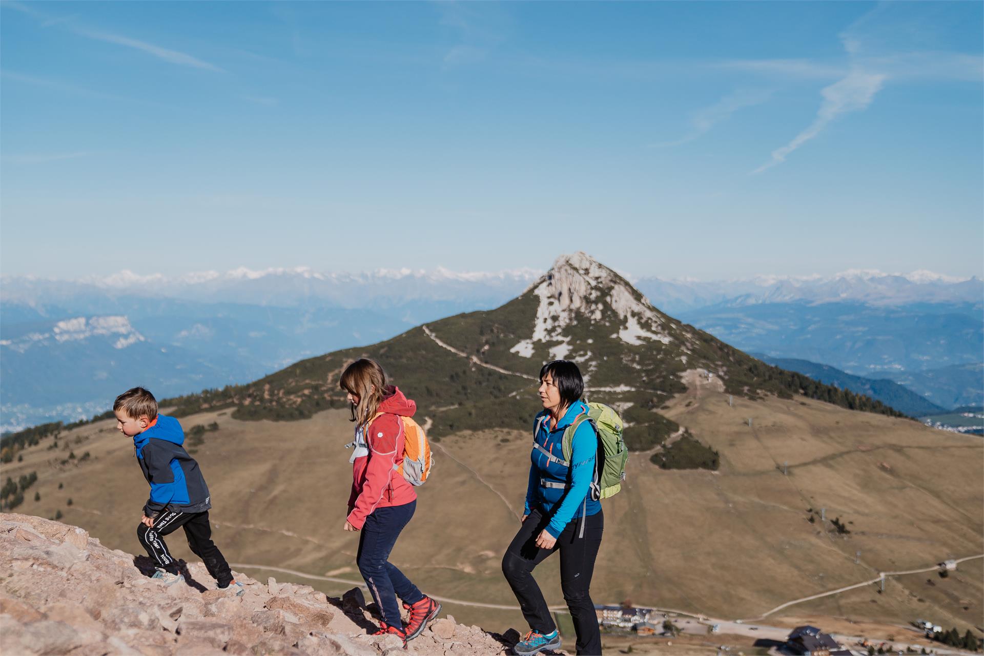
Long-Distance Hiking Paths
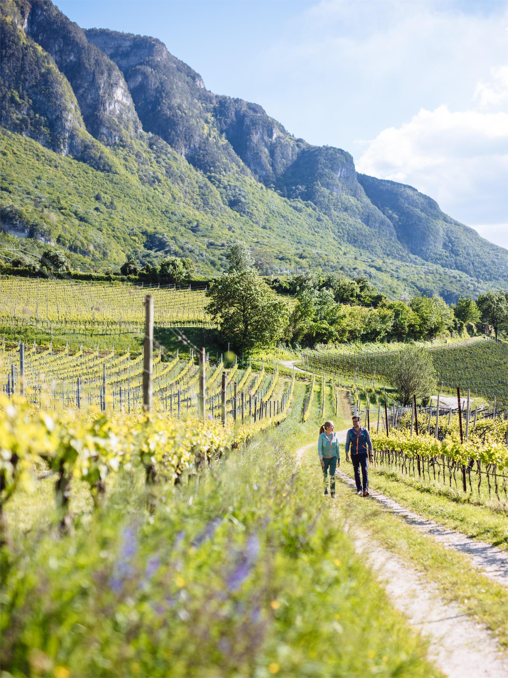
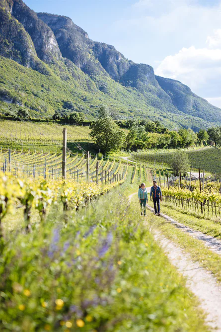
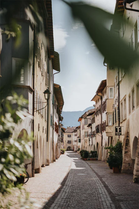
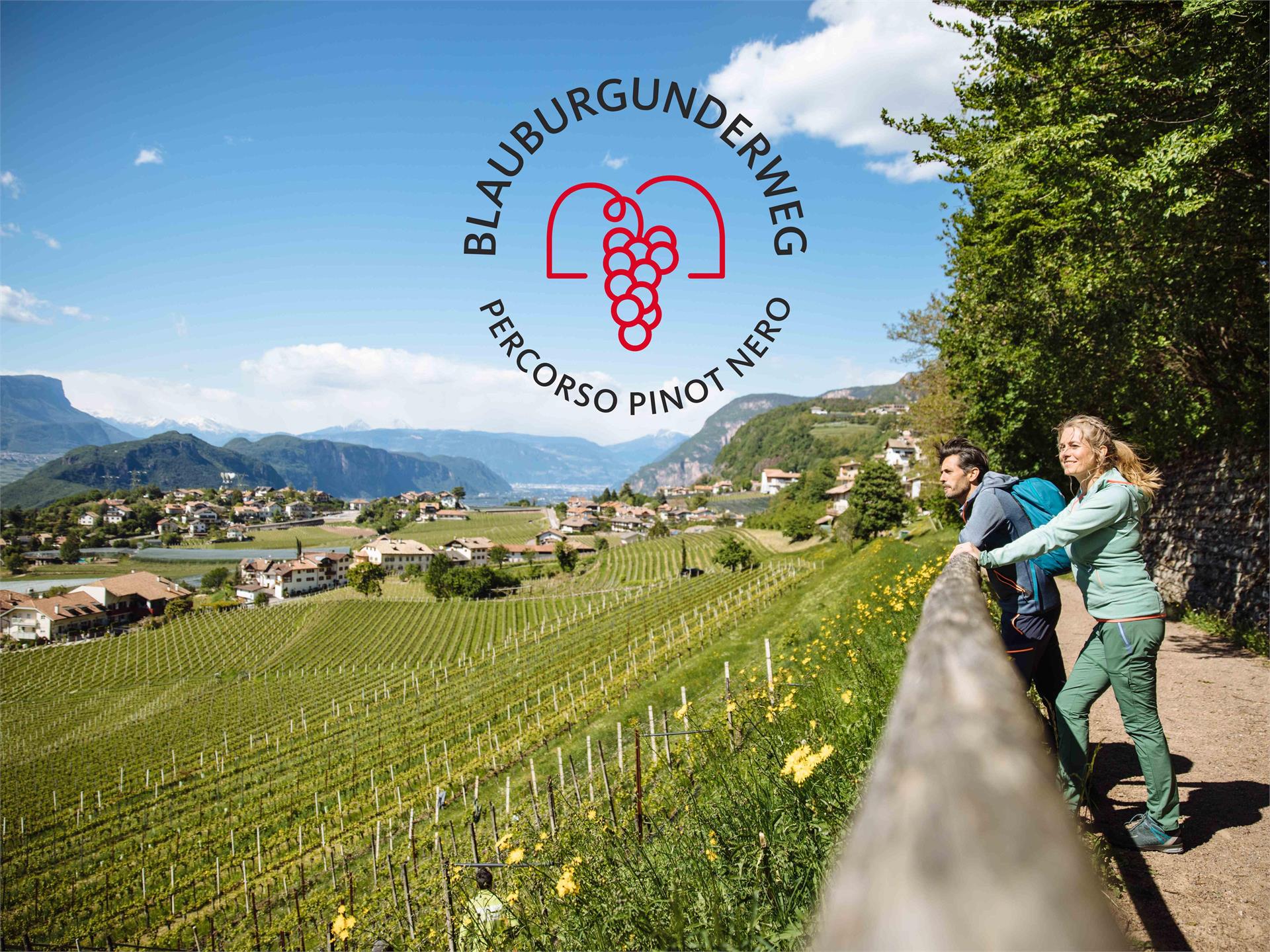
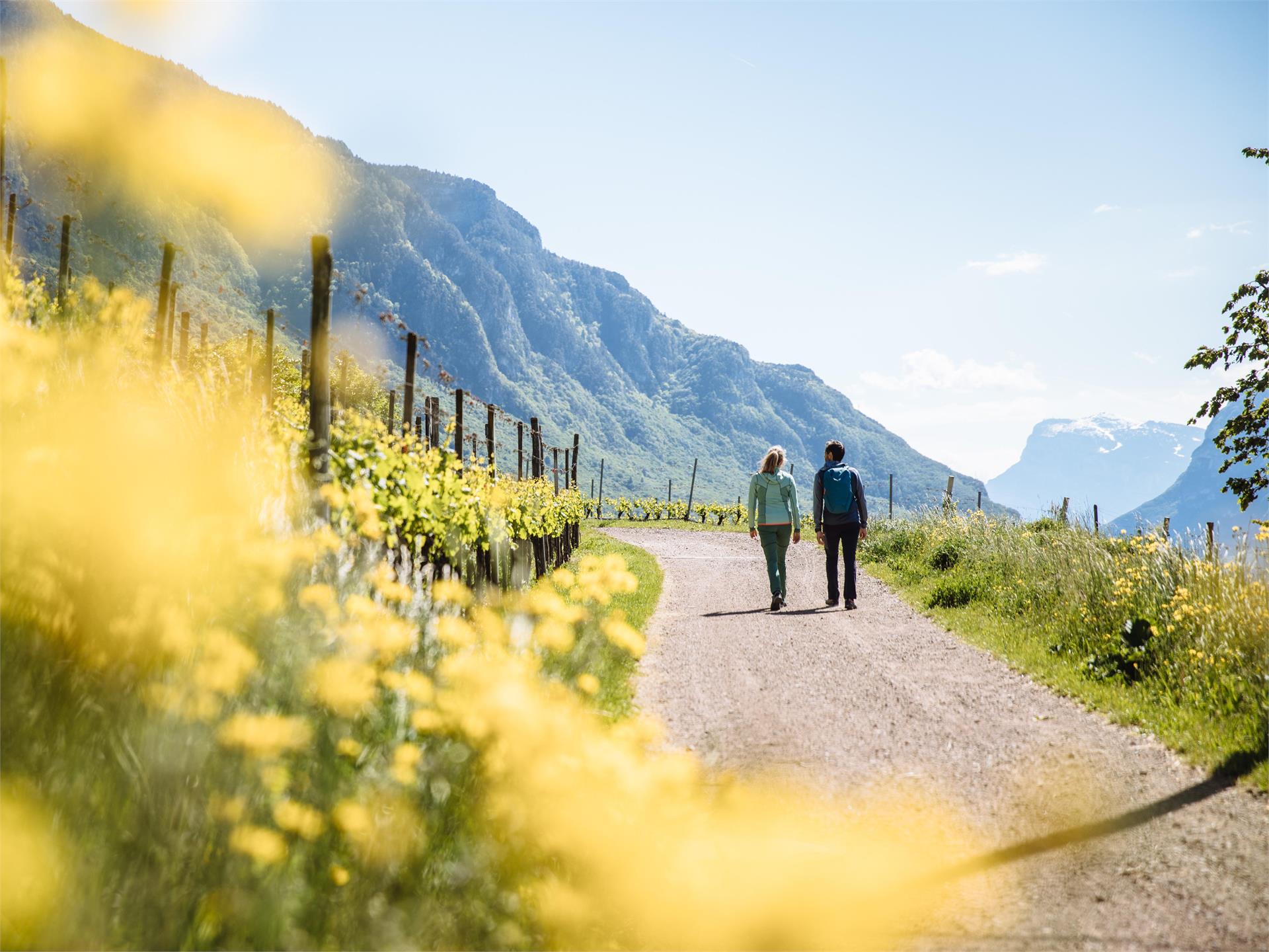
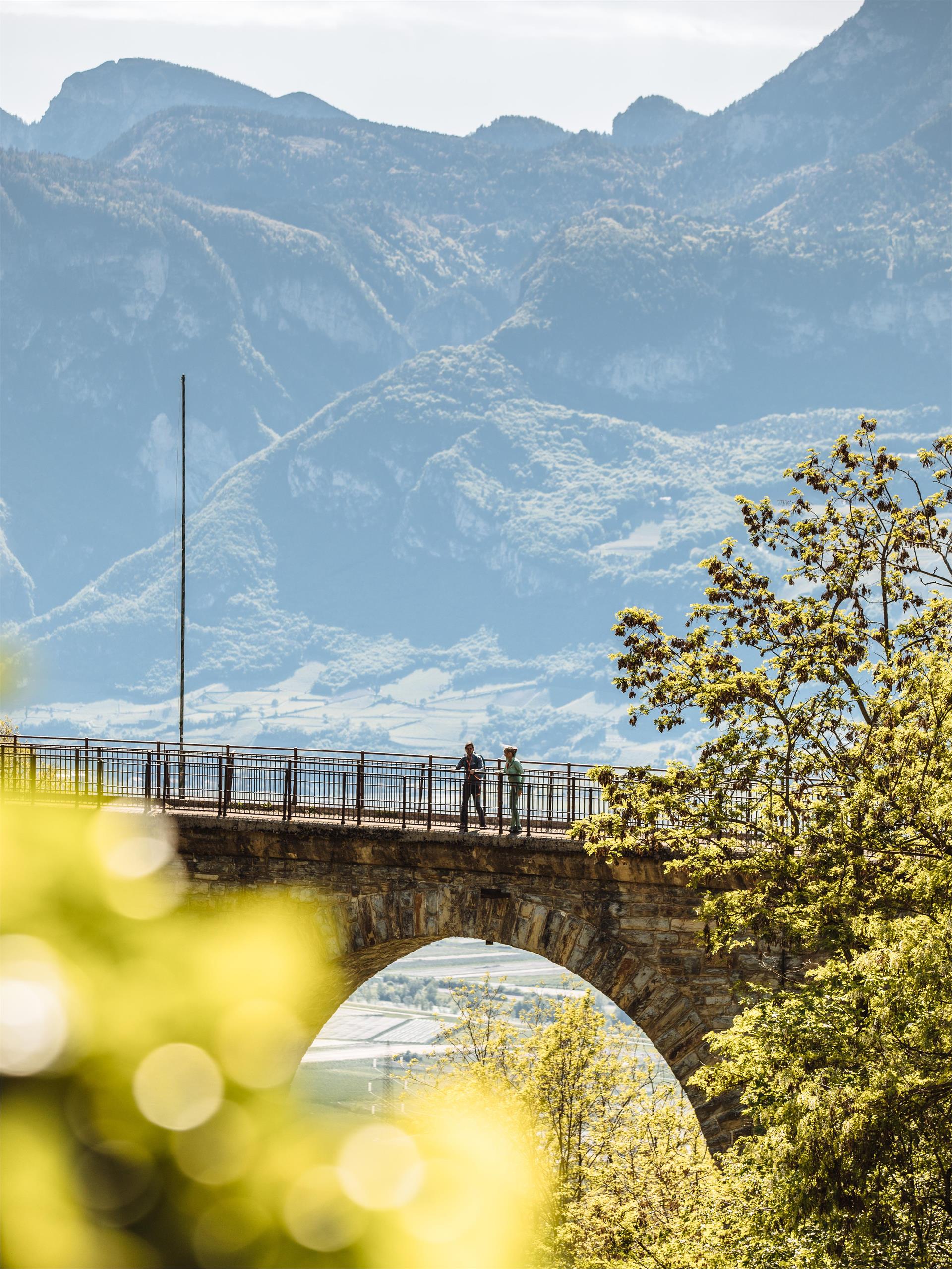
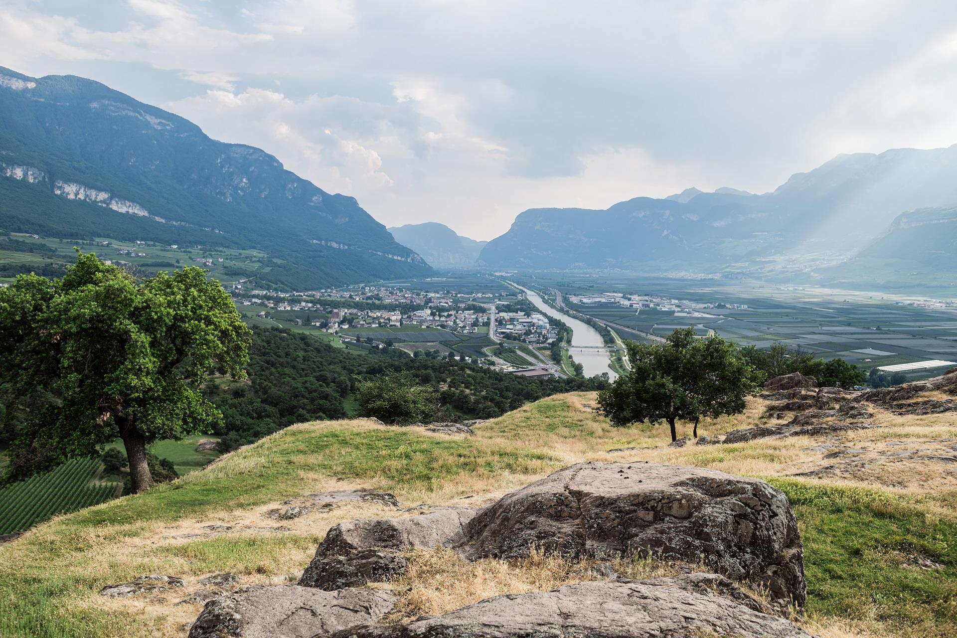
Salorno/Salurn, Alto Adige Wine Road
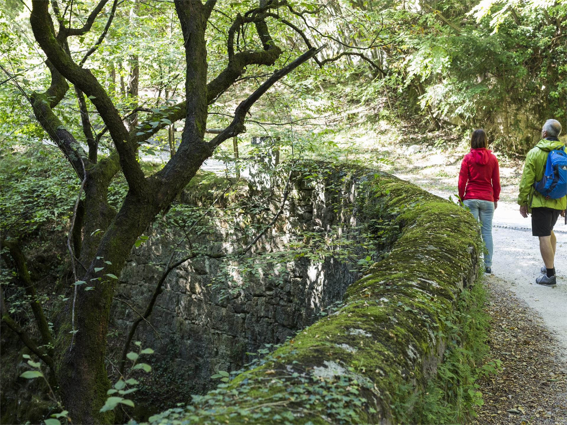
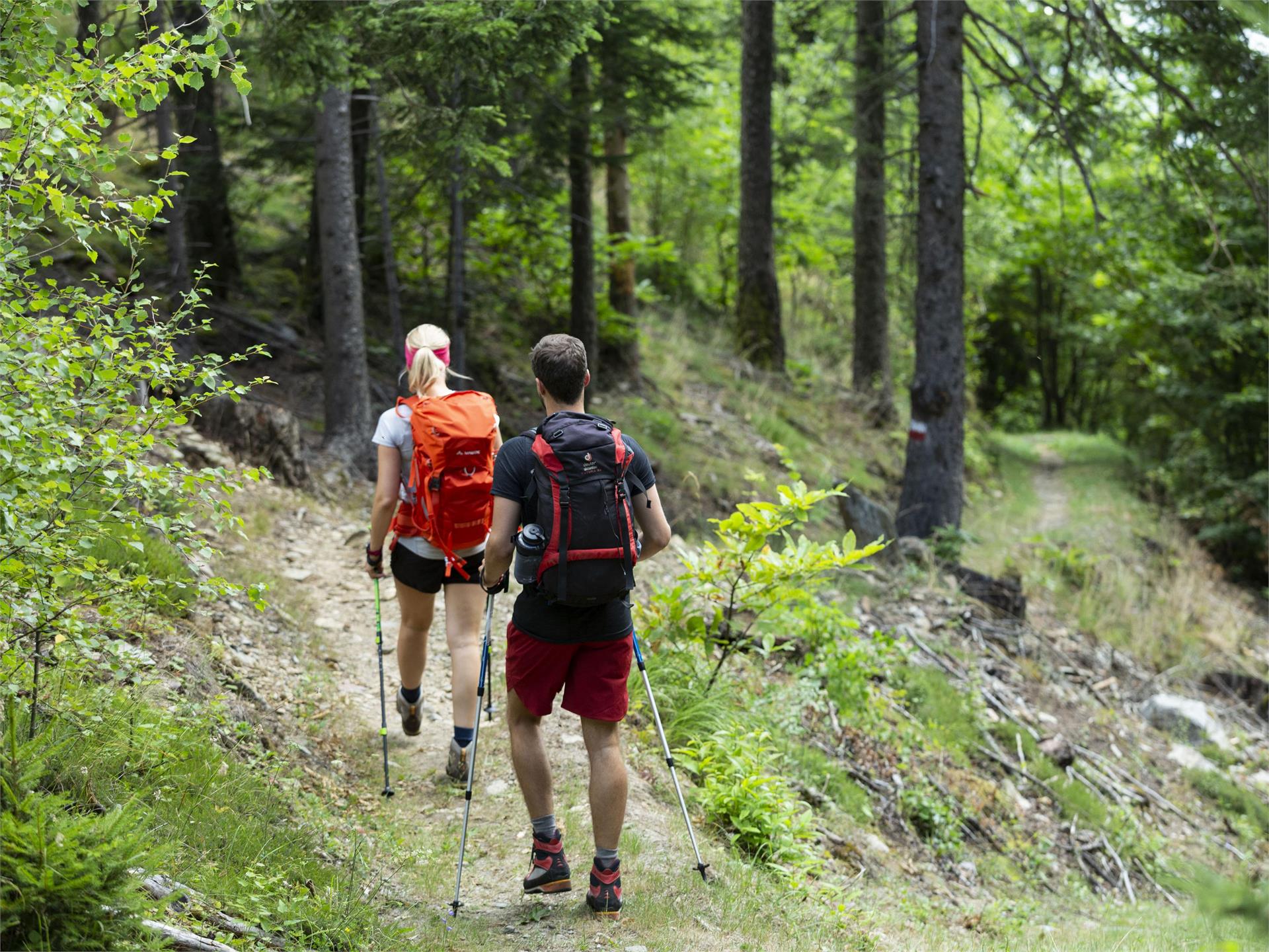
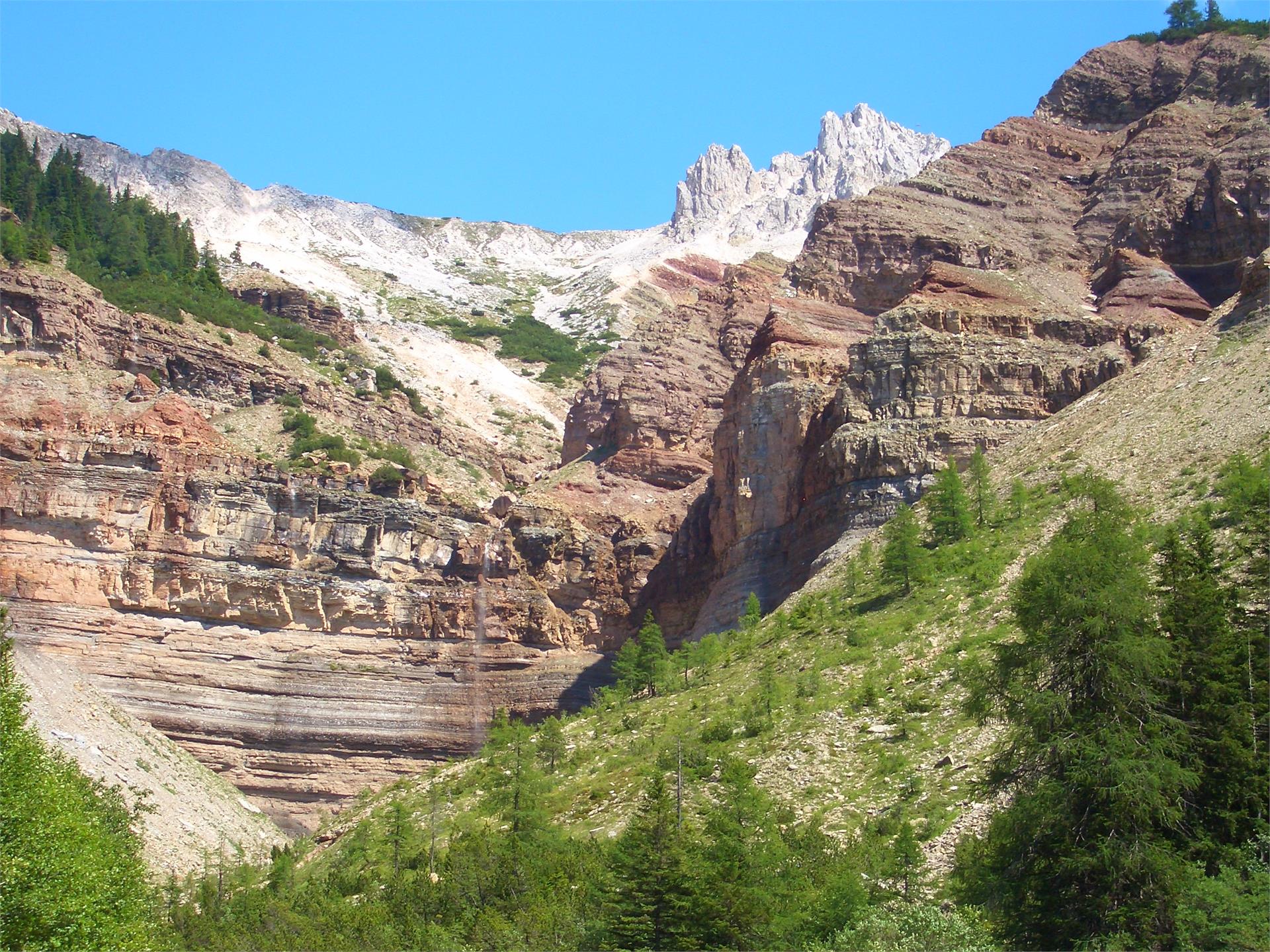
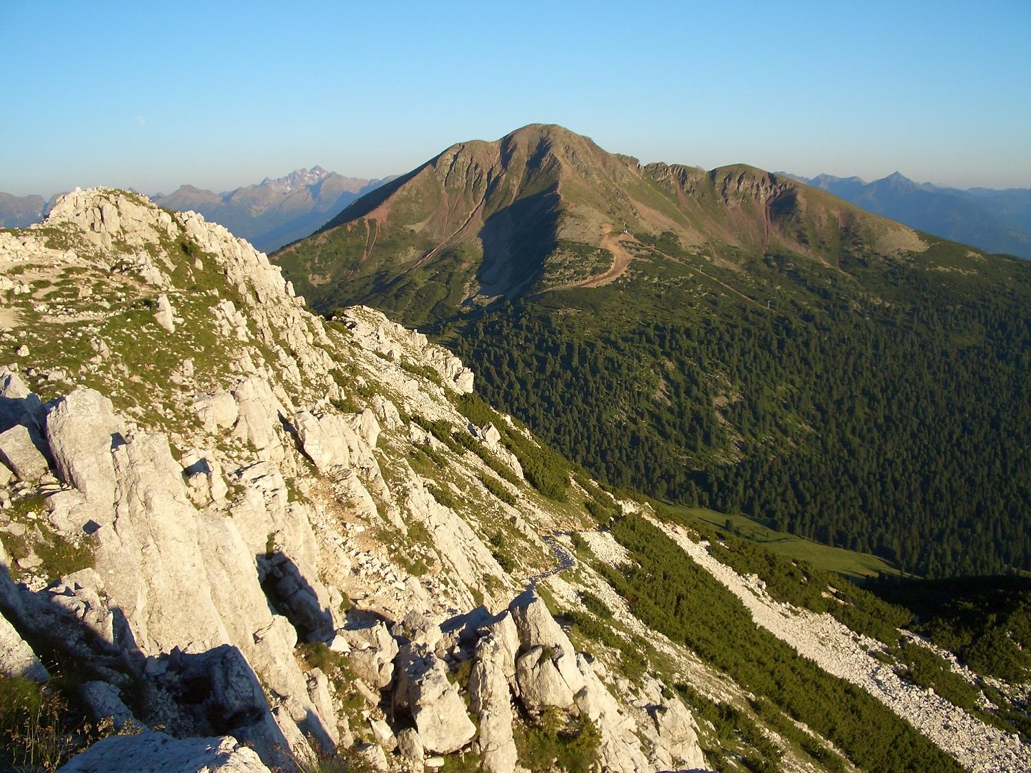
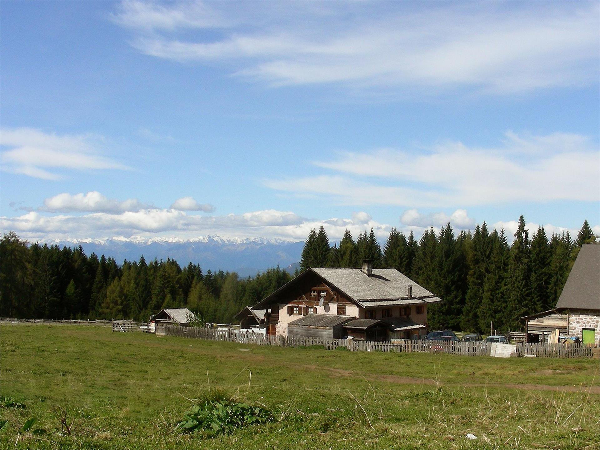
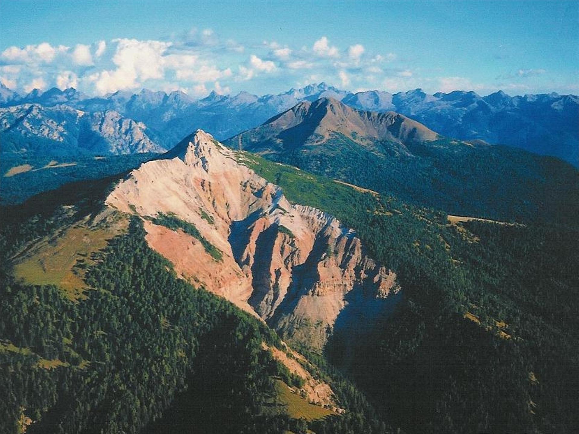
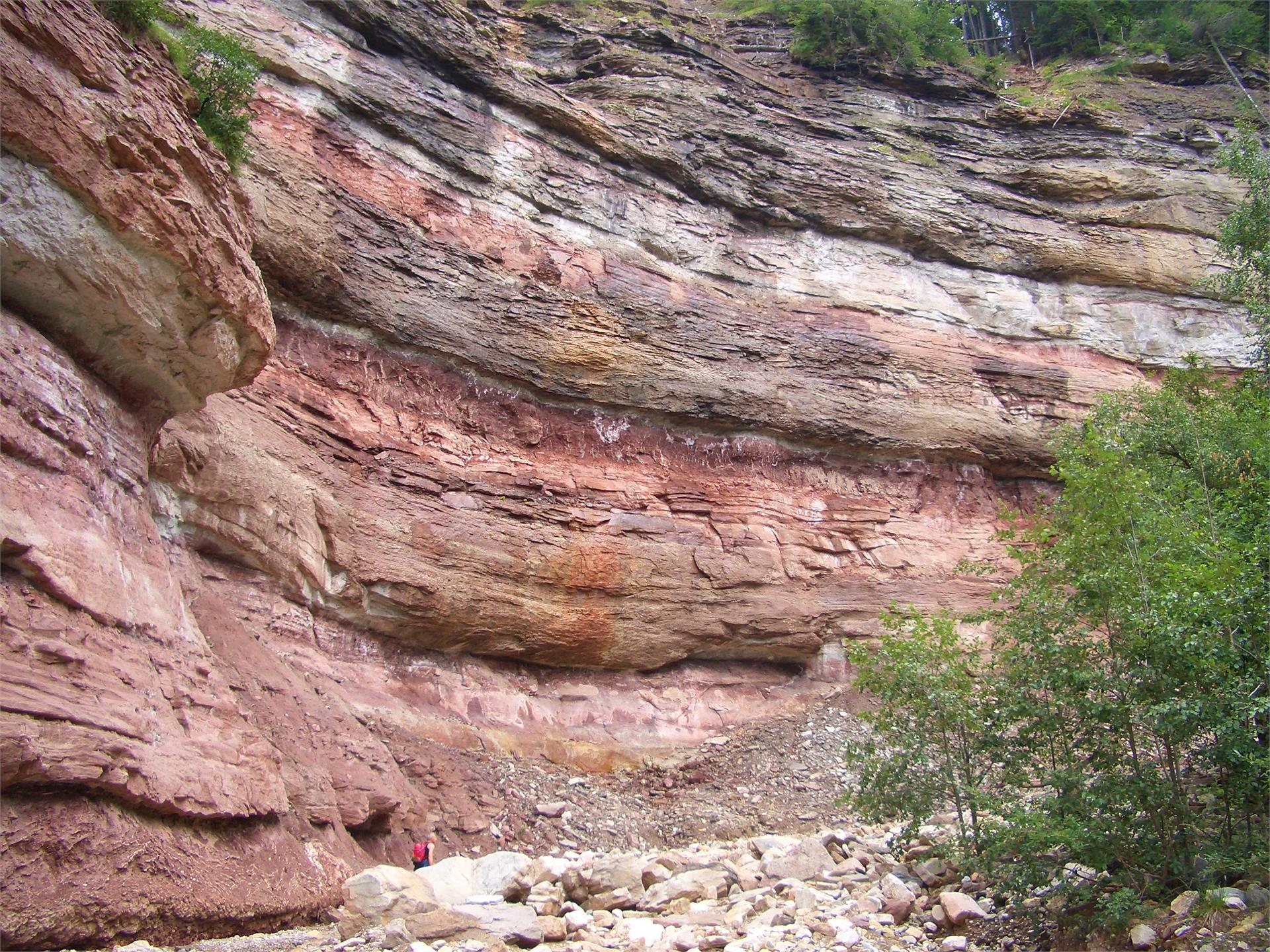
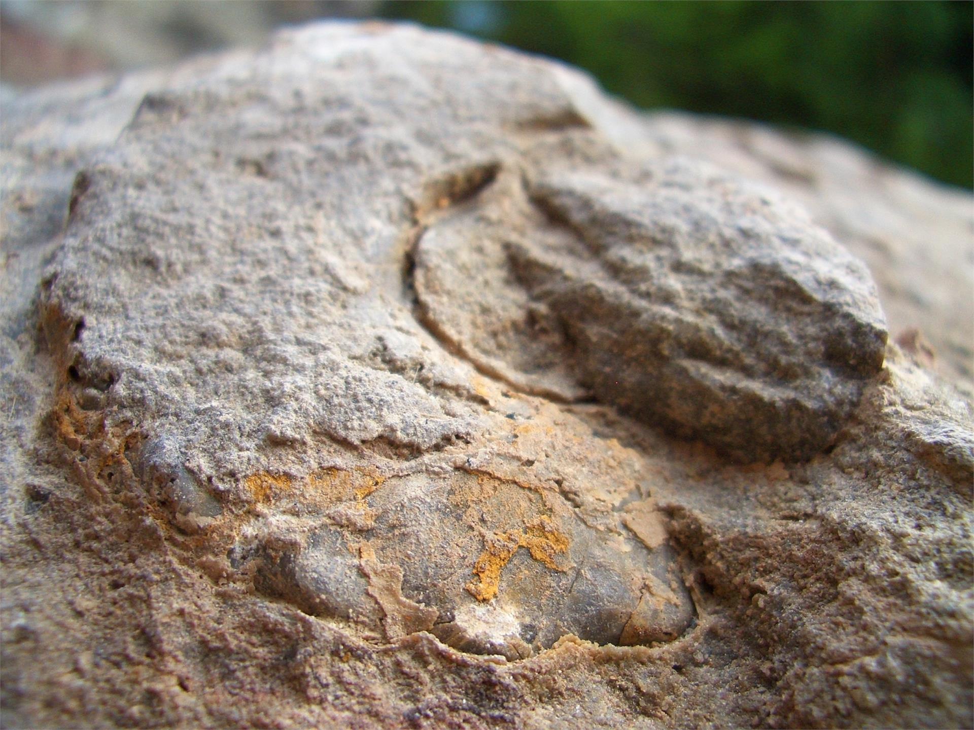
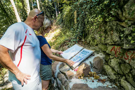
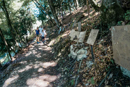
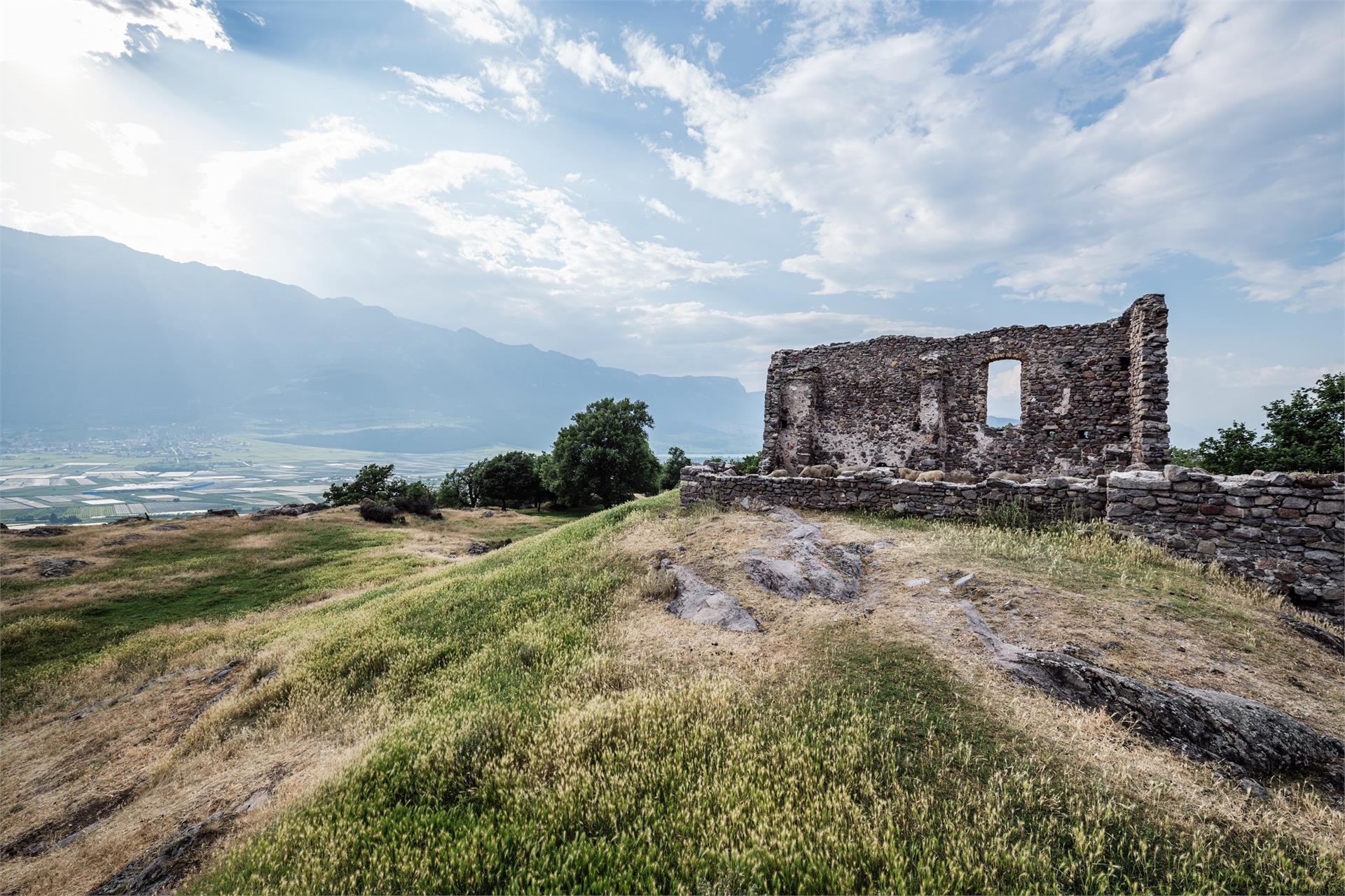
From the small village of Buchholz, you will then continue on to Gfrill. Right after Buchholz, the Truden Faultline becomes especially noticeable. This boundary is visible not only on the basis of the different geological strata (dolomites and porphyry), but also due to the change in vegetation. The trail is steadily uphill until you come to the ruins of the walls of an old cableway. You continue along the old cableway trail, steadily uphill, until arriving in Gfrill, an alpine village surrounded by plenty of natural beauty.